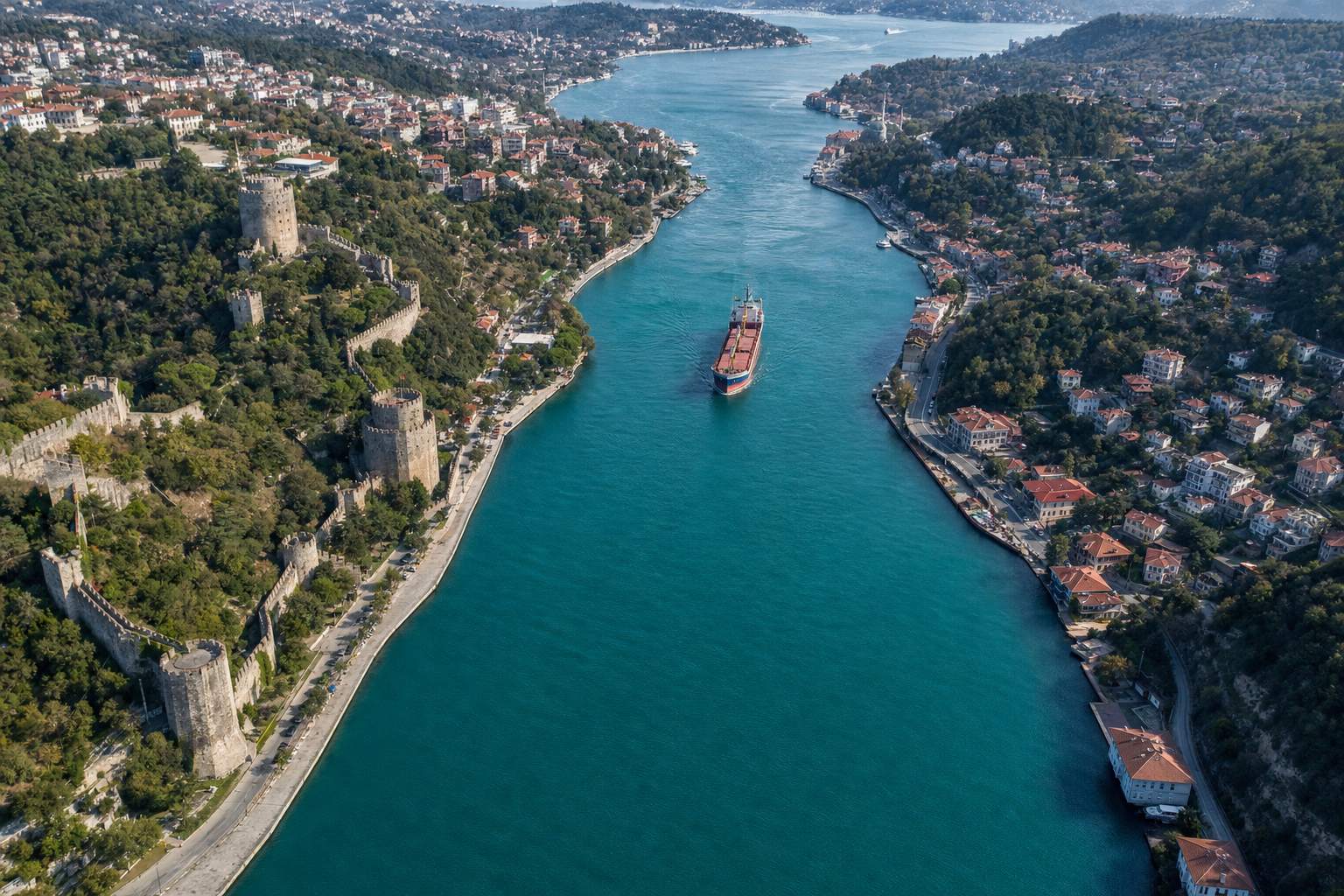
On 28 October 2026 three naval drones struck the container ship Contship Jet off Bulgaria, on its way to Romania, as the defence ministers of Bulgaria, Romania and Türkiye met on Black Sea security. This film explains the geography and law behind every ship in that sea: why the Black Sea's only link to the oceans is a chain of two narrow straits and the Sea of Marmara; how fresh water flows out on top while salty water flows in underneath; why empires from the Persians to the Ottomans fought to hold them; how the Treaty of Lausanne placed them under an international commission in 1923; what the Montreux Convention of 1936 says about merchant ships and warships; how Türkiye applied it in 2022 after Russia invaded Ukraine; and why the straits remain one of the world's busiest waterways.
Interactive 3D film9 min480 BC to AD 2026Published 29 October 2026
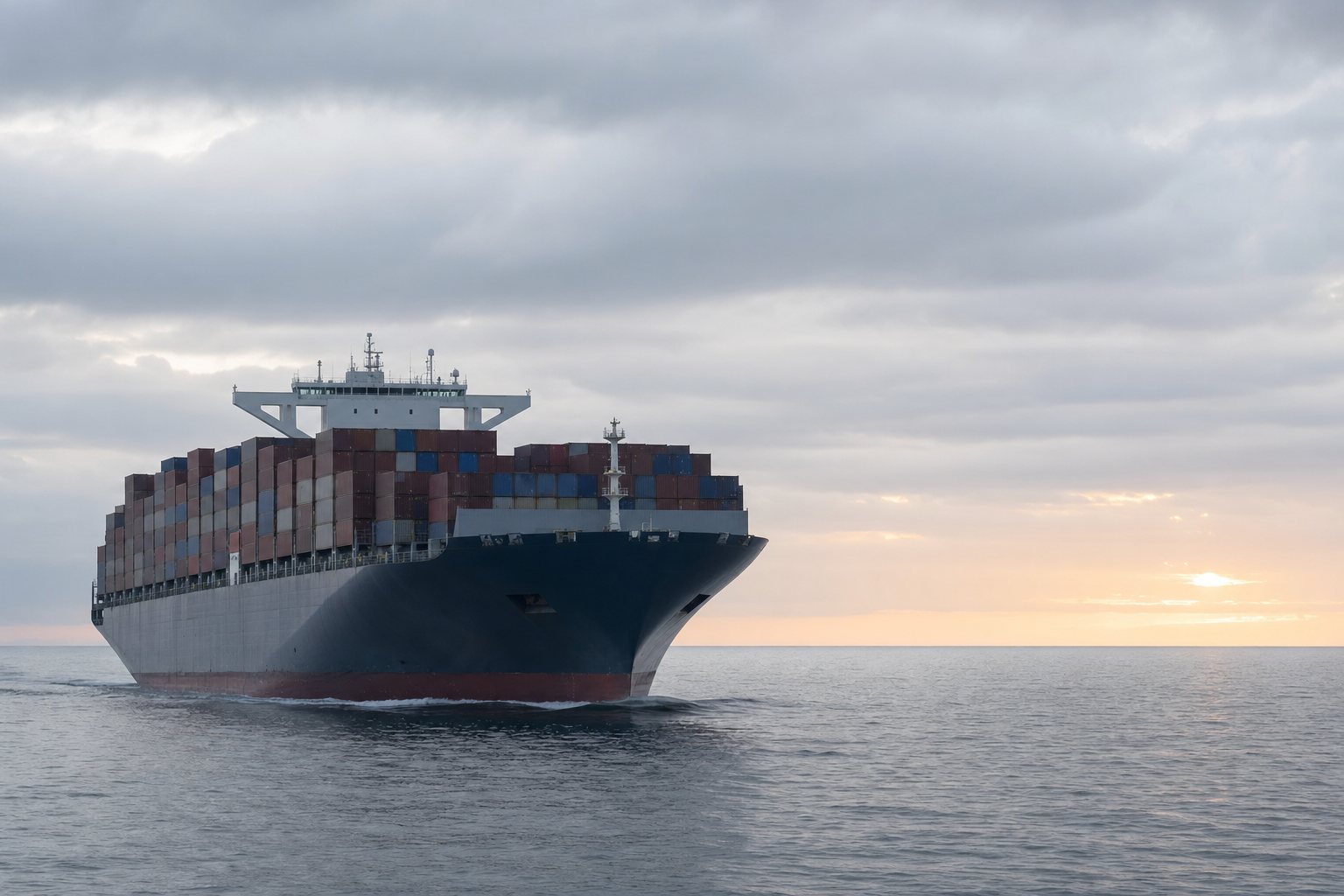
On 28 October 2026, three naval drones struck the container ship Contship Jet in the Black Sea, off Bulgaria, on its way from Haifa in Israel to Constanța in Romania. Its crew abandoned ship in life rafts, and the ship was left listing, with containers lost overboard.
Weeks earlier, drones had hit two other ships in Bulgaria's exclusive economic zone. Bulgaria's defence minister announced this attack at a meeting on Black Sea security; Bulgaria did not say who was responsible.
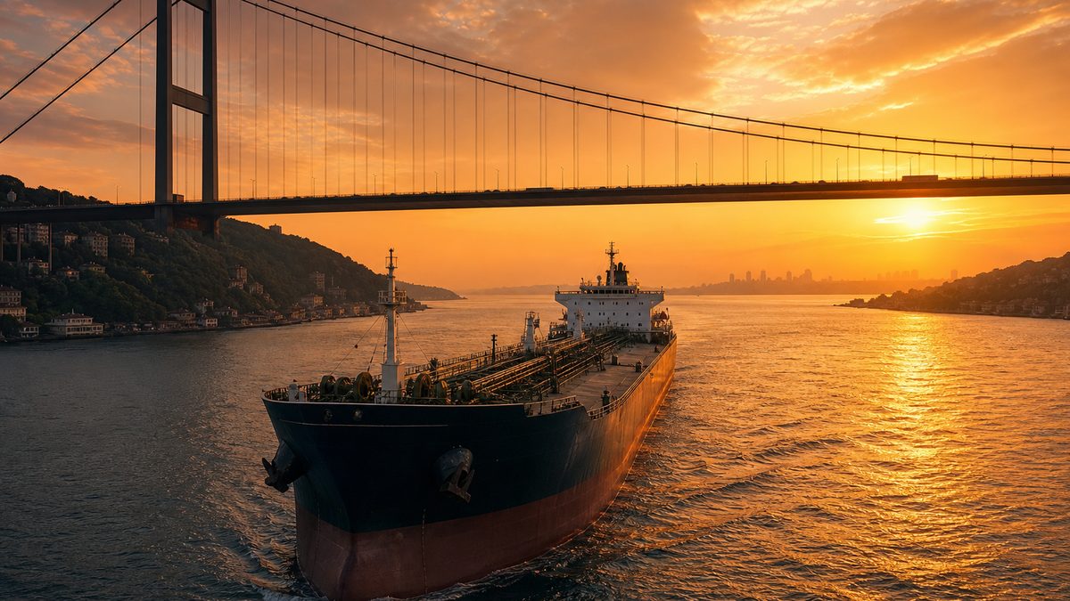
Every ship that sails into that sea from the oceans, whatever its cargo, comes through the same narrow door. This film is about that door: the Turkish Straits.
3
naval drones, according to Bulgaria’s defence minister
Haifa → Constanța
its route
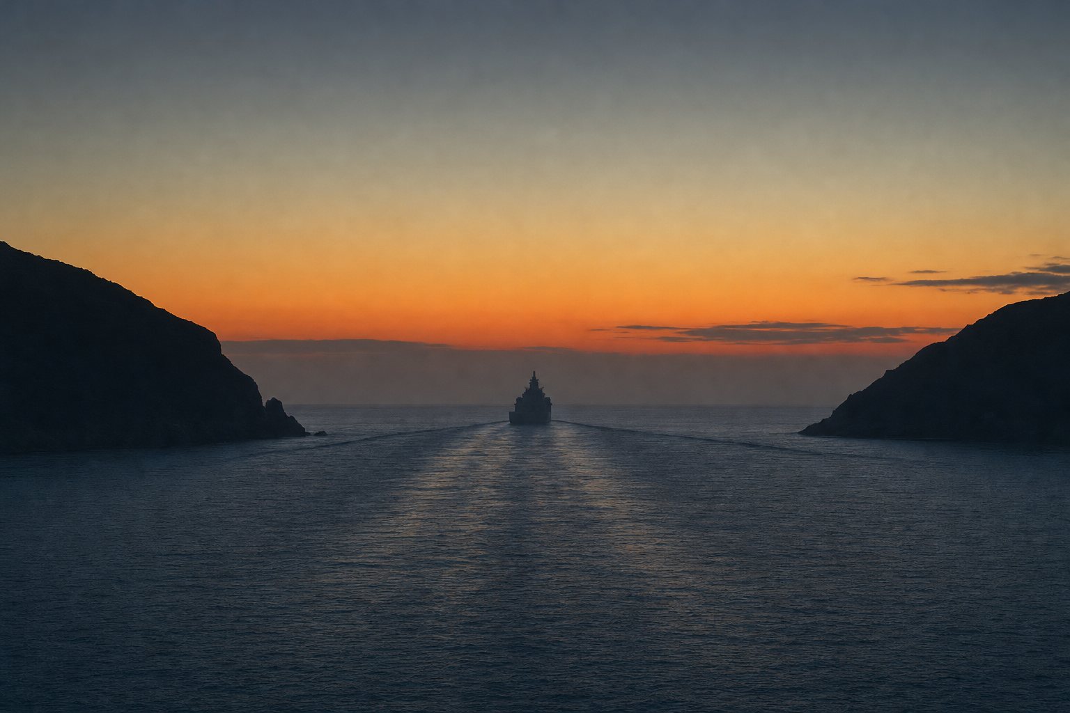
Contship JetOne door for a whole sea The Black Sea has no other outlet to the oceans: every ship in or out passes this way. AI-generated still.
6 Oct Two ships hit in Bulgaria’s zone; one sinks
28 Oct Contship Jet struck off Cape Kaliakra
28 Oct Bulgaria, Romania, Turkey agree a joint security mechanism
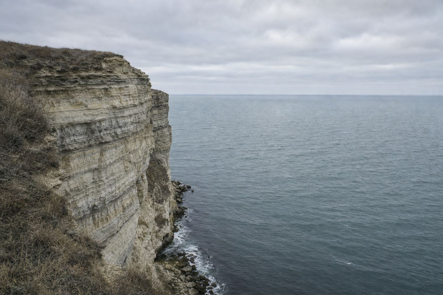
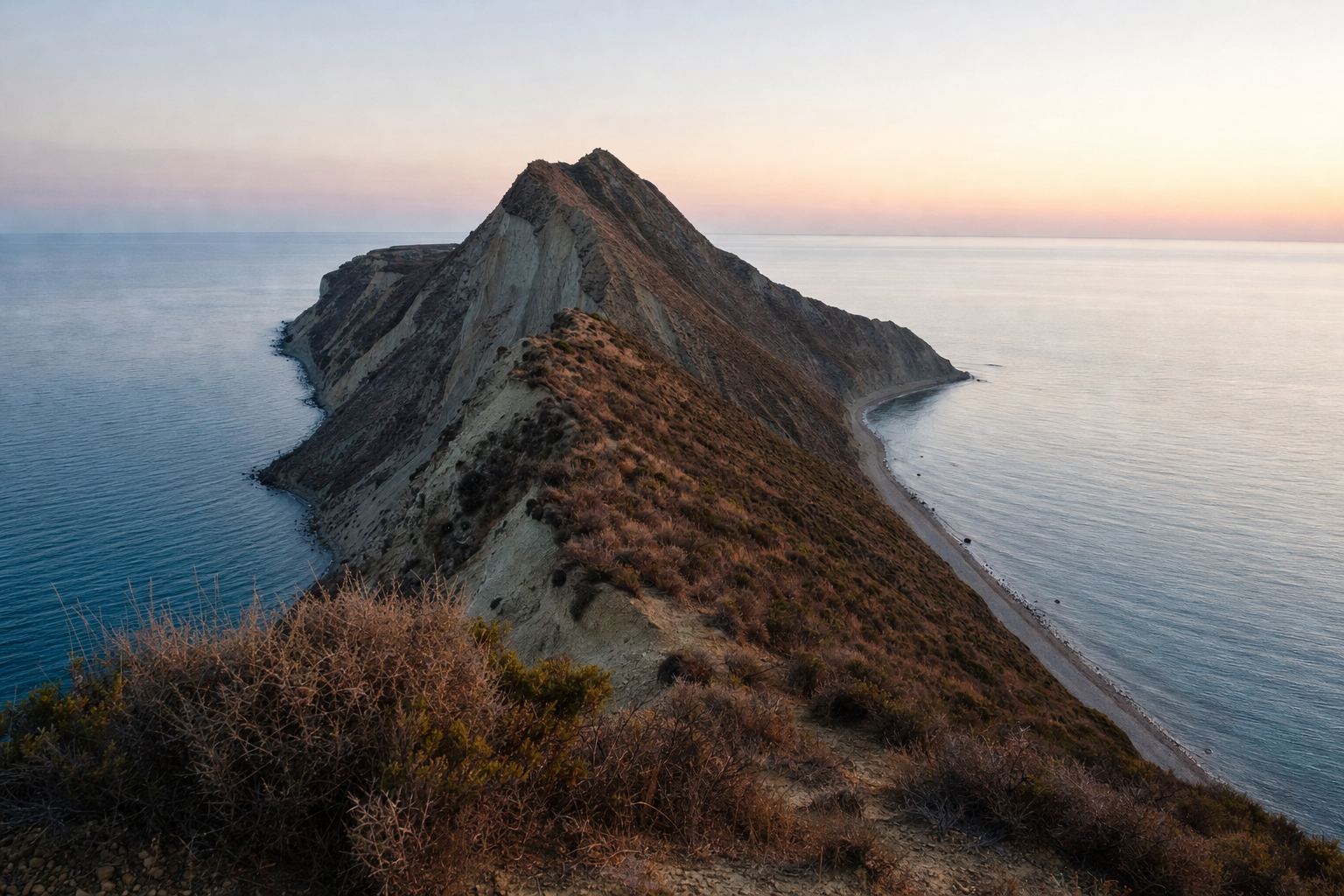
October 2026 in the Black SeaThe western shore Six countries touch the Black Sea: Turkey, Bulgaria, Romania, Ukraine, Russia and Georgia. AI-generated still.
A sea with only one way out
Two currents flowing opposite ways
Empires and wars at the straits
The Montreux rules for warships and trade
In this film
Prologue
Drones off Bulgaria
Sofia Globe, 28 October 2026: the Liberian-flagged container ship Contship Jet, sailing from Haifa to Constanța, was attacked about 16 nautical miles off Cape Kaliakra (21 miles from Shabla, according to Defence Minister Dimitar Stoyanov), by three drones according to Stoyanov; the crew took to life rafts and abandoned ship, and the vessel was listing. The article says it is widely believed that Russia is behind the attacks, while Bulgaria’s government is reluctant to assign blame. The 16-mile figure is Maritime.bg’s, as cited by Sofia Globe; Stoyanov and UNITED24 give about 21 miles. UNITED24: Stoyanov announced the attack while meeting his counterparts from Romania and Türkiye in Sofia; the three condemned drone attacks on commercial shipping and agreed a trilateral coordination mechanism. KSAT/AP, 6 October 2026: drones hit two vessels about 128 km off Bulgaria; the Alfa Watan sank and the Able caught fire. Ukraine’s President Zelenskyy blamed Russia; Russian officials had not commented, and Bulgarian authorities said the origin of the drones was under investigation.
Claims about who carried out attacks are reported as each party made them; this film does not assign blame.
The 3D map is a teaching model: coastlines are simplified and depths and widths are exaggerated so the straits can be seen.
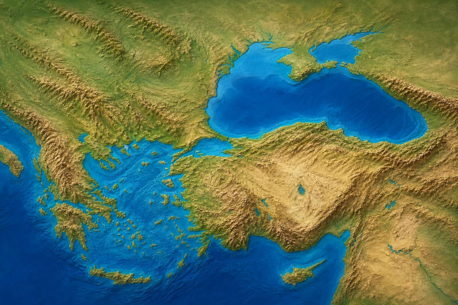
The Black Sea is almost closed. Its only link to the world's oceans is a chain: the Bosporus, the small Sea of Marmara, and the Dardanelles, which opens into the Aegean and the Mediterranean.
The Bosporus is up to thirty kilometres long and only seven hundred and fifty metres wide at its narrowest. The Dardanelles runs sixty-one kilometres, between just over one and six kilometres wide.
Both lie entirely inside Turkey, so one country holds both banks of the door. Sail a ship out of the Black Sea.
From the Black Sea to the Aegean Two narrow straits, with the Sea of Marmara between them. AI-generated still.Seven hundred and fifty metres Two fifteenth-century fortresses face each other across the narrows, built to close the water to the city between them. AI-generated still.
Bosporus: 0.75–3.7 km wide
~30
Dardanelles: 1.2–6 km wide
61
The two straits
65 m
Bosporus, on average (max 124 m)
55 m
Dardanelles, on average (max 103 m)
Depths
Bosporus: Istanbul on both shores
Dardanelles: the Gallipoli peninsula and Anatolia
One country, both banks
Chapter I · A sea with one door
The chain of straits
Wikipedia, Bosporus: up to 30 km long, 750 m wide at its narrowest and 3.7 km at its widest (the text gives 700 m and 3,420 m), with an average depth of 65 m and a maximum of 124 m; it links the Black Sea to the Sea of Marmara and forms part of the boundary between Europe and Asia. Wikipedia, Dardanelles: 61 km long and 1.2 to 6 km wide, averaging 55 m deep with a maximum of 103 m near Çanakkale; it links the Sea of Marmara with the Aegean Sea.
Try it: the ship follows the only route out, through both straits; the map is simplified and its widths exaggerated.
The 3D map is a teaching model: coastlines are simplified and depths and widths are exaggerated so the straits can be seen.
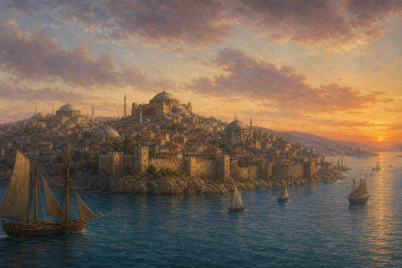
The Bosporus runs through the middle of a city. In 330, the Roman emperor Constantine refounded the Greek city of Byzantium here as Constantinople, and today Istanbul spreads over both banks, one in Europe and one in Asia.
The strait is part of the boundary between the two continents. Its Greek name was later explained as the cattle crossing, after a myth of Io, who crossed it as a cow.
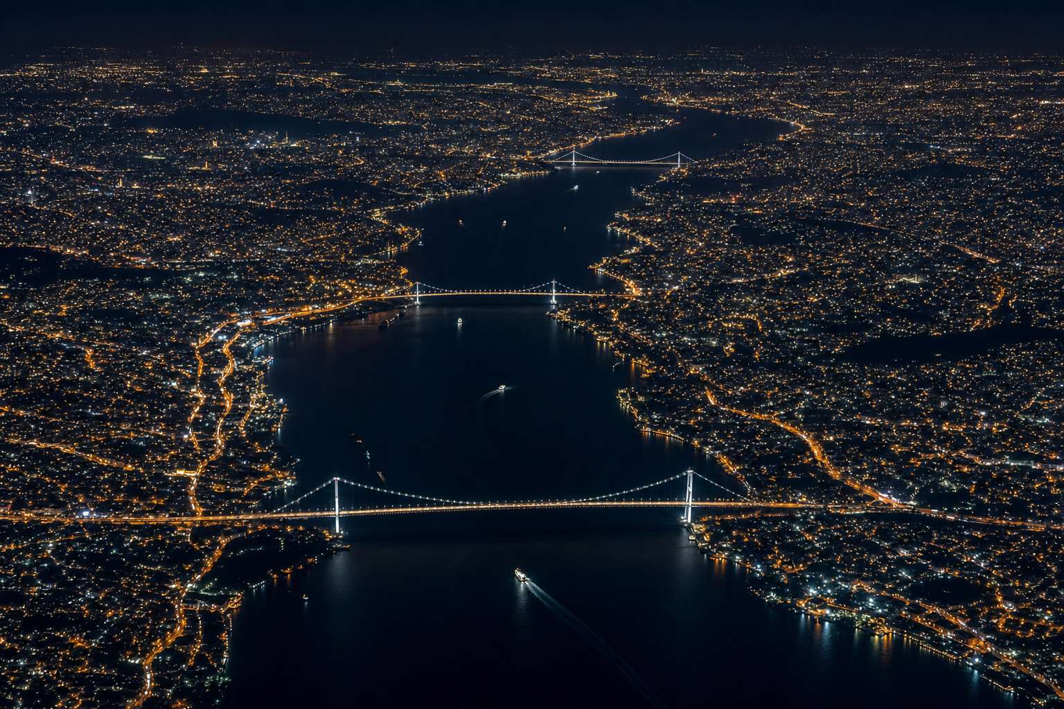
Three bridges and two tunnels now cross the Bosporus, and since 2022 a long suspension bridge spans the Dardanelles too. Yet the ships keep passing underneath.
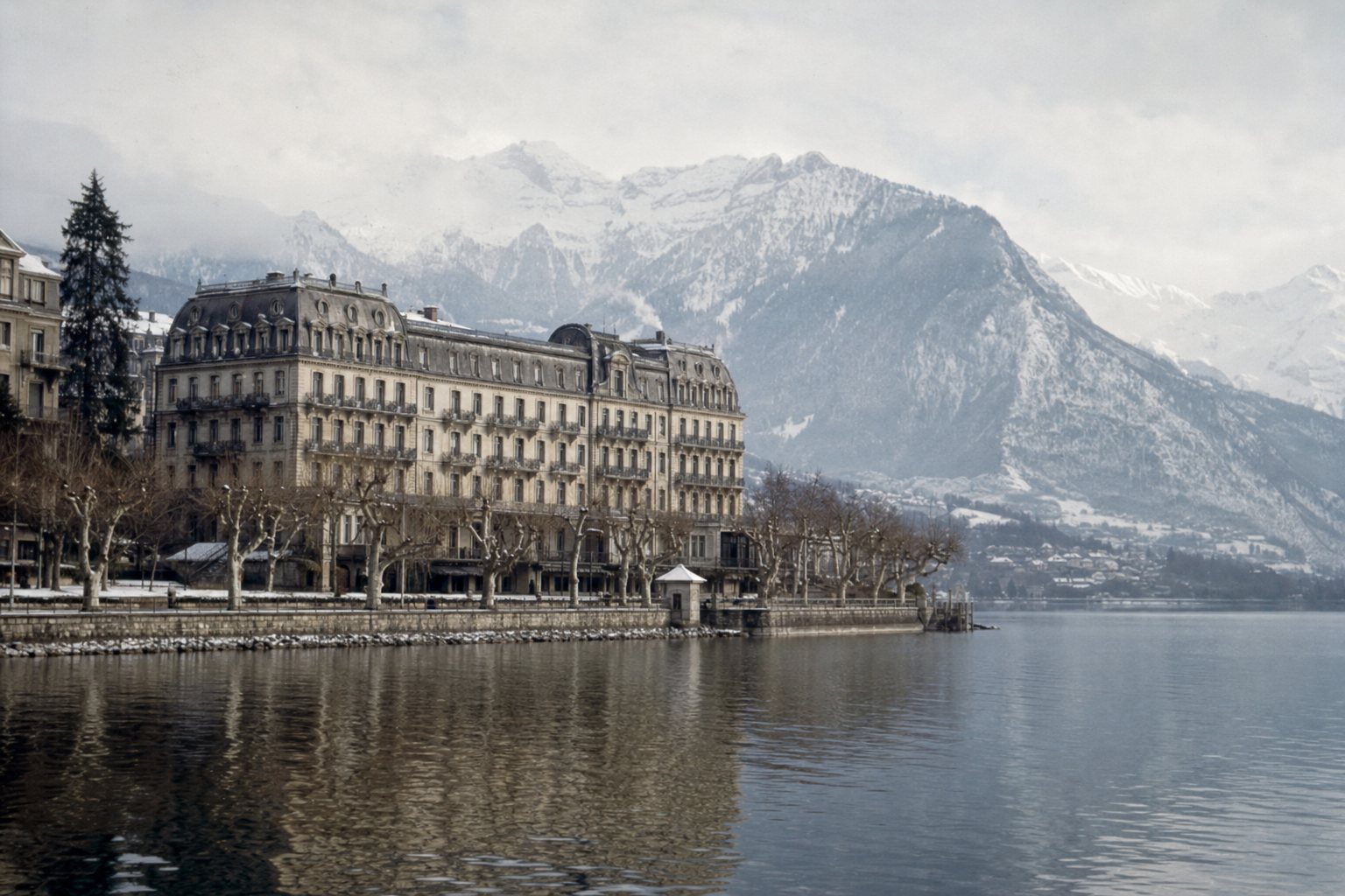
Constantinople A walled city on a peninsula beside the strait. AI-generated still.Europe on one side, Asia on the other Two tunnels also run under the strait: one carries trains, the other cars. AI-generated still.
1973 15 July Martyrs Bridge
1988 Fatih Sultan Mehmet Bridge
2016 Yavuz Sultan Selim Bridge
Mar 2022 Çanakkale 1915 Bridge, over the Dardanelles
Crossing the BosporusA bridge between continents Ships still pass beneath every crossing. AI-generated still.
Chapter I · A sea with one door
A city on a strait
Wikipedia, Bosporus: Constantine the Great founded Constantinople on the strait in AD 330; Istanbul lies on both banks. Three bridges (the 15 July Martyrs Bridge of 1973, the Fatih Sultan Mehmet Bridge of 1988 and the Yavuz Sultan Selim Bridge of 2016), one undersea road tunnel and one railway tunnel connect the banks. Wikipedia, Dardanelles: the Çanakkale 1915 Bridge opened in March 2022, joining Lapseki on the Asian side with Sütlüce on the European side.
The 3D map is a teaching model: coastlines are simplified and depths and widths are exaggerated so the straits can be seen.
The water in the Bosporus moves two ways at once. At the surface, fresher water from the Black Sea flows south, about sixteen thousand cubic metres every second.
Underneath, saltier, heavier water from the Mediterranean side creeps north along the bottom, about eleven thousand cubic metres a second. Two rivers, stacked on top of each other, flowing in opposite directions.
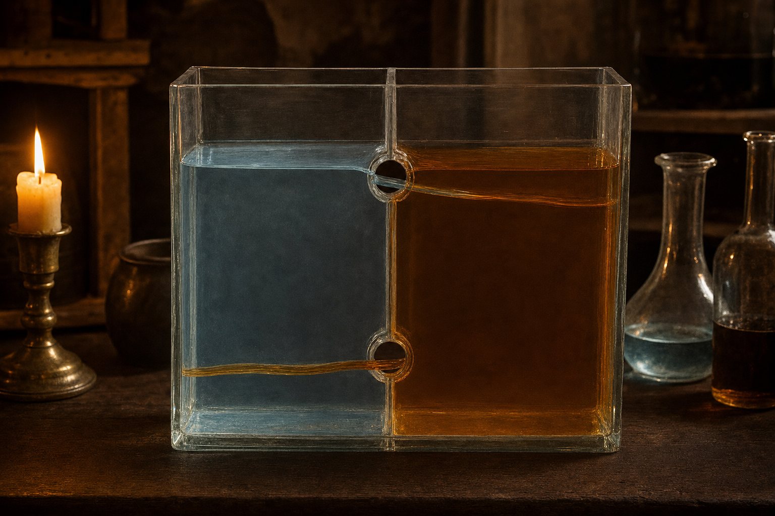
In 1680, the Italian scientist Luigi Ferdinando Marsigli explained it with a box of two waters of different density joined by two holes. The heavy water ran out at the bottom, the light water at the top. Compare his box with the strait.
Surface, southward (fresher)
~16,000
Bottom, northward (saltier)
~11,000
Flow through the Bosporus
Salty water is denser, so it sinks
Fresher water floats on top
The difference drives both currents
Why two layers
1681
his book on the Bosporus published, a year after his study
Marsigli, 1680Two waters, two holes Density does the work, not wind: so many rivers empty into the Black Sea that its water is the fresher of the two. AI-generated still.
Chapter II · Two rivers in one
A strait with two currents
Wikipedia, Bosporus: fresher water flows south at the surface at about 16,000 m³/s, while saltier water flows north near the bottom at about 11,000 m³/s. The Oceanography Society: Luigi Ferdinando Marsigli studied the Bosporus currents in 1680 and published in 1681; he built a two-compartment box joined by openings at top and bottom, and water of different densities flowed in opposite directions, which he took as the cause of the strait’s currents.
Try it: “Marsigli’s box” shows his experiment; “the strait” shows the same two layers along the Bosporus. Not to scale.
The 3D map is a teaching model: coastlines are simplified and depths and widths are exaggerated so the straits can be seen.
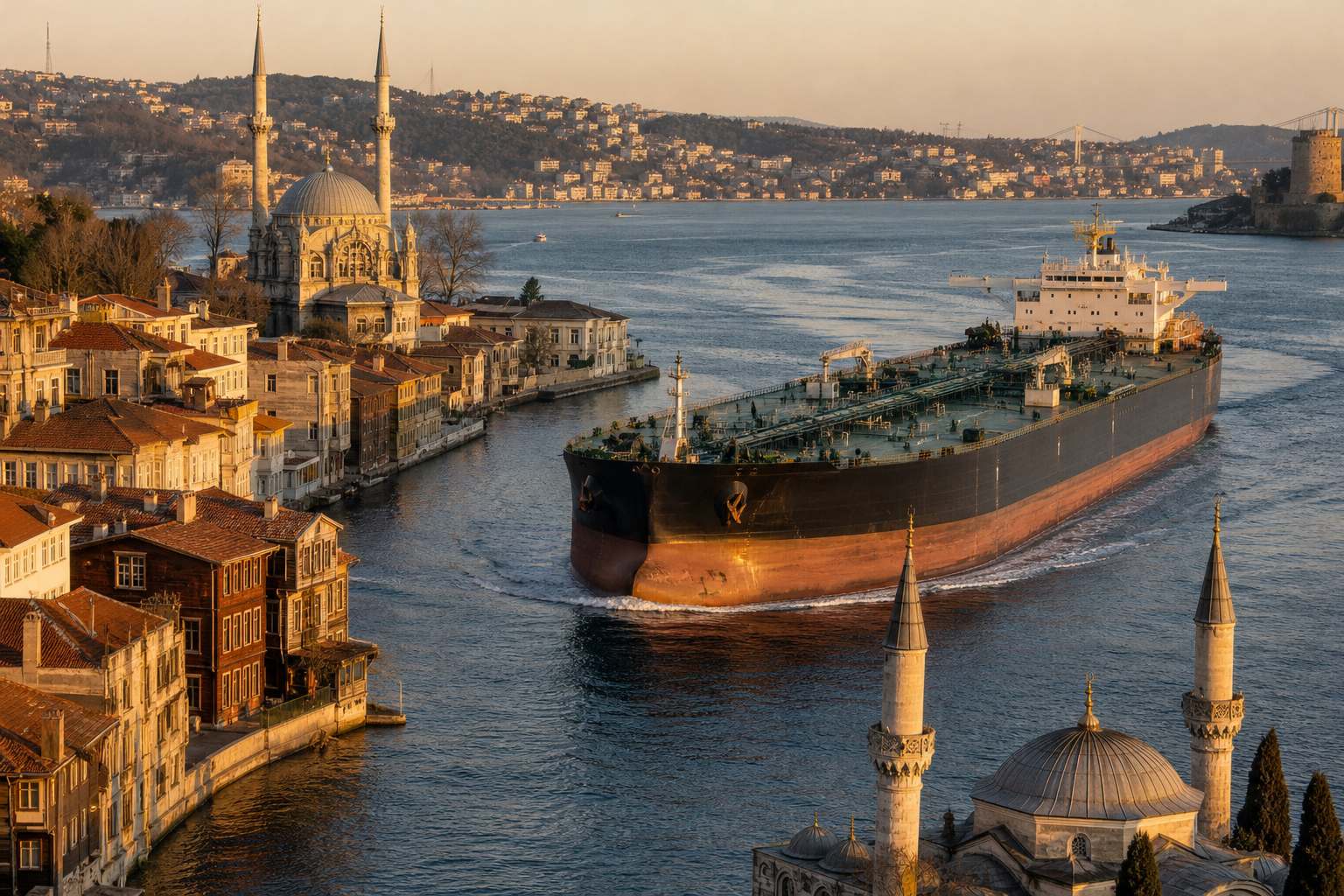
Those currents make the Bosporus hard to sail. In places ships must swing through forty-five degrees against a current of up to eight knots, about fifteen kilometres an hour, and at one bend through eighty degrees, with the view ahead blocked.
Still, the traffic is enormous. In 2024, 41,363 vessels passed through the Bosporus, more than a hundred a day, including over nine thousand tankers. Only thirty-two were warships.
A sharp bend A tanker turns between waterfront houses. AI-generated still.
45°
Kandilli to Aşiyan, currents of 7–8 knots (about 13–15 km/h)
80°
at Yeniköy, with the view blocked
The hardest turns
General cargo
15,490
Bulk carriers
8,777
Tankers (incl. 2,910 chemical)
9,143
Container ships
3,533
Through the Bosporus in 2024
41,363
about 113 a day
All vessels, 2024
Chapter II · Two rivers in one
Busy and dangerous
Wikipedia, Bosporus: between Kandilli Point and Aşiyan ships must alter course by 45 degrees where currents can reach 7 to 8 knots; at Yeniköy the alteration is 80 degrees and sight lines are blocked. Hürriyet Daily News: 41,363 vessels passed through the Bosporus in 2024, including 6,233 tankers and 2,910 chemical tankers, 15,490 general cargo ships, 8,777 bulk carriers and 3,533 container ships. 41,363 ÷ 366 ≈ 113 a day.
The 3D map is a teaching model: coastlines are simplified and depths and widths are exaggerated so the straits can be seen.
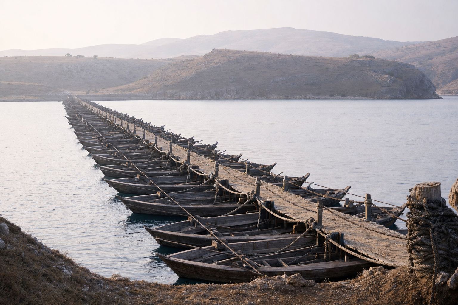
A strait is both a road for ships and a crossing for armies. The Greeks called the Dardanelles the Hellespont, and according to Herodotus, the Persian king Xerxes bridged it with boats to march his army into Europe in 480 BC. A storm wrecked his first bridges, and they had to be built again.
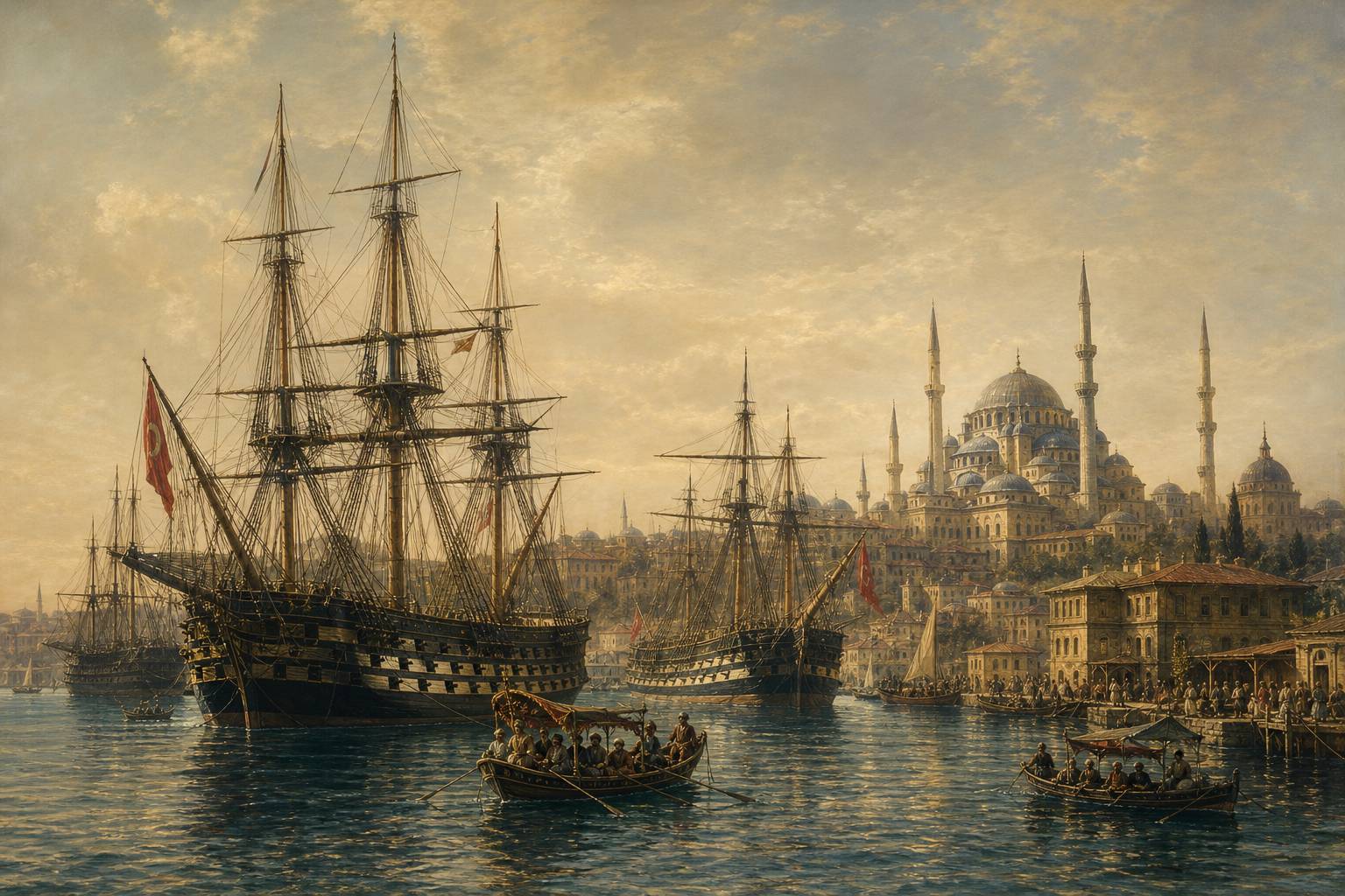
Over the centuries, Rome and its eastern heir, the Byzantine Empire, ruled the straits from Constantinople. On 29 May 1453 the Ottoman sultan Mehmed the Second captured the city and made it his capital. Whoever held the banks could open the door, or close it.
~482 BC
two pontoon bridges built at Abydos
480 BC
the army crosses
Xerxes at the Hellespont
Hellespontos
“Sea of Helle”, from the Golden Fleece myth
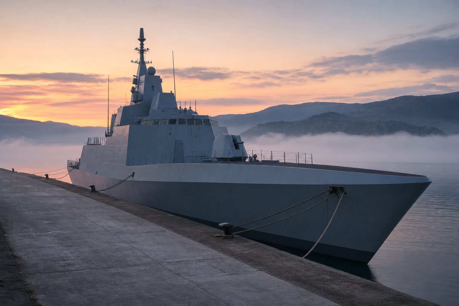
The ancient nameAn imperial waterway Warships at anchor beside an Ottoman city, in the style of a 19th-century painting. AI-generated still.A bridge made of boats Herodotus writes that when a storm broke the first bridges, Xerxes had the water itself whipped. AI-generated still.
Chapter III · Empires at the door
The Hellespont
Wikipedia, Dardanelles: the ancient Greek name Hellespontos means “Sea of Helle”, after Helle, who drowned there in the Golden Fleece myth. Herodotus says Xerxes I had two pontoon bridges built at Abydos around 482 BC; a storm destroyed them, and the army crossed in 480 BC. Wikipedia, Bosporus: Constantinople, founded in AD 330, stood on the Bosporus. Wikipedia, Fall of Constantinople: the Ottoman Empire captured the city on 29 May 1453 under Sultan Mehmed II, effectively ending the Byzantine Empire, and Mehmed made it the Ottoman capital. The idea that holding the banks lets a power open or close the straits is a summary of the history told in this chapter.
The 3D map is a teaching model: coastlines are simplified and depths and widths are exaggerated so the straits can be seen.
In the First World War the Ottoman Empire mined the straits. In 1915 the Allies, led by Britain and France, tried to force them open at Gallipoli. Turkish troops pinned the Allied soldiers on the peninsula's coasts, and after eight months of fighting, the British government ordered a withdrawal.
After the war the Ottoman Empire gave way to the Republic of Turkey, and the Treaty of Lausanne of 1923 demilitarised the Dardanelles, so no forts could guard them, and put the straits under an International Straits Commission of the League of Nations. Compare an open door with a supervised one.
8 months
of fighting, 1915
Dec 1915
withdrawal ordered by the British cabinet
The Gallipoli campaignThe Gallipoli peninsula The Dardanelles run about sixty-one kilometres and narrow to roughly one and a quarter at the tightest point. AI-generated still.
The Dardanelles demilitarised
An International Straits Commission
Under the League of Nations
Treaty of Lausanne, 1923
1936
a new treaty replaces the commission
Thirteen years later
Chapter III · Empires at the door
From Gallipoli to Lausanne
Wikipedia, Dardanelles: in 1915 Allied forces attacked to open the straits; Turkish troops held them on the peninsula’s coasts, and the British cabinet ordered a withdrawal in December 1915 after eight months of fighting. Wikipedia, Montreux Convention: the Treaty of Lausanne (1923) demilitarised the Dardanelles and placed the straits under the League of Nations’ International Straits Commission; the 1936 Convention abolished the Commission. The Gallipoli campaign is told more fully in PlanetPast’s film on the Ottoman Empire.
Try it: “open” shows unarmed banks; “commission” adds the international supervisors of 1923. No battle is shown.
The 3D map is a teaching model: coastlines are simplified and depths and widths are exaggerated so the straits can be seen.
In 1936, in the Swiss town of Montreux, Turkey and nine other countries signed a new treaty. Turkey regained control of the straits, and the right to fortify them again. The international commission of 1923 was abolished.
For trade, the rule is simple. In peacetime, merchant ships of any flag have complete freedom of passage, by day and by night. That is why the Contship Jet, and tens of thousands of ships a year, can sail through.
20 Jul 1936
signed
9 Nov 1936
in force
10
signatory countries
The Montreux Convention
Turkey, Bulgaria, Romania, Greece, Yugoslavia
The Soviet Union, the United Kingdom, France
Australia, Japan
Signed by
Complete freedom of transit and navigation in the Straits, by day and by night, under any flag.Montreux Convention, Article 2, for merchant ships in peacetime
Montreux, 1936 The convention was written with no expiry date, though any party may give notice that it wants the text revised. AI-generated still.
Chapter IV · The rules of 1936
Montreux, 1936
Wikipedia, Montreux Convention: signed at Montreux on 20 July 1936 and in force from 9 November 1936, by Australia, Bulgaria, France, Greece, Japan, Romania, Yugoslavia, Turkey, the United Kingdom and the Soviet Union. Turkey regained military control of the straits and could refortify the Dardanelles. Article 2 gives merchant ships in peacetime “complete freedom of transit and navigation in the Straits, by day and by night, under any flag” (treaty text).
The 3D map is a teaching model: coastlines are simplified and depths and widths are exaggerated so the straits can be seen.
Warships are another matter. A foreign navy must warn Turkey before sending one through: eight days ahead for Black Sea countries, fifteen for everyone else. No more than nine foreign warships may be in transit at once.
Navies from outside the Black Sea face tighter limits: no more than forty-five thousand tons of their warships in the Black Sea at any time, and a stay of no more than twenty-one days.
Only Black Sea countries may send their largest warships through. The treaty never names aircraft carriers, but Turkey reads it as excluding them, and modern carriers are far too heavy anyway. So the treaty favours the countries that border the Black Sea. Send a warship from each side and see the rules applied.
8 days
Black Sea states
15 days
all others
9
foreign warships in transit at once, at most
Notice to Turkey
All such navies together
45,000
Any one country
30,000
Largest single ship in transit
10,000
Non-Black Sea navies in the Black Sea
21 days
longest stay for outside navies
Time limit
Capital ships of any tonnage, with escorts
Submarines, with notice, if built or repaired abroad
Only for Black Sea states
not named
in the 1936 text: a Turkish reading, not an explicit ban
Aircraft carriers
Chapter IV · The rules of 1936
Warships under Montreux
Wikipedia, Montreux Convention: the normal notice for a warship transit is 8 days, and the treaty says 15 days is desirable for non-Black Sea powers; up to 9 foreign warships may be in transit at once, with an aggregate of 15,000 tons, and no single ship over 10,000 tons may pass. The treaty text sets an aggregate of 30,000 tons for warships of non-Black Sea powers in the Black Sea, which may rise to at most 45,000 tons in some circumstances; Wikipedia reads this as no single nation above 30,000 tons. They and may stay at most 21 days. Only Black Sea states may transit capital ships of any tonnage, escorted by up to two destroyers, and may send submarines with prior notice if they were built, bought or repaired outside the Black Sea. The treaty has no explicit ban on aircraft carriers; Turkey cites it as prohibiting them. The “tilt” towards littoral states is this film’s summary of those rules.
Try it: the readout applies the notice, tonnage and time rules to a warship from a Black Sea state and from outside.
The 3D map is a teaching model: coastlines are simplified and depths and widths are exaggerated so the straits can be seen.
The treaty also covers war. If Turkey is not at war itself, warships of the countries fighting may not pass, except to return to their home bases.
After Russia invaded Ukraine, Turkey called it a war on 27 February 2022. That word switched on the wartime rule, and Turkey closed the straits to warships. Its foreign minister said ships returning to bases in the Black Sea could still pass.
Turkey turned back Russian warships that February and again that October, and in January 2024 also refused two minehunters that Britain had given to Ukraine: the rule applies to both sides. Try a warship heading home, and one heading in.
Warships of the warring sides may not pass
Except to return to their home bases
If Turkey itself is at war or threatened: its own decision
If Turkey is not at war
If the warship is returning to its base in the Black Sea, the passage is not closed.Turkish Foreign Minister Mevlüt Çavuşoğlu, February 2022
Heading out, heading home Turkey decides for itself when the wartime article applies; no other party can switch it on. AI-generated still.
27 Feb 2022 Turkey calls the invasion a war
Feb 2022 Three of four Russian warships refused
Oct 2022 Two more Russian warships refused
2 Jan 2024 Two minehunters for Ukraine refused
Applying the wartime ruleBack at its own base Submarines of states outside the Black Sea may not pass through at all under the convention. AI-generated still.
Chapter V · War and the straits
Montreux in wartime
Wikipedia, Montreux Convention: when Turkey is not a belligerent, warships of belligerent powers may not pass except to return to their base; when Turkey is at war or threatened, it may decide on warship passage as it sees fit. After Russia’s invasion of Ukraine, Turkey called it a “war” on 27 February 2022; around 27–28 February it refused three of four Russian warships, in October 2022 it refused the Varyag and Admiral Tributs, and on 2 January 2024 it refused two British-donated minehunters bound for Ukraine. USNI News: Foreign Minister Mevlüt Çavuşoğlu said, “If the warship is returning to its base in the Black Sea, the passage is not closed”, and that Turkey could restrict warships of warring states while not itself a belligerent.
Try it: a warship heading home is let through; one heading into the Black Sea is stopped. Ships are generic.
Claims about who carried out attacks are reported as each party made them; this film does not assign blame.
The 3D map is a teaching model: coastlines are simplified and depths and widths are exaggerated so the straits can be seen.
Merchant ships are treated differently. Under the treaty they kept passing the straits, and that trade is what made the Black Sea's shipping lanes so busy, and so exposed.
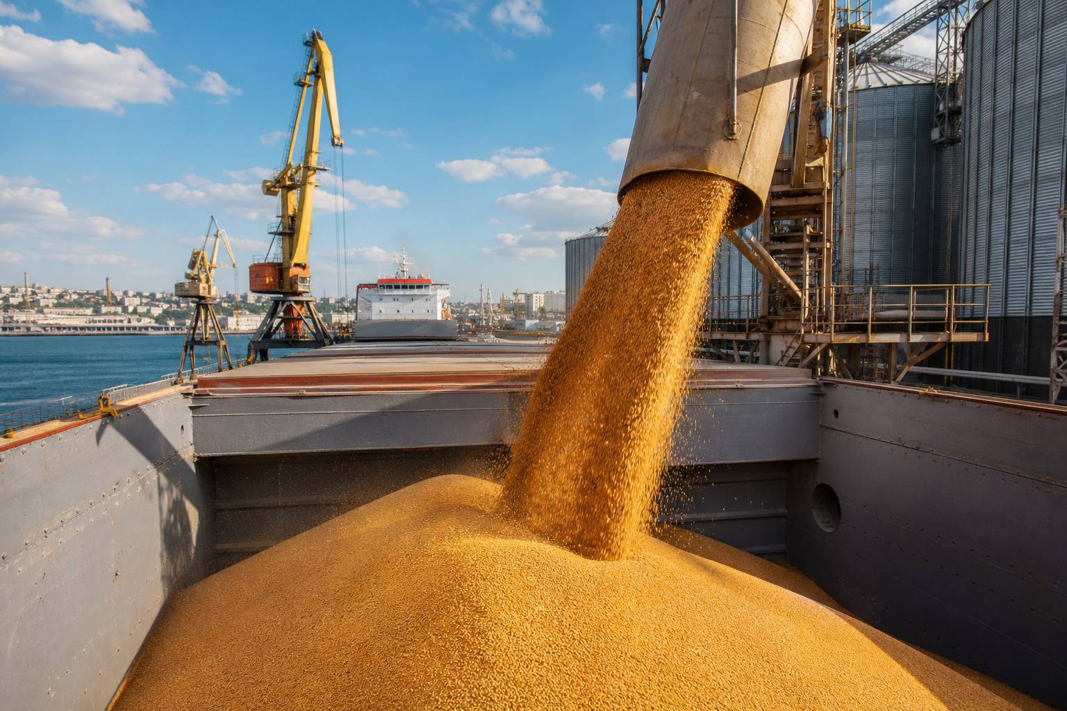
But the treaty governs the straits, not the open sea beyond them. The ships attacked this October were out at sea, beyond the straits. On 6 October one of them sank, and two sailors were flown to hospital; another, carrying wheat, caught fire. Bulgaria's prime minister said such attacks disrupt shipping and raise insurance costs.
A Black Sea port Grain pours into a bulk carrier. AI-generated still.
Passage through the Bosporus and Dardanelles
Warships’ numbers, tonnage and stays
Not: what happens out at sea
What Montreux covers, and what it does not
~128 km
6 October attacks
~16 nmi
Contship Jet, 28 October
Distance from shore
3
countries in a new Black Sea security mechanism: Bulgaria, Romania, Turkey
After 28 October
Chapter V · War and the straits
Beyond the straits
Wikipedia, Montreux Convention: Article 2 guarantees merchant ships passage through the straits in peacetime, and the treaty’s warship clauses govern transit and stays. The convention regulates passage through the straits; incidents in the open Black Sea fall outside it. KSAT/AP, 6 October 2026: the two ships were hit about 128 km off Bulgaria; Prime Minister Rumen Radev said the attacks were disrupting Black Sea shipping, raising insurance costs and increasing the risk of wider conflict. Sofia Globe: the Contship Jet was about 16 nautical miles off Cape Kaliakra. UNITED24: Bulgaria, Romania and Türkiye agreed a trilateral coordination mechanism covering consultations, intelligence sharing, maritime surveillance and early warning.
Claims about who carried out attacks are reported as each party made them; this film does not assign blame.
The 3D map is a teaching model: coastlines are simplified and depths and widths are exaggerated so the straits can be seen.
Geography made the Turkish Straits a single narrow door, with two currents running through it in opposite directions. History made it a prize that empires fought over.
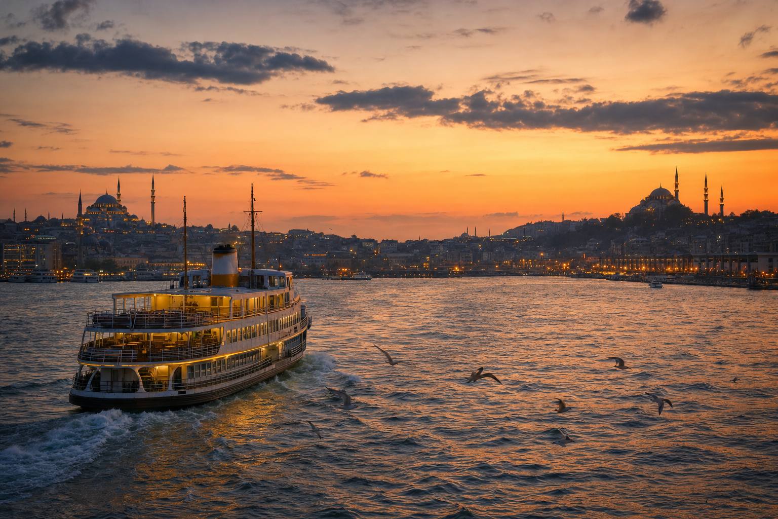
Since 1936, a short treaty has kept it open to trade and narrow for warships, even in wartime. Every ship that sails in from the oceans comes through it, under rules written in a Swiss town ninety years ago.
480 BC Xerxes crosses the Hellespont
AD 330 Constantinople founded
1680 Marsigli explains the two currents
1915 Gallipoli
1923 Lausanne: an international commission
1936 Montreux Convention
2022 Straits closed to warships
2026 Drone attacks on merchant ships at sea
The straits through timeThe door at night Under the convention, taking a Turkish pilot through the strait is offered, not required. AI-generated still.
90 years
since Montreux was signed
Still in force
2
straits: the Bosporus and the Dardanelles
1
treaty for both, and for the Sea of Marmara between
One door, two locks
Epilogue
Sources and notes
Every figure in this film comes from the sources below, which were read for it. Claims about who carried out the 2026 attacks are reported as each party made them; the film does not assign responsibility. The 3D map is simplified and not to scale. All stills are AI-generated illustrations, not photographs of real ships, places or events.