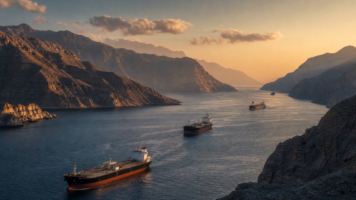
About twenty million barrels of oil a day used to sail through one narrow strait between Iran and Oman. This film explains why: how a collision of continents filled the Gulf with oil, how a medieval island kingdom and then Portugal taxed the same gap, how the Tanker War of the 1980s turned it into a battlefield, what the law of the sea says about passing through, and why closing it moves prices from Tokyo to Bangkok. Fold the rock, measure the gap, and close the valve yourself.
Interactive 3D film10 min1507 to 2026Published 15 October 2026
Why one strait matters to every fuel pump on Earth.
Find the narrowest point between Iran and the Arabian Peninsula. Here the sea pinches to thirty-nine kilometres, and in 2024 about twenty million barrels of oil a day squeezed through it.
That was about a fifth of all the oil the world used. Since the war that began with American and Israeli strikes on Iran at the end of February 2026, ships here have been warned off, mined, seized and attacked.
Why does so much oil sit behind one gap, who has tried to hold it, and why is closing it felt at every fuel pump on Earth?
20 million
barrels of oil a day
≈ 20%
of world petroleum use
Through Hormuz in 2024
28 Feb US and Israeli strikes on Iran
4 Mar Iran declares the strait closed
Apr–Oct truces, blockades, renewed attacks
2026
~200–66 Myr ago its source rocks form
1507 Portugal arrives
1908 first oil in Persia
1981–88 the Tanker War
2026 the strait contested
This film
Prologue · Why this strait
The world's oil valve
In 2024 about 20 million barrels a day of oil passed through the Strait of Hormuz, roughly a fifth of global petroleum consumption, according to the US Energy Information Administration.
The 2026 crisis began after US and Israeli strikes on Iran on 28 February 2026; Iran declared the strait closed in early March. This film explains the background, not the day-to-day news.
How to use: pick a chapter or press ← → · ▶ plays the step · drag to rotate · four steps have buttons you can press.
The Gulf is a shallow sea about a thousand kilometres long. Iran, Iraq, Kuwait, Saudi Arabia, Bahrain, Qatar, the United Arab Emirates and Oman all touch its waters.
Iran calls it the Persian Gulf; Arab states call it the Arabian Gulf.
It has only one door to the open ocean: the Strait of Hormuz. On the north side lie Iran's coast and its islands, Hormuz, Qeshm and Larak. On the south, Oman's Musandam peninsula pushes north like a rocky fist.
~990 km
long
8
countries on its shores
1
exit to the ocean
The Gulf
Persian Gulf
the name used by Iran
Arabian Gulf
the name used by Arab states
One sea, two names
Hormuz · Qeshm · Larak
on the northern side of the strait
Iran's islands at the door
North: Iran, with the islands of Hormuz, Qeshm and Larak
South: Oman's Musandam peninsula
The two shores
Chapter I · Geography
One door to the ocean
Britannica describes the Gulf as a shallow marginal sea of the Indian Ocean, some 615 miles (about 990 km) long, between the Arabian Peninsula and southwestern Iran. It is also called the Arabian Gulf.
Petroleum geologist Scott Montgomery notes that the Gulf formed roughly 14,000 to 6,000 years ago, after the last ice age. The map in this film is drawn from Natural Earth coastlines; its mountain relief is schematic.
Thirty-nine kilometres is not as wide as it sounds.
At the narrowest point, between Iran's Larak island and Oman's Great Quoin island, the gap is about thirty-nine kilometres. That sounds roomy. For a fully loaded supertanker, it is not.
Big ships keep to a fixed route called a traffic separation scheme: one lane in, one lane out, each two nautical miles wide, about three point seven kilometres, with a buffer of the same width between them.
Those lanes lie in Omani waters. Every tanker leaving the Gulf funnels into the one outbound lane, so a single mine, or a single burning ship, can stop the whole queue.
39 km
Larak to Great Quoin
21 nmi
the same gap in nautical miles
At the narrowest
Inbound lane: 2 nmi (3.7 km)
Buffer zone: 2 nmi
Outbound lane: 2 nmi (3.7 km)
The traffic separation scheme
≈ 11 km
the whole scheme, out of a 39 km gap
Lane, buffer, lane
1
outbound lane for every loaded tanker leaving the Gulf
One lane out
Chapter I · Geography
Two lanes
The strait is about 167 km long and narrows to 21 nautical miles (39 km) between Larak Island (Iran) and Great Quoin Island (Oman), measured island to island; the mainland coasts are farther apart.
Inbound and outbound lanes are each 2 nmi wide with a 2 nmi median, inside Omani territorial waters. The lanes on the map are drawn schematically. Press Show the lanes and Measure the gap.
Why is so much oil waiting behind this door? Go back to the age of the dinosaurs, when a warm ocean called the Tethys covered this region.
Its sunlit water teemed with plankton. When they died they sank into the mud, and layer after layer of sediment buried them.
Buried deep, heated and squeezed, that organic mud slowly cooked into oil and gas. Rock with just two percent organic matter counts as a good source; some layers around the Gulf hold up to thirteen.
That is good source rock, but a Norwegian geologist points out it is no better than elsewhere. What made the Gulf special is what happened next.
Plankton live and die in sunlit water
They sink and are buried in mud
Deep burial heats and squeezes the mud
Over millions of years: oil and gas
From plankton to oil
'Good' threshold
2%
Richest Gulf source layers
13%
Organic matter in source rock
The source rock itself is not actually any better down there.Dag Arild Karlsen, geologist, University of Oslo
Chapter II · Deep time
An ocean of plankton
Oil and gas form from organic material such as plankton buried in shales and mud-rich limestones. Key Gulf source rocks are Jurassic (about 200–145 million years old, e.g. the Hanifa and Tuwaiq formations in Arabia) and Cretaceous (about 145–66 million years, e.g. the Kazhdumi formation in Iran).
Montgomery: rocks with at least 2% organic material are considered high quality; these hold 1% to 13%. Karlsen (University of Oslo) traces the organic matter to Tethys Ocean plankton.
Two plates collide, and the rock folds into giant traps.
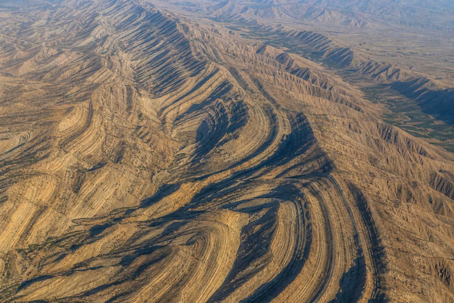
The Arabian plate has been pushing north into Eurasia for tens of millions of years, and it still is. The collision crumpled the rock into the Zagros Mountains of Iran.
Seen from above, the Zagros are long parallel ripples, and those ripples run on under the Gulf and into Arabia as broad domes.
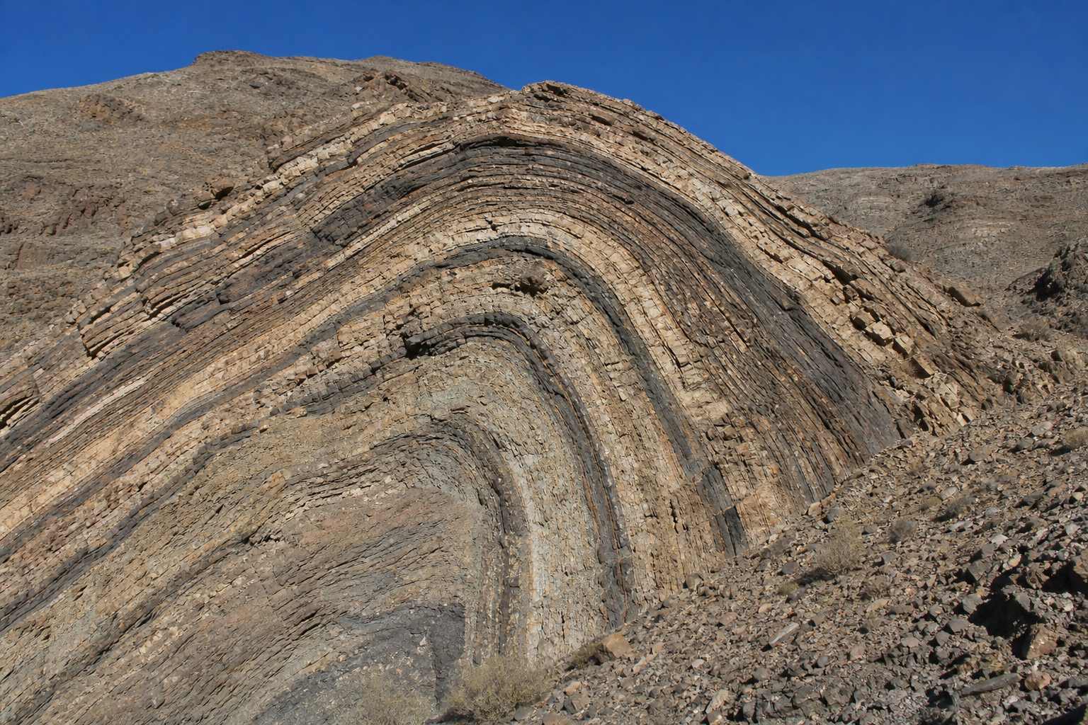
Each upward arch is an anticline. Oil is lighter than water, so it creeps up through porous rock until it is caught beneath the crest, often sealed under a lid of salt.
The result: roughly half of the world's conventional oil reserves, and forty percent of its gas, lie beneath about three percent of Earth's land.
The Zagros Folded ridges of a collision belt, seen from the air (illustration).
Iran: tight folds of the Zagros
Under the Gulf: buried folds
Arabia: broad domes
One set of ripplesAn anticline Rock layers bent upward into an arch: the shape that traps oil (illustration).
~50%
of world conventional oil reserves
~40%
of world gas reserves
~3%
of Earth's land surface
Under the Gulf region
Chapter II · Deep time
The crumple zone
Montgomery puts the Arabia–Eurasia collision at about 35 million years; Karlsen dates the main push that raised the Zagros to about 25 million years ago. Both describe folds that carry on under the Gulf and into Saudi Arabia, forming giant traps.
Karlsen: the traps have few faults and are often sealed by salt, which flows under pressure and can partly reseal itself. Montgomery: more than 30 supergiant fields surround the Gulf. The cross-section here is a simplified model. Press Push the plates.
Long before oil, the strait was valuable for the same reason it is now: everything moving between the Gulf and the Indian Ocean has to pass through it.
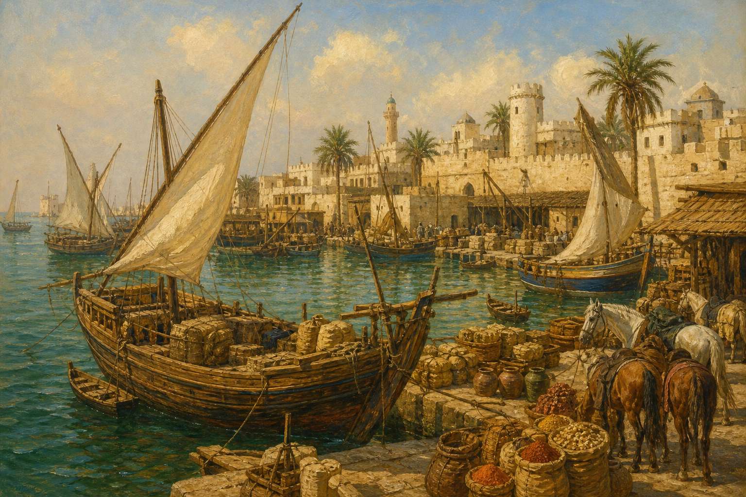
From around the eleventh century, a trading kingdom based on the small island of Hormuz charged a toll on the ships that came through.
The island was small. Its wealth came from position alone: it sat on the door.
A medieval port A Gulf island port around 1500, as imagined in a period-style painting (illustration).
~11th c. tolls on passing trade
1507 Portuguese fleet arrives
1622 the kingdom's role ends
The Kingdom of Hormuz
Tiny island at the strait's mouth
Rich from tolls and trade
A kingdom of position
Chapter III · Before oil
The toll gate
From about the 11th century the rulers of Hormuz levied a toll on commercial traffic through the strait. Its role as a toll-collecting port ended in 1622.
A European empire learns the value of a chokepoint.
In 1507 a Portuguese fleet under Afonso de Albuquerque attacked Hormuz, forced a treaty and began a fort. The first hold did not last, but by 1515 Portugal controlled the island.
Portugal kept the toll and tightened it with a licence called the cartaz, without which ships risked seizure. A Portuguese chronicler put the customs at around two hundred thousand cruzados a year.
In 1622 a combined Persian and English force took the island. Trade moved to the mainland port of Bandar Abbas, and the kingdom faded. The strait kept its name.
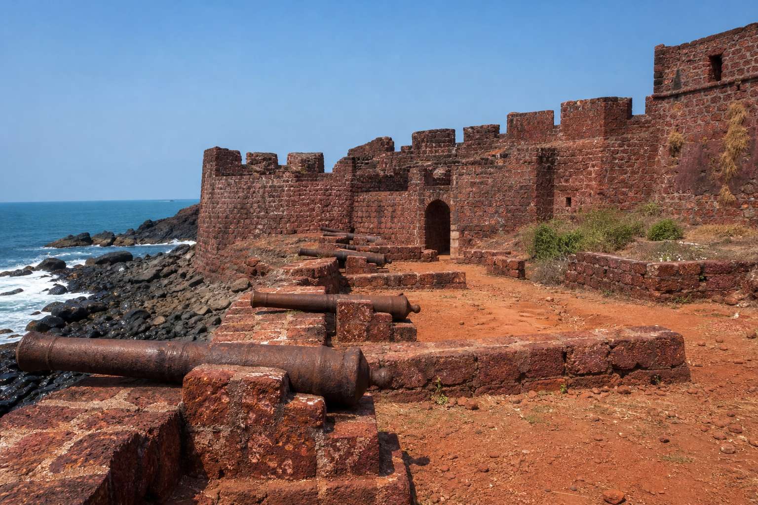
A Portuguese fort Ruins of a 16th-century sea fort on red island soil (illustration).
~200,000
cruzados a year in customs (a Portuguese estimate for the 1520s; other accounts are lower)
The cartaz system
Sep 1507 Albuquerque attacks, treaty, fort begun
Feb 1508 the Portuguese withdraw
1515 they return and take control
1622 Persian–English force takes Hormuz
Hormuz under Portugal
Chapter III · Before oil
Portugal takes the gate
Albuquerque's fleet reached Hormuz on 25–26 September 1507; a treaty was signed on 10 October and a fort begun, but the Portuguese left in February 1508. They returned in 1515 and took the island without bloodshed on 1 April.
Portugal enforced the toll through the cartaz licence; the chronicler Barros gives about 200,000 cruzados of customs revenue for 1524, while Correia's estimate is lower. In 1622 the Safavids and the English East India Company expelled the Portuguese, and Gulf trade moved to Bandar Abbas.
For almost three centuries the strait was one trade route among many. Then, on the twenty-sixth of May 1908, drillers struck oil at Masjed Soleyman, in the Zagros foothills of Persia.
It was the region's first modern oil discovery, and it sat right on the folds we just watched form.
Within thirty years Iraq, Bahrain, Kuwait and Saudi Arabia had struck oil too.
For most of the fields around the Gulf, the cheapest way to the world's markets was by sea, and that sea has one exit.
26 May 1908
the region's first modern oil discovery
Masjed Soleyman, PersiaOn the folds The first wells were drilled into the same kind of folds that trap the oil (illustration).
26 May 1908 Masjed Soleyman, Persia
14 Oct 1927 Kirkuk, Iraq
1 Jun 1932 Bahrain
23 Feb 1938 Burgan, Kuwait
4 Mar 1938 Dammam, Saudi Arabia
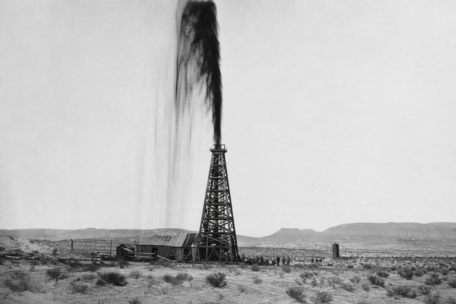
First oil around the GulfBoom years A gushing well in the desert, in the style of a 1930s photograph (illustration).
Chapter IV · 1908
Oil
The discovery well Masjid Sulaiman-1, drilled by William Knox D'Arcy's Concessions Syndicate, struck oil on 26 May 1908 in the southwest Zagros basin. GEO ExPro lists the later firsts: Kirkuk (14 Oct 1927), Bahrain (1 Jun 1932), Burgan (23 Feb 1938) and Dammam (4 Mar 1938).
Two countries at war try to choke each other's oil money.
The strait's modern danger first played out in the 1980s. Iran and Iraq went to war in September 1980, and each side tried to choke the other's oil income.
Iraq began attacking shipping in 1981. In 1984 it struck Iran's main oil terminal at Kharg Island, and Iran answered by attacking tankers serving Kuwait and other Gulf Arab states.
By the end, one widely cited count lists about four hundred and fifty attacks on ships: some two hundred and eighty by Iraq and one hundred and seventy by Iran. Well over a hundred sailors were killed.
Sep 1980 war begins
1981 Iraq starts attacking shipping
1984 attacks on tankers escalate
Aug 1988 the tanker attacks end
The Iran–Iraq War
Iraq: hit Iran's exports, including Kharg Island
Iran: hit tankers serving Kuwait and other Gulf Arab states
Two strategies, one sea
By Iraq
283 attacks (Wikipedia tally)
By Iran
168 attacks (Wikipedia tally)
Attacks on ships, 1981–1988
100+
sailors killed, and a similar number wounded
The human cost at sea
Chapter V · 1980s
The Tanker War
Iraq began attacking commercial shipping in 1981; in 1984 it attacked the oil terminal and tankers at Kharg Island, and Iran then attacked tankers serving Kuwait and other Gulf Arab states.
The Wikipedia article on the tanker war counts 283 attacks by Iraq and 168 by Iran, and, citing a 1988 US Naval Institute review, says well over 100 sailors were killed.
In 1987 Kuwaiti tankers were re-registered under the American flag, and the US Navy began escorting them, in what is often described as the largest naval convoy operation since the Second World War.
On the first day, in July 1987, the reflagged tanker Bridgeton struck a mine. Nobody was hurt, but mines became the weapon to fear.
In April 1988 a mine badly damaged the American frigate Samuel B. Roberts, and the United States struck Iranian targets in Operation Praying Mantis.
In July a US cruiser shot down Iran Air Flight 655, killing all two hundred and ninety people aboard. The US said its crew mistook the airliner for a fighter; Iran says it was shot down knowingly. The tanker attacks ended weeks later.
Jul 1987
first escorted convoy
Sep 1988
last escorted tanker
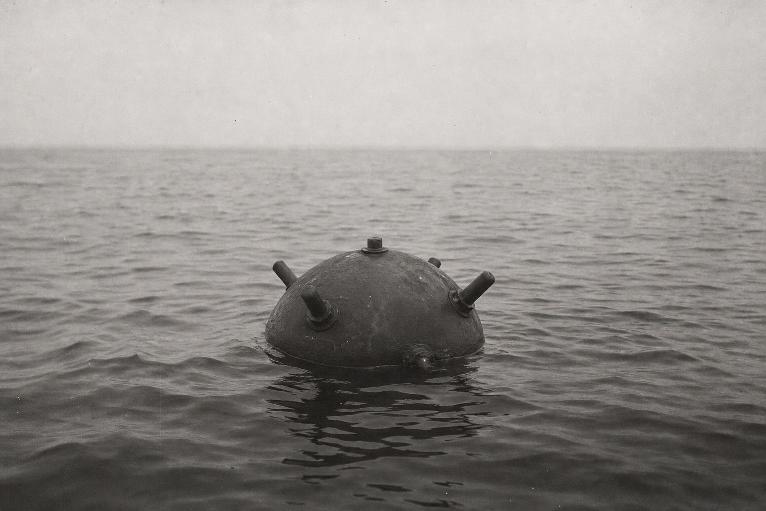
Operation Earnest WillThe weapon to fear A contact sea mine floating at the surface (illustration).
24 Jul 1987 Bridgeton hits a mine
14 Apr 1988 USS Samuel B. Roberts mined
18 Apr 1988 Operation Praying Mantis
3 Jul 1988 Iran Air 655 shot down, 290 killed
1987–1988
United States: the crew misidentified the Airbus as an attacking F-14
Iran: the airliner was shot down knowingly
All 290 people aboard were killed
Iran Air 655: two accounts
Chapter V · 1980s
Convoys and mines
Operation Earnest Will ran from July 1987 to 26 September 1988; Wikipedia describes it as the largest naval convoy operation since World War II. The reflagged MV Bridgeton struck a mine on 24 July 1987; USS Samuel B. Roberts hit one on 14 April 1988, and the US launched Operation Praying Mantis on 18 April.
On 3 July 1988 the guided-missile cruiser USS Vincennes shot down Iran Air Flight 655, an Airbus A300; all 290 aboard were killed. The US account is that the crew misidentified it as an attacking F-14; the Iranian government has maintained it was shot down knowingly. Press Run a convoy.
Of all the world's oil chokepoints, only the Strait of Malacca carries more.
Much of Hormuz's oil goes on through Malacca too. In 2024, eighty-four percent of the crude through Hormuz went to Asia, and China, India, Japan and South Korea took sixty-nine percent.
Most of it rides in very large crude carriers, ships about three hundred and eighty metres long that each hold about two million barrels. Twenty million barrels a day is the cargo of about ten of them, every day.
It is not only oil. About a fifth of the world's liquefied natural gas trade, mostly from Qatar, also leaves through the strait, and the pipelines that go around it carry crude oil, not gas.
Strait of Malacca
23.7 million barrels a day (EIA)
Strait of Hormuz
20.9 million barrels a day (EIA)
Suez Canal + SUMED
8.8 million barrels a day (EIA)
Bab el-Mandeb
8.6 million barrels a day (EIA)
Danish Straits
4.9 million barrels a day (EIA)
Turkish Straits
3.4 million barrels a day (EIA)
Panama Canal
2.1 million barrels a day (EIA)
Oil through chokepoints, 2023
84%
to Asian markets
69%
to China, India, Japan and South Korea
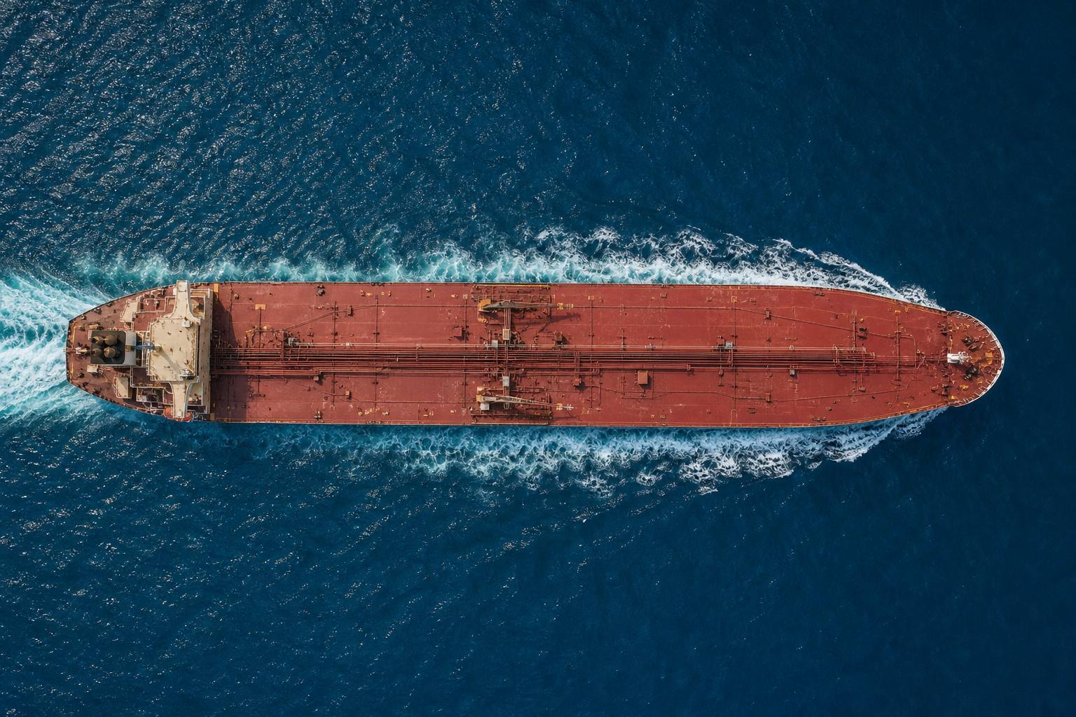
Where Hormuz crude went, 20242M bbl/ship20M bbl/day≈10Counting tankers About ten full VLCCs a day. A rough count: real ships vary in size, and many smaller tankers sail too.A very large crude carrier About two million barrels in one hull (illustration).
Chapter VI · The valve
Ten ships a day
EIA chokepoint figures for 2023: Malacca 23.7, Hormuz 20.9, Suez + SUMED 8.8, Bab el-Mandeb 8.6 million barrels a day. In 2024, 84% of Hormuz crude and condensate went to Asia; China, India, Japan and South Korea took 69%. Around one-fifth of global LNG trade transited the strait, mostly from Qatar.
The Strauss Center gives a VLCC as over 200,000 deadweight tons, carrying about two million barrels, with an average length of 1,240 feet (about 380 m), and says most crude carriers through the strait are VLCCs.
Two pipelines around it, and not nearly enough room.
So what happens when the valve closes? There are two big pipelines that go around it. Saudi Arabia's East–West line carries crude across the desert to the Red Sea, with about five million barrels a day of capacity.
The Emirates' line runs to Fujairah, outside the strait, with about one point eight million. But both already carry oil in normal times.
The US Energy Information Administration estimated that only about two point six million barrels a day of spare capacity could be switched over. Twenty million in, two point six around. The rest has to wait.
That gap is why fighting in this strait is felt in Tokyo, Mumbai and Bangkok. Thailand, which in early 2026 bought more than half of its imported crude from the Middle East, halted its exports of crude and refined fuel within days of the war starting.
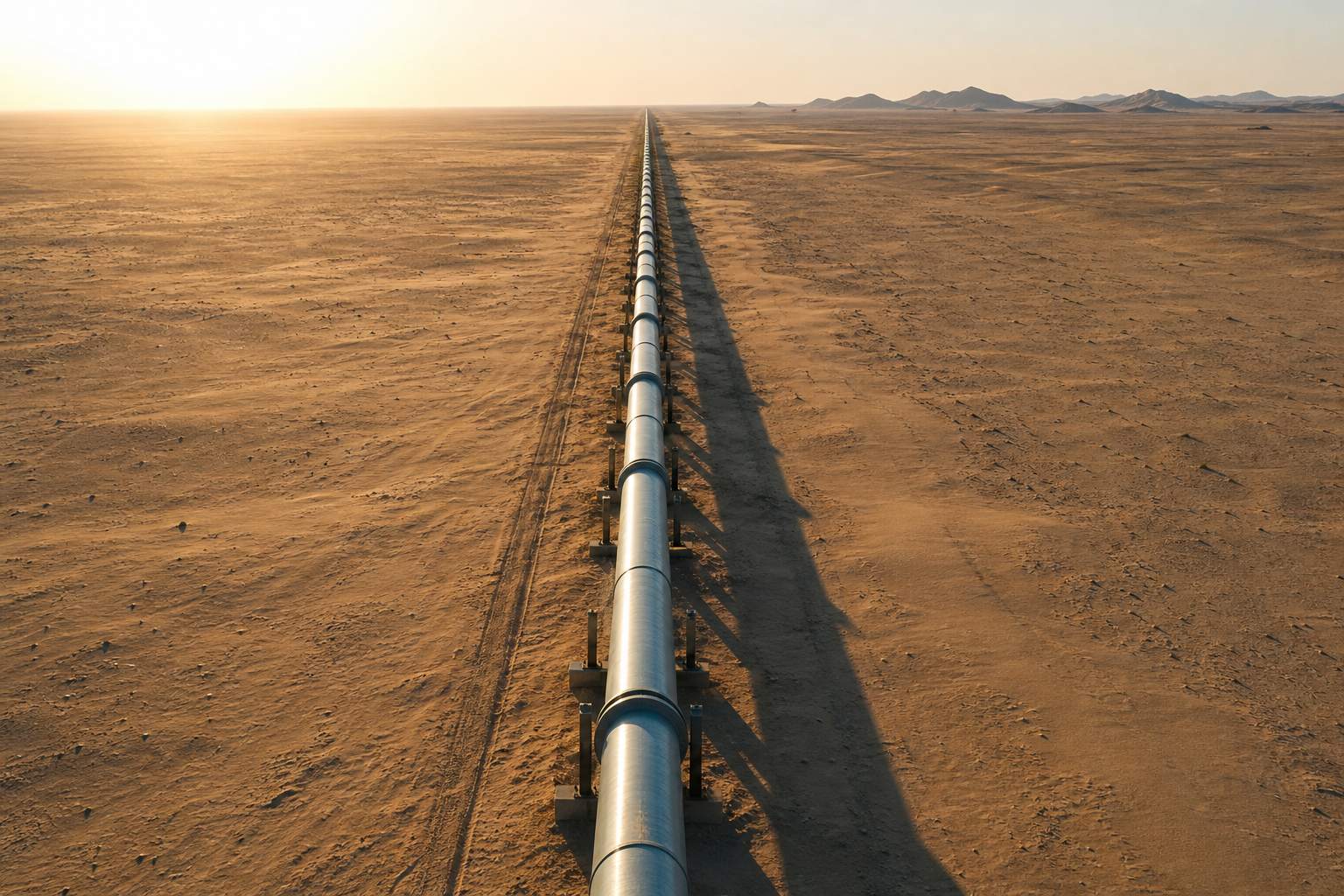
The way around A crude pipeline across the desert (illustration).
Saudi East–West capacity
5 million barrels a day
UAE line to Fujairah
1.8 million barrels a day
Unused, available in a crisis
2.6 million barrels a day
Bypass pipelines (EIA)
20
million bbl/day normally through Hormuz
2.6
million that could go around
≈ 17
million left waiting
The arithmetic of a closure
>51%
of crude and condensate imports from the Middle East (early 2026)
Thailand
1 Mar 2026
crude and fuel exports suspended to protect reserves
Thailand's response
Chapter VI · The valve
Closing the valve
EIA (June 2025): Saudi Arabia's East-West pipeline has a capacity of 5 million b/d (temporarily raised to 7 million in 2019); the UAE line to Fujairah carries 1.8 million b/d; about 2.6 million b/d of unused capacity could bypass Hormuz in a disruption.
S&P Global reported on 2 March 2026 that the Middle East supplied more than 51% of Thailand's crude and condensate imports in 2026, and that Thailand's energy ministry suspended crude and fuel exports in a statement issued on 1 March. The simulator is a simple model. Press Close the strait and Open the pipelines.
Who owns this water? Iran and Oman each claim twelve nautical miles of sea. Twelve plus twelve is more than the twenty-one-mile gap, so none of it is open sea.
The 1982 UN Convention on the Law of the Sea, UNCLOS, gives ships a right of transit passage through straits like this one, continuous and quick, and says that right may not be suspended.
But neither Iran nor the United States has ratified UNCLOS. Iran, like Oman, recognises only innocent passage, which a coastal state may suspend for its security, and Iran requires warships to ask permission first.
The United States rejects both countries' claims and contests them at sea. The argument has never been settled, and in a crisis each side reads the law its own way.
Iran's territorial sea
12 nautical miles
Oman's territorial sea
12 nautical miles
Width of the gap
21 nautical miles
Why there are no high seas
There shall be no suspension of transit passage.UNCLOS, Article 44
157
states parties (February 2026)
Iran · US
have not ratified it
UNCLOS
Iran: innocent passage only; warships need permission (1993 law)
Oman: innocent passage; prior permission for warships
United States: transit passage for all; contests both claims
Who says what
Chapter VII · Law
Whose water?
UNCLOS Article 38 defines transit passage as freedom of navigation and overflight solely for continuous and expeditious transit; Article 44 says states bordering straits shall not hamper it and there shall be no suspension.
Neither Iran nor the US has ratified UNCLOS. Iran extended its territorial sea to 12 nmi in 1959 and recognises only innocent passage; a 1993 Iranian law requires warships to obtain permission. Oman (12 nmi since 1972) likewise confirms innocent passage only and requires prior permission for warships. The US contests both claims. Under UNCLOS Article 25(3), a coastal state may temporarily suspend innocent passage in specified areas when essential for its security; transit passage may not be suspended. Press Show territorial seas.
The geology will not change. The people at the door do.
Since March 2026 the strait has been closed, half open and closed again. Iran's Revolutionary Guard, the IRGC, says it has full control, and that tankers which ignore its rules will be struck.
The United States says Iran has lost control and that oil flows have largely recovered. Ships and their crews sail between those two claims.
The geology will not change. The oil sits where the Tethys left it, behind the same narrow door. What changes is who stands at the door, and what the rest of the world will pay to keep it open.
The strait “is closed”, and Iran's armed forces have “full control over it.”Mohammadreza Naqdi, adviser to the IRGC commander, via Fars (October 2026)
They've lost complete control of the strait.Marco Rubio, US Secretary of State (October 2026)
~200–66 Myr Tethys source rocks laid down
~11th c. Hormuz kingdom tolls ships
1507 / 1515 Portugal takes Hormuz
1622 Persian–English capture
1908 oil at Masjed Soleyman
1981–1988 Tanker War
1982 UNCLOS signed
2026 strait closed and contested
The strait through time
24
seafarers killed
35+
injured
The human cost since March 2026 Figures from Wikipedia's article on the crisis, to early October 2026. Stills in this film are AI-generated illustrations; the map relief is schematic.
Epilogue · Sources
Who stands at the door
The National (13–14 October 2026), citing Reuters and maritime security sources, reported at least 12 attacks on oil, LNG and LPG tankers around the strait between 28 September and 5 October, and six vessels struck on 11 October according to UKMTO. It quoted IRGC adviser Mohammadreza Naqdi (via Fars) saying the strait "is closed" and Iran's forces have "full control", and US Secretary of State Marco Rubio saying oil flows had largely recovered and Iran had "lost complete control of the strait."
Stills in this film are AI-generated illustrations. The map uses Natural Earth coastlines with schematic relief; the rock cross-section and the flow simulator are simplified models.