On 30 October 2026 India launched NVS-03, a satellite for its NavIC navigation system. This film explains how satellite navigation works: from the Doppler tone of Sputnik and the Transit system, to measuring distance by timing signals at the speed of light, why a receiver needs four satellites, the GPS constellation and its atomic clocks, the relativity correction of 38 microseconds a day, the ionosphere and multipath, how accuracy improved, and the world's other systems, GLONASS, Galileo, BeiDou, QZSS and NavIC.
Interactive 3D film9 min1957 to 2026Published 2 November 2026
How a satellite twenty thousand kilometres away knows where you are.
Every time your phone puts a blue dot on a map, it is listening to satellites twenty thousand kilometres away or more. How can they tell you where you are, to within metres?
The newest satellite built for this job lifted off just before midnight on the thirtieth of October 2026, on an Indian GSLV rocket from Sriharikota. It is called NVS-03.
Once it reaches its final orbit, it should bring NavIC, India's own navigation system, back to the minimum of four working satellites it needs.
The blue dot A route traced through a night city. AI-generated still.
23:51
India time, 30 Oct 2026
20th
flight of the GSLV rocket
GSLV-F18, SriharikotaEvery turning, timed A car receiver also reads the wheel sensors, so it can carry a position through a tunnel. AI-generated still.
3 → 4
working satellites, once NVS-03 is in its final orbit
7
in the full constellation
NavIC (GKToday, WION)
Prologue
One more clock in the sky
FoneArena (31 October 2026): ISRO’s GSLV-F18 lifted off at 23:51 IST on 30 October 2026 from the Second Launch Pad at Sriharikota and placed NVS-03 in a geosynchronous transfer orbit of about 170 × 38,080 km; the satellite carries an indigenous rubidium atomic clock along with procured clocks, and NavIC covers India and about 1,500 km beyond its borders. GKToday: it was the 20th GSLV flight; NVS-03 was injected into orbit about 18 minutes after lift-off; NavIC’s full constellation has seven satellites, three geostationary and four in inclined geosynchronous orbits, and NVS-03 restored it to its minimum operational configuration of four. WION: the satellite still has to raise its own orbit, which was to take about a week, so the restoration depends on that step.
The launch is the hook. The rest of the film is how satellite navigation works.
The 3D scenes are simplified teaching models: orbits, sizes and speeds are not to scale.
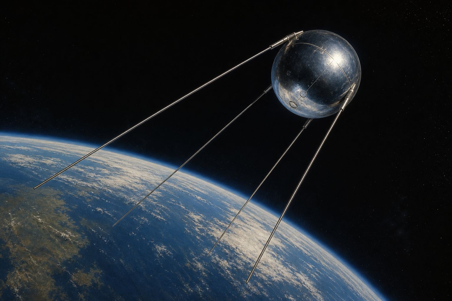
The idea began with a beeping ball. In October 1957 the Soviet Union launched Sputnik 1, the first artificial satellite, and it broadcast a radio signal as it flew.
At the Johns Hopkins Applied Physics Laboratory in America, two physicists, William Guier and George Weiffenbach, listened. As it approached, its radio tone rose in pitch; as it moved away, the pitch fell, like an ambulance siren passing by. This is the Doppler effect.
How fast the pitch changed, and when it crossed its true value, told them how close the satellite came and when. From that they worked out its orbit. Listen to a pass.
A first satellite A polished sphere trailing four long antennas. AI-generated still.
Coming closer: waves bunch up, pitch rises
Going away: waves stretch, pitch falls
Closest point: no shift
The Doppler effect
siren
higher as it comes, lower as it goes
The same effect on the street
shift → orbit
the satellite’s path, worked out from the ground
Johns Hopkins APL, 1957
Chapter I · Listening to Sputnik
A beeping ball
Wikipedia, Transit (satellite): after the Soviet launch of Sputnik 1 in October 1957, William Guier and George Weiffenbach, physicists at the Johns Hopkins Applied Physics Laboratory, used the Doppler shift of its radio signals to determine its orbit.
Try it: listen to a pass. The change in pitch is exaggerated so the ear can hear it.
The 3D scenes are simplified teaching models: orbits, sizes and speeds are not to scale.
In March 1958 the head of their research centre, Frank McClure, turned the idea around. If you know exactly where a satellite is, its Doppler shift tells you where you are.
That became the Transit system. Its first working satellite reached orbit in April 1960, and the US Navy began using it in 1964, mainly to give its submarines a position.
But a fix came only when a satellite passed, often an hour or more apart, and one pass was good to about two hundred metres.
Known satellite + measured Doppler shift = your position.McClure’s reversal, March 1958 (paraphrased)
Into the channel At sea the correction comes from shore stations that broadcast how far off their own known positions appear. AI-generated still.
1959 Transit 1A fails to reach orbit
Apr 1960 Transit 1B succeeds
1964 US Navy begins using it
1968 36-satellite constellation in place
1996 Retired: GPS replaces it
TransitNavigating by satellite at sea A ship’s bridge at night. AI-generated still.
Chapter I · Listening to Sputnik
Transit
Wikipedia, Transit (satellite): in March 1958 APL’s research centre chairman, Frank McClure, proposed the reverse: if a satellite’s position is known and predictable, its Doppler shift could locate a receiver on Earth. The prototype Transit 1A failed to reach orbit in 1959; Transit 1B succeeded in April 1960. The Navy began using the system in 1964, mainly to give Polaris submarines position fixes, and a full constellation of 36 satellites was in place by 1968. A single pass gave roughly 200 m accuracy; because usually only one satellite was visible, fixes came only every hour or more. It was retired in 1996.
The 3D scenes are simplified teaching models: orbits, sizes and speeds are not to scale.
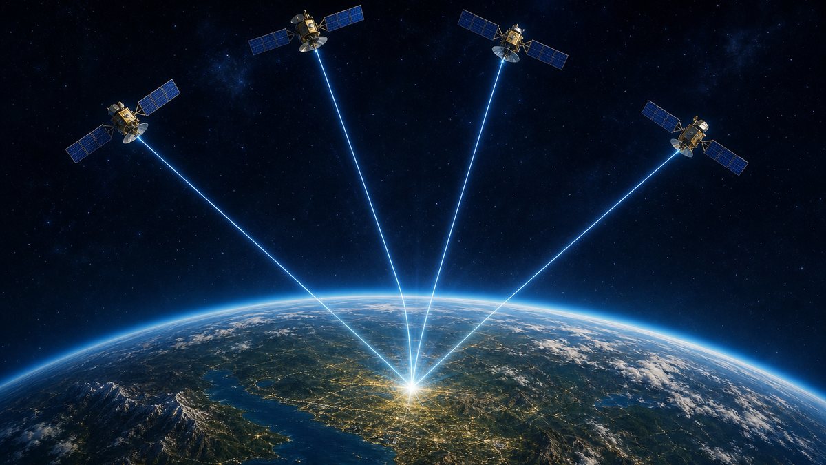
Modern satellite navigation works differently. It measures distance by timing a signal.
Each satellite broadcasts who it is, where it is, and exactly when it sent its signal.
Your receiver notes when the signal arrives. The travel time, multiplied by the speed of light, gives the distance.
Light is fast, so the timing must be extraordinary. In one millionth of a second, light travels about three hundred metres. A clock that far off puts you three hundred metres out. Try it.
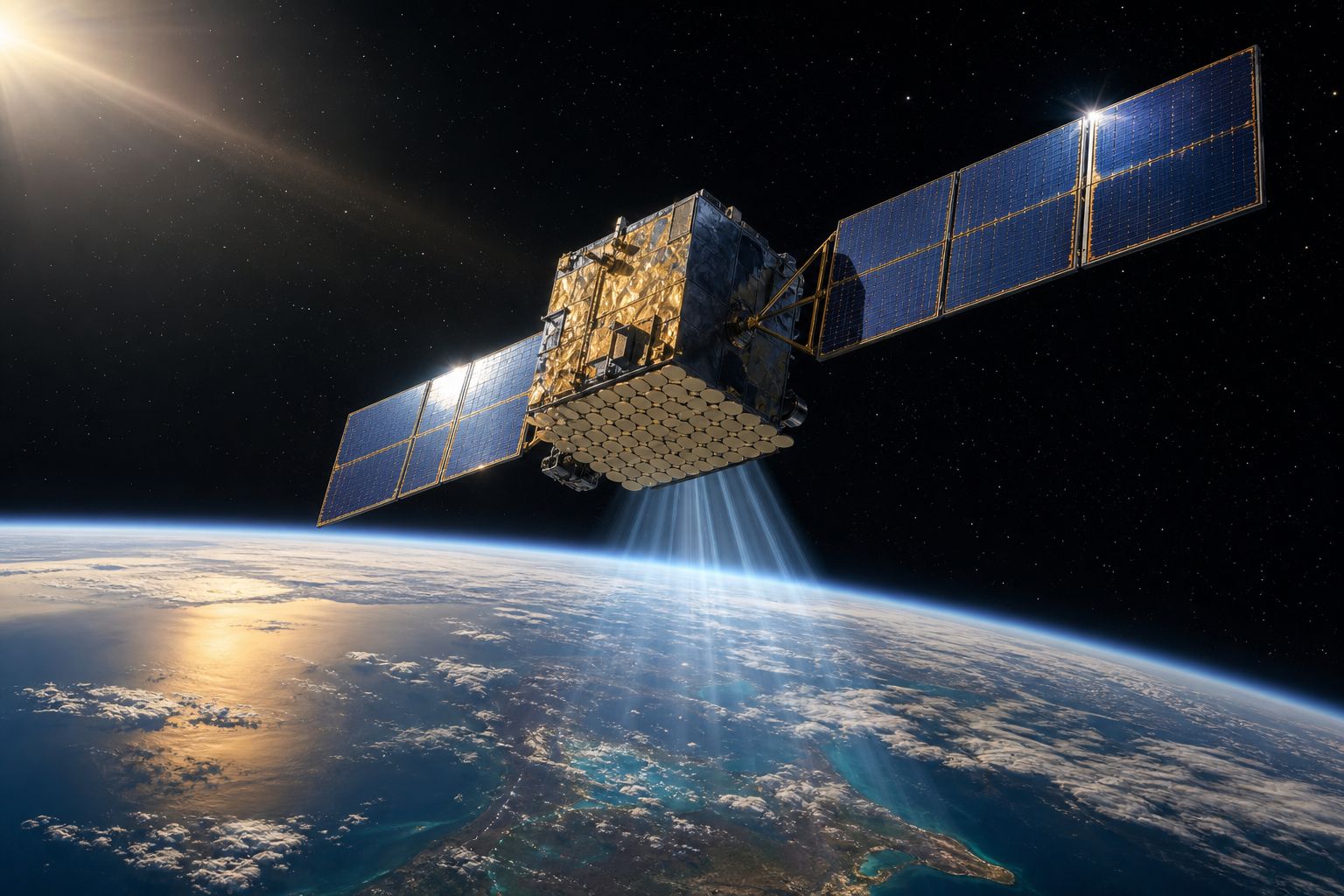
A navigation satellite It carries clocks, and a transmitter that never stops. AI-generated still.
Which satellite
Where it is
The exact time it was sent
In every signald=c×(tarrive−tsent)
c
speed of light, about 300,000 km per second
t
times read from the clocks
Distance from time
1 billionth of a second
0.3 m
1 millionth of a second
300 m
1 thousandth of a second
300 km
Clock error → position error
~67 ms
travel time straight down, at the speed of light
From 20,200 km up
Chapter II · Distance from time
A stopwatch in the sky
Penn State, GEOG 160: a receiver needs signals from at least four satellites to compute a position; satellite clock and orbit errors are corrected with data broadcast in the signal. The distance error for a clock error follows from the speed of light, 299,792 km per second: about 0.3 m in a billionth of a second, 300 m in a millionth and 300 km in a thousandth.
Try it: give the receiver a perfect clock, then one off by a microsecond, then by a millisecond. The year on this step is when the GPS programme began (1973).
The 3D scenes are simplified teaching models: orbits, sizes and speeds are not to scale.
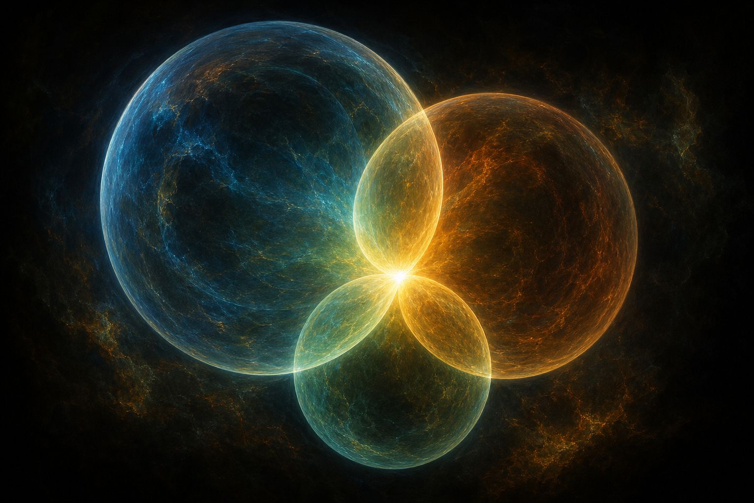
Suppose for a moment your clock were perfect. One distance alone says only that you are somewhere on a huge sphere, centred on that satellite.
A second satellite's sphere cuts the first in a circle. A third narrows it to two points, and one of them can usually be ruled out because it is not on Earth.
Finding a place from distances like this is called trilateration. Add the satellites one at a time.
Where spheres meet Three spheres of different sizes share just one bright point. AI-generated still.Down to centimetres A survey receiver reaches centimetres by comparing its signals against a second receiver standing on a known point. AI-generated still.
1: a sphere
2: a circle
3: two points
Each satellite narrows it down
distances
not angles: that is triangulation
Trilateration
Chapter II · Distance from time
Spheres of distance
This step shows the geometry of positioning from measured ranges. Penn State, GEOG 160: a minimum of four satellites is needed for a position; satellite geometry also matters, measured as dilution of precision (DOP), from 1 at best to over 20 when the data should not be used.
Try it: one, two and three satellites. The spheres are drawn to the model’s scale, not the real one.
The 3D scenes are simplified teaching models: orbits, sizes and speeds are not to scale.
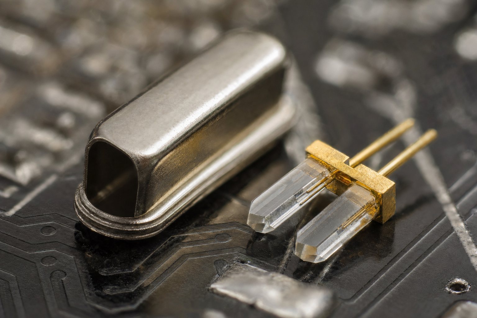
But your clock is not perfect. The satellites carry atomic clocks; your phone has an ordinary quartz clock, far less steady.
If the phone's clock is a millionth of a second fast, every satellite seems three hundred metres farther away, all by the same amount, and the spheres no longer meet.
So the receiver treats its clock error as one more thing to find, alongside how far east, how far north and how high it is. Four unknowns need four measurements.
That is why a receiver needs at least four satellites, and why GPS is built so that four or more are in view from almost anywhere on Earth.
atomic
in each satellite
quartz
in your phone: far less stable
Two kinds of clock
+300 m
to every satellite, the same for all
A clock 1 µs fast(x,y,z,Δt)
x,y,z
position: east, north, height
Δt
the receiver’s clock error
Four unknownsThe clock in your pocket A quartz crystal usually vibrates 32,768 times a second, a power of two, so a simple circuit can halve it down to one tick. AI-generated still.
≥ 4
satellites in view from virtually anywhere
GPS design (GPS.gov)
Chapter II · Distance from time
Why four
Penn State, GEOG 160: receiver clocks are quartz and much less stable than the satellites’ atomic clocks; receiver clock error can be removed by comparing arrival times from satellites whose transmission times are known, and a minimum of four satellites is needed for a position. GPS.gov: users can view at least four satellites from virtually any point on the planet.
Try it: with a cheap clock and no fourth satellite the spheres miss; with the fourth, they meet. The miss is exaggerated.
The 3D scenes are simplified teaching models: orbits, sizes and speeds are not to scale.
America's Global Positioning System, GPS, grew from a programme begun in 1973. Its first prototype satellite flew in 1977, and in April 1995 it was declared fully operational.
Its baseline is twenty-four slots in six orbital planes, about twenty thousand two hundred kilometres up. Each satellite circles the Earth twice a day.
In practice it flies more than the baseline, about thirty-one working satellites in 2017, so there are spares in orbit. Look at one plane, then all six.
1973 Programme office designs the system
Jun 1977 First prototype satellite
Dec 1993 Initial operational capability
Apr 1995 Fully operational
Building GPS
Col. Bradford Parkinson
led the GPS Joint Program Office from 1973
The designer (Space Systems Command)
24
orbit slots
6
orbital planes
~20,200 km
height
2
orbits a day
The GPS baseline (GPS.gov)One of the fleet Solar wings and an antenna pointed at Earth. AI-generated still.
Chapter III · Clocks in orbit
The constellation
US Space Force, Space Systems Command: the GPS Joint Program Office, led by Colonel Bradford Parkinson, designed the architecture from 1973; the first prototype launched on 22 June 1977; four developmental Block I satellites followed; initial operational capability was declared on 8 December 1993 and full operational capability on 27 April 1995. GPS.gov: the baseline is 24 slots in six equally spaced planes, expanded to effectively 27; there were 31 operational satellites as of 2017; the satellites fly in medium Earth orbit at about 20,200 km and circle the Earth twice a day.
Try it: one plane, then all six. The model has 24 satellites; the count above Bangkok is the model’s, not today’s sky.
The 3D scenes are simplified teaching models: orbits, sizes and speeds are not to scale.
Everything depends on the clocks. Each satellite carries atomic clocks, and even they drift.
Monitoring stations on the ground track the satellites, work out each clock's error, and send corrections, which the satellites then broadcast along with their signals.
An atomic frequency standard Atomic clocks keep time from the steady vibration of atoms. AI-generated still.What a second is Caesium defines the second itself: 9,192,631,770 vibrations of the atom. AI-generated still.
Ground stations track each satellite
Clock and orbit errors are computed
Corrections go up, then come down in the signal
The correction loop
satellite clocks
which is why they are checked all the time
Biggest source of range error (Penn State)
Chapter III · Clocks in orbit
Clocks that are checked
Penn State, GEOG 160: atomic clocks can drift; satellite clock error is the largest contributor to the user range error; monitoring stations calculate corrections, which are broadcast with the signal.
How atomic clocks work is its own film on PlanetPast: “How Atomic Clocks Work”.
The 3D scenes are simplified teaching models: orbits, sizes and speeds are not to scale.
And then there is Einstein. The satellites move fast, about fourteen thousand kilometres an hour.
By special relativity, a moving clock runs slow, so theirs fall behind ours by about seven microseconds a day.
But they are high above Earth, where gravity is weaker, and by general relativity that makes their clocks run fast, by about forty-five microseconds a day.
Together: thirty-eight microseconds a day ahead, the time light takes to cross about eleven kilometres. Left uncorrected, positions would drift by around ten kilometres every day. The system allows for it. Switch the correction off and watch.
~14,000 km/h
speed
12 h
one orbit
A GPS satellite (Ohio State)
−7 µs
a day, compared with clocks on the ground
Moving fast (special relativity)
~20,000 km
height above the ground
+45 µs
a day
Weaker gravity (general relativity)45−7=38μs per day38μs×c≈11km
μs
microsecond: a millionth of a second
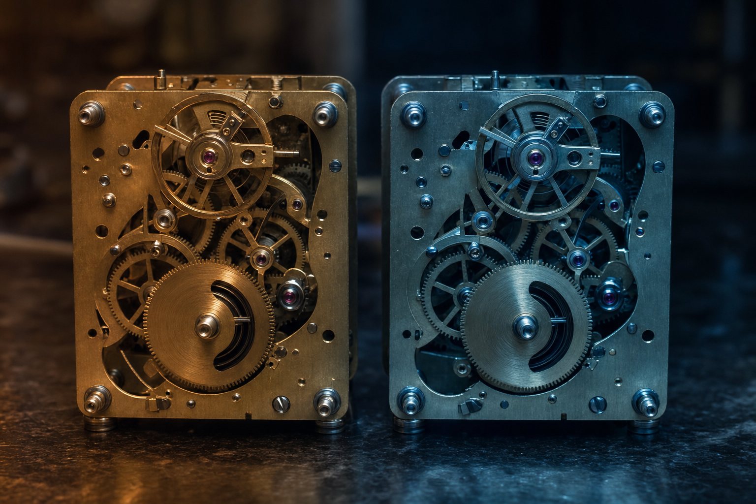
The net drift, and what it would costTwo clocks, two rates The fix is built into the hardware: each satellite clock is set to run slightly slow before it is launched. AI-generated still.
Chapter III · Clocks in orbit
Einstein in orbit
Tech for Space (R. Gourdon): because they move fast, GPS satellite clocks run about 7 µs a day slower than clocks on Earth (special relativity); because gravity is weaker at their altitude, they run about 45 µs a day faster (general relativity); the net is about 38 µs a day, roughly the time light takes to travel 11 km, so positions would drift by roughly 10 km a day if this were ignored. Ohio State University lecture notes: satellite speed about 14,000 km/h, altitude about 20,000 km, orbital period 12 hours, with the same 7, 45 and 38 figures.
Try it: switch the correction off and the red circle grows day by day (its size on screen is schematic). The year on this step is when GPS became fully operational.
The 3D scenes are simplified teaching models: orbits, sizes and speeds are not to scale.
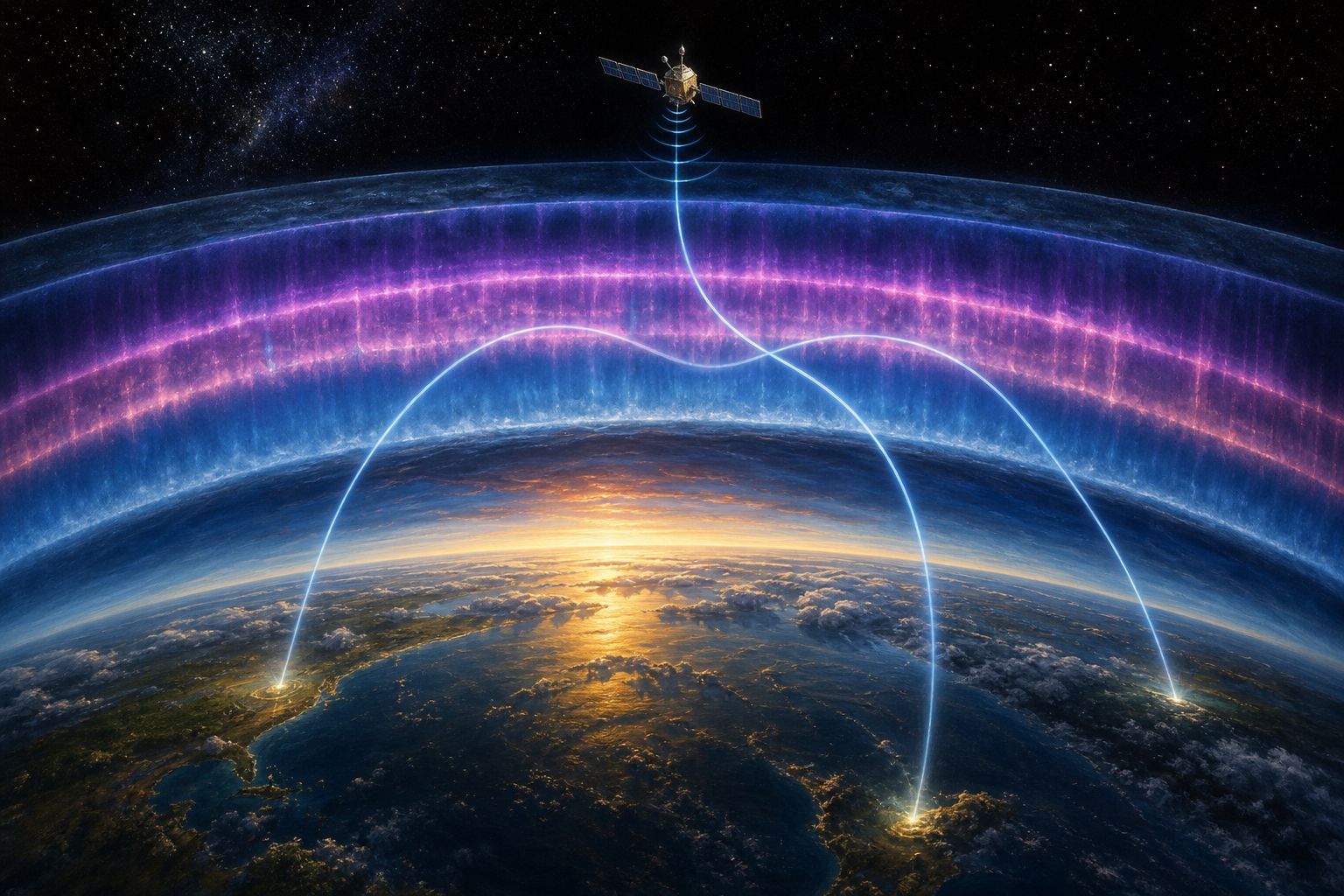
Even with perfect clocks, the path is not empty. The ionosphere, a layer of electrically charged gas from about fifty to a thousand kilometres up, delays and bends the signals.
Receivers use models of the ionosphere to remove about three-quarters of that delay. Lower down, the air adds a little more delay, most of all for satellites near the horizon.
In cities and forests, signals bounce off buildings and trees and arrive by more than one path. This is called multipath, and it is why the blue dot can wander between tall towers.
The ionosphere A glowing layer of charged gas above the lower atmosphere. AI-generated still.
Satellite clocks
Ionosphere, 50–1,000 km up
Receiver clock
Orbit errors
Lower atmosphere
Multipath
Error sources (Penn State)
15°
a typical mask angle above the horizon: satellites lower than this are ignored
Fighting multipath
Chapter IV · What gets in the way
What gets in the way
Penn State, GEOG 160: the ionosphere, about 50–1,000 km up, delays and deflects signals, and corrections remove only about three-quarters of the bias, making it the second-largest contributor to range error; the lower atmosphere, up to about 50 km, adds delay, most for satellites near the horizon; multipath, reflected signals interfering with direct ones, is worst in cities, forests and valleys, and tracking only satellites above a 15° mask angle helps.
Try it: show the delay as bent paths. The bending is exaggerated for the eye.
The 3D scenes are simplified teaching models: orbits, sizes and speeds are not to scale.
For years, the United States deliberately degraded the civilian GPS signal, a policy called Selective Availability. On the first of May 2000 the President ordered it ended, and it was switched off just after midnight that night.
At that time the US said ordinary users should get ten to twenty metres or better. Differential GPS, which adds corrections from stations on the ground, reaches one to three metres.
Survey receivers that use two frequencies can get to about a centimetre. Compare them.
2 May 2000
switched off worldwide just after midnight US Eastern time, at the end of 1 May
Selective Availability (GPS.gov)
The whole constellation at once
No change needed to receivers
Users worldwide gained accuracy
Switching it off (GPS.gov)
Transit, one pass
~200 m
Civil GPS, as stated in 2000
10–20 m
Differential GPS
1–3 m
Dual-frequency survey
~1 cm
Accuracy, from Transit to survey
Working after dark Steering by satellite lets a machine work at night, because it no longer needs to see the last row. AI-generated still.When a metre is too much Straight rows across a wide field at sunrise. AI-generated still.
Chapter IV · What gets in the way
How close is close?
GPS.gov: President Clinton announced on 1 May 2000 that Selective Availability would end; it was turned off across the whole constellation a few minutes past midnight EDT, at the end of 1 May; civilian users worldwide should then get 10–20 m or better without changing receivers; Differential GPS gives about 1–3 m and integrity warnings for safety-critical navigation, and the US Coast Guard runs a maritime DGPS network. Penn State, GEOG 160: a low-cost receiver, up to about 10 m (95%); a WAAS-enabled receiver about 1–3 m; a dual-frequency survey-grade receiver about 1 cm or less. Wikipedia, Transit: about 200 m for one pass.
Try it: compare the four circles. Their sizes are on a log scale; the bars use log₁₀ of the error in centimetres.
The 3D scenes are simplified teaching models: orbits, sizes and speeds are not to scale.
GPS is not alone. Russia runs GLONASS, the European Union runs Galileo, and China runs BeiDou. All four cover the whole planet.
Each works on the same principle: clocks in orbit, timed signals, at least four satellites. Pick a system to see its orbits.
GPS: United States
GLONASS: Russia
Galileo: European Union
BeiDou: China
Global systems (NovAtel)
4
global systems, each with its own satellites and clocks
2
regional systems: QZSS and NavIC
Global coverageEverywhere at once An airliner on approach at dusk. AI-generated still.
Atomic clocks in orbit
Timed signals
At least four satellites
The same recipe in every system
Chapter V · Many skies
Many skies
NovAtel, An introduction to GNSS: GPS (United States), GLONASS (Russia), Galileo (European Union) and BeiDou (China) are global navigation satellite systems; NavIC (India) and QZSS (Japan) are regional.
Try it: show each system. The other three systems’ orbits are drawn schematically, with 24 satellites each; their real numbers and orbits differ.
The 3D scenes are simplified teaching models: orbits, sizes and speeds are not to scale.
Some countries built regional systems instead. Japan has QZSS, and India has NavIC.
NavIC's full set is seven satellites, all in orbits that take exactly one day: three geostationary, which hang over fixed points on the equator, and four tilted, which swing north and south each day.
Its service covers India and about fifteen hundred kilometres beyond. Like NVS-01 before it, NVS-03 carries a civilian L1 signal, suited to small, low-power devices such as smartwatches.
And it carries a rubidium atomic clock developed in India, in place of imported clocks of the kind that failed on earlier NavIC satellites.
QZSS
Japan and the Asia-Oceania region
NavIC
India and its surroundings
Regional systems
3
geostationary
4
inclined geosynchronous
7
in all
NavIC’s full constellation (GKToday)
Geostationary: over the equator, appears fixed in the sky
Inclined geosynchronous: same period, tilted, swings north and south
Two kinds of one-day orbit
L1, L5 and S-band signals
A civilian L1 signal for low-power devices
Better encryption for restricted users
What NVS-03 adds (Wikipedia)
rubidium
developed by the Space Applications Centre, Ahmedabad
+
procured space-grade clocks
NVS-03’s clocks (Wikipedia, FoneArena)
Chapter V · Many skies
NavIC
GKToday: NavIC’s full constellation has seven satellites, three in geostationary orbit and four in inclined geosynchronous orbit; with NVS-03 it was restored to its minimum operational configuration of four; coverage extends up to 1,500 km beyond India’s borders. Wikipedia, NVS-03: geosynchronous orbit at 32.5° E; new L1, L5 and S-band signals, improved encryption for restricted users, and a civilian L1 signal for mass-market and low-power devices such as smartwatches. NovAtel: QZSS is Japan’s regional system for Japan and the Asia-Oceania region. Wikipedia, NVS-01: the first second-generation satellite (2023) already carried an L1 signal. Wikipedia, NVS-03: its rubidium atomic clock was developed by the Space Applications Centre in Ahmedabad, replacing imported rubidium clocks that failed on earlier satellites; FoneArena: it flies alongside procured space-grade clocks.
Try it: show the geostationary and the inclined satellites. Positions, tracks and the service-area outline are schematic.
The 3D scenes are simplified teaching models: orbits, sizes and speeds are not to scale.
So the blue dot is not a picture of you from space. It is a measurement of time: signals from at least four clocks in orbit, corrected for the air, the orbits and Einstein.
Next time it wobbles between tall buildings, you will know why. And every new satellite, like NVS-03, adds one more clock to the sky.
1957 Sputnik’s Doppler shift reveals its orbit
1960 Transit 1B in orbit
1973 GPS design begins
1995 GPS fully operational
2000 Selective Availability off
2026 NVS-03 launched for NavIC
From Sputnik to NVS-03Why it wobbles Glass and stone bounce the signal, so the receiver measures a path longer than the straight one. AI-generated still.
Time the signals
Use at least four satellites
Correct clocks, air and relativity
The recipe
Epilogue · Sources
Sources
Every fact in this film comes from the sources below. The chapter stills and pictures are AI-generated and show no real people or brands. The Earth, satellites, orbits, spheres and error circles in the 3D scenes are simplified teaching models: orbits are not to scale, the other systems are drawn with 24 satellites each, and the counts of satellites above Bangkok come from the model, not from today’s sky. The Doppler tone is exaggerated so it can be heard.