On 24 October 2026 North Korea's leader Kim Jong Un crossed the newly opened Yalu River bridge into Dandong, China, and paid tribute to the Chinese soldiers who fought in the Korean War. This film explains the history behind that gesture: Korea as one kingdom for centuries, Japanese rule from 1910, the night in August 1945 when two American officers chose the 38th parallel, the two states of 1948, the war of 1950 to 1953 with its swinging front lines, China's entry, the armistice signed at Panmunjom that created the Demilitarized Zone, and why, with no peace treaty, the two Koreas remain apart.
Interactive 3D film10 min1392 to 2026Published 26 October 2026
A line chosen in one night, a war that never formally ended.
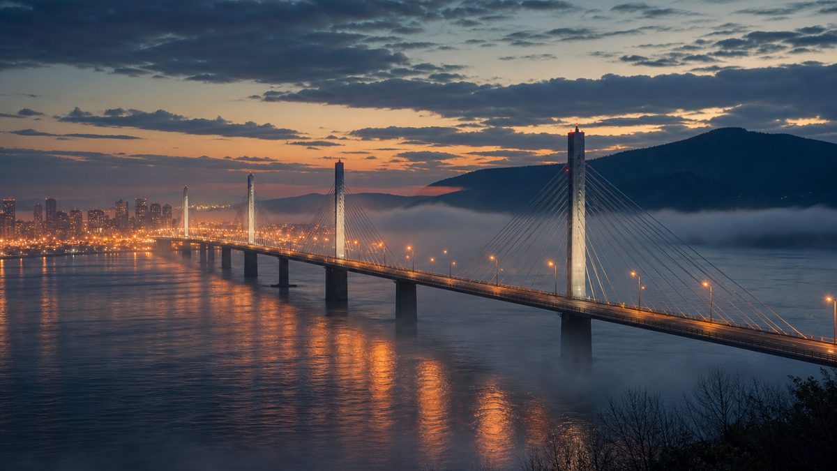
On Saturday the twenty-fourth of October 2026, North Korea's leader Kim Jong Un crossed a newly opened bridge over the Yalu River into the Chinese border city of Dandong.
There he paid tribute at a memorial to the Chinese soldiers who fought beside North Korea in a war that began in 1950.
The fighting stopped in 1953 with an armistice, a military ceasefire, but no peace treaty has ever been signed. So how did one Korea become two countries?
3 km
four lanes, finished in 2014
Oct 2026
opened, about a week before the visit
The new Yalu River bridge
“Friendship forged at the cost of blood”Kim Jong Un at the war memorial in Dandong, as reported by CBS News
One kingdom, then a Japanese colony
The 38th parallel, 1945
The war of 1950–1953
An armistice, a DMZ, two Koreas
In this film
Prologue
A bridge and a memorial
Al Jazeera: on Saturday 24 October 2026 Kim Jong Un made a one-day trip to Dandong, crossing the New Yalu River Bridge, a 3 km, four-lane bridge completed in 2014 and officially opened about a week before the visit, after delays on the North Korean side. With Wang Huning, China’s fourth-ranking official, he visited a Korean War memorial and paid tribute to the Chinese soldiers who fought alongside North Korea. CBS News: it was his first trip to China in a year; at the memorial he spoke of a friendship “forged at the cost of blood”.
The map is a teaching model: coastlines and today’s borders come from Natural Earth; front lines are drawn schematically from the dates in the sources, not surveyed positions.
For about five centuries, from 1392, the Korean peninsula was one kingdom, ruled by the Joseon dynasty.
In 1897 its king proclaimed the Korean Empire. But Japan was rising fast, and in 1905 it made Korea a protectorate.
On the twenty-second of August 1910 an annexation treaty was signed, and Korea became a Japanese colony for the next thirty-five years.
1392 Joseon dynasty founded
1897 Korean Empire proclaimed by Gojong
1905 Japanese protectorate
1910 Annexed by Japan
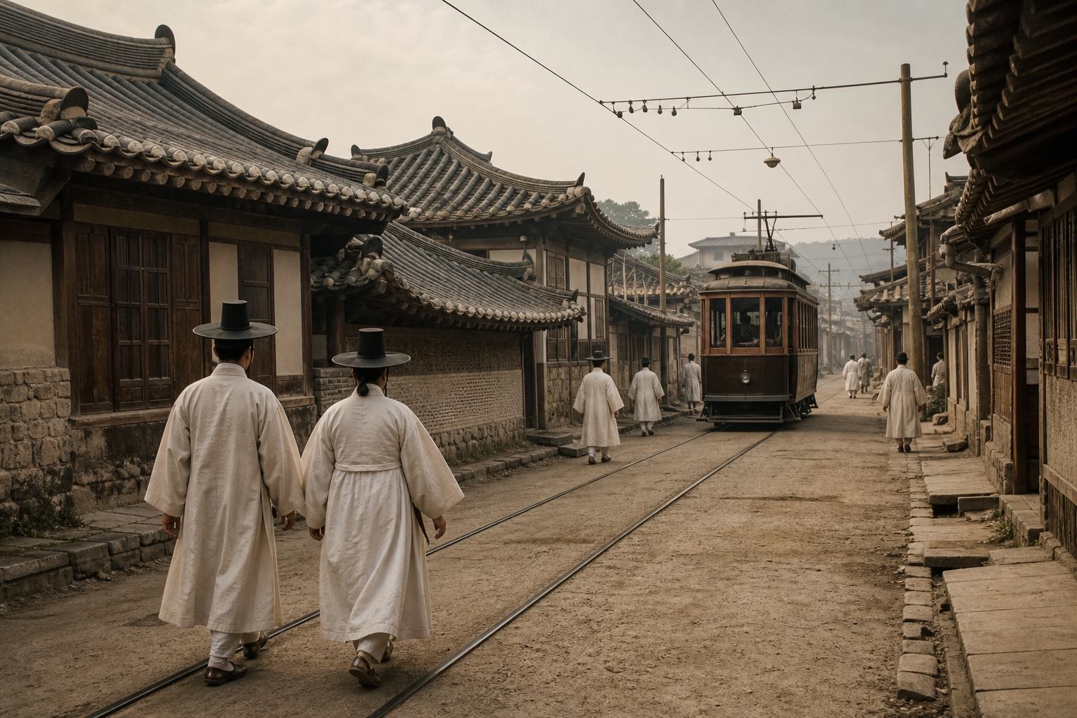
From kingdom to colonyA Korean city, about 1910 Tiled-roof houses beside a new tram line. AI-generated still.
35 years
August 1910 to August 1945
Japanese rule
Chapter I · One peninsula
From kingdom to colony
Wikipedia, Korea under Japanese rule: the Joseon dynasty was founded in 1392; in October 1897 King Gojong proclaimed the Korean Empire. Korea became a Japanese protectorate under the Japan–Korea Treaty of 1905 (17 November 1905), and the annexation treaty was signed on 22 August 1910 (annexation dated 29 August 1910). Japan’s surrender in August 1945 ended 35 years of colonial rule.
The map is a teaching model: coastlines and today’s borders come from Natural Earth; front lines are drawn schematically from the dates in the sources, not surveyed positions.
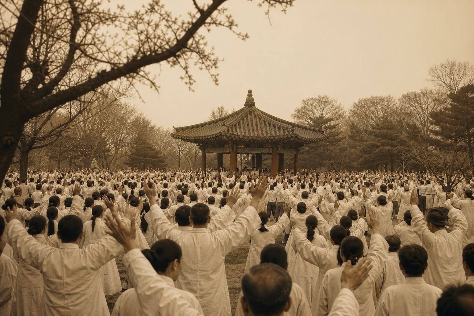
Colonial rule met resistance. On the first of March 1919, in the March First Movement, an estimated two million people joined protests for independence.
Later, Koreans were pressed to take Japanese family names, and over time the Korean language was pushed out of public life. During the Second World War millions were mobilised for labour and war.
Then, in August 1945, Japan's empire collapsed, and Koreans celebrated their liberation. Few expected what came next.
1 March 1919 A crowd gathers in a park in front of a pavilion. AI-generated still.
Wikipedia, Korea under Japanese rule: an estimated 2 million people took part in the March 1st Movement of 1919. Under Sōshi-kaimei (from 1939), families had to adopt a new surname for the family register; whether this was mandatory or strongly encouraged is disputed; Korean names and the Korean language were eventually functionally banned. From 1939 Japan mobilised Koreans on a large scale during the war; the article cites about 5.4 million mobilised, about 670,000 of them taken to Japan for civilian labour. Japan’s surrender on 15 August 1945 ended colonial rule.
The map is a teaching model: coastlines and today’s borders come from Natural Earth; front lines are drawn schematically from the dates in the sources, not surveyed positions.
On the eighth of August 1945 the Soviet Union declared war on Japan, and its troops were soon moving into northern Korea.
In Washington, just after midnight on the tenth, two officers, Dean Rusk and Charles Bonesteel, were asked where American forces should take Japan's surrender.
Using a wall map, they chose the thirty-eighth parallel, the line of latitude thirty-eight degrees north, which kept the old capital, Seoul, on the American side. The Soviets accepted. Tap each zone to compare.
8 Aug
the USSR declares war on Japan
15 Aug
Japan announces its surrender
August 1945A map on the wall A planning office, August 1945. AI-generated still.
Soviet troops were already in the north
It kept Seoul in the American zone
It was meant for the surrender, not as a border
Why the 38th parallel
15 Aug
draft cabled to Moscow
16 Aug
accepted by the Soviets
General Order No. 1
Chapter II · A line in the night
The 38th parallel
Wikipedia, Division of Korea: the USSR declared war on Japan on 8 August 1945. On 10 August Dean Rusk and Charles Bonesteel were assigned to define the American zone and chose the 38th parallel; General Order No. 1, which incorporated the division, was approved on 17 August. Wikipedia, Charles H. Bonesteel III: the draft was cabled to the Soviets on 15 August and accepted the next day, with Soviet forces already moving through Manchuria into northern Korea. Tim Shorrock: the two were sent to a basement office just after midnight on 10 August, checked a National Geographic map on the wall, and chose a line that left the US Army in control of Seoul, Korea’s traditional capital.
Try it: tap “Soviet zone” or “US zone” to light up each side of the line.
The map is a teaching model: coastlines and today’s borders come from Natural Earth; front lines are drawn schematically from the dates in the sources, not surveyed positions.
American troops landed at Incheon on the eighth of September 1945 and set up a military government in the south. Soviet forces held the north.
In December the Allies agreed in Moscow on a trusteeship, temporary rule by the great powers, of up to five years, to lead to one Korean government. Many Koreans opposed it, and the plan stalled.
As the Cold War between the United States and the Soviet Union set in, a temporary line began to harden into a border.
8 Sep 1945
US forces land at Incheon
USAMGIK
US Army Military Government in Korea, in the south
Two occupations
≤ 5 years
of four-power trusteeship, before independence
Moscow Conference, December 1945
Two armies, two administrations
No agreement on one government
The question goes to the new UN
A line that hardened
Chapter II · A line in the night
Two occupations
Wikipedia, Division of Korea: Soviet and US occupation zones were created on 2 September 1945; US forces landed at Incheon on 8 September 1945 and the US Army Military Government in Korea (USAMGIK) began. At the Moscow Conference in December 1945 the Allies agreed on a trusteeship of up to five years; it was widely opposed in Korea, and US–Soviet talks on a single government failed, after which the US took the question to the United Nations.
The map is a teaching model: coastlines and today’s borders come from Natural Earth; front lines are drawn schematically from the dates in the sources, not surveyed positions.
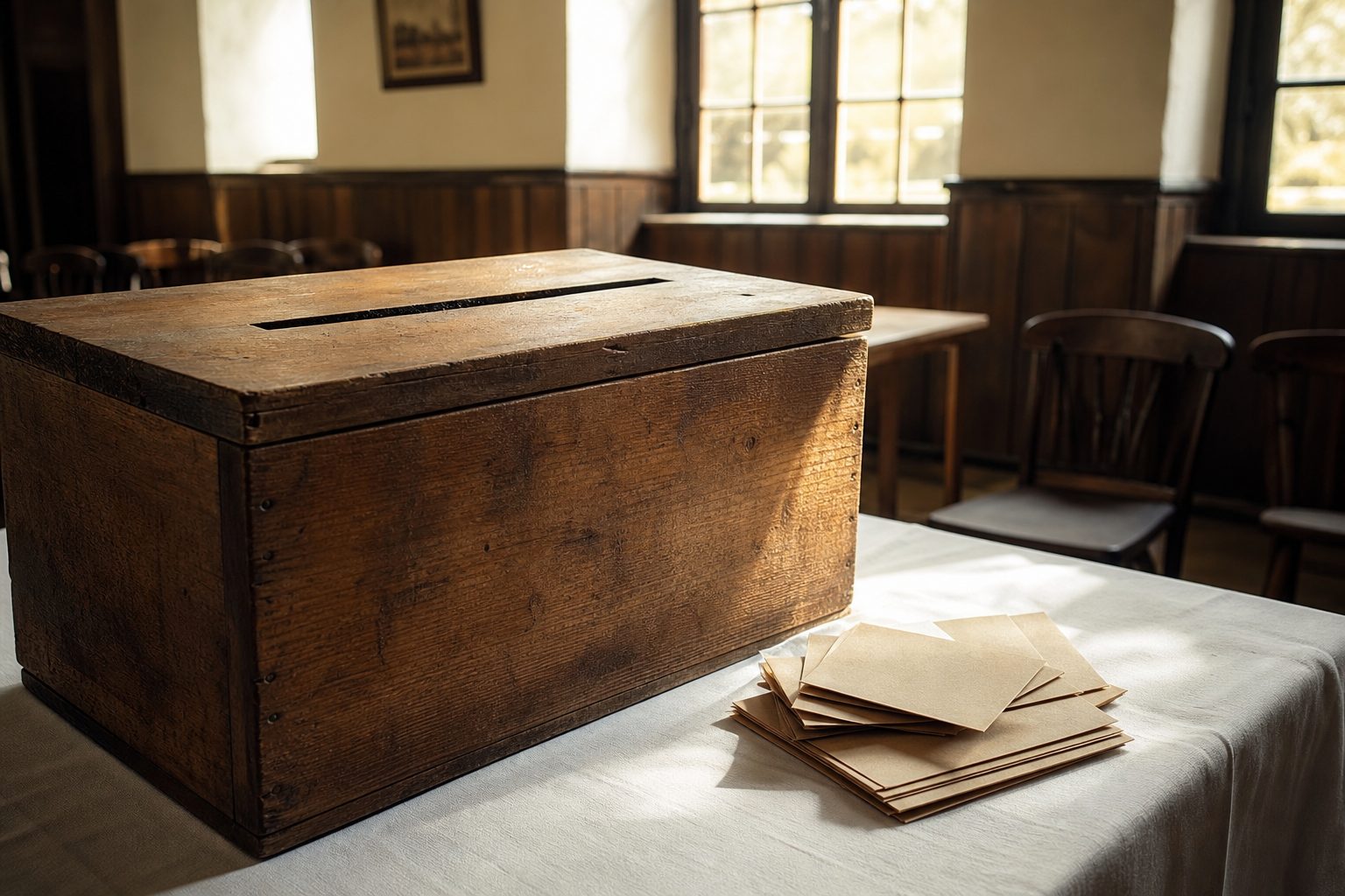
On the tenth of May 1948, elections supervised by the United Nations were held, but only in the south.
On the fifteenth of August the Republic of Korea was proclaimed in Seoul, with Syngman Rhee as president.
Less than a month later, on the ninth of September, the Democratic People's Republic of Korea was founded in Pyongyang, with Kim Il Sung as premier. Each government claimed the whole peninsula.
10 May 1948 A wooden ballot box in a village hall. AI-generated still.
10 May UN-supervised elections, south only
15 Aug Republic of Korea, Seoul · Syngman Rhee
9 Sep Democratic People’s Republic of Korea, Pyongyang · Kim Il Sung
Two states in 1948
South
Republic of Korea, capital Seoul
North
DPRK, capital Pyongyang
One peninsula, two claims
Chapter II · A line in the night
Two governments
Wikipedia, Division of Korea: UN-supervised elections were held in the south only on 10 May 1948. The Republic of Korea was proclaimed on 15 August 1948 with Syngman Rhee as its first president; the Democratic People’s Republic of Korea was established on 9 September 1948 with Kim Il Sung as prime minister. Both governments claimed to be the legitimate government of all of Korea.
The map is a teaching model: coastlines and today’s borders come from Natural Earth; front lines are drawn schematically from the dates in the sources, not surveyed positions.
Before dawn on the twenty-fifth of June 1950, North Korea's army crossed the thirty-eighth parallel in force. It said the South had attacked first, but the reports it cited proved wrong. Seoul fell three days later.
The North's army had about two hundred and twenty-three thousand men, in ten infantry divisions and other units.
The United Nations Security Council called it a breach of the peace and asked members to help the South. The Soviet Union, which was boycotting the Council in protest, was not there to use its veto.
Twenty-one countries sent forces under a United Nations Command led by the United States. Use the dates to follow the front.
25 Jun
the Korean People’s Army crosses the parallel
28 Jun
Seoul falls
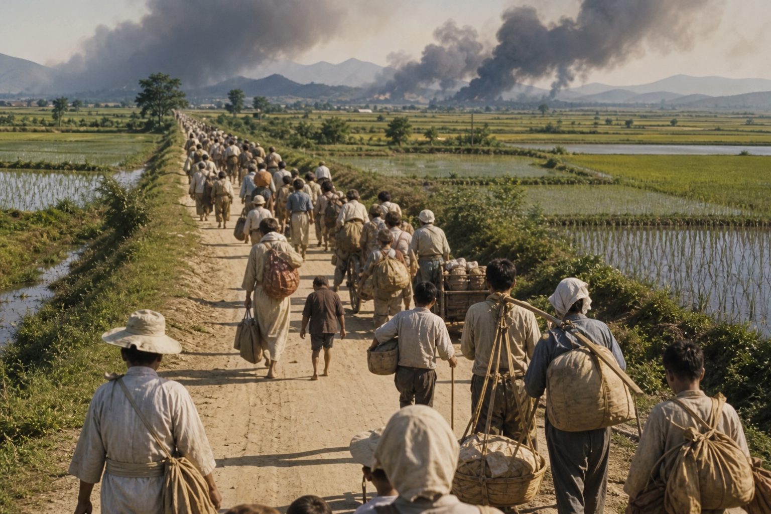
The first daysSummer 1950 Families leave their villages with what they can carry. AI-generated still.
25 Jun Resolution 82: a breach of the peace
27 Jun Resolution 83: members should help the South
7 Jul Resolution 84: a unified command under the US
The UN Security Council
21
countries sent forces
~90%
of the troops were American
United Nations Command
Chapter III · War
25 June 1950
Wikipedia, Korean War: the Korean People’s Army crossed the 38th parallel on 25 June 1950 and Seoul fell on 28 June. North Korea justified the assault with the claim that South Korean troops had attacked first; the article describes the reports behind that claim as erroneous. Wikipedia, Resolution 83: on 27 June the Council, which had already demanded North Korea’s withdrawal, recommended that members give South Korea the help needed “to repel the armed attack” (7 votes to 1, Yugoslavia against); on 7 July Resolution 84 set up a unified command under the United States. The USSR had boycotted the Council since January 1950 over China’s seat, so it could not veto. Twenty-one countries contributed to the UN Command, with the US providing about 90% of the personnel. IWM: by mid-1950 the KPA had ten infantry divisions plus other units, some 223,000 men in all.
Try it: the date buttons move the front line, schematically, through five moments of the war.
The map is a teaching model: coastlines and today’s borders come from Natural Earth; front lines are drawn schematically from the dates in the sources, not surveyed positions.
By early August the South's forces and their allies were pinned into a small corner around the port of Pusan, today's Busan.
Then, on the fifteenth of September, General Douglas MacArthur landed about seventy-five thousand troops far behind the front, at Incheon.
At the same time his army broke out of Pusan. Caught between the two, the North's army fell back, and by the twenty-eighth Seoul had been retaken. Within a month, the Americans had taken a hundred and thirty-five thousand prisoners.
5 Aug
the North’s army reaches the perimeter
1 Sep
its last great offensive
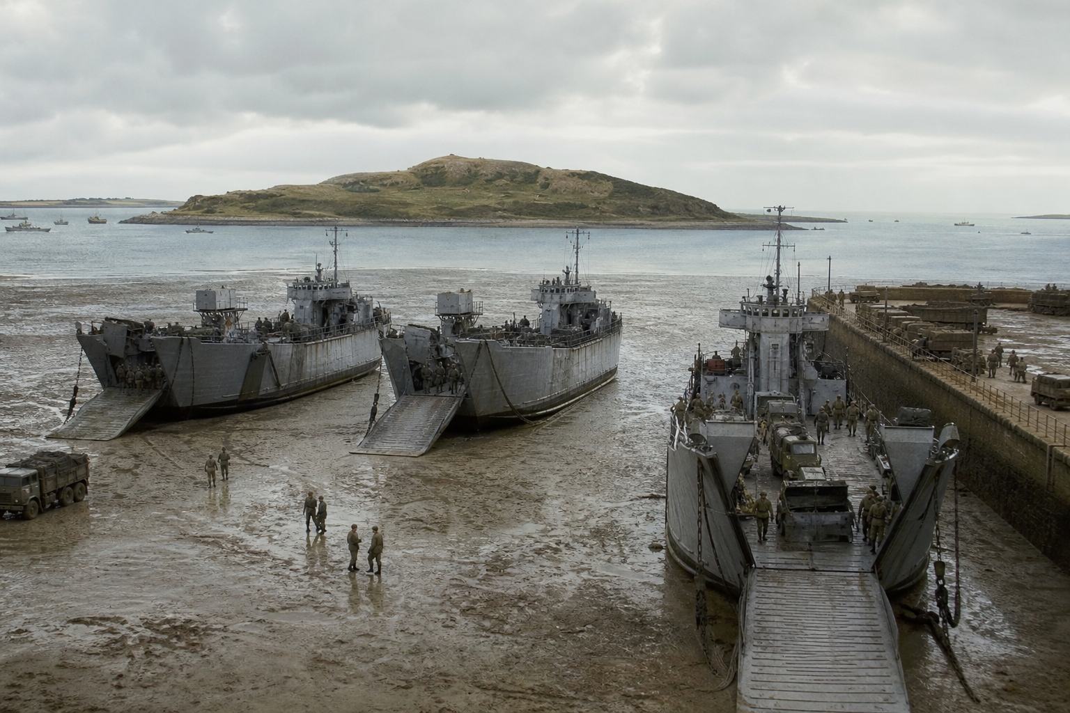
The Pusan PerimeterIncheon, September 1950 Landing ships on the tidal mudflats. AI-generated still.
~75,000
troops
261
ships
Operation Chromite
15 Sep Landing at Incheon
16 Sep Breakout from Pusan begins
28 Sep Seoul retaken
September 1950
135,000
North Korean soldiers taken prisoner
A month after the landing
Chapter III · War
From Pusan to Incheon
Wikipedia, Battle of Inchon: the KPA reached the Pusan Perimeter on 5 August 1950 and began its final offensive there on 1 September. The landing at Incheon on 15 September involved about 75,000 troops and 261 naval vessels under General Douglas MacArthur; the Eighth Army began breaking out of the perimeter on 16 September, and the last KPA units were driven from Seoul on 28 September. Within a month of the landing, the Americans had taken 135,000 KPA prisoners. Anzac Portal: the landing was “a complete success”.
Try it: compare the front in June, at Pusan and after Incheon.
The map is a teaching model: coastlines and today’s borders come from Natural Earth; front lines are drawn schematically from the dates in the sources, not surveyed positions.
United Nations forces then crossed the parallel and pushed north. Pyongyang was taken in October, and by the end of that month South Korean units had reached the Yalu River, China's border.
China's leaders had decided to intervene. On the nineteenth of October, Mao Zedong ordered Chinese troops into Korea in secret.
Their first attacks came from the twenty-fifth of October, the date China still marks as its entry into the war. Kim's visit fell on the eve of that anniversary.
30 Sep–9 Oct South Korean, then US troops cross the parallel
7 Oct UN General Assembly Resolution 376
18–20 Oct Pyongyang taken
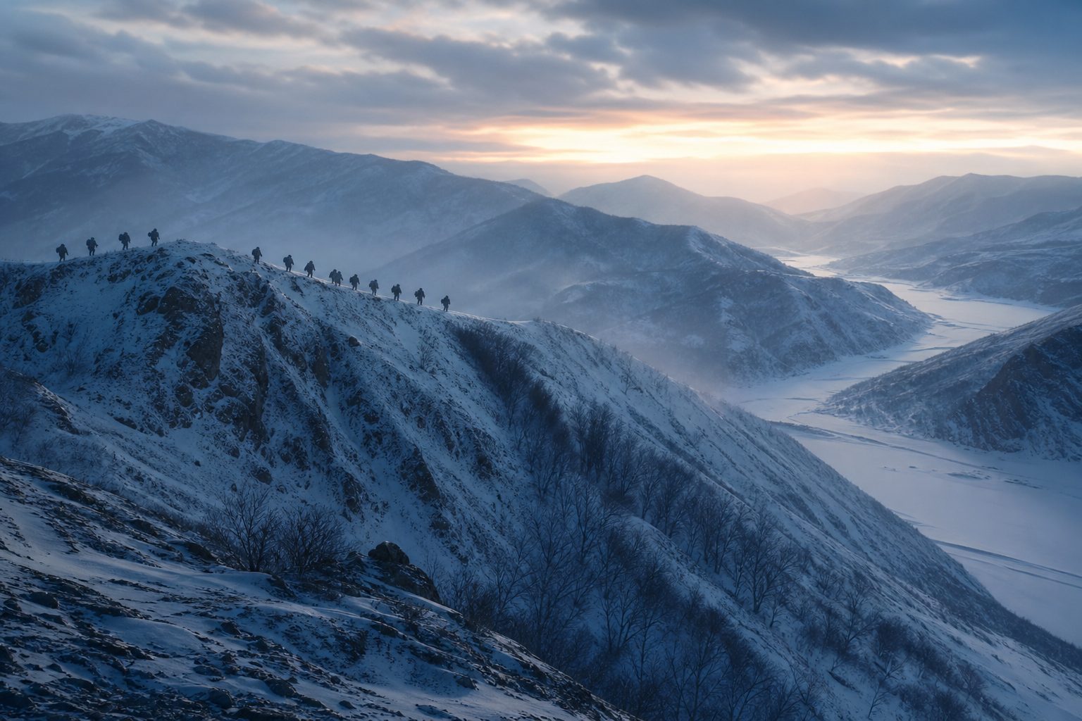
North to the YaluWinter in the north Snow-covered ridges above a frozen river valley. AI-generated still.
19 Oct
Mao orders troops into Korea, in secret
25 Oct
first offensive begins; China’s date for its entry
China enters
Korean War
the common name
“Resist America, Aid Korea”
China’s official name for its part
Two names for one war
Chapter III · War
China enters the war
Wikipedia, UN offensive into North Korea: South Korean units crossed the parallel from 30 September 1950 and US divisions from 7–9 October; UN General Assembly Resolution 376(V) was adopted on 7 October; Pyongyang was cleared between 18 and 20 October. Wikipedia, ROK 6th Infantry Division: its units reached the Yalu at Chosan in late October 1950. Mao ordered the People’s Volunteer Army into Korea on 19 October under strict secrecy; its First Phase Campaign ran from 25 October to 5 November. Anzac Portal: on 27 October Chinese troops launched the attacks that gave “the first concrete evidence that China had entered the war”. Wikipedia, 70th anniversary: China commemorates 25 October as the day its volunteers entered the war. Al Jazeera: Kim’s visit coincided with the eve of that anniversary.
Try it: “Nov 1950” shows the furthest UN advance, near the Yalu.
The map is a teaching model: coastlines and today’s borders come from Natural Earth; front lines are drawn schematically from the dates in the sources, not surveyed positions.
The Chinese offensive drove the United Nations forces back south. On the fourth of January 1951 Seoul fell for a second time.
Two months later a counter-offensive took it back. In April, President Truman relieved MacArthur of command, after the general made his own offer to talk to China and criticised the president's peace effort in a letter to Congress.
By mid-1951 the front had settled close to where it all began, near the thirty-eighth parallel.
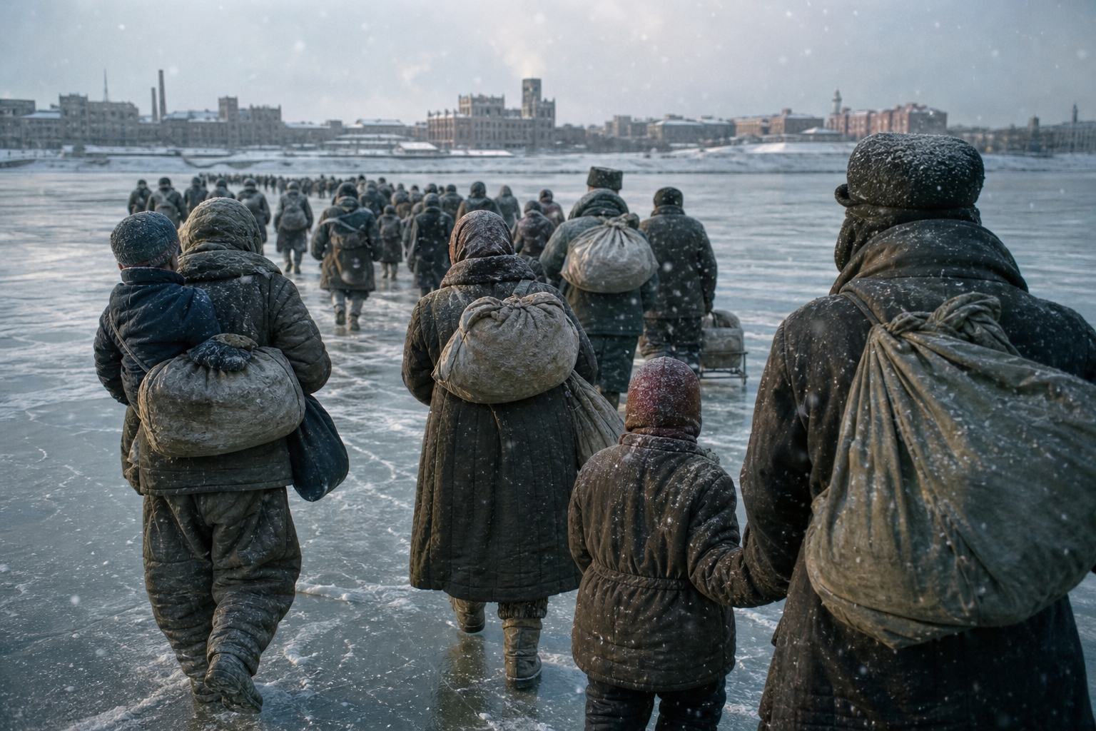
Winter 1951 Civilians cross a frozen river with their belongings. AI-generated still.
28 Jun 1950 taken by the North
28 Sep 1950 retaken by the UN side
4 Jan 1951 taken by Chinese and North Korean forces
Mar 1951 retaken by the UN side
Seoul changes hands
MacArthur relieved
replaced by General Matthew Ridgway
11 April 1951
Fighting stalls in the first half of 1951
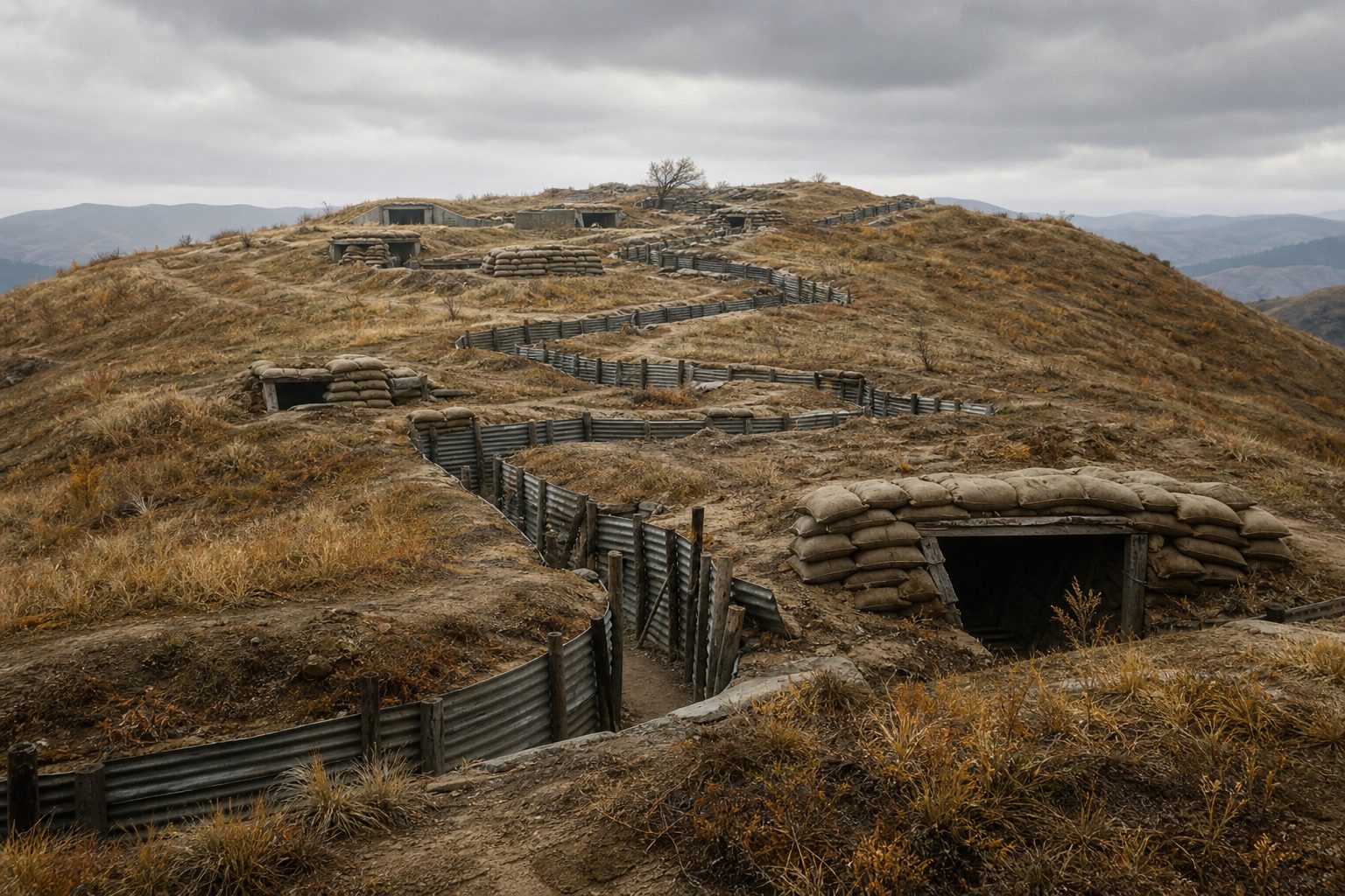
Trenches a little over a mile apart
Battles for single hills
A war of position
Chapter III · War
Back and forth
Wikipedia, Korean War: Chinese and North Korean forces captured Seoul for the second time on 4 January 1951, and a UN counter-offensive took it back two months later. Miller Center: on 11 April 1951 President Truman relieved MacArthur after he made his own offer to meet the Chinese and sent a letter to Congressman Joseph Martin criticising the president’s peace effort; General Matthew Ridgway took over. IWM: fighting stalled in the first half of 1951, and for two years the armies faced each other in trenches little more than a mile apart.
The map is a teaching model: coastlines and today’s borders come from Natural Earth; front lines are drawn schematically from the dates in the sources, not surveyed positions.
Ceasefire talks opened at Kaesong on the tenth of July 1951, and later moved to the village of Panmunjom. They would last two years.
The hardest question was prisoners. Many held by the United Nations side did not want to go back to the North or to China, and the two sides argued over whether they could refuse.
In the end, more than twenty-two thousand North Korean and Chinese prisoners chose not to go home.
Meanwhile the soldiers fought on, for hills along a front that barely moved.
10 Jul 1951 Talks open at Kaesong
25 Oct 1951 Talks resume at Panmunjom
19 Jul 1953 Agreement on every agenda item
The talks
UN side: prisoners may refuse to go home
North Korea and China: all must be returned
Neutral nations handle those who refuse
The prisoner question
~150,000
held by the UN Command
~10,000
UN-side prisoners held by the other side
22,000+
North Korean and Chinese soldiers refused to go home
Prisoners at the endA front that barely moved Empty trenches along a bare hill crest. AI-generated still.
Chapter IV · The armistice
Talking while fighting
Wikipedia, Korean Armistice Agreement: talks began at Kaesong on 10 July 1951, resumed at Panmunjom on 25 October 1951, and reached agreement on all agenda items on 19 July 1953. At the end the communist side held about 10,000 UN-side prisoners and the UN Command about 150,000 communist prisoners; more than 22,000 KPA or PVA soldiers refused repatriation, as did 327 South Korean, 21 American and 1 British soldier. A Neutral Nations Repatriation Commission chaired by India’s General K. S. Thimayya handled those who refused.
The map is a teaching model: coastlines and today’s borders come from Natural Earth; front lines are drawn schematically from the dates in the sources, not surveyed positions.
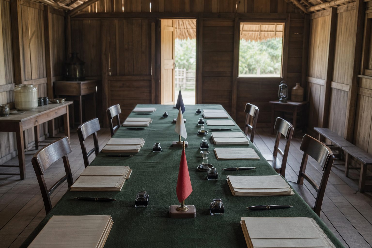
On the twenty-seventh of July 1953 the armistice was signed at Panmunjom by an American general for the United Nations Command and a North Korean general for the North Korean and Chinese armies.
South Korea's president, Syngman Rhee, refused to sign. The front line became the Military Demarcation Line, and each side pulled back two kilometres from it.
That made the Demilitarized Zone, four kilometres wide and about two hundred and fifty long. Compare it with the line of 1945.
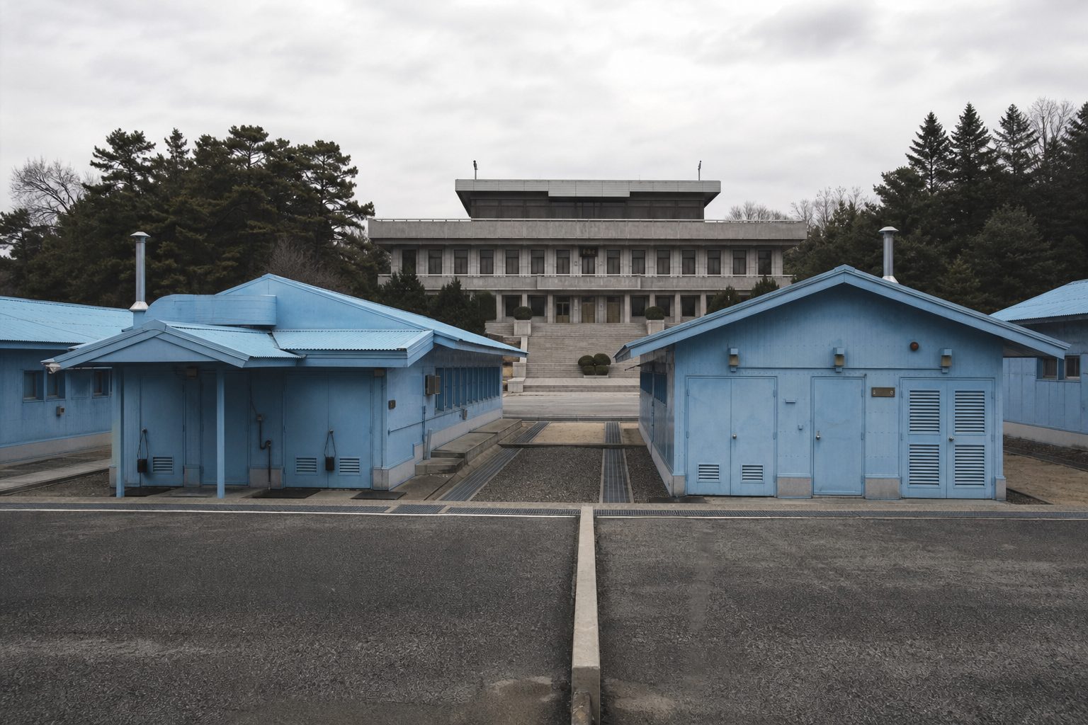
Since then, Panmunjom has been the meeting place for talks under the armistice, in huts built right across the line.
Panmunjom, 27 July 1953 A table set for signing, with no one yet seated. AI-generated still.
Did not sign
President Syngman Rhee wanted Korea unified
South Korea
2 km
each side pulls back from the line
4 km
total width
~250 km
length, coast to coast
The Demilitarized ZoneThe Joint Security Area Blue huts straddle the demarcation line, the meeting place for talks under the armistice. AI-generated still.
Chapter IV · The armistice
An armistice, not a peace
Wikipedia, Korean Armistice Agreement: signed at Panmunjom on 27 July 1953 by Lt Gen William K. Harrison Jr. for the UN Command and General Nam Il for the Korean People’s Army and the Chinese People’s Volunteers; it took effect twelve hours later. Mark W. Clark, Kim Il Sung and Peng Dehuai are also listed as signatories. South Korea never signed: President Syngman Rhee refused to accept the failure to unify Korea by force. No peace treaty followed. Wikipedia, Korean Demilitarized Zone: each side withdrew 2,000 m from the front, creating a zone about 4 km wide and about 250 km long; the Military Demarcation Line runs down its centre; the Joint Security Area at Panmunjom has hosted the talks held under the armistice, and the line runs down the middle of its conference tables.
Try it: switch between the 38th parallel of 1945 and the armistice line of 1953. The line now runs north of the parallel in the east and south of it in the west.
The map is a teaching model: coastlines and today’s borders come from Natural Earth; front lines are drawn schematically from the dates in the sources, not surveyed positions.
The war's toll is still debated. Estimates put military deaths at around one million, and civilian deaths at somewhere between one and a half and three million.
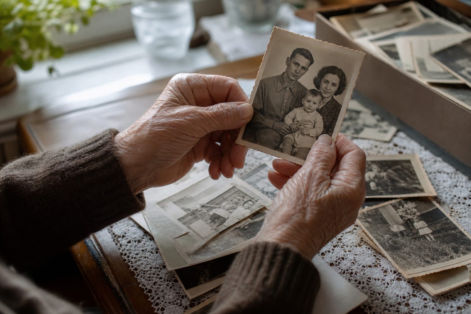
Cities were ruined on both sides, and countless families were split by a line they could no longer cross.
A conference in Geneva in 1954 made no progress towards a peace treaty, so the armistice simply stayed in place.
Military, all sides
~1
Civilians
1.5–3
Deaths, by estimate (ranges) Military dead or missing: about 210,000 on the South and UN side, 600,000–630,000 on the North, Chinese and Soviet side (Wikipedia’s table).
Families divided Old family photographs. AI-generated still.
No treaty
the armistice remains a military ceasefire
Geneva, 1954
Chapter IV · The armistice
The cost of the war
Wikipedia, Korean War: the war caused around one million military deaths and an estimated 1.5 to 3 million civilian deaths; the article’s table lists about 210,000 military dead or missing for South Korea and the UN forces and about 600,000–630,000 for North Korea, China and the USSR. Figures differ between sources and remain debated. Wikipedia, Korean DMZ: the 1950–1953 war claimed over three million lives. Wikipedia, Korean Armistice Agreement: the 1954 Geneva Conference made no progress on a peace treaty, and the armistice remains a military ceasefire.
The map is a teaching model: coastlines and today’s borders come from Natural Earth; front lines are drawn schematically from the dates in the sources, not surveyed positions.
Seven decades on, the two Koreas have grown very differently. South Korea has about fifty-two million people, North Korea about twenty-six million.
South Korea's central bank estimates that income per person in the South is about twenty-nine times that in the North. Compare population and income.
North Korea publishes almost no economic data, so these numbers are estimates, but the gap is not in doubt.
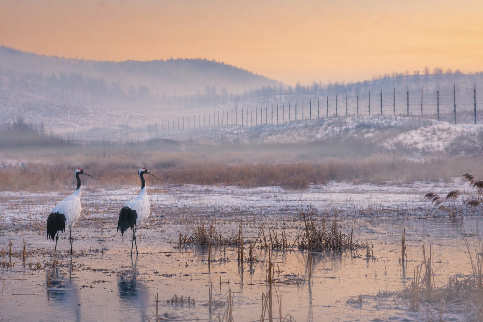
The Demilitarized Zone, almost untouched for seventy years, has become a refuge for wildlife, including rare cranes.
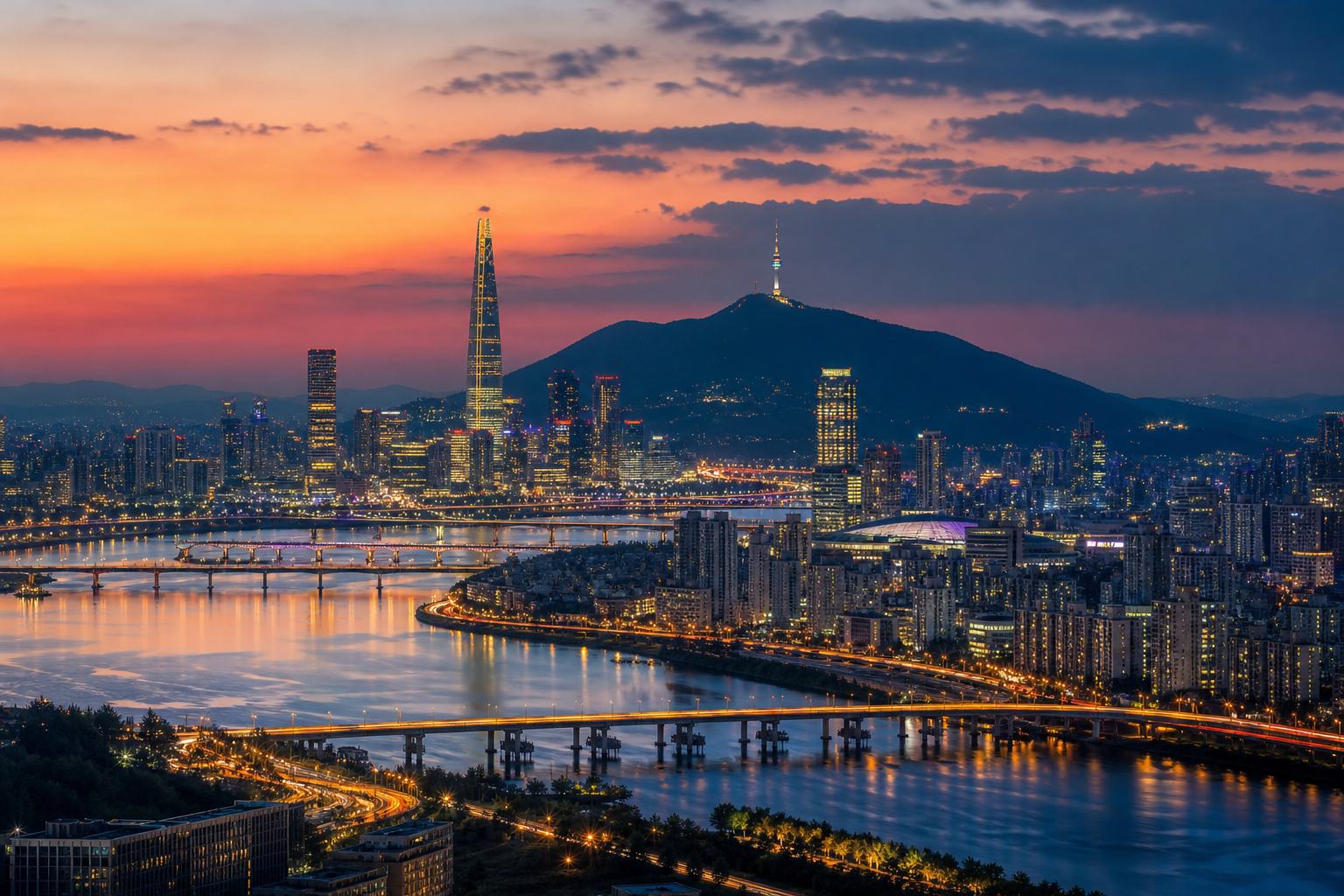
A capital at dusk A modern skyline on a wide river. AI-generated still.
South Korea
50.1
North Korea
1.7
Income per person, 2024 (Bank of Korea estimate) Gross national income per person: about 29 times higher in the South.
+3.7%
growth, the fastest since 2016 (Bank of Korea estimate)
North Korea’s economy, 2024Wildlife in the DMZ Cranes in a winter wetland beside a border fence. AI-generated still.
6,000+
species of plants and animals recorded
100+
of Korea’s 267 endangered animal species
A refuge
Chapter V · Two Koreas
Two very different countries
Korea Economic Institute of America, reporting Bank of Korea estimates for 2024: North Korea’s per capita gross national income was about 1.719 million won against 50.12 million won in South Korea, about 29 times higher in the South; North Korea’s population was about 25.8 million and South Korea’s about 51.8 million; North Korea’s economy grew 3.7% in 2024. These are estimates: North Korea publishes little economic data. Wikipedia, Korean DMZ: over 6,000 species of plants and animals have been recorded there, including more than 100 of Korea’s 267 endangered animal species.
Try it: “Population” and “Income per person” raise each country on the map by that number.
The map is a teaching model: coastlines and today’s borders come from Natural Earth; front lines are drawn schematically from the dates in the sources, not surveyed positions.
China remains North Korea's largest trading partner and its main backer. In recent years the North has also drawn closer to Russia, since Russia's full-scale invasion of Ukraine in 2022.
Kim's last trip to China was in September 2025, when he watched a military parade in Beijing beside Xi Jinping and Vladimir Putin.
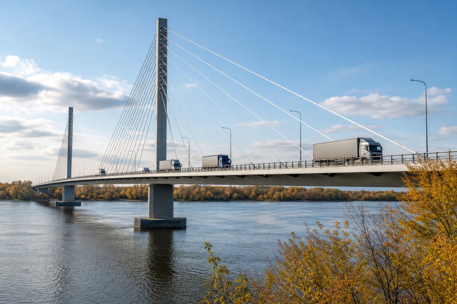
The new bridge, finished in 2014 but opened only this month, is meant to carry trucks and containers around the clock. On its far side lies a country still shaped by the war of 1950.
A bridge for trade Trucks on a cable-stayed bridge. AI-generated still.
China: largest trading partner and main backer
Russia: closer ties since 2022
Xi Jinping visited Pyongyang in June 2026
North Korea’s partners
$2.7 bn
total trade, mostly imports
North Korea’s trade, 2024 (Bank of Korea estimate)
Chapter V · Two Koreas
The bridge
Al Jazeera: China is North Korea’s largest trading partner and main economic and diplomatic backer; North Korea has drawn closer to Russia since Moscow launched its full-scale invasion of Ukraine in 2022; Xi Jinping made a state visit to North Korea in June 2026. The New Yalu River Bridge, completed in 2014, is expected to carry two-way traffic around the clock, including container shipments and heavy trucks. CBS News: Kim’s previous visit was in September 2025, when he met Xi and watched a military parade in Beijing alongside Vladimir Putin; North Korea has sent thousands of troops and weapons to support Russia’s war in Ukraine. Korea Economic Institute of America (Bank of Korea estimates): North Korea’s total trade in 2024 was about US$2.70 billion, of which about US$2.34 billion was imports.
The map is a teaching model: coastlines and today’s borders come from Natural Earth; front lines are drawn schematically from the dates in the sources, not surveyed positions.
A line chosen for a surrender in 1945 became a border, then a battlefront, then a ceasefire line that has held for more than seventy years.
For the people on either side, it is not only history. It is the shape of the country they live in.
Will there ever be a peace treaty? Could the two Koreas one day reunite? Those questions remain open, on both sides of the line.
1910 Japan annexes Korea
1945 Liberation; the 38th parallel
1948 Two states
1950 War; China enters in October
1953 Armistice; the DMZ
2026 A new bridge to China
How Korea was divided
73 years
since the armistice of 27 July 1953
0
peace treaties signed
A long ceasefire
Stills are AI-generated
Front lines on the map are schematic
Casualty and income figures are estimates
About this film
A peace treaty to replace the armistice?
Reunification, and on whose terms?
Families still waiting to meet
Still open
Epilogue · Sources
Sources
Every fact in this film comes from the sources below. The chapter stills and pictures are AI-generated illustrations and show no real people. The map uses Natural Earth coastlines and borders; the front lines of 1950–1953 are drawn schematically from the dates in the sources. Casualty figures and North Korean economic figures are estimates and differ between sources.