At the end of October 2026 Somali pirates hijacked the Iranian fishing vessel Azini off Puntland, and the Maritime Security Centre for the Indian Ocean warned it could become a mother ship. This film explains the fundamentals: the sea road past the Horn of Africa and the monsoon that sets the pirates' season, Somalia's state collapse in 1991 and the fishing grievance, the business of skiffs, mother ships and ransoms, the peak of 2008 to 2011, what international law says piracy is, the UN resolutions, navies, transit corridor and ship defences that drove it down after 2012, and why analysts link its return since late 2023 to the Red Sea crisis.
Interactive 3D film9 min1991 to 2026Published 3 November 2026
Fifteen years ago, men in small open boats were holding hundreds of sailors for ransom off the Horn of Africa. Then the attacks almost stopped.
Now, at the end of October 2026, twelve pirates have seized an Iranian fishing boat, the Azini, off northeastern Somalia, with twenty-three people aboard, according to the Associated Press.
A maritime security centre warned it could become a mother ship, a floating base for attacks on cargo ships. How did this piracy begin, how was it stopped, and why is it back?
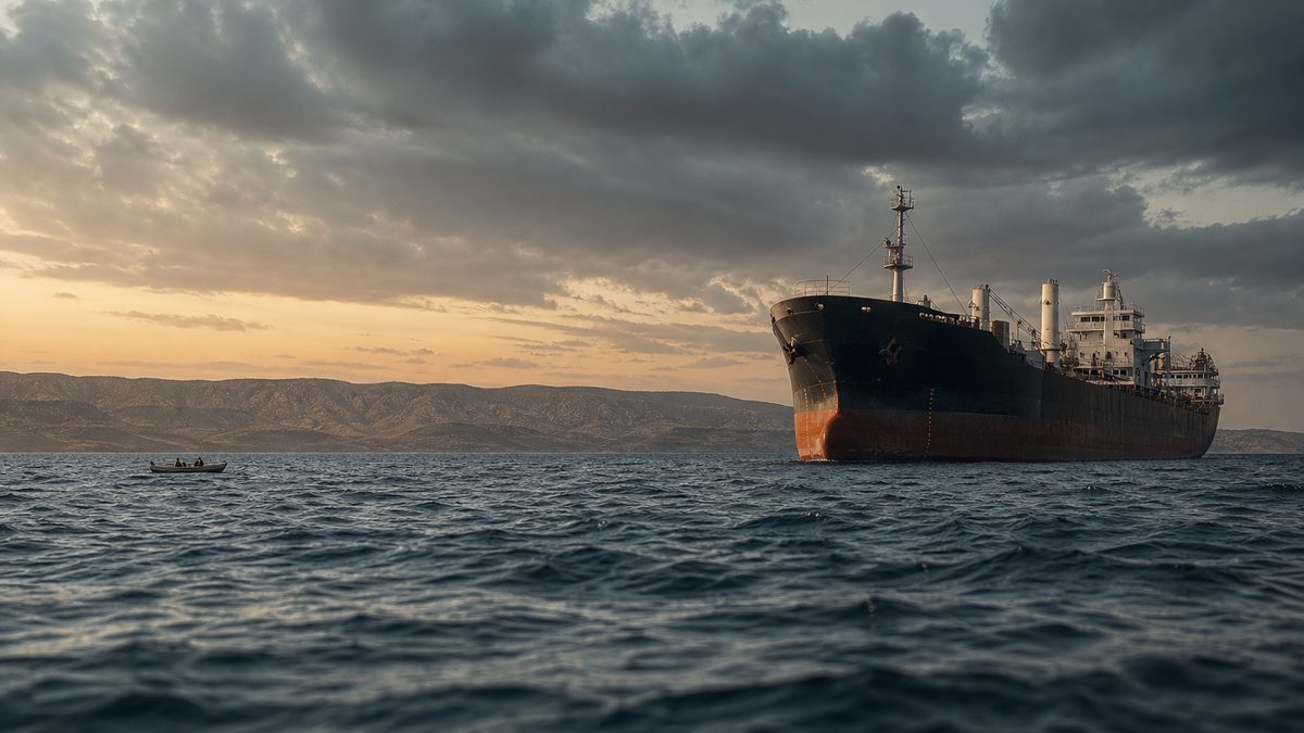
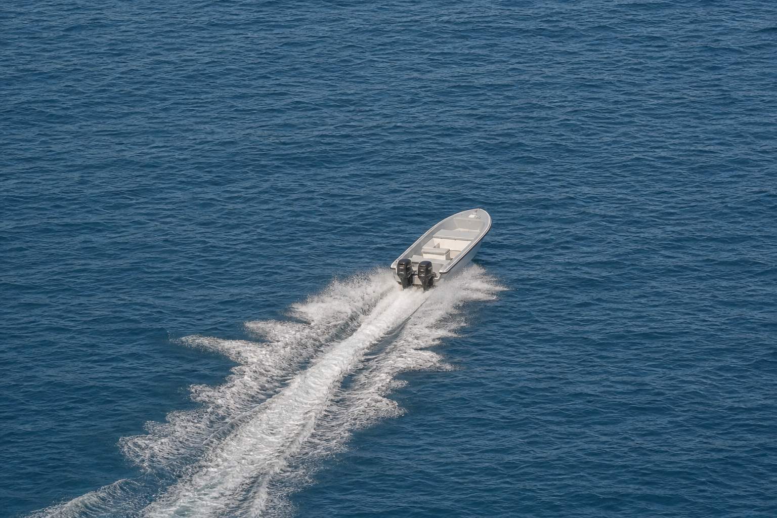
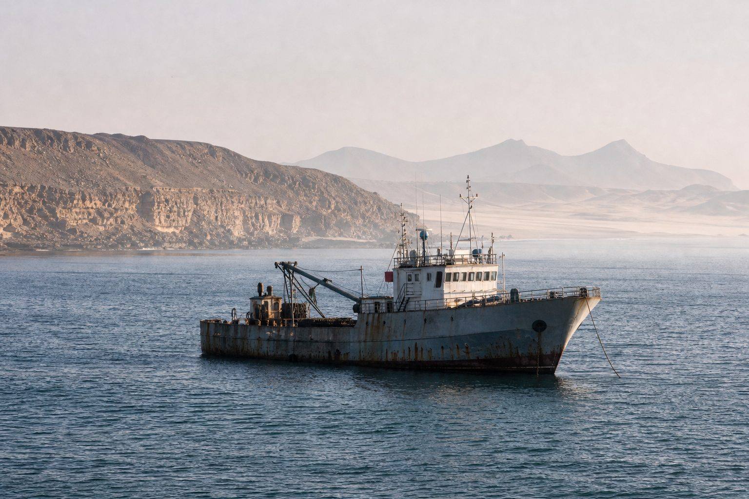
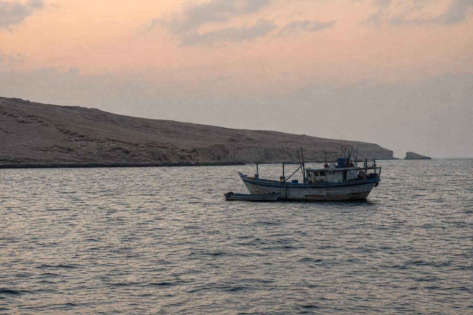
A skiff An open fibreglass boat with outboard engines: cheap, fast, and easy to hide among fishing boats. AI-generated illustration.Off Puntland A steel fishing vessel off an arid coast: AP says the Azini was taken between the towns of Bandar Bayla and Hafun. AI-generated illustration.
23
aboard: 21 Iranian crew and 2 Somali guards
12
pirates, according to a Puntland police officer
The Azini (AP, 1 Nov 2026)
Maritime Security Centre – Indian Ocean: warning to ships
EU naval force, Operation Atalanta: investigating
Ships nearby: told to report anything suspicious
Who is watching
Prologue
A fishing boat, seized
AP (1 November 2026, via ABC News and Arab News): the Iranian fishing vessel Azini was hijacked on a Thursday between the coastal towns of Bandar Bayla and Hafun in northeastern Somalia, with 21 Iranian crew and two Somali security guards aboard; a Puntland Maritime Police Force officer said 12 pirates took it. The Maritime Security Centre – Indian Ocean warned that the ship was approaching a commercial shipping lane and that pirates could use it as a “mother ship” to support attacks on commercial vessels. The EU naval operation Atalanta is investigating. AP also reported that pirates had hijacked six commercial vessels between April and August 2026.
The seizure is the hook; the rest of the film is the established history of Somali piracy. The place marked on the map is approximate.
The map comes from Natural Earth data; ships, routes, dots and the ship model are schematic, not to scale.
Look at the map. Ships sailing between Europe and Asia by the shortest route pass the Horn of Africa, the corner of the continent where Somalia sits.
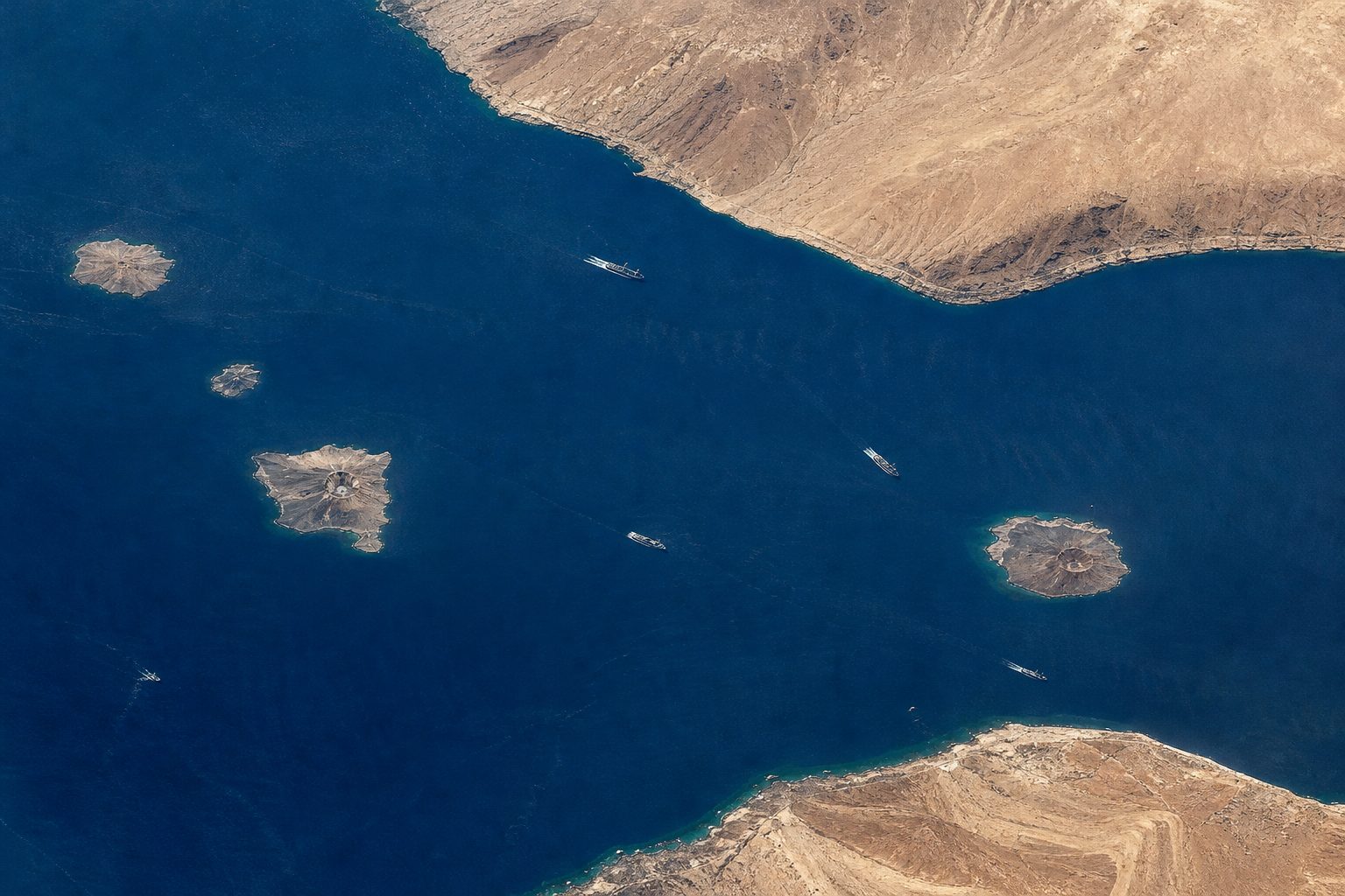
They leave the Red Sea through the Bab el-Mandeb, a strait about thirty kilometres wide, and cross the Gulf of Aden, a lane of water between Yemen and Somalia.
Then they fan out across the Arabian Sea, toward the Gulf, India and East Asia. Somalia's own coast is about three thousand kilometres long, the longest on the African mainland.
A narrow door A strait between two desert coasts, with two shipping channels each about two miles (3 km) wide. AI-generated illustration.
≈ 29 km
wide at its narrowest (18 miles)
6.2 m b/d
of oil and products through it in 2018
Bab el-Mandeb (EIA)
≈ 3,000–3,300 km
of coastline, on the Gulf of Aden and the Indian Ocean (sources differ: CIA Factbook 3,025 km, Nairobi Convention 3,333 km)
Somalia
2023
≈ 26,000
2025
≈ 12,700
Ships through the Suez Canal (AFP) Fewer in 2025, as many ships avoided the Red Sea after attacks on shipping there.
Chapter I · The sea road
The sea road past the Horn
US Energy Information Administration (2019): the Bab el-Mandeb is 18 miles wide at its narrowest point, limiting tanker traffic to two 2-mile-wide channels; about 6.2 million barrels a day of crude oil and products passed in 2018, and a closure would force tankers around the southern tip of Africa. AFP (2026): the strait is about 30 km wide and 100 km long; about 26,000 ships transited the Suez Canal in 2023, falling to 12,700 in 2025. WorldAtlas: Somalia’s coastline, on the Gulf of Aden and the Indian Ocean, is the longest of any country on the African mainland. Sources differ on its length: 3,025 km in the CIA World Factbook, 3,333 km according to the Nairobi Convention.
The 2025 Suez figure is lower because many ships avoided the Red Sea after attacks on shipping there; chapter VI comes back to that.
The map comes from Natural Earth data; ships, routes, dots and the ship model are schematic, not to scale.
The ocean itself sets the rhythm. From about late May to August, the southwest monsoon blows across the Arabian Sea, with strong winds and waves up to six or seven metres. Switch between the seasons on the map.
In seas like that, small open boats struggle, so attacks off the ocean coast usually fall, while the more sheltered Gulf of Aden stays active.
When the monsoon ends in September, the sea calms and the attacks pick up again.
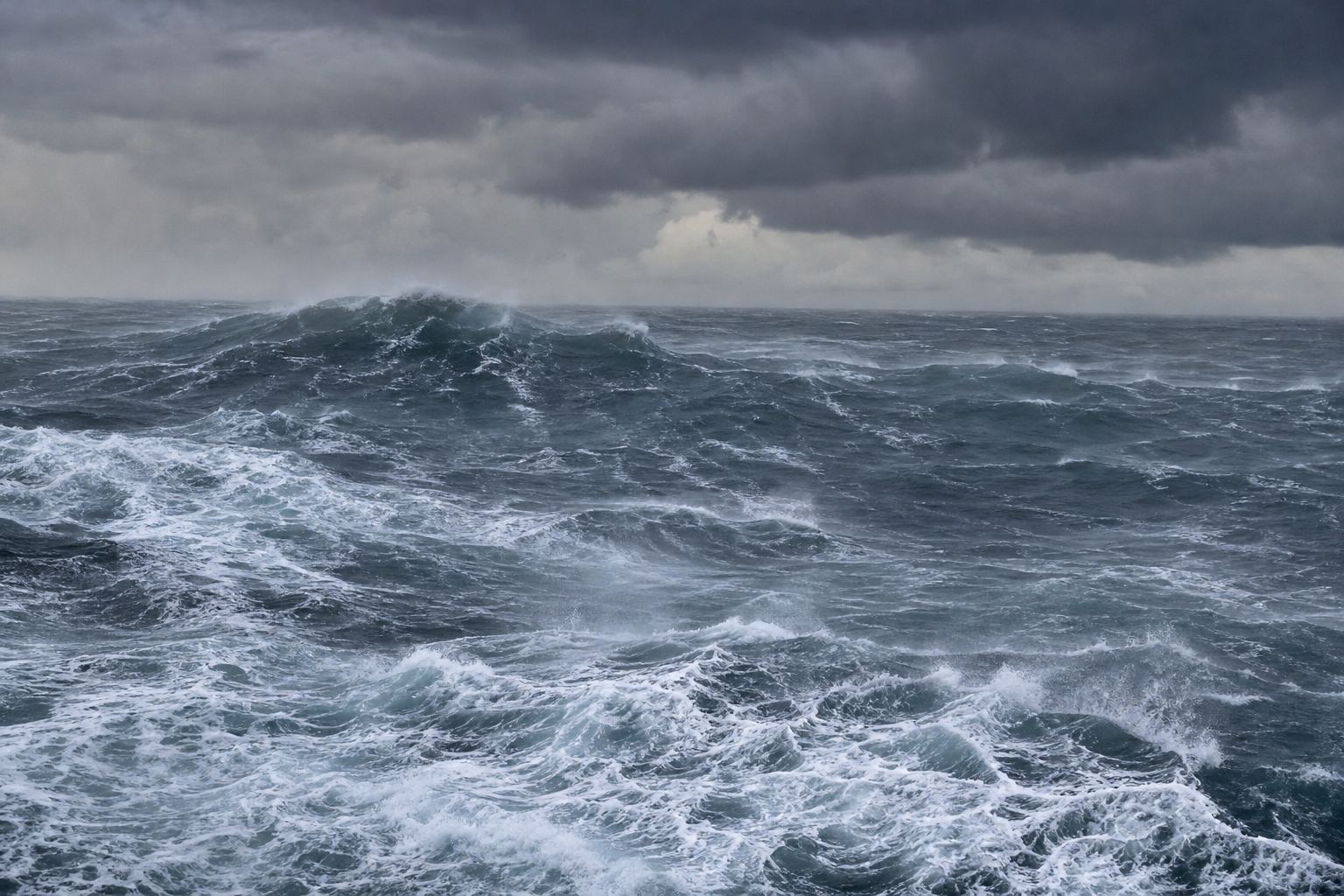
Monsoon swell Steep grey seas and blown spray: no weather for an open boat with an outboard engine. AI-generated illustration.
23–28 kn
winds, gusting to 35
6–7 m
seas once it is established (20–24 ft)
Southwest monsoon (2010 advisory)
Open ocean: weather likely to cut attacks
Gulf of Aden: activity continues, the sea is less severe
During the monsoon (2010 advisory)
mid-Sep
the monsoon ends; calmer water is “conducive” to skiffs
After the monsoon (BIMCO, US ONI, 2010)
Chapter I · The sea road
The pirates’ season
UK War Risks / Thomas Miller (2010), citing US and other maritime authorities: the southwest monsoon usually sets in around late May or early June and lasts through most of June, July and August, with winds of 23–28 knots, gusts to 35, and seas up to 20–24 feet; weather will likely reduce the number of attacks, but activity continues in the Gulf of Aden, where conditions are less severe. Baird Maritime (September 2010), from BIMCO and the US Office of Naval Intelligence: as the monsoon ends in mid-September, calmer waters become “conducive for pirate small boat operations”.
Try it: switch the monsoon on and off. Whitecaps, wind arrows and boats are schematic.
The map comes from Natural Earth data; ships, routes, dots and the ship model are schematic, not to scale.
Why Somalia? In January 1991 its military ruler, Siad Barre, was overthrown in a civil war fought by clan-based militias.
The fighting went on, and for years there was no effective central government. In the north, Somaliland declared independence; in 1998 Puntland, in the northeast, declared itself autonomous.
With no state, there was no navy and no coast guard. In the words of one 2019 study, Somali waters were left without any legitimate force to guard them.
1969 Siad Barre takes power
Jan 1991 Overthrown in civil war
1991 Somaliland declares independence
1998 Puntland declares autonomy
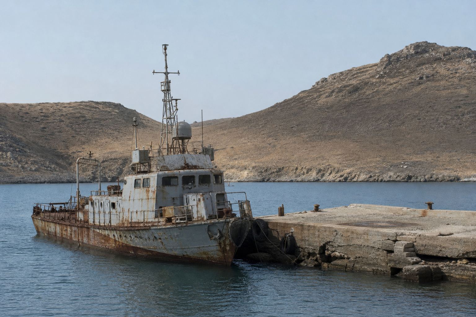
Somalia (Britannica)No one to patrol A rusting patrol boat at an empty pier: a picture of a coast with no state behind it. AI-generated illustration.
Somali waters were left without legitimate capacity for enforcement of maritime sovereignty.Glaser, Roberts and Hurlburt, Frontiers in Marine Science, 2019
Chapter II · A coast without a state
A coast without a state
Britannica: Siad Barre ruled Somalia from October 1969 until January 1991, when he was overthrown in a civil war fought by clan-based guerrillas; fighting continued and the country lacked an effective central government into the 21st century. Somaliland declared independence in the north in 1991, and Puntland declared itself autonomous in 1998. Glaser, Roberts and Hurlburt (Frontiers in Marine Science, 2019): after the collapse of the federal government, Somali waters were left without legitimate capacity for enforcement of maritime sovereignty or boundary integrity.
Somaliland’s independence is not recognised by the UN; the film names the regions as they describe themselves without taking a side. The glow marks the territory of Somalia including Somaliland.
The map comes from Natural Earth data; ships, routes, dots and the ship model are schematic, not to scale.
Into that unguarded sea came foreign fishing fleets. One study estimates that in 2014, foreign vessels caught almost twice as much fish in Somali waters as Somalia's own fishers.
According to researchers, many coastal Somalis saw this as theft, and early pirate gangs claimed to be defending the coast.
But the same researchers note that armed men also sold licences to foreign boats, and in 2008 the UN envoy for Somalia said the pirates were not out to protect their environment.
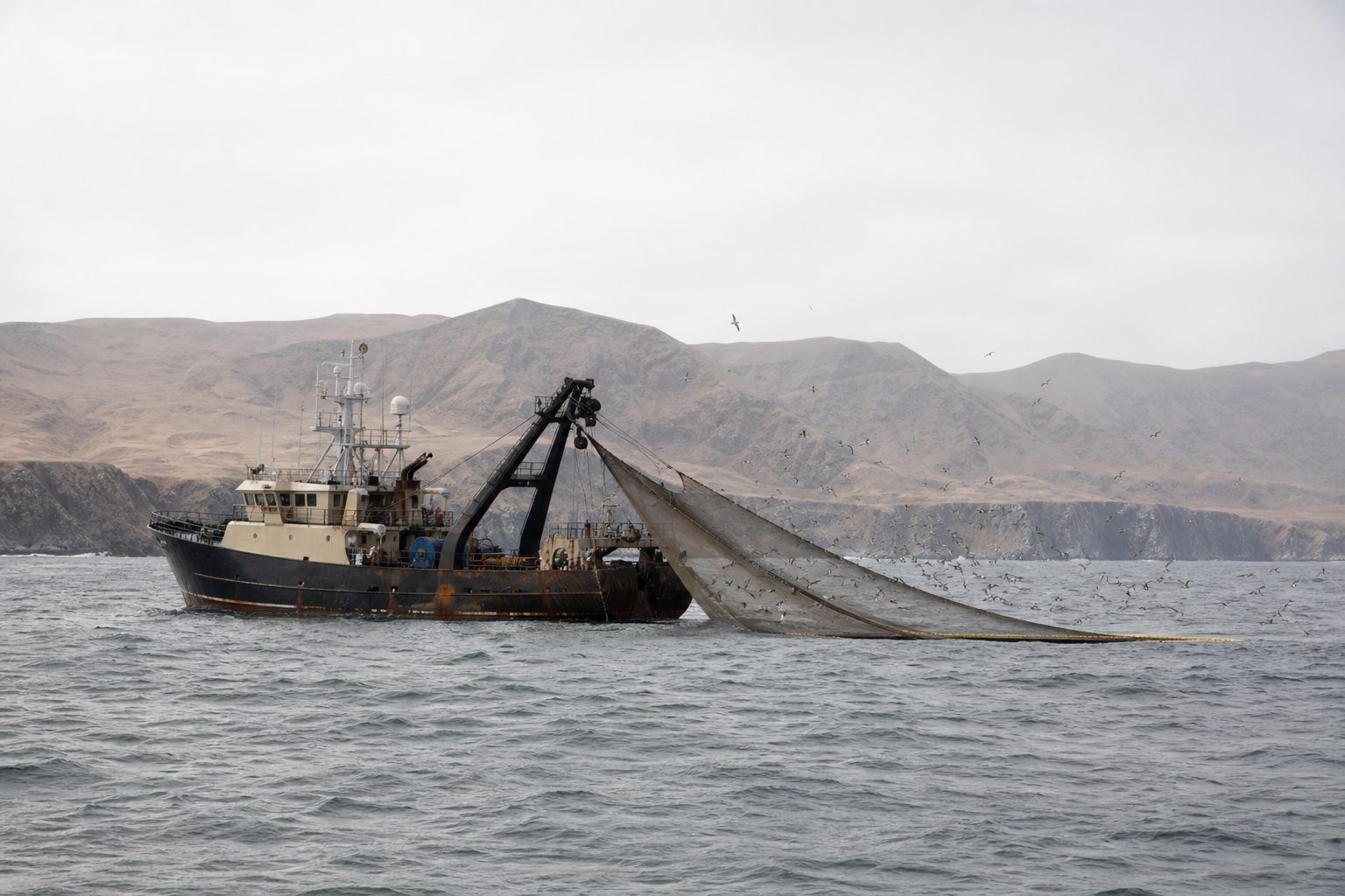
Foreign trawlers Surveyed fishermen said much illegal fishing took place 5 to 50 km from shore. AI-generated illustration.
92,500 t
by foreign vessels (estimate)
≈ 1.7×
the Somali fleet’s own catch
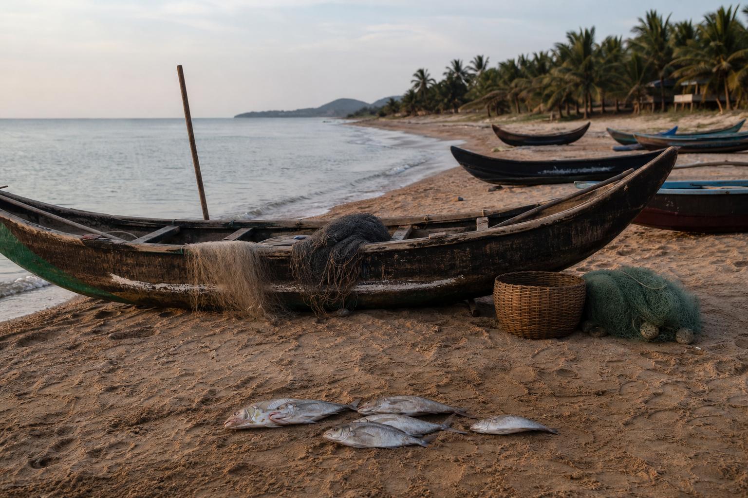
Fish caught in Somali waters, 2014 (Glaser et al.)A living from the sea In a 2014 survey, 86% of Somali fishermen said they had seen foreign fishing vessels near their villages in the past year. AI-generated illustration.
The intentions of these pirates are not concerned with protecting their environment.Ahmedou Ould-Abdallah, UN envoy for Somalia, to Al Jazeera, 2008
In the same interview he confirmed that toxic waste had been dumped off Somalia.
Chapter II · A coast without a state
The fishing grievance
Glaser, Roberts and Hurlburt (2019): foreign fishing in Somali waters rose most rapidly in the 1990s after the federal government collapsed; they estimate foreign vessels caught 92,500 tonnes in 2014, almost twice the Somali domestic catch. They write that illegal foreign fishing “provided a form of moral justification for the rise of piracy”, while noting that warlords sold licences to foreign vessels in return for protection, and that piracy is not an inevitable response to foreign fishing. Adeso / University of Rhode Island (2016): 86% of surveyed fishermen had seen foreign vessels near their villages; much illegal fishing was 5–50 km from shore. Al Jazeera (2008): UN envoy Ahmedou Ould-Abdallah confirmed reports of toxic-waste dumping off Somalia, but said the pirates’ intentions “are not concerned with protecting their environment”.
Catch figures are estimates with wide uncertainty. Both accounts are given: the grievance as Somalis and researchers describe it, and the doubts about the pirates’ motives.
The map comes from Natural Earth data; ships, routes, dots and the ship model are schematic, not to scale.
The attacks followed a pattern. Small fibreglass skiffs, some as fast as forty-five kilometres an hour, came up on a ship, most often around dawn or dusk.
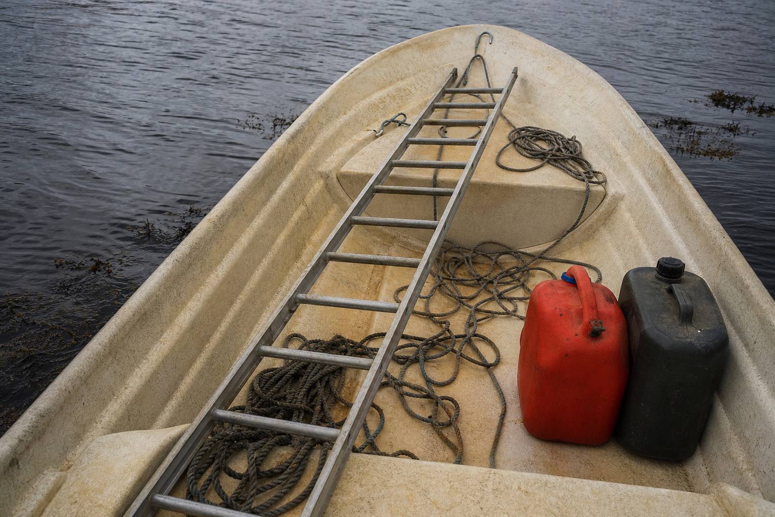
With long light ladders and hooked poles, the attackers tried to climb aboard and reach the bridge, the room the ship is steered from.
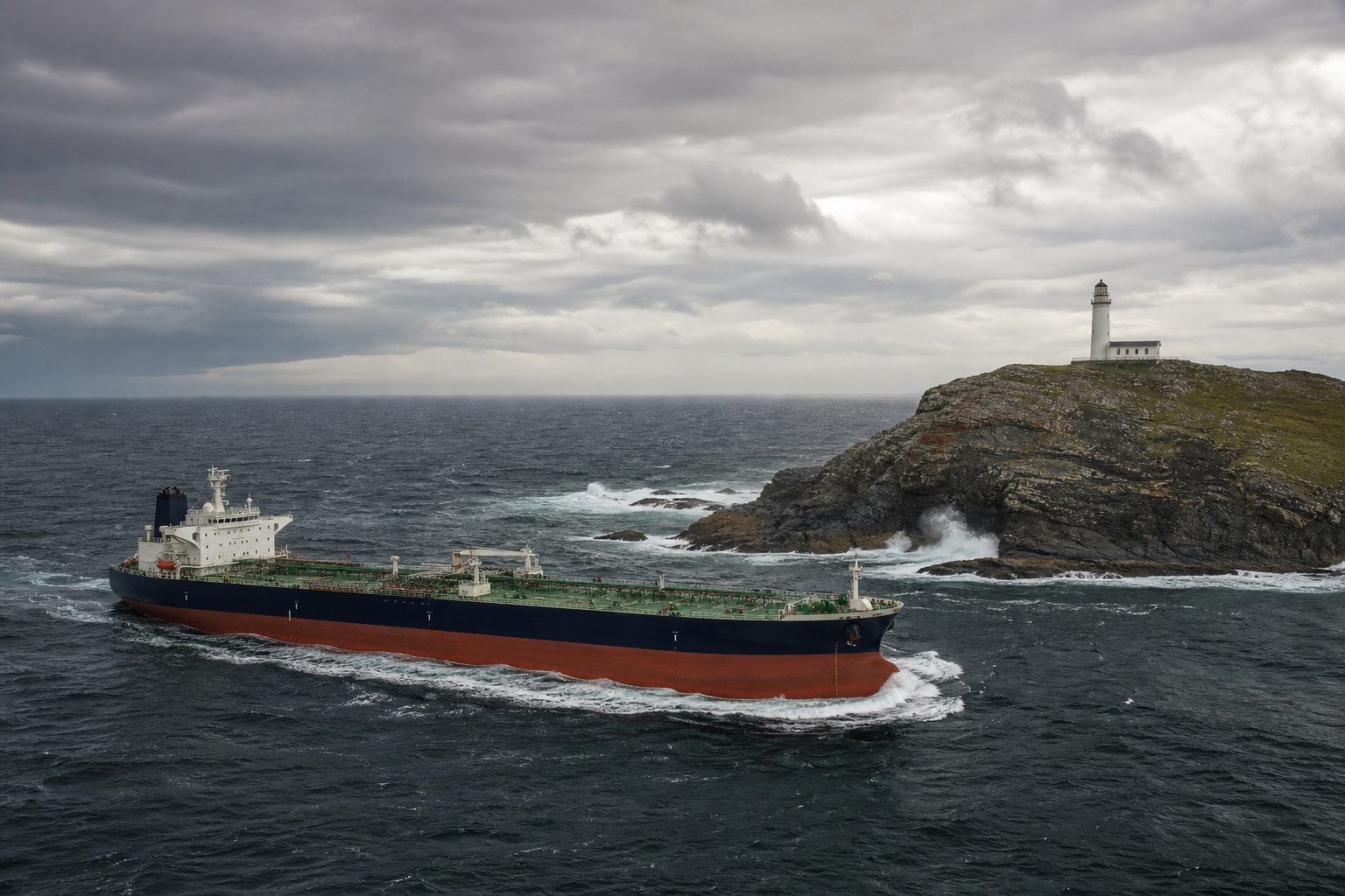
But a skiff carries little fuel. So pirates used mother ships, often dhows or captured fishing boats, which towed the skiffs far out to sea and rode out rougher weather. That is why the seized Azini worries navies today.
25 knots
top speed, about 46 km/h
dawn, dusk
the likeliest times, though attacks came at any hour
Pirate skiffs (BMP5)Climbing gear BMP5 lists long lightweight ladders, knotted ropes and long hooked poles. AI-generated illustration.
Mostly dhows, sometimes captured vessels
Extend the pirates’ range
Less affected by weather
Skiffs hidden on board or towed
Mother ships (BMP5)
6
commercial ships hijacked, April–August 2026
1
fishing boat, the Azini, seized in October: a possible mother ship
Why it matters now (AP, 2026)
Chapter III · The business
Skiffs and mother ships
BMP5 (2018), the shipping industry’s guidance: pirate action groups use small, high-speed open boats or skiffs, capable of up to 25 knots; open whalers carry fuel and often tow attack skiffs; mother ships, mostly dhows, extend the pirates’ range and are less affected by weather, and skiffs may be carried on board and camouflaged. Attackers use long lightweight ladders, knotted climbing ropes or long hooked poles; the bridge and accommodation are the main targets; attacks can happen at any time but dawn and dusk are more likely.
The 3D model shows boats only: no people and no weapons. Not to scale.
The real prize was not the cargo but the ship and its crew. Hijacked ships were taken to anchorages off the Somali coast and held until a ransom was paid.
A 2013 study led by the World Bank estimated that three hundred and thirty-nine to four hundred and thirteen million dollars in ransoms were paid between 2005 and 2012.
Most of it went not to the men in the skiffs but to financiers, who took thirty to seventy-five percent; an ordinary pirate got one to two and a half. The cost to world trade: about eighteen billion dollars a year.
A business Ransoms were paid in cash; the study found the money laundered partly through the khat trade. AI-generated illustration.
$339–413 m
ransoms paid, 2005–2012 (estimate)
59
financiers in the study’s sample
Pirate Trails (2013)
Financiers
30–75%
An ordinary pirate
1–2.5%
Who got the ransom? (estimated share)
$18 bn
a year added to the cost of world trade
The wider bill (World Bank)
Chapter III · The business
Ransoms
World Bank, UNODC and INTERPOL, “Pirate Trails” (1 November 2013): between US$339 million and US$413 million was paid in ransoms for ships hijacked off Somalia and the Horn of Africa between 2005 and 2012. A sample of 59 financiers received an estimated 30% to 75% of the ransom money, while the ordinary pirates on the ships received 1% to 2.5% of the total. Ransom money was laundered partly through the khat trade. Piracy was estimated to add about US$18 billion a year to the cost of global trade.
All money figures are the study’s estimates. The pin at Eyl marks one of the coastal towns linked with pirate anchorages; positions are approximate.
The map comes from Natural Earth data; ships, routes, dots and the ship model are schematic, not to scale.
The International Maritime Bureau, part of the International Chamber of Commerce, logs attacks that ships report. In 2006 it counted ten off Somalia's coast; by 2008, counting the Gulf of Aden too, there were one hundred and eleven.
Step through the years on the map. In 2009 the pirates pushed out into the open ocean: two hundred and seventeen attacks, some nearly two thousand kilometres from the coast.
The peak came in 2011, with two hundred and thirty-seven. That January, according to the EU naval force, more than seven hundred hostages and thirty-two ships were being held.
Counting the attacks The IMB counts failed attacks as well as hijackings; by 2010 it was logging them off Kenya, Tanzania, the Seychelles, Madagascar and Oman. AI-generated illustration.
2008
111
2009
217
2010
219
2011
237
Attacks by Somali pirates, incl. Gulf of Aden (IMB)
217
attacks
47
ships hijacked
867
crew taken hostage
2009 (IMB)
700+
hostages held
32
ships held at pirate anchorages
January 2011 (EU NAVFOR)
Chapter IV · The peak
The peak
International Maritime Bureau (part of the International Chamber of Commerce) annual figures: 10 incidents reported in Somali waters in 2006 and 31 in 2007, a narrower count than the later Somali totals, which include the Gulf of Aden; 111 in 2008, with 42 ships hijacked, concentrated in the Gulf of Aden; 217 in 2009, with 47 hijacked and 867 crew taken hostage, many around 1,000 nautical miles off Mogadishu from October; 219 in 2010 with 49 hijackings; 237 in 2011 with 28 hijackings, about 54% of attacks worldwide. In the first quarter of 2010 the IMB said some attacks had taken place 1,000 nautical miles from the Somali coast, spreading to waters off Kenya, Tanzania, the Seychelles, Madagascar and Oman. EU NAVFOR (via Maritime Executive, 2016): in January 2011 over 700 hostages and 32 vessels were held in pirate anchorages.
Try it: step through the years. Counts are the IMB’s; where each dot sits is schematic. 2006 and 2007 are left off the chart and the map because the IMB counted them on a narrower basis.
The map comes from Natural Earth data; ships, routes, dots and the ship model are schematic, not to scale.
Stretch the range out from the coast on the map. Mother ships turned the western Indian Ocean into a hunting ground, from the coast of Oman to the Seychelles and toward Madagascar.
In April 2009, pirates boarded the American-flagged container ship Maersk Alabama, about four hundred kilometres off Somalia. No US-flagged ship had been captured by pirates since the 1820s.
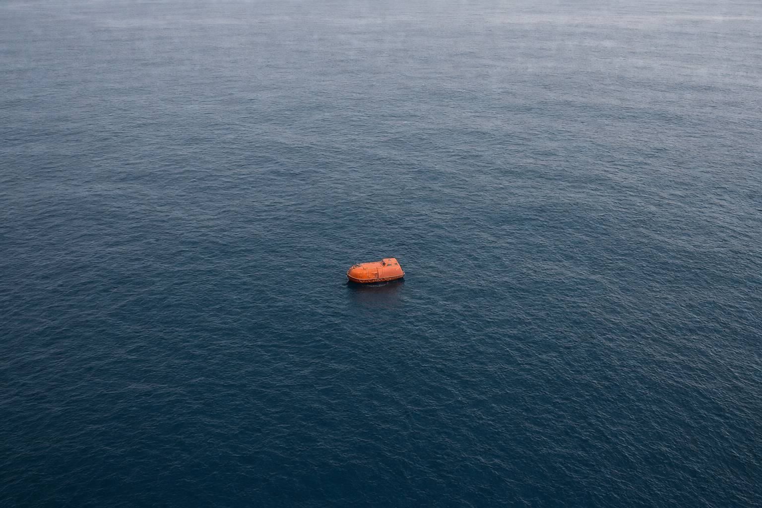
The captain was held in one of the ship's lifeboats until the twelfth of April, when the US Navy rescued him.
1,000 nmi
from the Somali coast: where some attacks took place
≈ 1,850 km
the same distance on land
How far? (IMB, 2010)
8 April Boarded about 240 miles (≈ 400 km) off Somalia
8–12 April Captain held in a lifeboat
12 April Rescued by the US Navy
Maersk Alabama, 2009 (HISTORY)A lifeboat An enclosed orange lifeboat alone on the ocean; the US had warned ships to stay at least 600 miles (≈ 1,000 km) off Somalia. AI-generated illustration.
Chapter IV · The peak
Ever further out
IMB (first quarter of 2010): attacks had taken place 1,000 nautical miles from the Somali coast, possible only through mother ships; Somali piracy was spreading to waters off Kenya, Tanzania, the Seychelles, Madagascar and Oman. HISTORY.com: on 8 April 2009 pirates hijacked the Maersk Alabama about 240 miles off Somalia, although a US government warning had advised ships to stay at least 600 miles away; pirates had not captured a US-flagged ship since the 1820s; the captain was held in a lifeboat and rescued by the US Navy on 12 April.
Try it: skiffs alone, then 500 and 1,000 nautical miles. The “skiffs alone” ring is a schematic size, not a measured figure.
The map comes from Natural Earth data; ships, routes, dots and the ship model are schematic, not to scale.
In law, piracy is a crime that any country may punish on the high seas, the open ocean beyond every country's own waters.
But inside Somali waters, foreign navies needed permission. In 2008, with the consent of Somalia's transitional government, the UN Security Council gave it.
Any illegal acts of violence or detention, or any act of depredation, committed for private ends … on the high seas, against another ship.UN Convention on the Law of the Sea, 1982
UNCLOS, Article 101(a)(i)Trials far from the sea By 2016 EU NAVFOR had handed 154 suspects to the EU and regional states for prosecution. AI-generated illustration.
2 June 1816: navies may enter Somali waters, six months
7 Oct 1838: states urged to send warships and aircraft
2 Dec 1846: renewed for 12 months
16 Dec 1851: measures “in Somalia”
UN Security Council, 2008
Chapter V · Fighting back
What the law says
UN Division for Ocean Affairs and the Law of the Sea: under UNCLOS Article 101, piracy consists of illegal acts of violence or detention, or acts of depredation, committed for private ends by the crew or passengers of a private ship or aircraft, directed on the high seas against another ship or aircraft; under Article 105, on the high seas every state may seize a pirate ship and arrest the persons on board; Article 100 requires all states to cooperate in repressing piracy. UN Security Council: resolution 1816 (2 June 2008, unanimous, with Somalia’s consent) let states cooperating with the Transitional Federal Government enter Somalia’s territorial waters for six months and use “all necessary means”; resolution 1838 (7 October 2008) called on states to take part by deploying naval vessels and military aircraft and to use “the necessary means” against piracy on the high seas off Somalia; resolution 1846 (2 December 2008) renewed the 1816 authority for 12 months; resolution 1851 (16 December 2008) authorised “all necessary measures that are appropriate in Somalia”. Each applies only to Somalia and does not establish customary international law. In 2008 resolution 1816 was passed with the consent of Somalia’s Transitional Federal Government.
A hijacking inside a country’s territorial sea (12 nautical miles) is legally “armed robbery at sea”, not piracy; the resolutions cover both.
The map comes from Natural Earth data; ships, routes, dots and the ship model are schematic, not to scale.
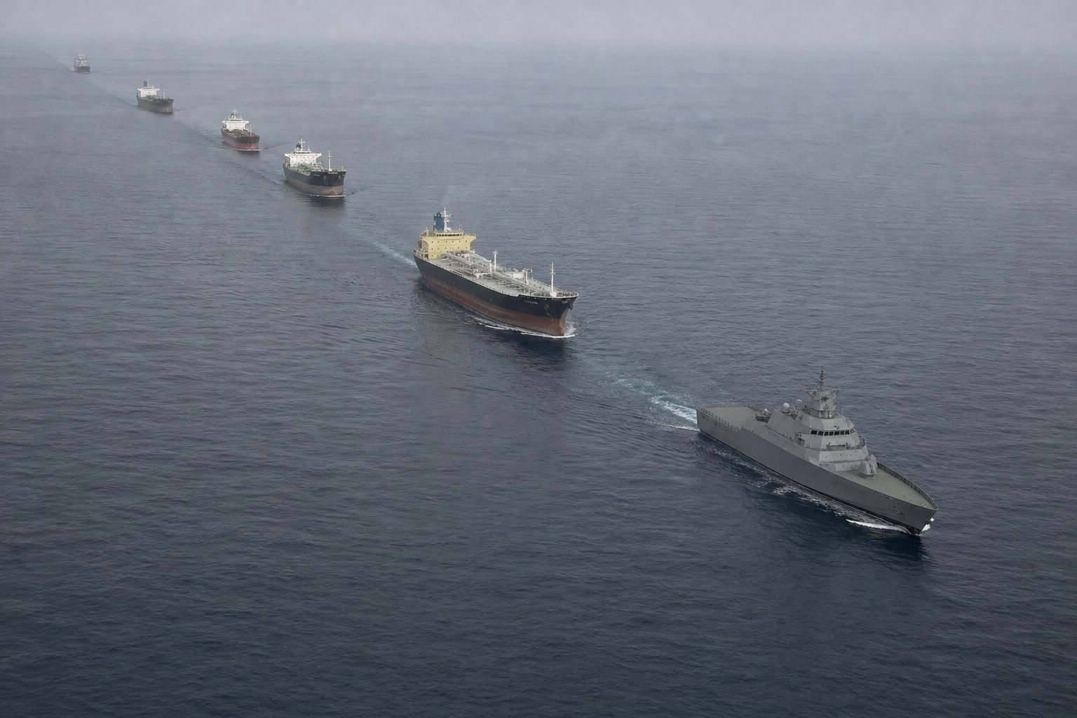
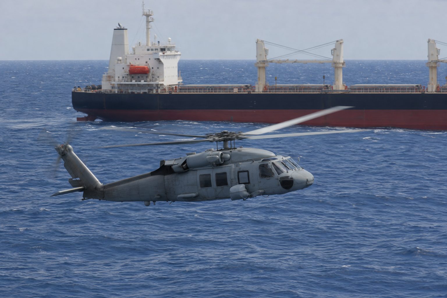
Warships arrived. In December 2008 the European Union launched Operation Atalanta, its first naval operation, to protect food-aid ships and deter piracy.
In January 2009 a multinational task force under a US commander was set up just for piracy, and NATO ships patrolled until the end of 2016.
In the Gulf of Aden, ships were routed into a corridor: two lanes, each about nine kilometres wide, with a buffer between them. Compare the two ways of crossing on the map.
Warships could watch one strip of sea, and merchant ships crossed it in groups.
An escort EU NAVFOR said every World Food Programme ship under its protection stayed safe from pirate attack. AI-generated illustration.Eyes in the air The task force, CTF-151, patrolled the Gulf of Aden, the Arabian Sea, the Indian Ocean and the Red Sea. AI-generated illustration.
8 Dec 2008 EU: Operation Atalanta
Jan 2009 Combined Task Force 151: multinational, under a US commander
2009–2016 NATO: Ocean Shield
Feb 2009 Revised Gulf of Aden corridor
The navies arrive
2 × 5 nmi
two lanes, each about 9 km wide
2 nmi
buffer between them, about 4 km
45°–53° E
where the corridor runs
The corridor (West P&I, 2009)
Ships register with the EU’s MSCHOA centre
They time their passage to cross together
Warships patrol along the lanes
A group transit
Chapter V · Fighting back
Navies and a corridor
Operation Atalanta was launched on 8 December 2008 as the EU’s first naval operation, to protect World Food Programme vessels and other vulnerable shipping and to deter piracy; its mandate now runs to February 2027. EU NAVFOR (2016): all WFP vessels under its protection stayed safe from pirate attack. US Central Command (January 2009): Combined Task Force 151, a multinational task force commanded by US Navy Rear Admiral Terence McKnight, was set up to focus solely on piracy in the Gulf of Aden, Arabian Sea, Indian Ocean and Red Sea. NATO patrolled the area from 2009 and ended Operation Ocean Shield on 15 December 2016. West P&I (17 February 2009): the recommended Gulf of Aden corridor was changed to separate eastbound and westbound lanes, each 5 miles wide, divided by a 2-mile buffer, between 45° E and 53° E; group transits were coordinated through the EU’s MSCHOA centre.
Try it: ships on their own, then the corridor with group transits and patrols. Lanes are drawn three times wider than scale.
The map comes from Natural Earth data; ships, routes, dots and the ship model are schematic, not to scale.
Ships also learned to defend themselves; switch the defences on and off. Industry guidance tells crews to post extra lookouts, run at full speed, string razor wire along the rails, and keep a citadel, a locked safe room.
In 2011 the International Maritime Organization, the UN's shipping agency, issued guidance for ships carrying private armed guards, while saying it did not endorse them.
Together, it worked. Attacks fell from two hundred and thirty-seven in 2011 to seventy-five in 2012 and fifteen in 2013.
The IMB credited all of these, along with a more stable government in Somalia.
The citadel A citadel needs its own communications, food and water; the master decides when the crew goes in. AI-generated illustration.
Extra lookouts, fully briefed
Maximum speed, small helm changes
Razor wire in a double roll on the rails
A citadel with radio, food and water
Best Management Practices (BMP5)
Not intended to endorse or institutionalize their use.IMO guidance on armed guards, May 2011
It applies only where the ship’s flag state judges armed guards lawful and appropriate.
2011
237
2012
75
2013
15
Attacks by Somali pirates (IMB)
Naval forces in the region
Ship defences and Best Management Practices
Private armed security teams
A more stable Somali government
Why it fell (IMB, 2014)
Chapter V · Fighting back
Why it fell
BMP5 (2018): extra, fully briefed lookouts; maximum speed and small helm changes during an approach; razor wire in a double roll, secured to the rails; a citadel with communications, food and water, used on the master’s decision; registration and reports to UKMTO and MSCHOA. Freeboard and speed are part of a ship’s risk assessment. IMO (May 2011): interim guidance on privately contracted armed security personnel, applying where a flag state judges it lawful and appropriate, and “not intended to endorse or institutionalize their use”. IMB: Somali attacks fell from 237 in 2011 to 75 in 2012 and 15 in 2013; it credited naval forces, ship defences and BMP, armed security teams and the stabilising influence of Somalia’s central government, and warned against complacency. NATO (2016): no commercial vessel had been captured since May 2012.
Try it: the same ship with and without its defences. The model shows boats and equipment only.
For years the sea stayed quiet. From 2017 to 2020, only five attacks by Somali pirates were recorded.
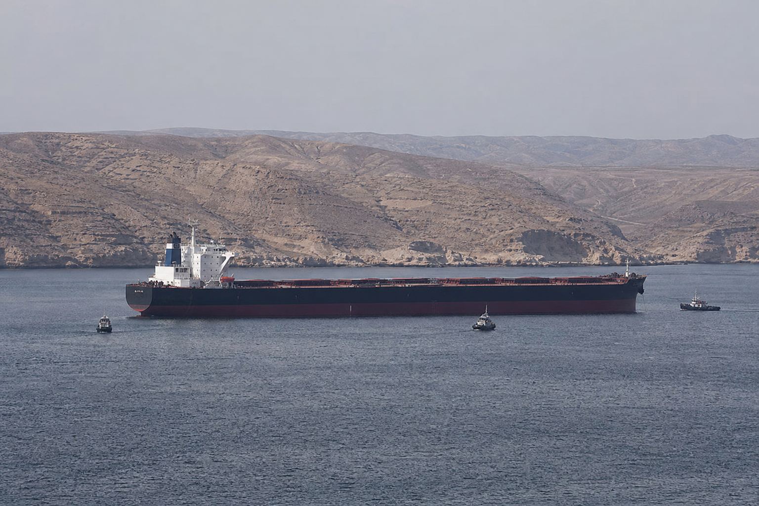
Then, in December 2023, pirates hijacked the bulk carrier Ruen, the first merchant ship taken in six years. India's navy freed it in March 2024 and detained thirty-five pirates.
Analysts point to the Red Sea. From late 2023, Yemen's Houthi movement attacked shipping there, and that drew warships away. A Somali researcher also cites political strife on land and foreign fishing boats.
In April 2024, a ransom of five million dollars was reportedly paid to free another ship, the Abdullah, and its crew.
A bulk carrier Ambrey said the Ruen was taken to a point nine miles off Bandar Murcaayo, Puntland. AI-generated illustration.
2017–2020 5 Somali pirate attacks in all
Dec 2023 Ruen hijacked
Mar 2024 Indian Navy frees the Ruen; 17 hostages rescued
Apr 2024 Abdullah released after a reported $5 m ransom
The return
Ian Ralby, I.R. Consilium: Red Sea attacks drew naval attention away
Abdinasir Yusuf, Puntland Development and Research Centre: political strife, foreign fishing
Two gang members, to Reuters: the distraction let them return
Why now? (as quoted by ADF)The long way round Ships avoiding the Red Sea sail around southern Africa, a voyage AP says can take up to a month longer for some oil cargoes. AI-generated illustration.
Chapter VI · The return
Why it came back
Africa Defense Forum (October 2024): only five Somali pirate attacks were recorded from 2017 to 2020; in December 2023 pirates hijacked the Maltese-flagged Ruen, the region’s first successful attack on such a ship in six years; the Indian Navy rescued it and 17 hostages in March 2024 and captured 35 pirates; the Bangladesh-flagged Abdullah was released after a reported $5 million ransom on 15 April 2024. Ian Ralby (I.R. Consilium) said Houthi attacks in the Red Sea drew naval attention away from Somali waters; Abdinasir Yusuf (Puntland Development and Research Centre) cited political strife and foreign fishing; two gang members told Reuters the distraction let them return. gCaptain / Reuters (December 2023): Ambrey assessed the Ruen as likely the first merchant hijacking by Somali pirates since the Aris 13 in 2017, and also pointed to political instability in Puntland.
The reasons are analysts’ explanations, given in their own words, not settled findings.
The map comes from Natural Earth data; ships, routes, dots and the ship model are schematic, not to scale.
In the first nine months of 2026, the IMB recorded eight hijackings worldwide, and all eight were by Somali pirates.
Most of the ships were released with their crews reported safe. But on one tanker, the Honour 25, Puntland authorities said five crew members died while it was held.
Yet the IMB says this wave is smaller in scale and reach than the piracy of 2008 to 2013, and that ships following the latest best practices kept pirates from taking control, even once boarded.
8 / 8
hijackings worldwide carried out by Somali pirates
94%
of crew taken hostage worldwide
IMB, Jan–Sep 2026A boat that can become a base A steel fishing vessel with a skiff alongside: from the air, hard to tell from an ordinary fishing boat. AI-generated illustration.
Strict adherence to BMP recommendations remains one of the most effective ways to deter hijacking attempts.Michael Howlett, IMB Director, October 2026
2025
116
2026
51
Incidents worldwide, Jan–Sep (IMB) Piracy and armed robbery of every kind, not only off Somalia.
Chapter VI · The return
2026
Baird Maritime (16 October 2026), on the IMB’s report for January–September 2026: Somali pirates carried out all eight hijackings recorded worldwide and accounted for 94% of crew taken hostage; most hijacked vessels were released with crews reported safe, except the tanker Honour 25, hijacked on 21 April, where Puntland authorities said five crew were killed (the report does not say how) before a rescue operation freed it in late September. The IMB said Somali activity is less extensive in scale and geographic reach than the deep-sea piracy of 2008–2013 (237 attacks in 2011), and that ships following the latest BMP prevented hijackings even when pirates boarded. Total incidents worldwide fell to 51 from 116 in the same period of 2025. AP (1 November 2026): the Azini was approaching a commercial shipping lane, and could be used as a mother ship.
Figures for 2026 are as reported in October and November 2026 and may change.
The map comes from Natural Earth data; ships, routes, dots and the ship model are schematic, not to scale.
So watch the Azini. A fishing boat that pirates can keep at sea is the kind of base that once carried skiffs far beyond the coast.
What happens next depends on what stopped piracy before: patrols, and ships that defend themselves. When the patrols thin out, the experts warn, it can come back.
Off Puntland AP: the seized Azini was approaching a commercial shipping lane when the warning was issued. AI-generated illustration.
1991 The Somali state collapses
2008 UN resolutions; Operation Atalanta
2011 Peak: 237 attacks
May 2012 Last commercial ship captured for years (NATO)
2023 Ruen hijacked: the return
2026 Azini seized
Piracy off Somalia
Epilogue · Sources
Sources
Every fact in this film comes from the sources below. The chapter stills and pictures are AI-generated illustrations and show no real people, ships or places. The map uses public-domain Natural Earth data; the routes, ships, attack dots, range rings and the ship model are schematic and not to scale. Contested figures, such as fish catches and ransoms, are estimates attributed to their authors; reasons for piracy’s rise and return are given as the cited researchers and analysts state them.