In late October 2026 AFP reported that Syria's new electronic textbooks had dropped some images, including statues emblematic of ancient Syrian civilisations, part of a wider debate over textbook changes; a year and a half earlier there had been an argument over whether Queen Zenobia would stay in the lessons. This film explains who she was and the city she ruled: Palmyra, or Tadmor, an oasis in the Syrian desert that grew rich on caravans between the Roman and Parthian empires; its temples, colonnaded street, bilingual tax law and tomb portraits; Odaenathus, who defended Rome's East against Persia; Zenobia, who ruled for her young son and took Egypt and much of Anatolia in 270 and 271; Aurelian's campaign of 272 and the city's destruction in 273; and the ruins today, from UNESCO listing in 1980 to the destruction of 2015 to 2017 and the debate over restoration.
Interactive 3D film9 minc. 1900 BC to AD 2026Published 1 November 2026
An oasis city between two empires, and the queen who defied Rome.
Queen Zenobia of Palmyra, whom Euronews has called one of Syria's most emblematic icons, ruled in the third century from Egypt to the heart of Anatolia.
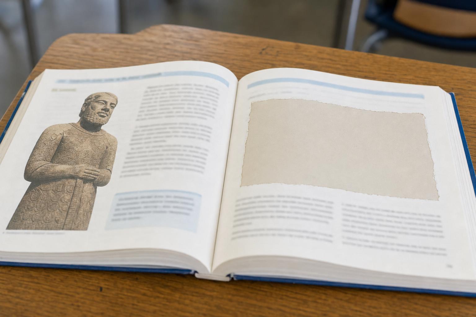
In late October 2026 the news agency AFP reported that Syria's new electronic textbooks had dropped some images, among them statues emblematic of ancient Syrian civilisations.
The education ministry said it had removed symbols of the former government, which fell in late 2024, and called some reports inaccurate. No report says Zenobia was removed this time.
Earlier, in February 2025, people had argued over whether she would stay in the lessons. So who was she, and what was her city?
A schoolbook page with an empty frame: an image of the kind of change AFP described, not one of the actual books. AI-generated illustration.
AFP: statue images gone from a grade 3 book
AFP: the Mona Lisa gone from a grade 7 history book
Ministry: symbols of the Assad era removed
Ministry (Euronews): some reports inaccurate
What was reported, 26–28 October 2026
Reports: the ministry might drop Zenobia from lessons
The minister: lessons unchanged while committees review them
February 2025, as reported by Euronews
Prologue
A row over textbooks
Al-Monitor, carrying an AFP report on 28 October 2026: AFP checked electronic versions of the new textbooks on official websites and confirmed several changes, among them that images of statues “emblematic of ancient Syrian civilisations” were removed from a third-grade social studies book and that an image of the Mona Lisa was removed from a seventh-grade history book. The ministry said the changes included “removing symbols of the defunct regime and its ideological content”. Critics, including the monitoring group IMPACT-se, said the changes went beyond routine revisions.
Euronews Arabic, 26 October 2026: the ministry called the circulating reports inaccurate and said the only edit since the fall of the former government was the one announced in January 2025. Neither report says that Zenobia or Palmyra were removed in 2026. Euronews, 23 February 2025: reports said the ministry was considering dropping Zenobia, “one of the country’s most emblematic icons”, from lessons; the minister said the curriculum would stay unchanged while specialised committees reviewed it. The Assad government fell in late 2024 (Wikipedia, Palmyra). This film takes no position on the curriculum; it explains the history behind the names.
Halfway between the Mediterranean coast and the river Euphrates lies an oasis, about two hundred and ten kilometres northeast of Damascus.
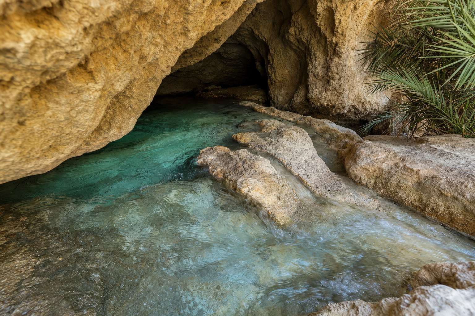
Its water came from Efqa, a spring used from the Stone Age until it dried up a few decades ago.
The place is named as Tadmor on clay tablets of the nineteenth and eighteenth centuries BC. Its later Greek and Latin name, Palmyra, is usually linked to its palms.
≈210 km
northeast of Damascus
≈200 km
west of the Euphrates, in a straight line
Where the oasis isA spring at the foot of a limestone hill, as Efqa may have looked when it still flowed. AI-generated illustration.
c. 7500 BC Stone tools near the spring
19th–18th c. BC “Tadmor” on tablets from Kültepe and Mari
11th c. BC Named in Assyrian royal annals
1st c. AD Pliny the Elder writes “Palmyra”
A very old name
Chapter I · The oasis
A spring in the desert
Britannica: Palmyra lies in south-central Syria, about 210 km (130 miles) northeast of Damascus, on an oasis roughly halfway between the Mediterranean and the Euphrates; the name appears in tablets from as early as the 19th century BC. Wikipedia: a contract from the Assyrian trading colony at Kültepe names a man “of Tadmor” around 2000–1800 BC, and Mari tablets of the 18th century BC write the name “Ta-ad-mi-ir”.
Getty Research Institute: the Efqa spring, west of the oasis, supplied water from a Neolithic settlement until it dried up only decades ago; Pliny the Elder (AD 23/24–79) named the town for its palms (Britannica says the Romans called it the city of palm trees). The straight-line distance to the Euphrates is our own measurement on the map and is approximate.
The map and the city are teaching models: coastlines and rivers come from Natural Earth; borders, routes and the city plan are drawn schematically from the sources, not surveyed.
By the first century AD Tadmor was a rich town under Roman control, attached to the province of Syria.
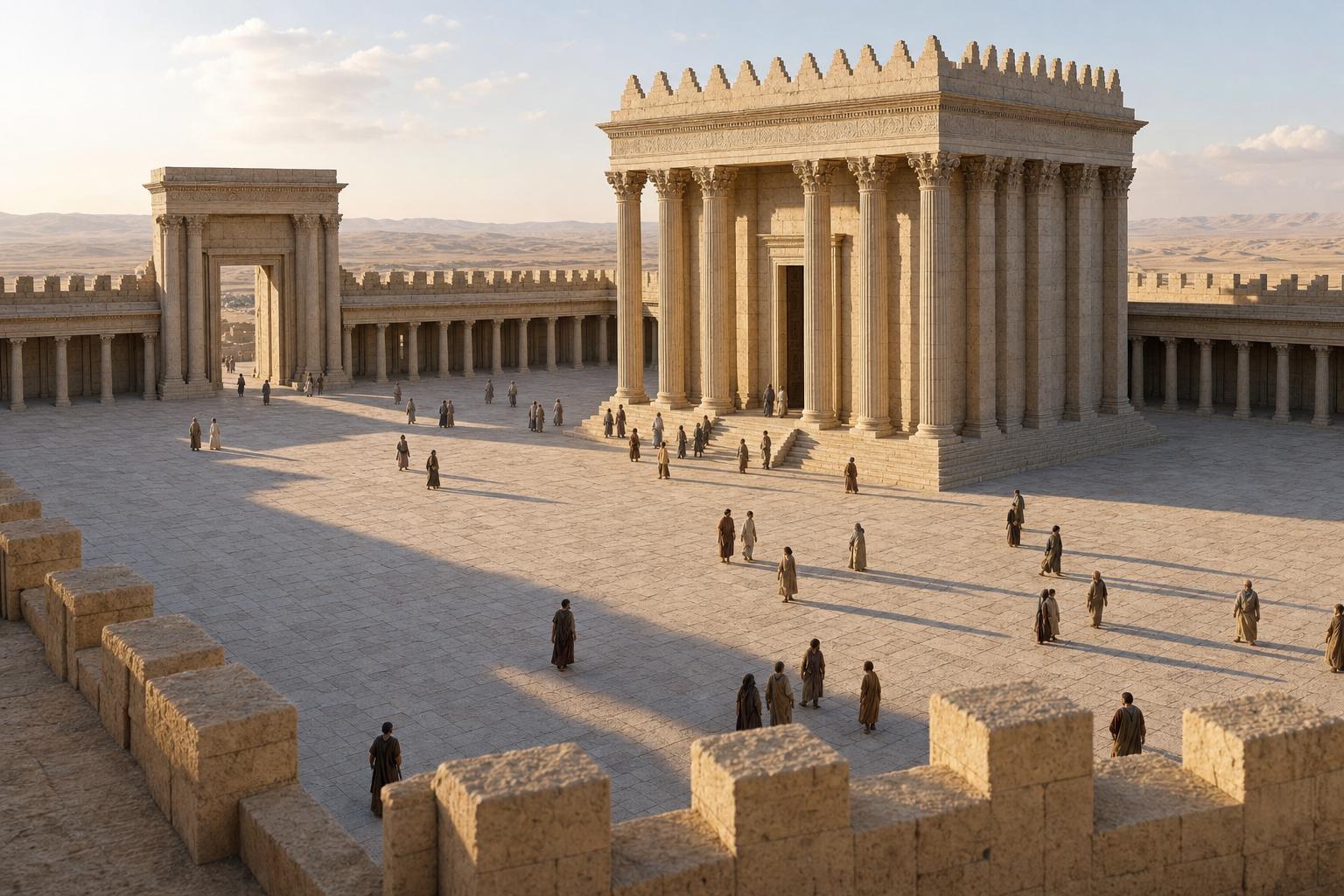
In April of the year 32 its people consecrated a great temple to their chief god, Bel, at the time of the Babylonian New Year: a sign that Bel's cult had roots in Mesopotamia.
From outside it looked Greek; inside, two shrines followed local tradition. That mix, West outside and East within, runs through the whole city.
Around the year 130 the emperor Hadrian visited, and the city added his name: Hadriana. Over the next century a colonnaded street more than a kilometre long was built, its columns carrying bronze statues of leading citizens.
April 32
dedication inscribed in the shrine
≈200 × 200 m
the walled court, room for thousands
2
inner shrines (adyta)
The sanctuary of BelThe sanctuary of Bel as it may have looked in the first century: the shrine stands alone in its walled court. AI-generated illustration.
AD 14–37 Under Roman control by Tiberius’s reign
AD 129/130 Hadrian visits; declared a “free city”
before 158 Work on the colonnade begins
early 3rd c. Caracalla makes it a Roman colony, exempt from some taxes
Palmyra and Rome
>1 km
long, in three sections
257–267
dates of inscriptions to Odaenathus and Zenobia on its columns
The Great Colonnade
Chapter I · The oasis
A temple, an emperor, a street
Getty: a dedicatory inscription in the cella dates the temple to AD 32; its court, about 200 m on each side, could hold thousands during festivals; the building looked outwardly Western but kept Eastern features for local cult, with two adyta for several cult images. The Getty essay adds that it was consecrated in April 32, at the Babylonian New Year, and that Bel’s title goes back to the Mesopotamian tradition of the god Marduk. Britannica: the sanctuary was dedicated to Bel, Yarhibol and Aglibol; Wikipedia: Bel was worshipped in a triad with the sun god Yarhibol and the moon god Aglibol.
Britannica: Rome controlled Palmyra by the time of Tiberius (AD 14–37); after visiting around 129 Hadrian declared it a free city (civitas libera, a city that ran its own affairs), and Caracalla later made it a colonia (a city with the status of a Roman colony) with tax exemption. The Getty essay dates the visit to 129/130 and gives the name Hadriana Tadmor; the Catholic Encyclopedia (1911) gives Hadriana Palmyra. French Ministry of Culture: the citizen Male, called Agrippa, paid for Hadrian’s stay early in 130 and for embellishing the Temple of Baalshamin, a weather god (Getty). Wikipedia, Great Colonnade: more than a kilometre long; the western stretch was begun before 158, the eastern after 175, the middle in the early third century; brackets carried bronze statues of important figures, and inscriptions to Zenobia and Odaenathus dated 257–267 stand on columns before the theatre. Wikipedia (Temple of Bel): a church in the Byzantine era, a mosque from 1132; Getty: the village in its court was moved out in 1929.
The map and the city are teaching models: coastlines and rivers come from Natural Earth; borders, routes and the city plan are drawn schematically from the sources, not surveyed.
Palmyra's wealth came from trade, and in April 137 its council had the rules carved in stone, in Greek and in Palmyrene Aramaic side by side.
The Palmyra Tariff, a slab more than five metres wide, lists taxes in denarii, Roman silver coins, on goods coming in and going out.
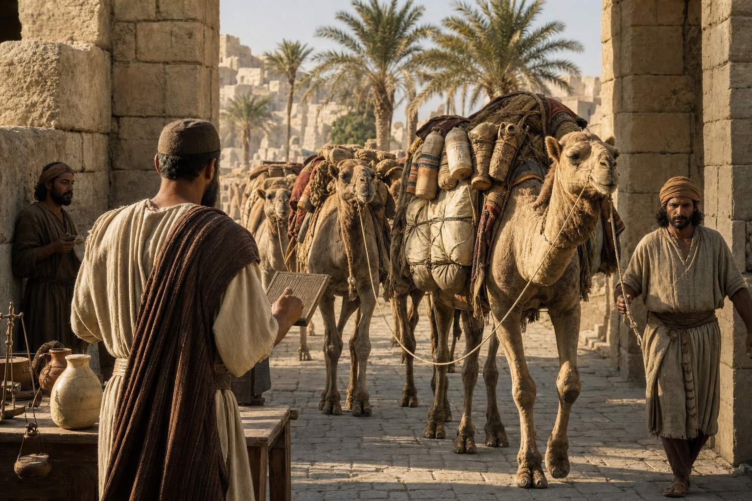
A camel load of perfumed oil in alabaster jars paid twenty-five to come in; in goatskins, thirteen. A wagon counted as four camels. Try loading a caravan in the calculator.
Loads were counted at the edge of town: caravans stayed outside and paid as they came in. AI-generated illustration.
18 Xandikos 448
= April AD 137 in the local calendar
5.45 m
wide; in the Hermitage since 1904
The Palmyra Tariff
Perfumed oil, alabaster
25
Perfumed oil, goatskins
13
Olive oil, 4 goatskins
13
Salt fish
10
Wheat, wine or fodder
1
Import tax per camel load, in denarii
Each slave brought in: 22 denarii
Each camel brought in: 1 denarius
Use of the water sources: 800 denarii a year
Provisions to and from Palmyrene villages: exempt
Also on the stone
Chapter II · Caravan city
A tax law in two languages
Ostia-antica.org: the Palmyrene customs law is a bilingual decree of the city council, in Greek and Aramaic, dated AD 137; the inscription is 5.45 m wide (about 2.8 m high); it was shown to a Russian prince in 1882, given to Russia by the sultan, and has been in the Hermitage Museum, St Petersburg, since 1904. Its dating line reads “in the year 448, on the 18th of the month Xandikos” (April 137).
Rates used in the calculator, import, per camel load (translation after J. F. Matthews, 1984): perfumed oil in alabaster vessels 25 denarii, in goatskins 13; olive oil in four goatskins 13; salt fish 10; a wagon load is assessed as four camel loads. The law also taxed slaves (22 denarii for each one brought in), camels brought in (1 denarius each) and the use of water sources (800 denarii a year); provisions carried to and from Palmyrene villages were exempt. Some figures on the stone are damaged and restored, and we left out every rate that is uncertain.
The map and the city are teaching models: coastlines and rivers come from Natural Earth; borders, routes and the city plan are drawn schematically from the sources, not surveyed.
Palmyra's merchants were go-betweens for two rival powers: Rome to the west, and the Parthian Empire to the east.
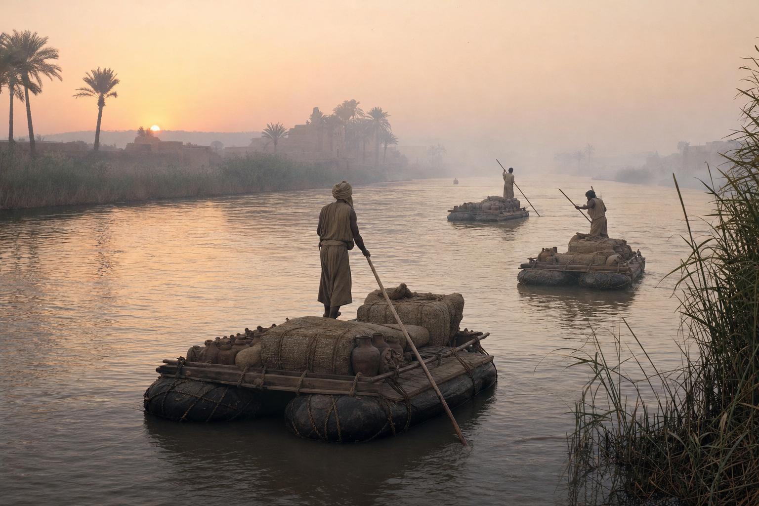
Their camel caravans crossed the desert to the Euphrates; the goods floated downriver to the Persian Gulf, and some Palmyrenes sailed on to India. Use the buttons to follow each leg.
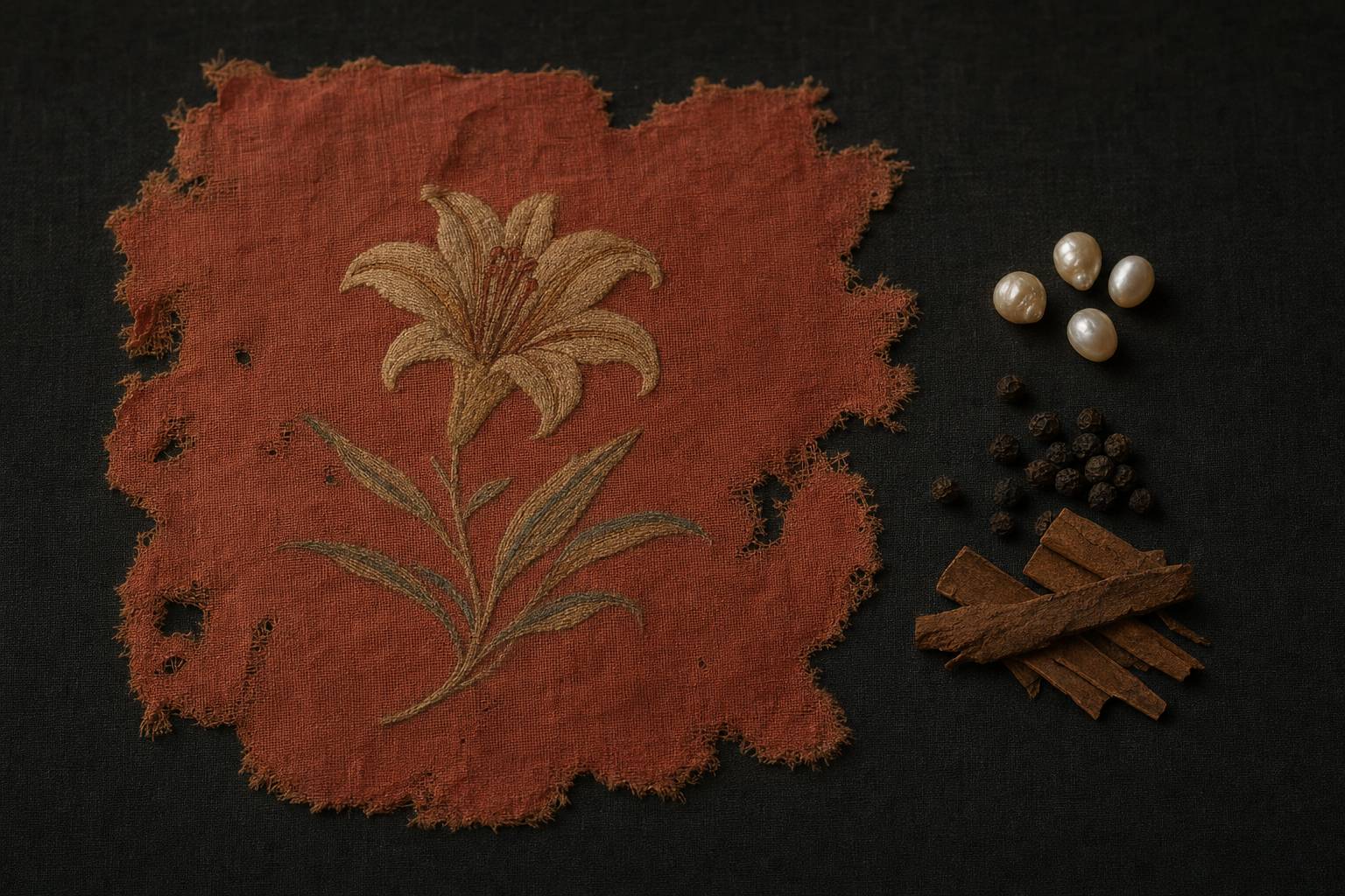
Their tombs held Gulf pearls and fragments of Chinese silk from the Han dynasty.
But in the 220s a new Persian dynasty, the Sasanians, replaced the Parthians, and the route to the Gulf closed to Palmyra's trade.
1st–3rd c.
Palmyra’s trading peak
Parthia
Rome’s rival beyond the Euphrates
Between two empiresRafts on inflated skins: one way to float loads down the Euphrates. AI-generated illustration.Rose-red silk with an embroidered lily, the kind of fabric UNESCO describes from Palmyra’s tombs, with pearls and spices. AI-generated illustration.
1st–2nd c. Trading posts from Vologesias to Spasinou Charax
224–227 The Sasanians take Persia
then The Gulf route closes to Palmyrenes
Trade and power
Chapter II · Caravan city
Go-betweens of the desert
French Ministry of Culture: Palmyrenes had trading posts at Seleucia on the Tigris, Babylon and Vologesias on the Euphrates, and Spasinou Charax and Phorath on the Persian Gulf, and some sailed as far as India; they knew the routes and water points, dealt with desert tribes and the Parthian Empire, and protected caravans with a militia. Goods from the Indian Ocean and silk from China were brought to caravanserais around the city.
Getty: caravans went by camel to the Euphrates, likely near Hit, and goods were rafted downstream to Gulf ports; monsoon winds allowed sailing east from June to October and west from November to May; Palmyrene traders sailed from Charax to the northwest coast of India; tombs held Gulf pearls and fragments of Han-dynasty silk. UNESCO describes a rose-red Chinese silk with an embroidered lily from Palmyra’s tombs. Britannica: when the Sasanians replaced the Parthians in the 220s, the route to the Persian Gulf closed to Palmyrene trade. Routes on the map are schematic.
The map and the city are teaching models: coastlines and rivers come from Natural Earth; borders, routes and the city plan are drawn schematically from the sources, not surveyed.
Palmyrenes wrote their Aramaic in an alphabet of twenty-two letters, often beside the same text in Greek. In 1754 one such pair let a French scholar decipher the script.
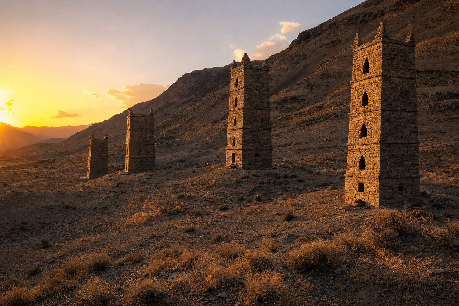
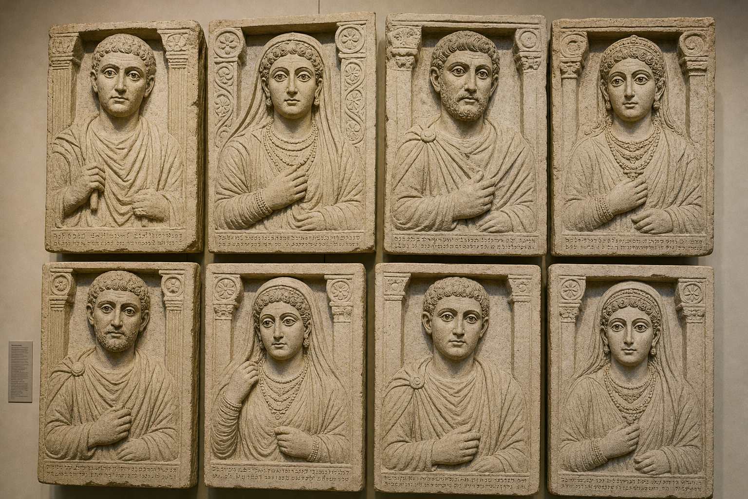
The dead were laid in tower tombs four or five storeys high. Many niches were closed by a carved portrait of the person inside, often with a name and one word of grief: alas.
22
letters, all consonants, read right to left
44 BC – AD 274
oldest and latest dated inscriptions
Palmyrene scriptTower tombs on the valley slopes west of the city, on the road toward Emesa. AI-generated illustration.Portrait slabs sealed the burial niches; half-length busts became common after about AD 65. AI-generated illustration.
Chapter II · Caravan city
Letters and faces
French Ministry of Culture: Palmyrene is a dialect of Aramaic, written from right to left in a 22-letter alphabet; in 1754 Jean-Jacques Barthélemy deciphered it from a bilingual Palmyrene–Greek inscription, matching a personal name in the Greek with the start of the Palmyrene text; his method later influenced Champollion. Wikipedia: the oldest known Palmyrene inscription is from 44 BC and the latest from AD 274.
French Ministry of Culture: tower tombs had several hundred niches (loculi) over four or five storeys; dated examples run from 9 BC (Atenatan) to AD 103 (Elahbel), and building them ended early in the 2nd century, when underground tombs took over. The Metropolitan Museum: carved reliefs with a short inscription sealed the niches, one of its slabs ends with a word rendered “Alas!”, and half-length busts became common after about AD 65.
The map and the city are teaching models: coastlines and rivers come from Natural Earth; borders, routes and the city plan are drawn schematically from the sources, not surveyed.
In 260 the Sasanian king Shapur the First captured the Roman emperor Valerian at Edessa.
A Palmyrene noble, Odaenathus, raised an army and beat Shapur's forces near the Euphrates. He then crushed the rival claimants to the throne in the East.
For the rest of his life he fought the Persians as Rome's commander in the East, and later inscriptions call him King of Kings.
224–227
the Sasanians replace the Parthians
260
a Roman emperor captured by Persia
Two empires, one frontier
260 Valerian captured; Odaenathus wins near the Euphrates
261 At Emesa: Quietus killed by the townspeople, Balista executed
262–267 Campaigns against the Persians
267 Assassinated
Odaenathus, 260–267
Governor of the East, a Roman title
King of Palmyra
King of Kings: first firmly attested after his death, in 271
His titles
Chapter III · The king and the queen
The defender of the East
Britannica: Valerian made Odaenathus governor of Syria Phoenice and Gallienus later gave him the title “governor of all the East”. Wikipedia (Palmyrene Empire): in 260 Shapur I captured Valerian at Edessa; Odaenathus won a decisive victory near the Euphrates and spent the rest of his reign fighting the Persians. Wikipedia (Odaenathus): of the usurpers of 261, the Macriani were defeated and killed in the Balkans; at Emesa, the townspeople killed Quietus as Odaenathus approached, and Odaenathus captured and executed Balista.
The first decisive evidence that he held the title King of Kings is an inscription of 271 that names him with it after his death (Wikipedia). Borders on the map are schematic.
The map and the city are teaching models: coastlines and rivers come from Natural Earth; borders, routes and the city plan are drawn schematically from the sources, not surveyed.
In 267 Odaenathus and his eldest son were assassinated; ancient writers disagree about who was behind it.
Power passed to his widow, Septimia Zenobia, as regent for their son Vaballathus, who was about ten years old.
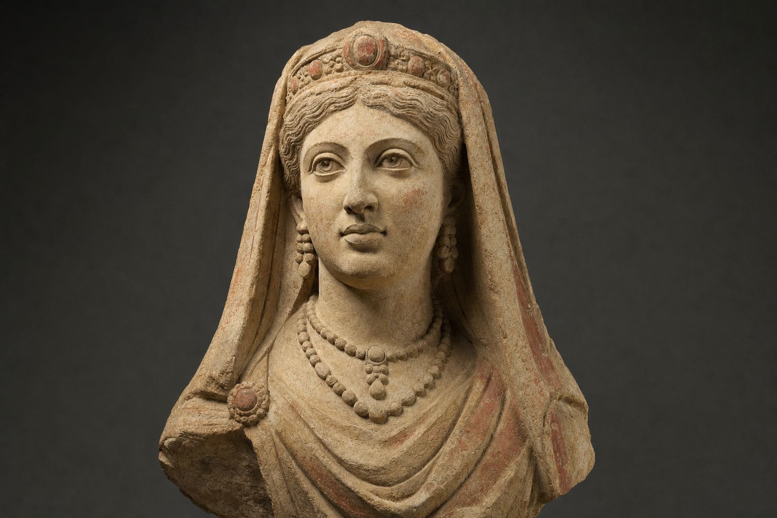
Much of what we read about her, her beauty, her learning, her hunting, comes from the Historia Augusta, a Roman collection of imperial lives that historians treat as unreliable.
Firmer evidence, from coins and inscriptions, shows a ruler who kept her husband's titles for her son and at first avoided a break with Rome.
Bat-Zabbai
in Palmyrene Aramaic
Septimia Zenobia
in Greek and Latin
Her names
Coins and inscriptions: firm evidence
Zosimus, Zonaras: later, partial accounts
Historia Augusta: colourful and often invented
Arabic legends of al-Zabba: a separate tradition
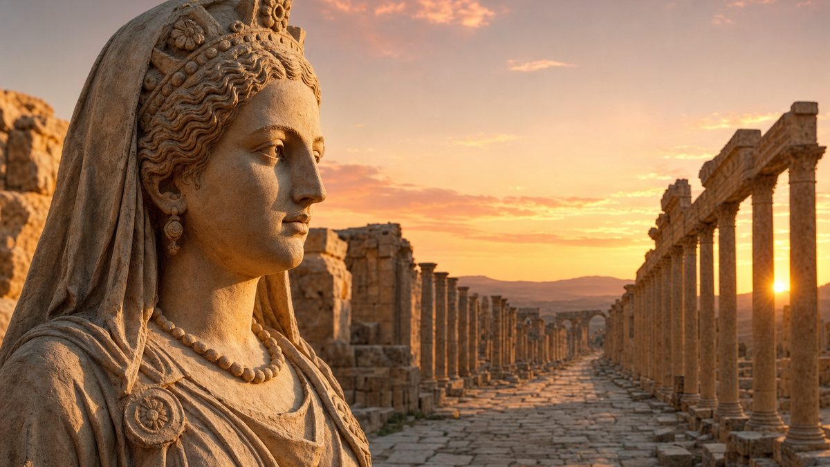
How sure are the sources?An imagined statue in the Palmyrene style. No portrait of Zenobia from life is known beyond small images on coins. AI-generated illustration.
Chapter III · The king and the queen
A regent and her sources
Britannica: Septimia Zenobia (Aramaic Bat-Zabbai) ruled after Odaenathus and his eldest son were killed in 267 or 268, as regent for her young son Wahballat (Latin Vaballathus), who took his father’s titles. Wikipedia (Palmyrene Empire): Vaballathus was about ten; only the Historia Augusta and Zonaras name a killer, the cousin Maeonius, and nothing else confirms it; Zenobia kept her husband’s titles and avoided provoking Rome. World History Encyclopedia: most historians reject the claim that she was responsible for the killing.
World History Encyclopedia: the Historia Augusta has “long been recognized as an unreliable source” that often invents dates, events and people. Wikipedia: an Arabic tradition about a queen called al-Zabba is semi-legendary and is sometimes confused with Zenobia.
In 270, the year Aurelian became Roman emperor, Palmyrene armies took the Roman province of Arabia, and that autumn the general Zabdas entered Egypt.
In 271 they pushed into Anatolia as far as Ancyra, today's Ankara. Use the buttons to compare 267, 270 and 271.
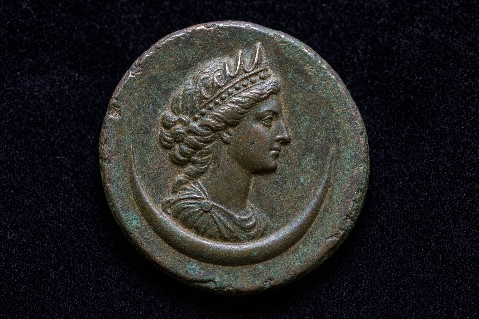
Her early coins honoured Aurelian alongside her son. Then, in late 271 or early 272, her son was proclaimed Augustus and she Augusta: imperial titles, an open break with Rome.
Historians still argue about what she wanted: independence for the East, or the Roman throne itself.
spring 270 Campaign against the Tanukhid tribes
270 Bosra taken; Arabia secured
Oct 270 Egypt invaded; Zenobia declared its queen
271 Galatia subdued; Ancyra occupied
Two years of expansion
Ancyra
occupied: the farthest point
Chalcedon
on the Bosphorus: attacked, not taken
The edges of her empire, 271An imagined bronze coin in the style of the period, not a copy of a real one. AI-generated illustration.
A local revolt against Rome
Filling the gap left by Rome’s weakness
A bid for the Roman throne
Evidence is not enough to decide
What did she want? Historians’ views
Chapter IV · Empire and fall
From Egypt to Ancyra
Wikipedia (Palmyrene Empire): Claudius Gothicus died in August 270 and Aurelian succeeded him (reigned 270–275, Britannica); in 270 Zabdas sacked Bosra and secured Arabia; in October 270 a Palmyrene army invaded Egypt and Zenobia was declared queen of Egypt; in 271 the Palmyrenes subdued Galatia and occupied Ancyra, their greatest extent, but failed to take Chalcedon. Zenobia first issued coins in Aurelian’s name showing Vaballathus as king; late in 271 Vaballathus took the title Augustus (some accounts date the change to early 272). World History Encyclopedia: she took the title Augusta. Britannica dates the move into Egypt to 269 in one article and 270 in another.
On her aims, Wikipedia summarises a range of scholarly views (native opposition to Rome, a response to Rome’s weakness against Persia, a bid for the throne, or both) and notes that some scholars find the evidence insufficient to decide. The extents on the map are schematic.
The map and the city are teaching models: coastlines and rivers come from Natural Earth; borders, routes and the city plan are drawn schematically from the sources, not surveyed.
In 272 Aurelian marched east across Anatolia. He spared the city of Tyana, and many others then opened their gates.
He beat Zenobia's army at Immae, near Antioch, and again at Emesa, today's Homs.
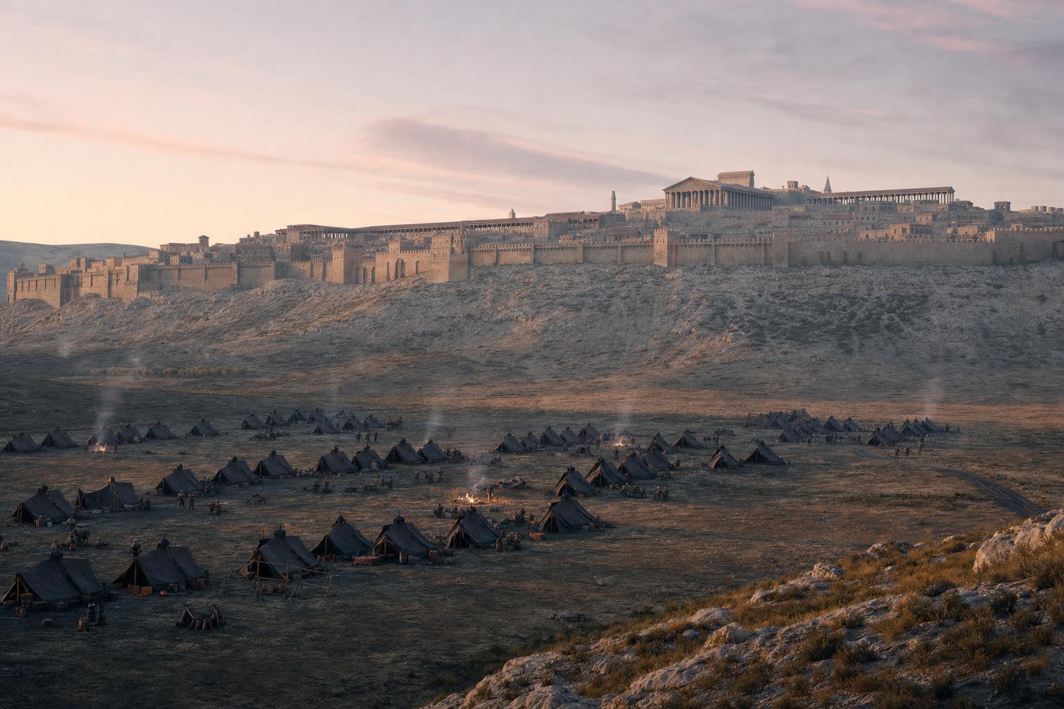
She fell back to Palmyra. During the siege, desert tribes changed sides and supplied the Romans.
Zenobia slipped out to seek help from Persia, but was captured near the Euphrates, and the city surrendered.
early 272 Crosses the Bosphorus into Anatolia
Tyana Spared; other cities submit
Immae First battle, near Antioch
Emesa Second battle
summer 272 Siege of Palmyra; Zenobia caught
Aurelian’s road, 272
Antioch
taken by Aurelian after Immae
Apamea
on his road south to Emesa
Between the battlesA Roman camp before the city: the siege of 272 was won as much by supplies as by fighting. AI-generated illustration.
Emesa
where Zenobia and her council were tried
600
archers left to hold Palmyra
After the surrender
Chapter IV · Empire and fall
Aurelian comes east
Wikipedia (Palmyrene Empire): early in 272 Aurelian crossed the Bosphorus; he spared Tyana, after which many cities submitted (the story of a vision of Apollonius that saved Tyana is a legend); he defeated Zenobia at Immae, took Antioch, and beat her again at Emesa; at the siege of Palmyra in summer 272, Bedouins loyal to Palmyra were won over and supplied the Romans; Zenobia left to seek Persian help and was captured near the Euphrates, and the city capitulated. Zenobia and her council were tried at Emesa; Aurelian left 600 archers as a garrison. Britannica: she and Vaballathus were captured before crossing the Euphrates.
The line on the map follows the order of places in the sources; the exact roads, and the place of her capture, are not known.
The map and the city are teaching models: coastlines and rivers come from Natural Earth; borders, routes and the city plan are drawn schematically from the sources, not surveyed.
In 273 Palmyra rose again. Aurelian came back, and this time he destroyed the city.
Zenobia's end is uncertain. Some ancient accounts say she was led through Rome in Aurelian's triumph in 274 and lived on in Italy; others say she died on the way.
Palmyra lived on as a smaller town and a fortress, and later in the Islamic world, but it never regained its old wealth.
Antiochus
a relative of Zenobia, proclaimed emperor by the rebels; spared
Temple of Sol, Rome
decorated with Palmyra’s finest monuments
The second revolt, 273
Historia Augusta: paraded in gold chains, then given a villa near Rome
Zonaras: married a Roman of rank
Other accounts: died on the way to Rome
No account is certain
Her fate: the ancient accounts
c. 300 Diocletian rebuilds a smaller, walled town and camp
634 Taken by Khalid ibn al-Walid
1400 Sacked by Timur; a village remains
1929–1932 Villagers move out of the temple court, then to a new town
After Zenobia
Chapter IV · Empire and fall
Revolt, ruin, legend
Wikipedia (Palmyrene Empire): in 273 Septimius Apsaios led a revolt and proclaimed Antiochus emperor; Aurelian returned, spared Antiochus, and razed Palmyra, taking its most valuable monuments to decorate his Temple of Sol. Britannica: some sources say Zenobia and Vaballathus appeared in Aurelian’s triumph in Rome in 274, while others say she starved herself to death on the journey. World History Encyclopedia: the Historia Augusta’s parade in gold chains is most likely fiction; Zonaras says she married a wealthy Roman.
Britannica: Khalid ibn al-Walid took the city in 634 and its trade declined gradually. Wikipedia (Palmyra): Diocletian restored a reduced town; Timur destroyed it in 1400; about 6,000 villagers lived there in the early 20th century and were moved to the new village of Tadmur in 1932. Getty: the village inside the court of the Temple of Bel was moved out in 1929.
The map and the city are teaching models: coastlines and rivers come from Natural Earth; borders, routes and the city plan are drawn schematically from the sources, not surveyed.
In 1980 UNESCO listed the ruins as a World Heritage Site.
During Syria's civil war, the Islamic State group took Palmyra in May 2015. That August it killed Khaled al-Asaad, aged eighty-two, who had worked at the site for more than fifty years.
It blew up the temples of Baalshamin and Bel, the monumental arch and several tower tombs. Of the Temple of Bel, only the great gateway and parts of the outer wall still stand.
Driven out in March 2016, the group returned that December, and in January 2017 toppled most of the tetrapylon, a crossroads monument of sixteen columns.
It lost the city for good in March 2017. Use the buttons to compare before and after.
1980
inscribed on the World Heritage List
2013
added to the List of World Heritage in Danger
A listed site
“They killed him because he would not betray his deep commitment to Palmyra.”Irina Bokova, UNESCO Director-General, 19 August 2015
23 Aug 2015 Temple of Baalshamin
30 Aug 2015 Temple of Bel: the shrine
2015 Monumental Arch; several tower tombs
Jan 2017 Tetrapylon: 12 of 16 columns; theatre façade damaged
What was destroyed
At the heart of the city, by the theatre
Four bases, four columns on each
Columns re-erected in the 20th century
The tetrapylon
May 2015 – Mar 2016
first
Dec 2016 – Mar 2017
second
Two occupations
Chapter V · The ruins
Destruction, 2015–2017
Britannica: the ruins were designated a World Heritage Site in 1980; ISIL took control of Palmyra in May 2015, and UN satellite images in early September showed that the Temple of Bel had been demolished. UN News, 19 August 2015: Khaled al-Asaad, 82, who had worked at Palmyra for more than 50 years, was killed after being held for over a month; UNESCO’s Director-General Irina Bokova condemned the killing. UNESCO, 24 August 2015: the Temple of Baalshamin was blown up on 23 August, and Bokova called such acts war crimes.
Wikipedia (Palmyra): the group held the city from May 2015 to March 2016 and from December 2016 to March 2017; the Temple of Bel’s cella was destroyed on 30 August 2015 and the Monumental Arch in October 2015; on 20 January 2017 reports said 12 of the tetrapylon’s 16 columns had been toppled and the theatre’s façade damaged. French Ministry of Culture: several tower tombs were destroyed in autumn 2015. Wikipedia (Temple of Bel): the arched main entrance, the outer walls and the fortified gate survived. Getty: the tetrapylon stood at the city’s heart, at a bend of the colonnade, on four great bases with four columns each. The before-and-after model is schematic. No images of the destruction are shown.
The map and the city are teaching models: coastlines and rivers come from Natural Earth; borders, routes and the city plan are drawn schematically from the sources, not surveyed.
Syrian archaeologists proposed anastylosis: putting fallen stones back where they stood. A replica of the arch's centre, carved from a 3D model, has been shown in cities from London to Dubai.
By mid-2026, international work with the Syrian authorities was still mostly surveys and damage assessments.
And Zenobia reaches us only in fragments: a few coins, some inscriptions, and Roman writers who were not on her side. That is why each generation retells her story, and argues over how to teach it.
Anastylosis: original blocks reset in place
Replicas: new stone cut from 3D scans
First of all: survey and record every block
Ways to bring stones back
≈6 m
tall, Egyptian marble, carved in Italy
19 Apr 2016
unveiled in Trafalgar Square, London
The replica arch
UNESCO
working with Syrian authorities, ALIPH and the Aga Khan Trust for Culture
2022
the Efqa spring site reopened
After late 2024
The Tariff: the Hermitage, St Petersburg
Tomb portraits: museums such as the Met, New York
The site itself: beside the town of Tadmur, Syria
Where Palmyra can be seen today
Epilogue · Sources
Sources
Wikipedia (Monumental Arch): in March 2016 Syria’s antiquities director said the arch would be rebuilt by anastylosis; a 20-foot (about 6 m) replica of its central part, made in Egyptian marble in Italy from a 3D model by the Institute for Digital Archaeology, stood in Trafalgar Square from 19 April 2016 and then toured other cities, including New York, Florence, Geneva, Washington and Dubai. Wikipedia (Palmyra): the Efqa spring site reopened in 2022; after the fall of the Assad government in late 2024, UNESCO began work with the Syrian authorities, ALIPH and the Aga Khan Trust for Culture; as of June 2026 it was limited to surveys and damage assessments.
About this film: every fact comes from the sources below. The chapter stills and pictures are AI-generated illustrations; they show no real people and copy no real artwork, coin or book. The map uses Natural Earth coastlines and rivers; borders, routes, extents and the city model are schematic. Ancient accounts of Zenobia are partial and often disagree, and the Historia Augusta is treated as unreliable.