In early November 2026 Thailand was still waiting for its cool season to be declared, as high pressure from China began to push south. This film explains the monsoon behind that wait: why land and sea heat up at different rates, how a sea breeze grows into a seasonal wind the size of a continent, how the tropical rain belt follows the Sun and the Earth's spin turns the winds, why Thailand has a rainy season and a cool season, how mountains squeeze out record rains in India, why southern Thailand's east coast is wettest in November, and how sailors and scientists came to understand it.
Interactive 3D film10 min1686 to 2026Published 5 November 2026
In mid-October 2026, the Thai Meteorological Department forecast that this year’s cool season would arrive about a week later than usual.
By the fourth of November it still had not declared winter. Rain kept falling in the south, and nights in Bangkok stayed warm.
At the start of November, high pressure from China began to spread cool air over upper Thailand.
That turning wind is the monsoon. To see where it comes from, we start on a beach.
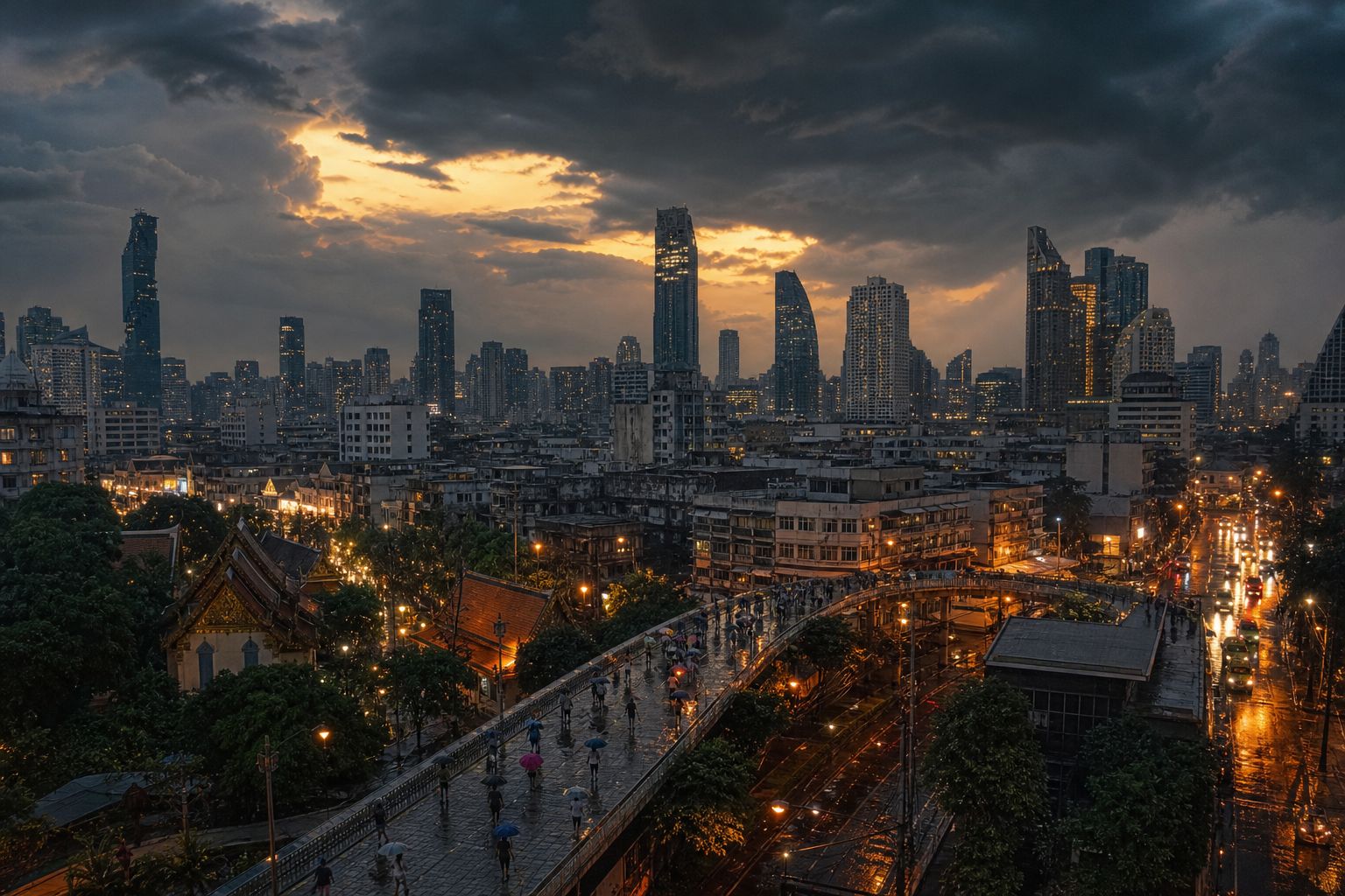
Still waiting A wet November evening in a big Thai city. AI-generated illustration.
24–26 °C
Bangkok’s lowest temperatures
below 23 °C
needed, among other signs, for winter
3 November 2026 (TMD forecast)Cooler in the north Light jackets on a misty morning in the hills. AI-generated illustration.
2022 29 October
2023 14 November
2024 3 November
2025 23 October
2026 not yet declared on 4 November
Cool season declared (TMD)
Prologue
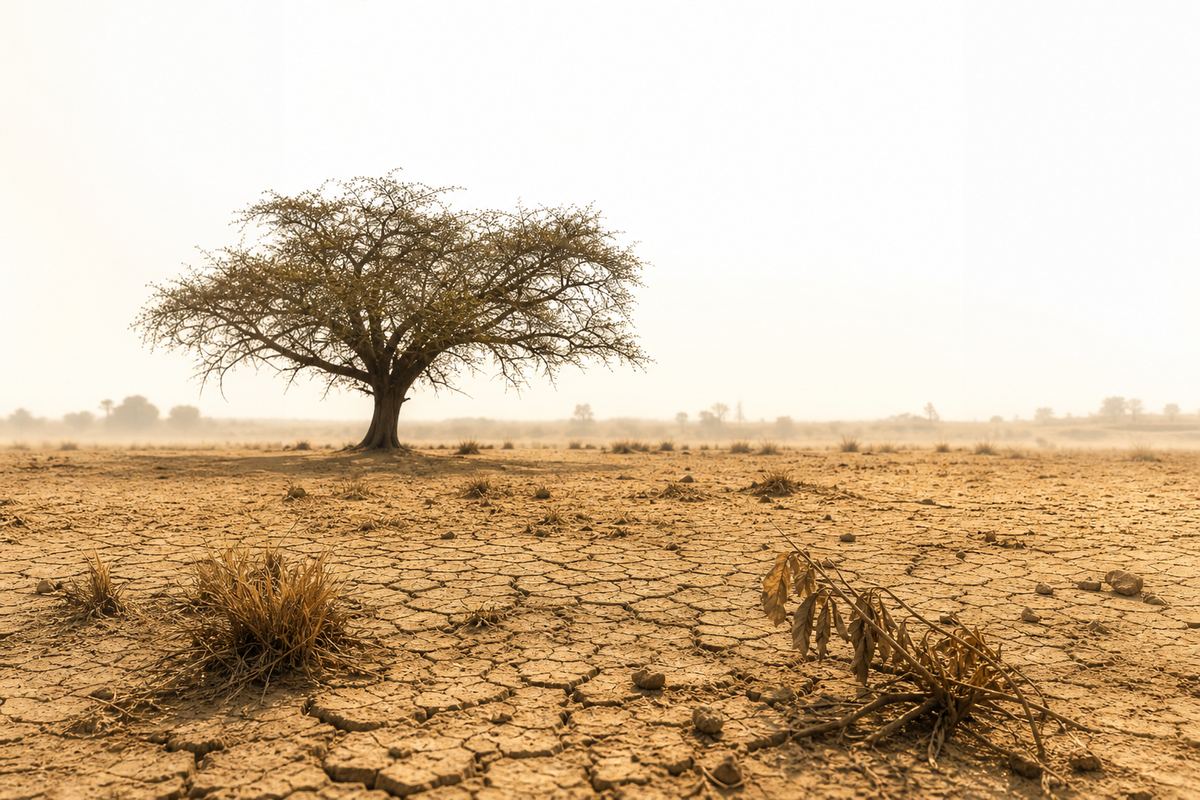
A late cool season
The Star / Nation (15 October 2026): the Thai Meteorological Department (TMD) forecast a cool season starting about a week later than usual, shorter and warmer, with El Niño strengthening. Nation Thailand (22 October): Thailand had yet to officially enter winter. Spacebar (4 November): still no official announcement; a TMD director said 8–10 November “may be clearer”. Thaiger (3 November): a high-pressure system from China covered the upper Northeast; Bangkok lows 24–26 °C; heavy rain in seven southern provinces.
Declared start dates in recent years (Nation Thailand): 2022, 29 October; 2023, 14 November; 2024, 3 November; 2025, 23 October.
The 3D scenes are simplified teaching models: the winds, the rain belt and the cross-sections are schematic, not data.
The word monsoon comes from the Arabic mausim, meaning season.
Weather scientists use it for a wind that reverses with the seasons: over a huge region, the main wind blows one way in summer and the other way in winter.
Over South and Southeast Asia, it blows from the southwest in summer, wet from the ocean, and from the northeast in winter, cool and dry from inland.
Switch between the two seasons in the scene.
mausim
Arabic for “season”
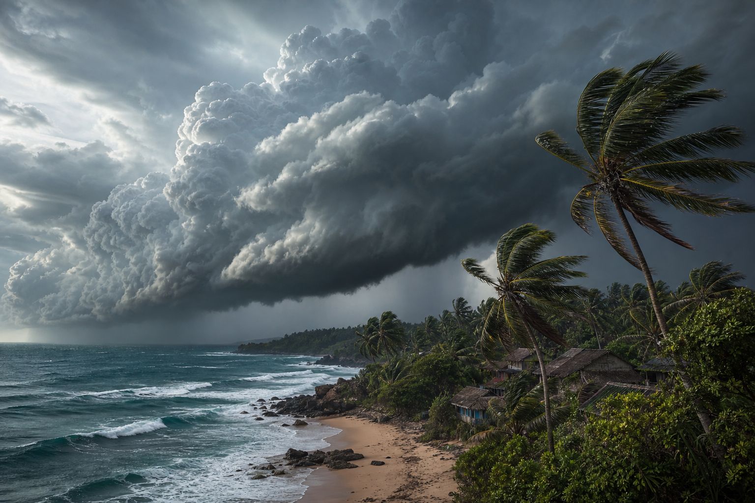
The wordThe wind turns Monsoon clouds rolling in from the sea. AI-generated illustration.
southwest: about mid-May to mid-October, wet
northeast: about mid-October to mid-February, cool and dry
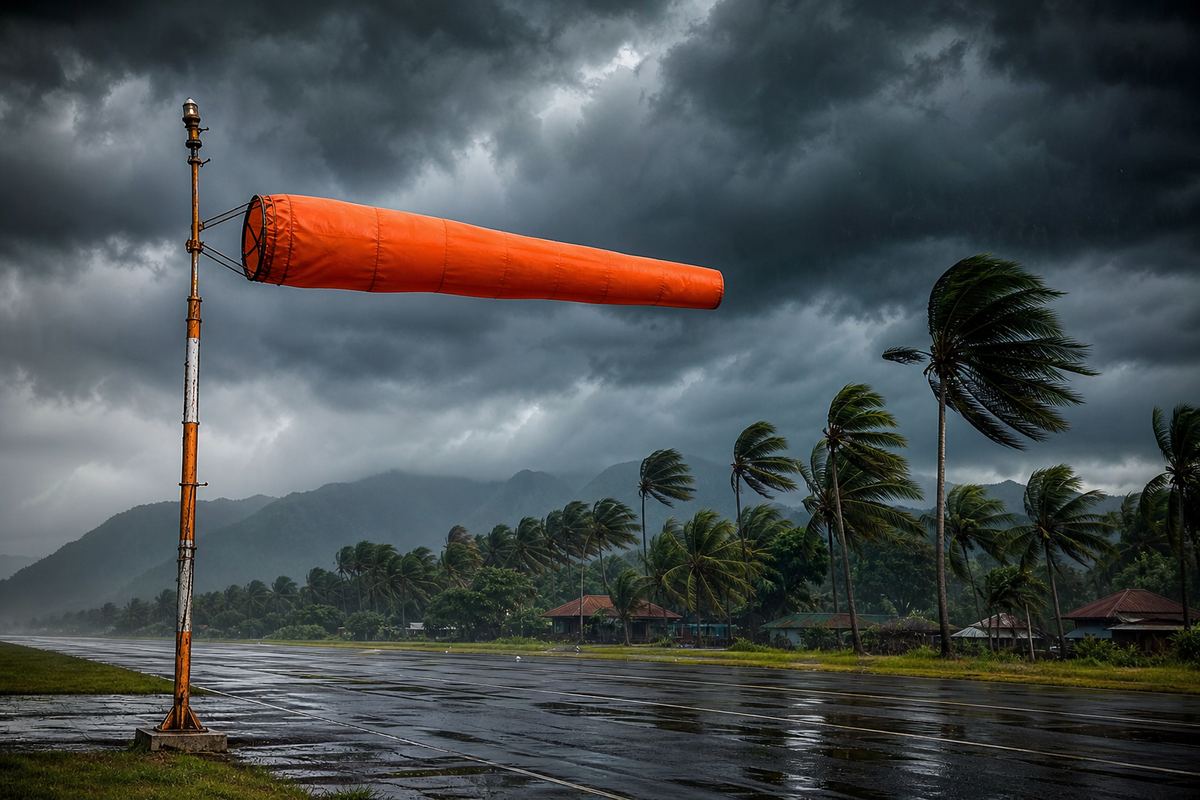
Thailand’s two monsoons (TMD)Which way? A windsock shows the wind’s direction, the thing that flips with the seasons. AI-generated illustration.
Prologue
What a monsoon is
UK Met Office and NOAA: a monsoon is defined by a significant seasonal reversal of the prevailing wind; the word comes from the Arabic mausim, “season”. Thai Meteorological Department (via thailand.go.th): the southwest monsoon blows from about mid-May to mid-October and the northeast monsoon from about mid-October to mid-February, bringing cold, dry air from highs over Mongolia and China.
The 3D scenes are simplified teaching models: the winds, the rain belt and the cross-sections are schematic, not data.
Stand on a beach at noon and the sand burns your feet, while the water still feels cool.
Water needs about five times as much heat as sand to warm up by the same amount. So under the same sunshine, land heats up much faster than the sea.
Air over the hot land warms and rises, and cooler air from the sea flows in underneath to take its place. That is the sea breeze.
At night it turns round: the land cools faster, and a land breeze blows out to sea.
Same sun, different heat Dry sand beside shallow water at noon. AI-generated illustration.Q=mcΔT
c
specific heat: water 4,186 J/(kg·°C), sand 795
ΔT
the rise in temperature
Heat needed to warm somethingOnshore An afternoon breeze from the sea, with clouds building over land. AI-generated illustration.After dark Fishing boats heading out under the moon. AI-generated illustration.
Chapter I · Land and sea
Specific heat and the sea breeze
Northern Vermont University (Meteorology 130): specific heat is about 4,186 J/kg°C for water, 795 for quartz sand, 794 for granite and 1,005 for dry air, so water needs about five times as much heat as sand for the same warming. “The difference in specific heats between land and water creates the sea breeze circulation.” Penn State (METEO 3) describes the sea breeze by day and the land breeze by night.
Try Day and Night in the scene: the bars show which surface is warmer.
The 3D scenes are simplified teaching models: the winds, the rain belt and the cross-sections are schematic, not data.
A monsoon works like a sea breeze the size of a continent, swinging with the seasons instead of with day and night.
In spring the vast landmass of Asia heats up far more than the Indian Ocean beside it. Over the Indian subcontinent, temperatures can climb into the high forties.
The hot air rises and leaves lower pressure over the land. Air always flows from higher pressure towards lower, so moist air is drawn in from the ocean.
In winter the land turns colder than the ocean, and the flow reverses. But heat is only part of the story.
Land against sea Sun-baked land meets a cooler ocean. AI-generated illustration.
high 40s–low 50s °C
can be reached over the subcontinent, March to May
Before the rains (Met Office)Before the monsoon A parched plain shimmering in the May heat. AI-generated illustration.
sea breeze: hours, a few kilometres
monsoon: months, a whole continent
The same rule, two scales
Chapter I · Land and sea
A giant sea breeze
UK Met Office: land heats faster than water; low pressure over the land draws in moist ocean air; temperatures over the subcontinent climb from March to May and can reach the high 40s to low 50s °C. Penn State calls monsoons “giant sea/land breezes”: onshore flow in summer, offshore flow in winter. It is a simplification: the shift of the tropical rain belt and the Earth’s rotation also matter, as the next steps show.
The 3D scenes are simplified teaching models: the winds, the rain belt and the cross-sections are schematic, not data.
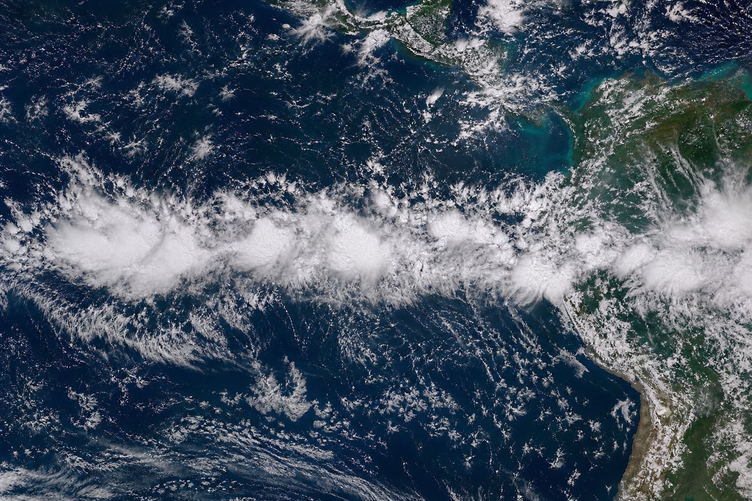
Around the tropics runs a belt of rain clouds where the trade winds, the steady winds that blow towards the equator from north and south, meet. Scientists call it the Intertropical Convergence Zone.
The belt follows the Sun. As the Sun stands higher over the northern hemisphere in its summer, the rain belt shifts north with it, and in its winter the belt shifts back south.
Its move north in May and June comes at the same time as the start of the summer monsoon in Southeast Asia.
Try the months to watch it move.
The belt from space A chain of storm clouds near the equator. AI-generated illustration.
ITCZ
what Thai forecasts call the monsoon trough
Same belt, Thai name
May reaches the South
June–early July moves on to southern China
August back over the North and Northeast
Sep–Oct over the Centre and South
The belt over Thailand (LDD)
May–June
northward shift and monsoon onset coincide
Climate.gov
Chapter II · Following the Sun
The Intertropical Convergence Zone
NOAA Climate.gov: the ITCZ is the tropical rain belt where the trade winds converge; it follows the Sun north and south through the year, and its northward shift in May–June coincides with the onset of the Southeast Asian summer monsoon. Thailand’s Land Development Department: the ITCZ reaches the South in May, moves to southern China in June to early July (bringing a dry spell to upper Thailand), returns to the North and Northeast in August and to the Centre and South in September–October.
The latitude of the band in the scene is a sketch, not measured data.
The 3D scenes are simplified teaching models: the winds, the rain belt and the cross-sections are schematic, not data.
Why the rainy-season wind comes from the southwest.
One more ingredient is the spin of the Earth.
In the southern Indian Ocean, the southeast trade winds blow towards the equator.
As that air crosses into the northern hemisphere, the Earth’s rotation deflects it. This is the Coriolis effect, and it swings the southeast wind round into a southwest wind.
That is why Thailand’s rainy-season wind arrives from the southwest, off the Indian Ocean.
starts at a high over the southern Indian Ocean
blows north-west as the southeast trades
crosses the equator and turns
arrives as the southwest monsoon
The path of the rainy-season windOff the Indian Ocean The southwest monsoon arriving over a tropical coast. AI-generated illustration.
SE → SW
the turn at the equator
Direction
Chapter II · Following the Sun
The Coriolis turn
Penn State (METEO 3): the southeast trade winds cross the equator and are deflected by the Coriolis force into southwesterlies over the Arabian Sea and the Indian Ocean. Thai Meteorological Department (via thailand.go.th): the southwest monsoon starts from a high-pressure area in the southern-hemisphere Indian Ocean and turns to blow from the southwest after crossing the equator.
The 3D scenes are simplified teaching models: the winds, the rain belt and the cross-sections are schematic, not data.
The Thai Meteorological Department dates the southwest monsoon from about mid-May to mid-October. Those months are Thailand’s rainy season.
When the rain belt moves on to southern China in June and early July, upper Thailand often gets a dry spell of a week or two.
When it swings back south, the rain returns. August and September are usually the wettest months.
Most of the country gets between about one thousand two hundred and one thousand six hundred millimetres of rain a year.
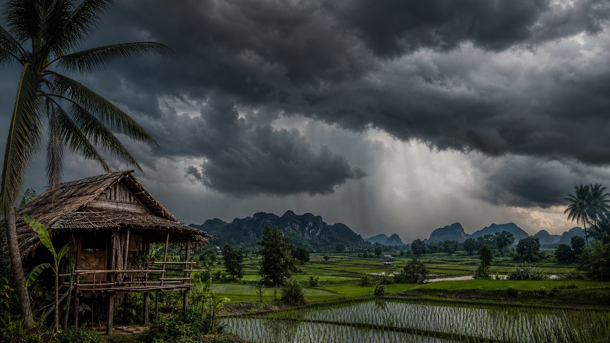
Planting time Rice fields in the north under rainy-season cloud. AI-generated illustration.
mid-May southwest monsoon begins
June–early July dry spell in the upper country
Aug–Sep wettest months
mid-October the wind turns
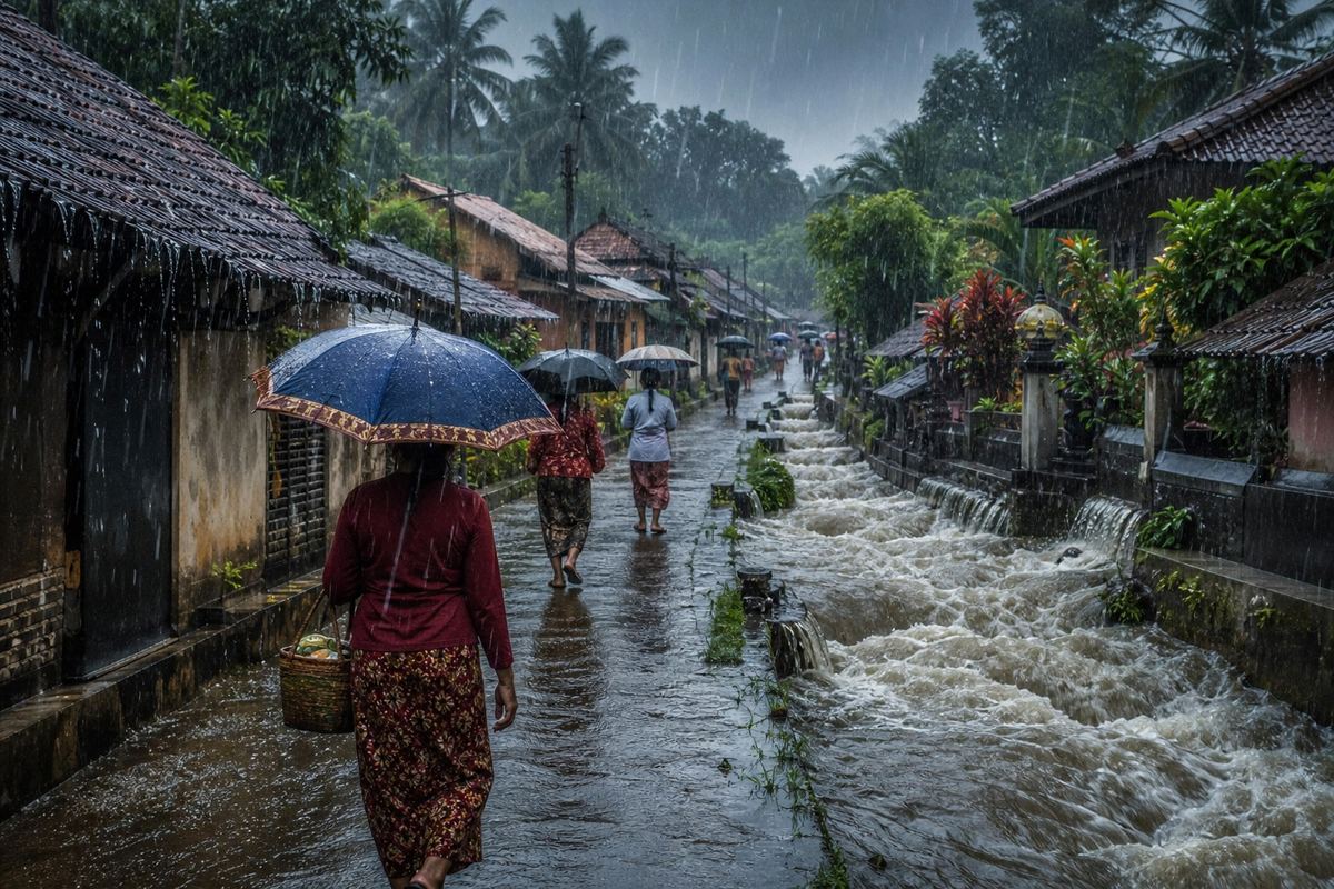
The rainy season, step by stepPeak rains A village street under a heavy late-season downpour. AI-generated illustration.
1,200–1,600 mm
most of Thailand
A year’s rain (LDD)
Chapter III · The rains
Thailand’s rainy season
Thai Meteorological Department (via thailand.go.th): the rainy season runs from mid-May to mid-October; summer from mid-February to mid-May; winter from mid-October to mid-February. WMO country report: August and September are the wettest months. Land Development Department: most of Thailand receives 1,200–1,600 mm a year; a dry spell of one to two weeks or more often follows the ITCZ’s move to southern China.
The 3D scenes are simplified teaching models: the winds, the rain belt and the cross-sections are schematic, not data.
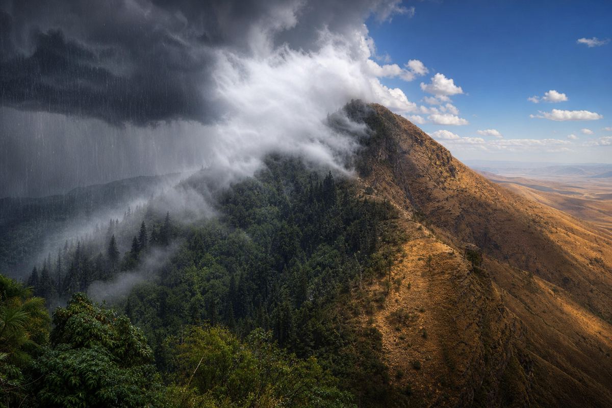
Mountains make the monsoon far wetter in some places than in others.
When moist air is pushed up a slope, it cools as it rises, and its water vapour turns into cloud and rain on the side facing the wind.
On India’s Western Ghats, Agumbe gets about seven thousand six hundred millimetres a year. Fifty kilometres beyond the crest, it is about two thousand. That drier side is called a rain shadow.
In Thailand, Ranong and Trat, facing the wet wind, get more than four thousand. Swap the range for low hills and watch the rain fade.
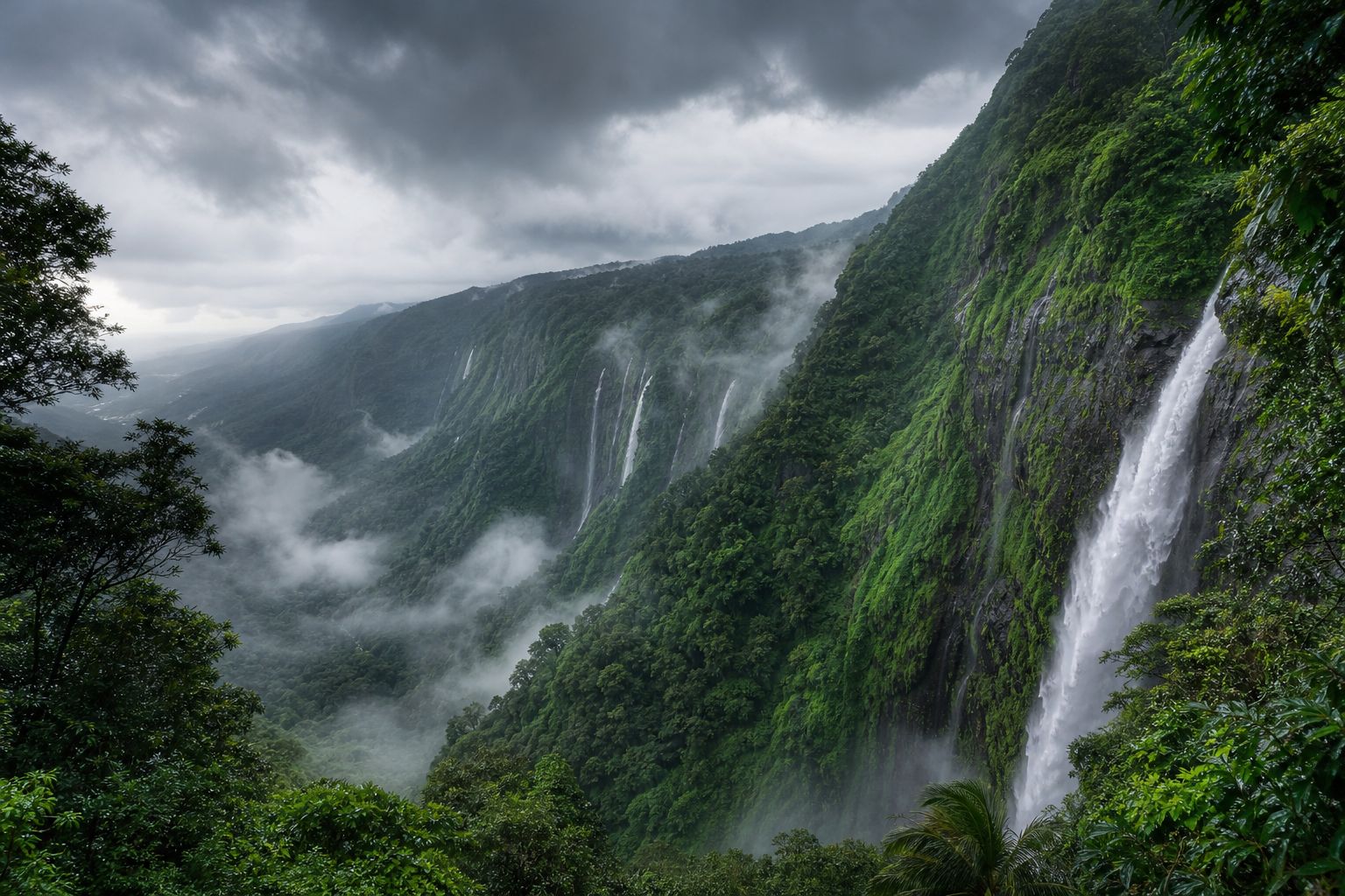
The Western Ghats Green slopes and waterfalls in the monsoon. AI-generated illustration.
near the crest
~7,500
15 km to the lee
~4,000
50 km to the lee
~2,000
Across the Western Ghats (IISc)
7,640 mm
a year, on 128 rainy days
Agumbe (IISc)Two sides of a ridge Cloud and rain on the windward slope, dry ground beyond. AI-generated illustration.
Chapter III · The rains
Orographic rain
IISc (Western Ghats): Agumbe, at 645 m, has a mean annual rainfall of 7,640 mm over 128 days. Rainfall rises from about 5,900 to 7,500 mm within 6 km of the crest, then falls from 7,500 to 4,000 mm within 15 km on the lee side and to about 2,000 mm at 50 km. Land Development Department: Ranong and Trat, on the windward side, receive more than 4,000 mm a year.
Use High range and Low hills to compare.
The 3D scenes are simplified teaching models: the winds, the rain belt and the cross-sections are schematic, not data.
The most extreme rains fall where monsoon winds run straight into steep hills, as they do in northeast India.
From August 1860 to July 1861, the town of Cherrapunji recorded twenty-six and a half metres of rain. That is the world record for twelve months, according to the World Meteorological Organization.
Nearby Mawsynram gets nearly twelve metres of rain in a normal year, says the UK Met Office.
Rain country Moss, mist and waterfalls in the hills of northeast India. AI-generated illustration.
26.47 m
rain in 12 months, Cherrapunji, 1860–61
World record (WMO)
1,313 m
above sea level, on hills facing the wet wind
Cherrapunji (WMO)
Cherrapunji, record year
26,470
Mawsynram, normal year
~12,000
Agumbe, Western Ghats
7,640
most of Thailand
1,200–1,600
A year of rain
Chapter III · The rains
Record rains
WMO World Weather and Climate Extremes Archive: the greatest 12-month rainfall is 26.47 m (26,470 mm) at Cherrapunji, India, from 8 August 1860 to 7 July 1861, at an elevation of 1,313 m. UK Met Office: Mawsynram receives nearly 12 m of rain annually. Some records give slightly different dates for the Cherrapunji period.
The 3D scenes are simplified teaching models: the winds, the rain belt and the cross-sections are schematic, not data.
For India, the summer monsoon is the main event of the year. June to September bring about three quarters of the country’s annual rain, by the averages of the India Meteorological Department.
On average it reaches the southern state of Kerala around the first of June, and the far northwest of the country around the eighth of July.
Much of India’s farmland has no irrigation, so a weak or late monsoon reaches far beyond the fields, from food prices to power supplies.
74.9%
of India’s annual rain falls June–September
IMD normals
1 June Kerala
8 July extreme northwest India
Normal onset (IMD, 2020)Rain-fed fields Seedlings go into flooded fields as the rains arrive. AI-generated illustration.
Chapter III · The rains
The Indian monsoon
The Wire (on IMD’s new normals): the June–September season supplies 74.9% of India’s annual rainfall; the long-period average for the season (1971–2020) is 868.6 mm. India Meteorological Department (2020): the normal onset over Kerala is 1 June and the monsoon covers the extreme northwest of India by 8 July. Business Today (May 2026): about 45% of India’s net sown area has no irrigation, and the monsoon affects food prices and power supply.
The 3D scenes are simplified teaching models: the winds, the rain belt and the cross-sections are schematic, not data.
The northeast monsoon, and what makes winter official.
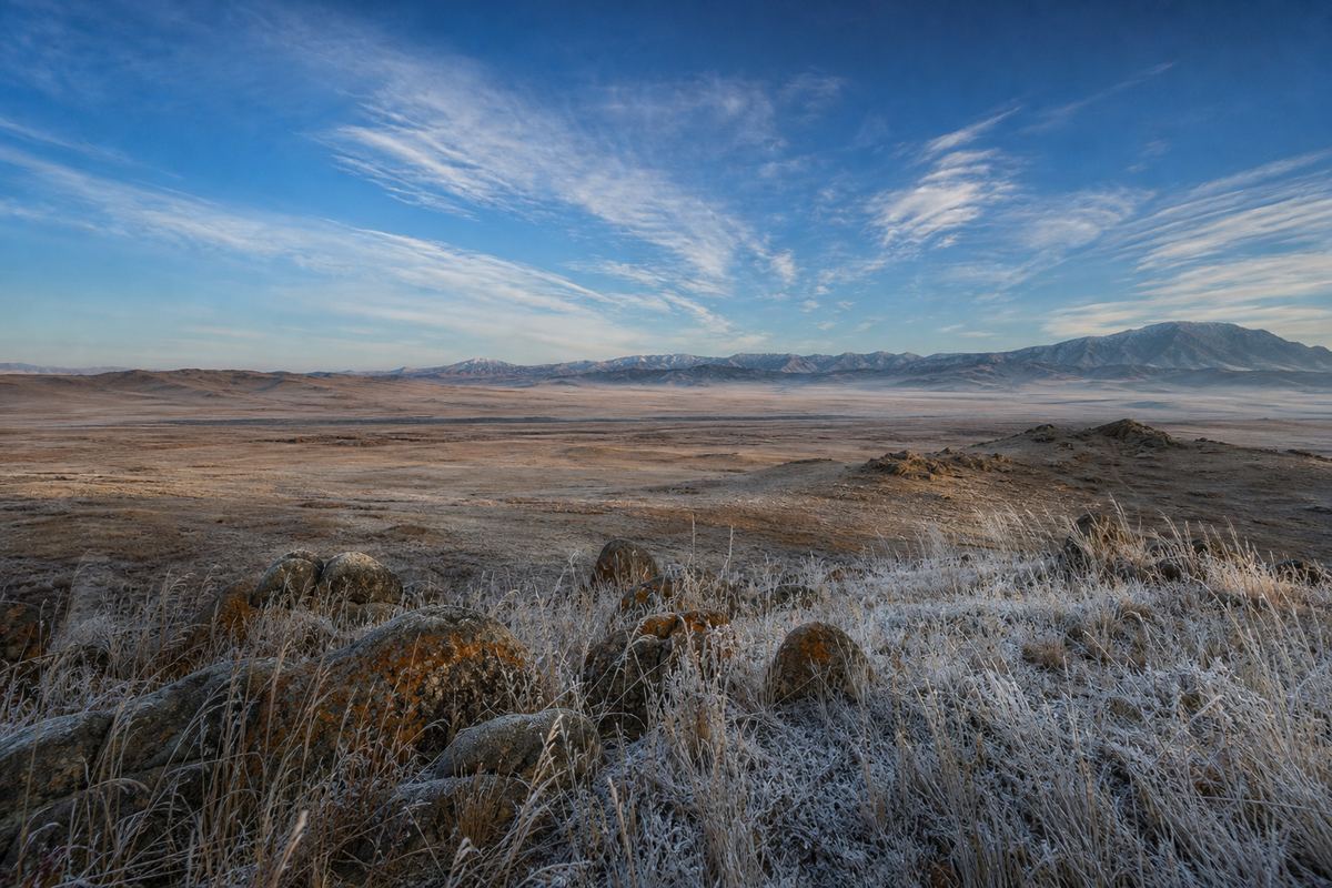
In October everything turns round. The land cools faster than the ocean, and high pressure builds over Mongolia and China.
From there, cold, dry air flows out, blowing from the northeast towards the southwest. That is why Thailand’s Meteorological Department calls it the northeast monsoon, and dates it from about mid-October to mid-February.
But one cold night is not winter. The department declares the cool season only when low temperatures fall below twenty-three degrees widely and for days, northeasterly or easterly winds take over, and the rain clearly eases.
In the first days of November 2026, those conditions had not all arrived.
Where the cold comes from Frosty grassland under the clear skies of a continental high. AI-generated illustration.Cool mornings A sea of mist in northern Thailand’s hills. AI-generated illustration.
minimum temperatures below 23 °C, widespread and sustained
northeasterly or easterly winds near the ground
rain clearly decreasing, above all in upper Thailand
TMD: all three are neededStill warm Short sleeves after dark: the cold had not yet reached the capital. AI-generated illustration.
Chapter IV · The cool wind
The northeast monsoon
Thai Meteorological Department (via thailand.go.th): the northeast monsoon blows from about mid-October to mid-February, from high-pressure areas over Mongolia and China, bringing cold, dry air. Nation Thailand (14 and 22 October 2026): TMD declares the start of the cool season when three conditions are met: minimum temperatures below 23 °C, widespread and sustained; northeasterly or easterly winds prevailing at low levels; and rainfall decreasing steadily, especially in upper Thailand. Cold weather alone is not enough.
The 3D scenes are simplified teaching models: the winds, the rain belt and the cross-sections are schematic, not data.
Why November is wettest on the southern east coast.
For most of Thailand the northeast monsoon is dry. Not for the south.
Crossing the Gulf of Thailand, the wind picks up moisture and drops it on the east coast of the southern peninsula, on provinces such as Nakhon Si Thammarat and Songkhla.
There, November is the wettest month of the year: about three hundred and sixty millimetres on average, more than October or December.
So while the north waits for cool air, the south braces for its heaviest rain.
The Gulf coast Grey seas and heavy rain on a southern beach in November. AI-generated illustration.
October
254
November
361
December
296
Southern east coast, average rain (TMD, 1991–2020)
7
southern provinces warned of heavy rain
3 November 2026
Chapter IV · The cool wind
The southern east coast
Thai Meteorological Department (via thailand.go.th): the northeast monsoon picks up moisture over the Gulf of Thailand and brings rain to the southern east coast into December. TMD normals (1991–2020) for the southern east coast: October 253.6 mm (18.7 rain days), November 361.4 mm (16.1), December 296.0 mm (12.7). Thaiger (3 November 2026): heavy rain was forecast in seven southern provinces, including Nakhon Si Thammarat and Songkhla.
The 3D scenes are simplified teaching models: the winds, the rain belt and the cross-sections are schematic, not data.
People used the monsoon long before anyone could explain it. Sailors from India and Arabia crossed the Indian Ocean on its winds, timing their voyages to the seasons.
A Greek guide to Indian Ocean trade from the first century gives credit to a navigator named Hippalus for the direct route to India, though local sailors used the wind before him.
In 1686 the English astronomer Edmond Halley published an account of the trade winds and monsoons. He blamed the Sun: its heat makes air lighter, and other air flows in to replace it.
Sailing with the season A wooden ship with a triangular sail on the Arabian Sea. AI-generated illustration.
1st century
a Greek trade guide credits Hippalus
The PeriplusMapping the winds A 17th-century study with a wind chart of the oceans. AI-generated illustration.
…rarefied, and less ponderous…on air heated by the Sun, Philosophical Transactions
Edmond Halley, 1686
Chapter V · Riding the wind
Sailors and scientists
Hippalus (Wikipedia, citing the Periplus of the Erythraean Sea, 1st century AD): a Greek navigator, probably of the 1st century BC, credited with the direct route from the Red Sea to south India; Pliny says the southwest wind was named after him. The wind was known in Hellenistic times and used before him by South Arabian and Indian sailors. Royal Society: in 1686 Edmond Halley published “An Historical Account of the Trade Winds, and Monsoons” in Philosophical Transactions, attributing the winds to the Sun’s heat making air “rarefied, and less ponderous”.
The 3D scenes are simplified teaching models: the winds, the rain belt and the cross-sections are schematic, not data.
By early November the Meteorological Department had pushed its expected start back to around the middle of November. It still expected a shorter, warmer cool season, with El Niño strengthening in the Pacific.
Whenever it is declared, the wind will have done what it does every year: turned round.
The monsoon is not a single storm. It is the air over a whole continent, breathing in and out with the seasons.
2022 29 October
2023 14 November
2024 3 November
2025 23 October
2026 not yet declared on 4 November
Cool season declared (TMD)
mid-November
expected start of the 2026 cool season
TMD expectation (Thai Post)The season turns A breezy evening at a night market. AI-generated illustration.
land and sea heat at different speeds
the rain belt follows the Sun
Earth’s spin turns the wind
The monsoon in three lines
Epilogue · Sources
Sources
Every fact in this film comes from the sources below. The chapter stills and pictures are AI-generated illustrations, not photographs of real places or people. The globe, winds, rain belt, sea breeze and mountain cross-sections are simplified teaching models. Thai Post (2 November 2026): TMD expected the cool season to start around mid-November, in conditions similar to 2023, a strong El Niño year. The Star / Nation (15 October 2026): a shorter, warmer cool season was expected, with El Niño strengthening toward the end of 2026. How El Niño works is told in its own PlanetPast film.