In October 2026 Ukraine's military found its Starlink and Starshield connections slowed for more than a week; Elon Musk said SpaceX had throttled the service, accusing Ukraine of breaking its terms, which Ukrainian officials denied. This film explains the technology behind the row: why radio needs a relay above the curve of the Earth, Arthur C. Clarke's 1945 idea of satellites that hang still, Telstar in 1962, geostationary satellites and why they add half a second of delay, low Earth orbit constellations from Iridium in 1998 to Starlink's more than 10,000 satellites, flat phased-array dishes that steer their beams with timing alone, why heavy rain weakens the signal, ground stations and laser links between satellites, how the operator controls where and how the service works, and the costs of a crowded sky for astronomy and space debris.
Interactive 3D film9 min1945 to 2026Published 27 October 2026
In October 2026, Ukraine's military found its satellite internet links restricted for more than a week. Commanders reported disrupted drone missions.
On 24 October, Elon Musk said his company SpaceX had throttled its Starlink service there, accusing Ukraine's military of breaking its terms. Ukrainian officials denied it, and said speeds were back that day.
How can a company change a country's connection from far away? Because satellite internet is one network, run end to end by whoever operates it. Let's see how it works.
>1 week
Starlink and its military version, Starshield, restricted
24 Oct
restored, according to Ukraine
October 2026
Musk: Ukraine broke the terms; the “loophole” was closed
Ukrainian officials: no terms were broken
Trump administration: no US government role
Three accounts
Why radio needs a relay in the sky
High orbits, low orbits and delay
Dishes that steer without moving
Who controls the network
In this film
Prologue
A slowdown with two accounts
CBS News: Ukraine’s access to Starlink and its military version, Starshield, was restricted for more than a week; commanders reported lost drones and disrupted missions, and speeds were restored overnight into Saturday 24 October. NPR: Musk wrote on 24 October that Ukraine’s military “violated Starlink terms of service and used it for offensive drone strikes to kill people” and that the “loophole was closed last week”; on 14 October he had written that Starshield is owned and controlled by the US government and that “any limits on speed or usage are decided by the US military and ultimately POTUS”. The Washington Post: current and former Ukrainian officials denied violating the terms; a presidential adviser noted that the service does not work over Russian territory.
Trump administration officials denied any US government role; on 25 October President Zelenskyy said Ukrainian officials believed Washington was behind it (NPR). This film does not try to settle who decided what; it explains the system that made a remote slowdown possible.
The globe, orbits, beams and waves are teaching models. Satellites are drawn far larger than life, and orbit heights are to scale only where a number is shown.
Radio waves at the frequencies used for television and data travel in straight lines. The Earth curves away beneath them, so a tower can only reach as far as its horizon.
To cross an ocean, you need a relay high above it. In 1945, the writer Arthur C. Clarke described one: satellites in an orbit where they would seem to hang still in the sky.
Far above the equator, there is a height where one orbit takes exactly as long as one turn of the Earth.
d≈2Rh
R
Earth’s radius, 6,371 km
h
height of the antenna
How far a tower can see (geometric) A 100 m tower: about 36 km to the horizon. The atmosphere bends radio a little further.An idea in a magazine Clarke’s first outline appeared as a letter in Wireless World in February 1945. AI-generated illustration.
≈ 35,786 km
above the equator
23 h 56 min
one orbit = one turn of the Earth (sidereal day)
The “still” orbit
Chapter I · A relay in the sky
Beyond the horizon
Wikipedia, line-of-sight propagation: frequencies above about 30 MHz (VHF and higher) travel in straight lines and are limited by the radio horizon, where direct rays from an antenna touch the curve of the Earth; normal atmospheric refraction extends the range by about 15%. The geometric distance to the horizon from height h is about √(2Rh), which gives roughly 36 km for a 100-metre antenna.
Lakdiva.org: Clarke’s letter “Peacetime Uses for V2” appeared in Wireless World in February 1945 (page 58); the orbit it implies is circular and equatorial, about 42,164 km from the Earth’s centre (about 35,786 km above sea level), with a period of one sidereal day, 23 h 56 min. ESA gives 35,786 km.
The globe, orbits, beams and waves are teaching models. Satellites are drawn far larger than life, and orbit heights are to scale only where a number is shown.
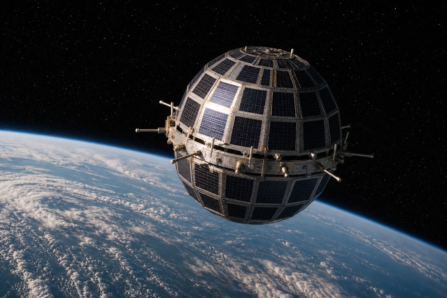
The first relay satellites flew much lower. Telstar 1, built by Bell Labs and launched in July 1962, carried the first live television across the Atlantic.
But its orbit was low and stretched, so it raced across the sky. Each pass over the Atlantic gave only about eighteen minutes; then the picture was gone until it came round again.
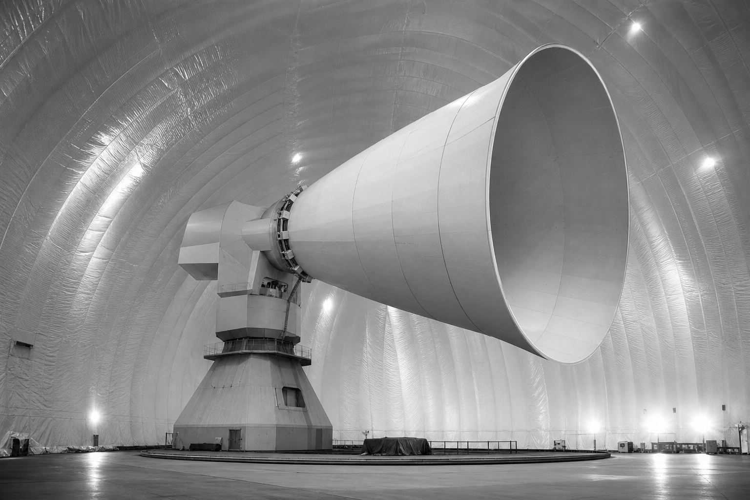
On the ground, the receiving antenna in Maine was a horn seven storeys high.
Telstar also carried telephone calls and data, and AT&T paid for it, making it the first privately financed satellite.
Telstar 1 A sphere 34.5 inches across, about 88 cm, weighing 171 pounds, covered in solar cells. AI-generated illustration.
952 km
lowest point
5,933 km
highest point
~18 min
usable per pass over the Atlantic
Telstar 1’s orbitAndover, Maine The real horn weighed 340 tons and sat inside a protective dome. AI-generated illustration.
AT&T
the first privately financed satellite (NASA)
Who paid
Chapter I · A relay in the sky
The first transatlantic picture
Wikipedia, Telstar 1: launched on 10 July 1962 from Cape Canaveral; first live transatlantic television on 23 July 1962; orbit 952 × 5,933 km; built by Bell Labs and operated by AT&T and NASA; it worked until radiation from the Starfish Prime nuclear test damaged it, and its transmitter failed on 21 February 1963. NASA: it was available for only about 18 minutes at a time as its orbit passed over the Atlantic; the Andover, Maine, horn antenna was seven stories high and weighed 340 tons; AT&T paid for it, making it the first privately financed satellite.
The globe, orbits, beams and waves are teaching models. Satellites are drawn far larger than life, and orbit heights are to scale only where a number is shown.
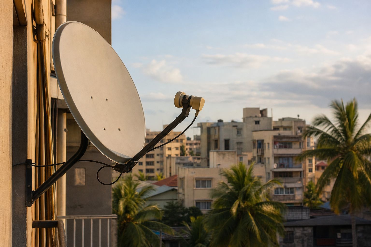
Clarke's orbit solved that. A geostationary satellite, about 35,786 kilometres above the equator, appears fixed in the sky, so a dish can be pointed at it once and never moved again.
From that height, three satellites spaced evenly around the equator can cover almost the whole world.
Thailand's first satellite, Thaicom 1, was launched in December 1993 into a slot like this.
Gravity is weaker that far out, so orbits are slower: about three kilometres per second, just enough to keep pace with the turning Earth below.
A dish that never moves Fixed dishes like this one are aimed at a single geostationary satellite. AI-generated illustration.
≈ 3 km/s
orbital speed
3
satellites for near-global coverage
Geostationary orbit (ESA)
1945 Clarke describes the orbit
1962 Telstar: low, moving, minutes per pass
1993 Thaicom 1, Thailand’s first satellite
Satellites that stand still
Low orbit, ~400 km
≈ 7.8
Geostationary, 35,786 km
≈ 3
Orbital speed (ESA)
Chapter II · Parked overhead
The geostationary belt
ESA: a geostationary satellite circles at about 35,786 km above the equator at about 3 km/s, taking 23 hours 56 minutes and 4 seconds per orbit, the same as one turn of the Earth, so it appears fixed over one spot; three evenly spaced satellites can provide near-global coverage. Wikipedia, Thaicom: Thaicom 1 was launched on 18 December 1993; it was positioned at 78.5° East.
In the scene the orbit height is to scale with the globe; the satellites and their footprints are schematic.
The globe, orbits, beams and waves are teaching models. Satellites are drawn far larger than life, and orbit heights are to scale only where a number is shown.
But height has a price. Radio travels at the speed of light, about 300,000 kilometres per second, and that is a long way to go.
Up to the satellite and back down takes about a quarter of a second. A question and its answer need that trip twice: about half a second, before any other delay is added.
In 2025 measurements by Ookla, the main geostationary internet services had a median delay of about 680 milliseconds. Fine for television; painful for video calls, games, or steering a drone.
The rest of the measured delay comes from the journey on to distant servers and back, and from processing along the way.
t=c2h=299,792km/s2×35,786km≈0.24s
h
height of the satellite
c
speed of light
Travel time for one hop Directly overhead; from the edge of the coverage area the path is longer.
≈ 0.24 s
one hop, up and down
≈ 0.48 s
a request and its reply
Light-travel time via geostationary
Viasat (GEO)
684 ms
HughesNet (GEO)
683 ms
Median latency, 2025 (Ookla)
The trip on to distant servers
Processing in dish, satellite and gateway
A satellite away from overhead: a longer slant path
What else adds delay
Chapter II · Parked overhead
Half a second, at the speed of light
The arithmetic: light covers 299,792 km per second, so one hop up to a geostationary satellite and back down (2 × 35,786 km) takes at least about 0.24 s, and a request plus its reply about 0.48 s. NewSpace Economy, citing Ookla’s 2025 figures: median latency was 683 ms for HughesNet (Q1 2025) and 684 ms for Viasat, against 45 ms for Starlink.
Try it: send a ping through a geostationary satellite, then through a low one, and compare the clock. The pulse speed is slowed down so you can see it; the times shown are the real light-travel times.
The globe, orbits, beams and waves are teaching models. Satellites are drawn far larger than life, and orbit heights are to scale only where a number is shown.
The alternative is to fly low. Low Earth orbit runs from about 180 to 2,000 kilometres up. That close, light's round trip takes only milliseconds.
The catch: a low satellite circles the planet in about ninety minutes, and is above any one spot for only a few minutes. To always have one in view, you need many. That is a constellation. Try changing how many there are.
Iridium tried it first, for phones: 66 satellites at about 780 kilometres, passing calls from one to the next. Service began in November 1998, but the original company went bankrupt.
180–2,000 km
altitude
≈ 90 min
per orbit, at about 7.8 km/s
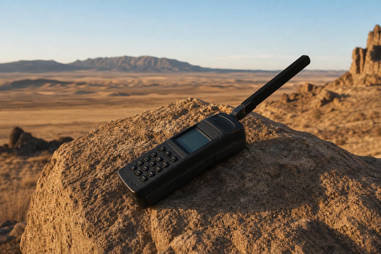
Low Earth orbit (ESA)90min24h=16orbitsHow many orbits in a day The International Space Station, in a similar orbit, circles Earth about 16 times a day.A satellite phone Iridium’s satellites link to their neighbours, so a call can travel through space before coming down. AI-generated illustration.
Chapter III · Fast and low
A swarm instead of a fixture
ESA: low Earth orbit lies between about 180 km and 2,000 km; satellites there take about 90 minutes per orbit at about 7.8 km/s, and communications satellites in LEO often work as constellations that together give continuous coverage. Britannica: a LEO satellite is over any one spot for only a few minutes, so many satellites are needed for continuous service; Iridium, deployed in 1998, was the only LEO communications constellation actually built in the 1990s.
Wikipedia, Iridium: 66 active satellites at about 781 km, with spares; commercial service from 1 November 1998; each satellite links by Ka-band to up to four neighbours; the original company went bankrupt. Try it: switch between 12 and 66 satellites and watch how much of the ground is covered. Coverage circles are schematic.
The globe, orbits, beams and waves are teaching models. Satellites are drawn far larger than life, and orbit heights are to scale only where a number is shown.
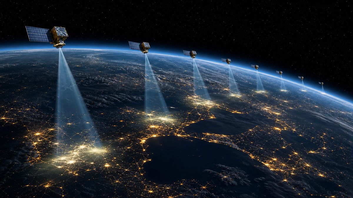
Cheaper rockets changed the sums. SpaceX launched its first sixty Starlink satellites in May 2019. Most now fly at around 550 kilometres.
By March 2026, more than ten thousand were in orbit at the same time. As one sinks toward the horizon, there is always another rising to take over.
And because they are so close, Ookla measured Starlink's median delay in 2025 at about 45 milliseconds: fifteen times less than the old high satellites.
By mid-2024, according to Britannica, Starlink already made up more than half of all the active satellites in orbit.
60
first operational batch, May 2019
~550 km
main shell, 53° inclination
Starlink (eoPortal)
>10,000
in orbit at once, March 2026
>50%
of all active satellites were Starlink by June 2024 (Britannica)
Scale
Viasat (GEO)
684 ms
HughesNet (GEO)
683 ms
Starlink (LEO)
45 ms
Median latency, 2025 (Ookla)
2018 Two test satellites
2019 First 60 operational
2024 More than 6,000
2026 More than 10,000 at once
Starlink’s growth
Chapter III · Fast and low
Thousands of satellites
Britannica: SpaceX launched its first batch of 60 operational Starlink satellites in May 2019, after two test satellites in February 2018; by June 2024 there were more than 6,000, over half of all active satellites. eoPortal: most Starlink satellites fly at about 559 km, the main shell at roughly 540–570 km and 53° inclination; more than 10,000 were reported in orbit at once in March 2026. NewSpace Economy, citing Ookla: Starlink’s median latency in 2025 was 45 ms.
The scene draws a few hundred satellites, not ten thousand, and makes them far larger than real.
The globe, orbits, beams and waves are teaching models. Satellites are drawn far larger than life, and orbit heights are to scale only where a number is shown.
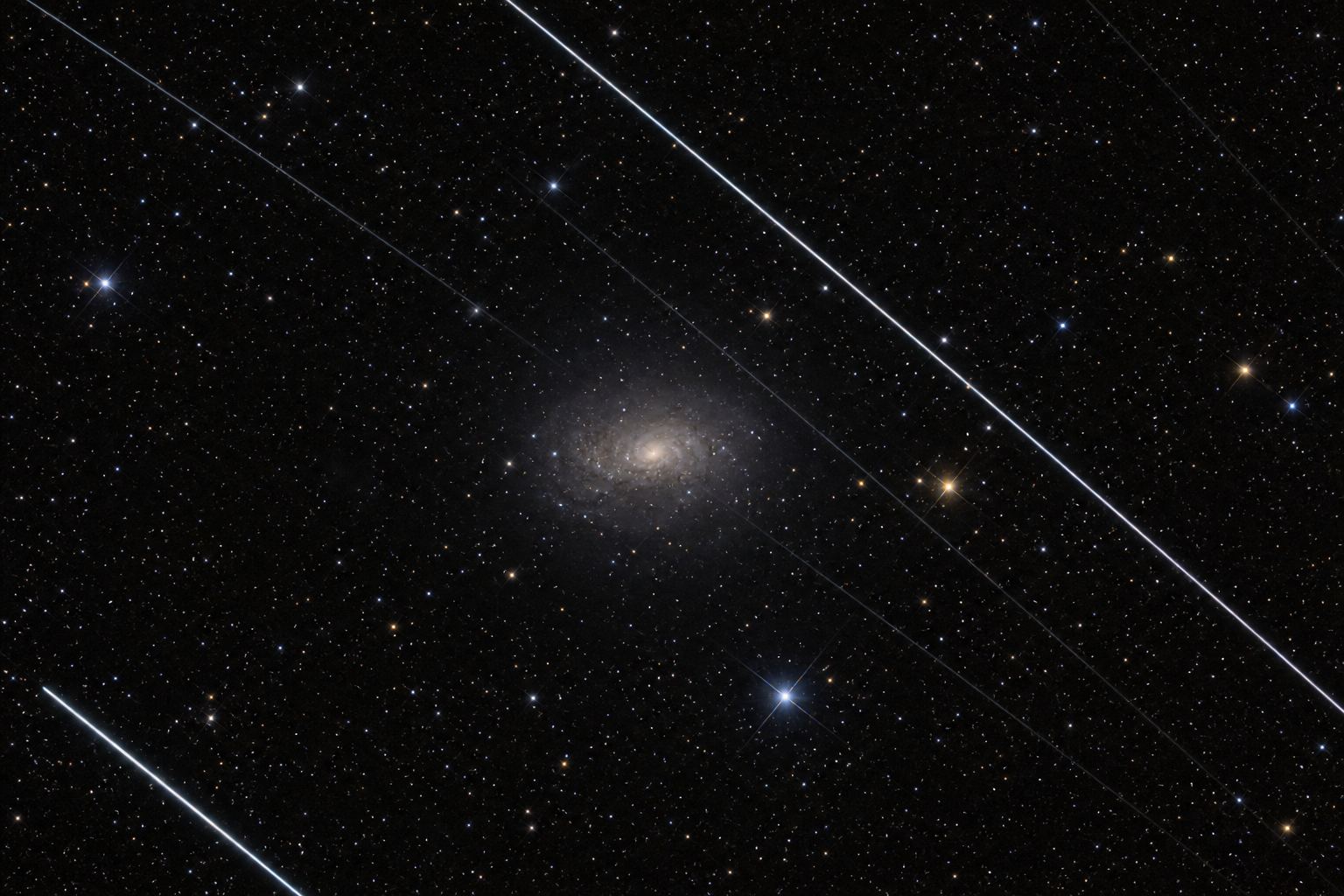
Thousands of satellites also bring costs. Astronomers find bright streaks across their long exposures, and the satellites' radio emissions can drown out faint signals from space.
Collisions are a risk too. SpaceX reported that its satellites swerved to avoid other objects more than 25,000 times in just six months, from December 2022 to May 2023.
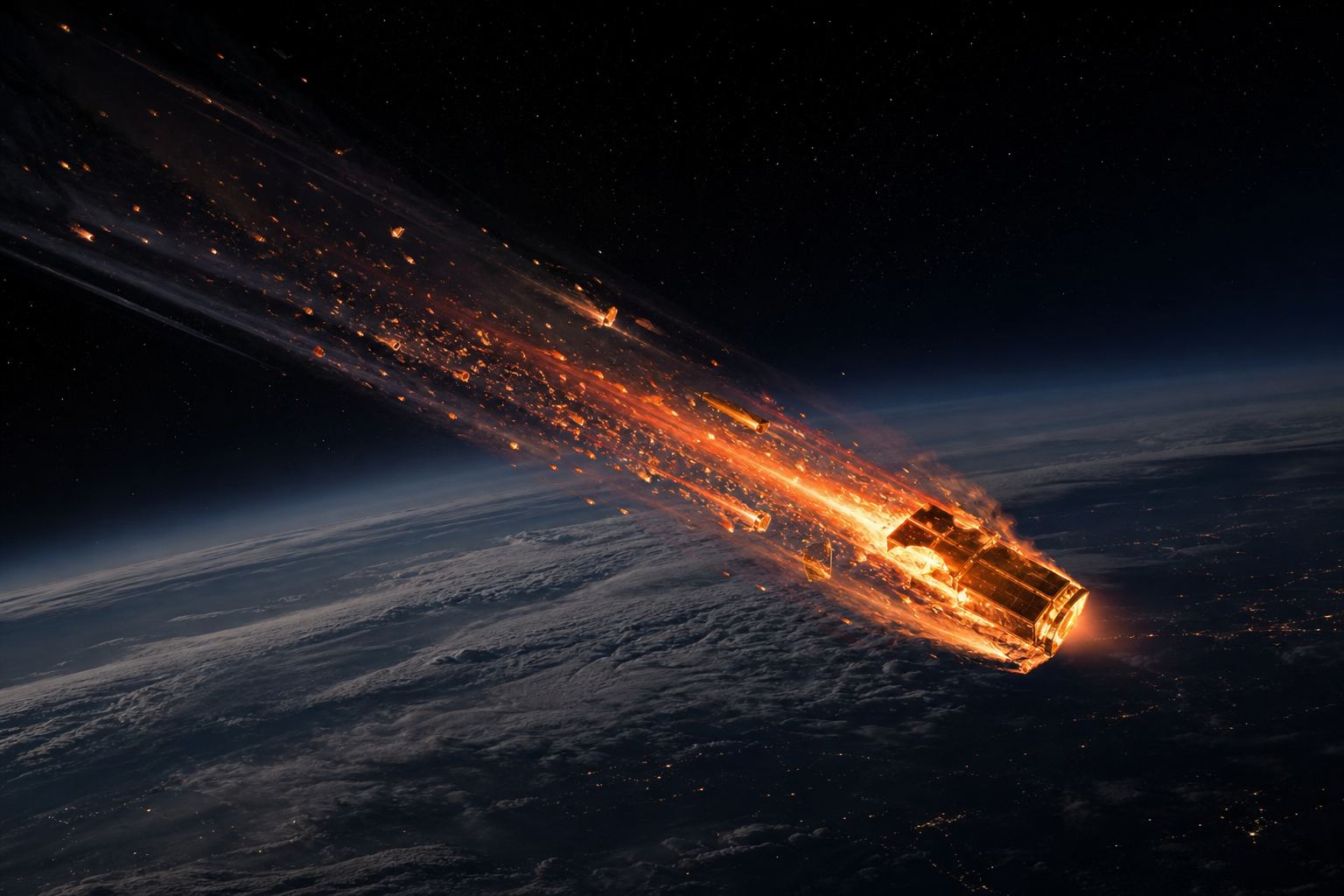
At the end of their lives, low satellites are steered down to burn up in the atmosphere. The open question is whether launches will keep outpacing what comes down.
The International Astronomical Union warns that the tens of thousands of satellites still planned would make these problems hard to fix.
Streaks in a telescope image The IAU says the effect is strongest just after launch, when satellites still travel in tight groups. AI-generated illustration.
>25,000
Starlink avoidance manoeuvres, Dec 2022 – May 2023
×2
the previous six months
Dodging traffic (Britannica)Burning up Starlink satellites carry krypton-fuelled thrusters that are also used to deorbit them. AI-generated illustration.
“The brightness is a main concern for our astronomical field.”IAU, on satellite constellations
International Astronomical Union
Chapter IV · A crowded sky
The price of a megaconstellation
International Astronomical Union: reflective satellite surfaces appear as moving dots and leave bright trails across long exposures, an effect strongest just after launch; combined radio emissions can threaten radio astronomy; and tens of thousands of planned satellites would make the problem hard to mitigate. Britannica: SpaceX reported more than 25,000 avoidance manoeuvres between December 2022 and May 2023, double the previous six months, and in 2021 China told the UN its Tianhe module had twice manoeuvred to avoid Starlink satellites.
eoPortal: Starlink satellites use krypton Hall-effect thrusters for orbit raising, station keeping and deorbiting, and are designed to burn up on re-entry. Try it: compare the number of Starlink satellites drawn for 2019 (60), 2024 (more than 6,000) and 2026 (more than 10,000); one dot stands for about ten satellites.
The globe, orbits, beams and waves are teaching models. Satellites are drawn far larger than life, and orbit heights are to scale only where a number is shown.
A satellite that crosses the sky in minutes is hard to follow with a dish that moves. So the user terminals are flat, and do not swing round to follow each satellite.
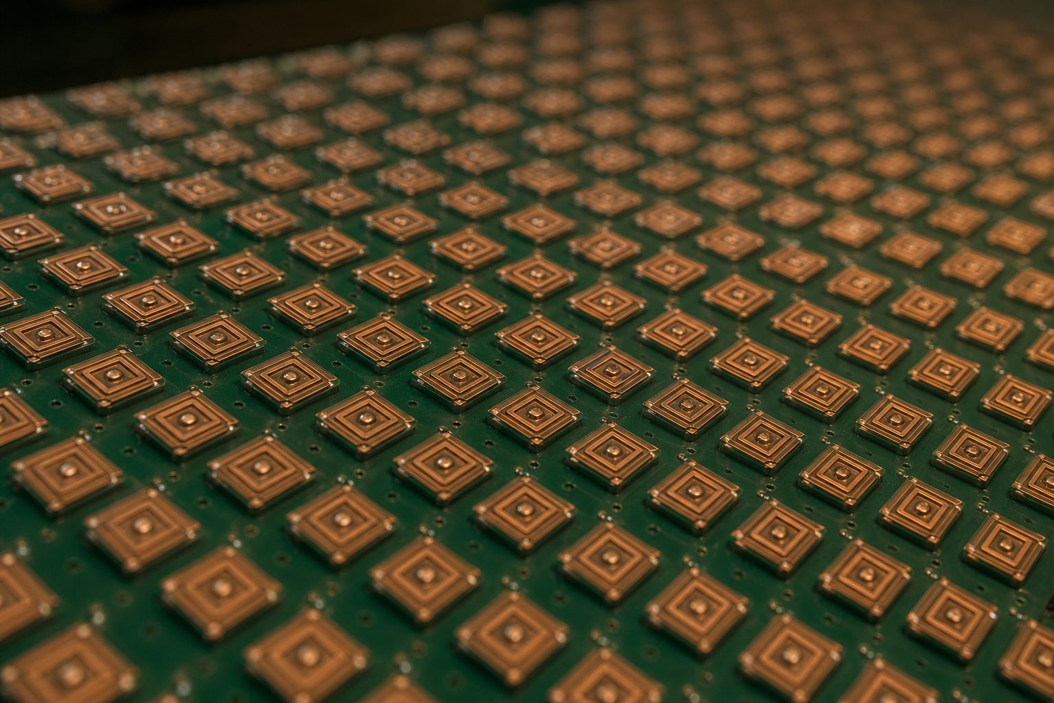
Inside is a phased array: many small antennas side by side. If they all send at the same moment, their waves add up straight ahead.
Delay each one a tiny bit more than its neighbour, and the waves line up at an angle instead. The beam tilts, with no moving parts. Try steering it.
With elements spaced half a wavelength apart, the beam can in theory swing all the way down to the horizon.
Many small antennas Each square patch is one antenna element; together they act as one large, steerable antenna. AI-generated illustration.
Same moment
all elements send together: beam points straight up
In stepΔφ=λ2πdsinθ
Δφ
shift between neighbouring elements
d
spacing of the elements
θ
beam angle
λ
wavelength
The timing that tilts the beam With elements half a wavelength apart, a 180° shift steers the beam 90° in theory.
Follows a satellite across the sky
Switches to the next one in an instant
No motors needed to track
What the flat dish gains
Chapter V · The dish that steers
Steering by timing
Analog Devices, Analog Dialogue: a phased array steers its beam by delaying or phase-shifting the signal of each element and summing them; when the shifts line up the signals from a given direction, they add and the array responds strongly there. The phase shift between neighbouring elements is Δφ = 2π·d·sinθ/λ; with half-wavelength spacing it becomes π·sinθ. eoPortal: Starlink user links use phased-array Ku/Ka-band antennas.
Try it: steer the beam left, straight up or right. The wave pattern is computed from sixteen elements in a line, a simplified slice of a real flat array.
The globe, orbits, beams and waves are teaching models. Satellites are drawn far larger than life, and orbit heights are to scale only where a number is shown.
The links use microwaves, in frequency bands called Ku and Ka. High frequencies carry lots of data, but they have a weakness.
Raindrops absorb them. The shorter the wavelength gets, closer to the size of a raindrop, the more energy heavy rain soaks up.
In a tropical downpour, the signal can fade. Engineers build in a margin of extra power for it, which is why heavy rain is a bigger problem in places like Thailand than in drier lands.
Snow and ice cause no comparable loss. It is liquid water that soaks up the signal.
4 GHz (C band)
≈ 0.1 dB
12 GHz (Ku band)
≈ 5 dB
20 GHz (Ka band)
≈ 12 dB
Loss in 25 mm/h rain over a 5 km path
≈ 1.5 mm
an average raindrop
≈ 15 mm
wavelength at 20 GHz (Ka band)
≈ 75 mm
wavelength at 4 GHz (C band)
Sizes comparedRain fade Every 10 dB of loss means the signal arrives with a tenth of its power. AI-generated illustration.
Rain
liquid water: strong loss
Snow, ice
no comparable loss
What absorbs
Chapter V · The dish that steers
Why rain gets in the way
Via Satellite (2003): raindrops absorb energy from passing radio waves, and attenuation grows with rain density and as the wavelength approaches the size of a raindrop (about 1.5 mm across on average). In 25 mm/h rain over a 5 km path, losses are about 0.1 dB at 4 GHz, about 5 dB at 12 GHz (Ku band) and about 12 dB at 20 GHz (Ka band); operators add a “rain margin” of extra power, and high-rain regions suffer much more degradation. eoPortal: Starlink’s user links use the Ku and Ka bands.
Try it: switch between a dry sky and a tropical storm. The drop in signal strength in the scene is schematic.
The globe, orbits, beams and waves are teaching models. Satellites are drawn far larger than life, and orbit heights are to scale only where a number is shown.
The satellite is only a relay. Your request goes up to it, then down to a ground station, a gateway, which connects it to the rest of the internet.
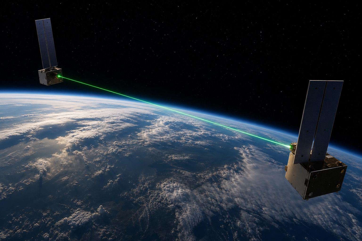
Far from any gateway, at sea or over remote land, newer Starlink satellites pass data between each other with lasers, until it reaches one that can see a ground station.
Either way, every terminal, satellite and gateway answers to the same operator's network.
Dish → satellite (radio)
Satellite → gateway (radio)
Gateway → the rest of the internet
The answer comes back the same way
The path of one requestLaser links Optical links first flew on Starlink’s V1.5 satellites; SpaceX said all future satellites would carry them. AI-generated illustration.
Terminal
registered to an account
Satellites
commanded by the operator
Gateways
run by or for the operator
One network
Chapter VI · Down to the ground
Gateways and lasers
eoPortal: the Starlink system relies on ground stations and user terminals, and SpaceX planned to install ground stations in Google’s data centres; optical inter-satellite laser links first appeared on V1.5 satellites, and SpaceX said laser terminals would be added to all future satellites. Wikipedia, Iridium: inter-satellite links let calls pass between neighbouring satellites before coming down.
Try it: route a request through a nearby gateway, or across laser links to a distant one. The routes are schematic, not real network maps.
The globe, orbits, beams and waves are teaching models. Satellites are drawn far larger than life, and orbit heights are to scale only where a number is shown.
That is where the control lies. Because each terminal connects through the operator's satellites, the operator can decide where the service works, and on what terms.
In Ukraine, SpaceX switched Starlink on in February 2022, and later blocked it in Russian-occupied areas with geofencing. In February 2026, only approved terminals were left working.
In October 2026, terminals were capped at a travelling speed of about 100 miles, or 160 kilometres, an hour, which hit fast-moving drones. Ukraine said the limit was lifted on 24 October.
None of this needs anyone to touch a single dish. It is set inside the network, from far away.
Feb 2022 Activated country-wide; first terminals arrive
2022–23 Occupied areas geofenced out
Feb 2023 Some military uses restricted
Feb 2026 Whitelist: unlisted terminals cut off
Oct 2026 Speed cap, then restored
Rules set from afar
Where: geofenced areas
Who: approved terminals only
How: speed and usage limits
What an operator can set
~100 mph
travelling speed above which links failed
>250 mph
stable after restoration, per Ukraine’s defence ministry
The October limit (NPR)
0
dishes that need touching to change the rules
Set from afar
Chapter VI · Down to the ground
Control by design
Wikipedia, Starlink in the Russo-Ukrainian war: SpaceX activated Starlink in Ukraine after a request on 26 February 2022, with the first terminals arriving on 28 February; it blocked service in Russian-occupied areas, including Crimea, by geofencing, restricted some military uses such as controlling combat drones from February 2023, and in February 2026 cut service to all terminals in Ukraine not on a whitelist, which disrupted Russian military communications. NPR: the October 2026 limits capped speeds at about 100 mph; Ukraine’s defence ministry said connectivity was stable for objects faster than 250 mph after the restoration recorded on 24 October.
Who ordered the October limit is disputed: Musk said SpaceX closed a “loophole”; Ukrainian officials denied breaking the terms; the Trump administration denied a role (CBS, NPR, Washington Post). Try it: turn on a geofence, or a speed cap, on the schematic map.
The globe, orbits, beams and waves are teaching models. Satellites are drawn far larger than life, and orbit heights are to scale only where a number is shown.
From one satellite hanging high above the equator to thousands racing just overhead, the trick is the same: a relay in the sky. What changed is speed, scale, and how much can depend on one network.
So the next time you see a flat dish in a field, remember: behind it is a whole network, and someone deciding how it runs. Who that should be is a question the world is still arguing about.
1945 Clarke describes the still orbit
1962 Telstar: first live transatlantic TV
1993 Thaicom 1
1998 Iridium: 66 low satellites
2019 First 60 Starlink satellites
2026 >10,000 Starlinks; Ukraine slowdown
Relays in the sky
1 network
satellites, gateways and accounts
1 operator
who sets where and how it works
Behind every dish
Stills are AI-generated
Globe uses NASA Blue Marble imagery
Satellites, beams and routes are schematic
About this film
Epilogue · Sources
Sources
Every fact in this film comes from the sources below. Latency times are computed from the speed of light where stated. The chapter stills and pictures are AI-generated illustrations; the globe uses NASA Blue Marble imagery. Satellites, beams, coverage circles and routes are schematic and not to scale unless a number is shown. On the October 2026 slowdown in Ukraine, the parties’ accounts differ and are attributed to each.