In October 2026 a study in Science found that Native Hawaiians and the people of Rapa Nui, about 7,100 km apart, are, of all Polynesians, the most closely related, descended from one voyaging people of eastern Polynesia. This film explains the voyages behind that result: how speakers of Austronesian languages and the Lapita culture spread into the Pacific, how East Polynesia was reached in a burst around AD 1000 to 1300, how double-hulled canoes carried families, plants and animals, how navigators found islands with a star compass, swells, birds and clouds, how they met the Americas, and how the voyaging canoe Hōkūleʻa revived the art fifty years ago.
Interactive 3D film8 minAbout 1600 BC to AD 2026Published 30 October 2026
Hawaiʻi and Rapa Nui, also called Easter Island, lie about seven thousand one hundred kilometres apart. Yet in October 2026 a genetic study in the journal Science found that, of all Polynesians, their native peoples are the most closely related.
Comparing the DNA of more than a thousand Polynesians, the researchers concluded that people from Mangareva, in French Polynesia, settled Rapa Nui in the twelve hundreds, and that some of their descendants probably sailed on to Hawaiʻi. The team calls these voyagers Holomoana Nui, Hawaiian for great ocean voyaging.
The Pacific covers a third of the planet, and its islands are specks. How did people find them, centuries before compasses and charts reached this ocean?
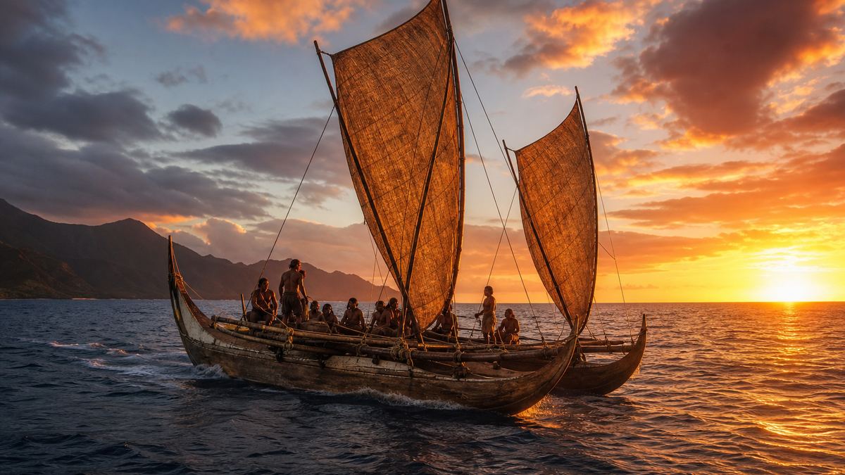
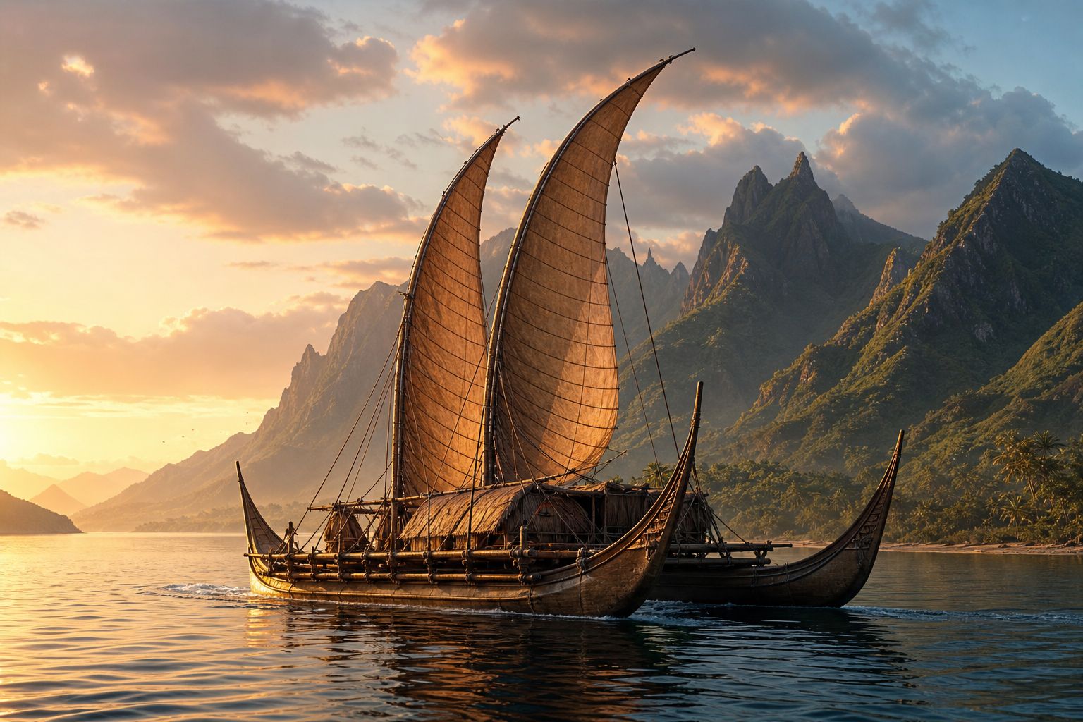
Open ocean A double-hulled voyaging canoe at sunrise. AI-generated still.
1,000+
Polynesian genomes (full DNA), 317 of them Native Hawaiian
61%
of the study’s population trees put Hawaiʻi next to Rapa Nui
The study (Science, Oct 2026)
Where the voyagers came from
The double-hulled canoe
Steering by stars, swells, birds and clouds
The revival of wayfinding
In this film
Prologue
One voyaging people
West Hawaii Today, reporting Reuters on the study in Science (21 October 2026): Native Hawaiians are genetically closest to the people of Rapa Nui; Rapa Nui was settled in the 1200s by people from Mangareva in French Polynesia, and a subset then sailed on to Hawaiʻi, likely in the same century, more than 7,100 km; the team analysed more than 1,000 Polynesian genomes, including 317 Native Hawaiians, 12 Rapa Nui and 8 Mangarevans, and 61% of reconstructed family trees paired Hawaiʻi and Rapa Nui; the researchers call the voyagers Holomoana Nui, “great ocean voyaging”. Live Science: the method compares the lengths of chromosome segments shared between islands; archaeologist Patrick Kirch, not involved, says the results agree with archaeological evidence. Pacific Data Hub: the Pacific covers one-third of Earth’s surface.
The Rapa Nui sample is small (12 people), so the finer details may change with more data.
The globe, routes and ocean scenes are simplified teaching models: island positions are approximate, routes are drawn as smooth arcs, and distances on the ocean scene are not to scale.
The voyagers' story starts in Asia. Polynesian languages belong to the Austronesian family, about twelve hundred languages, one fifth of all the languages on Earth.
Before Europeans sailed out, it was the most widespread language family of all: from northern Taiwan to New Zealand, and from Madagascar off Africa to Rapa Nui. That is about two hundred and six degrees of longitude, more than half the way around the world.
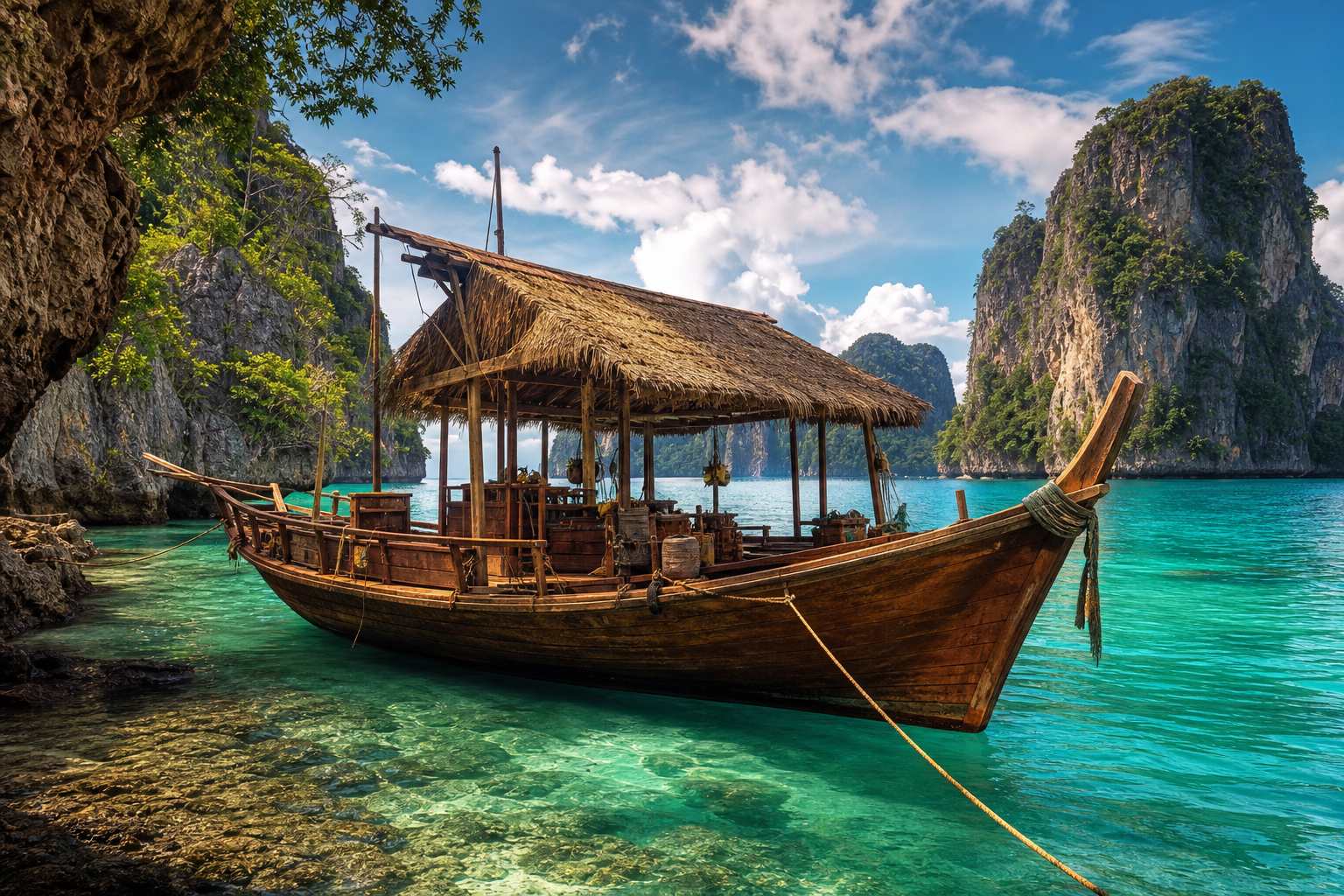
It reaches Thailand too. The Moken, sea nomads of the Andaman Sea, speak an Austronesian language, distant kin of Hawaiian and Māori.
~1,200
languages
1 in 5
of the world’s languages
206°
of longitude, Madagascar to Rapa Nui
Austronesian languages (Britannica)
North: Taiwan, 25° N
South: New Zealand, 47° S
West: Madagascar
East: Rapa Nui
From end to endThe Andaman Sea A sea-nomad boat among limestone islands. AI-generated still.
Chapter I · Out of Asia
A sea of languages
Encyclopaedia Britannica: the Austronesian family has about 1,200 members, roughly one-fifth of the world’s languages; before European colonial expansion it was more widely spread than any other family, from Madagascar to Easter Island across about 206 degrees of longitude, and from 25° N in northern Taiwan to 47° S on New Zealand’s South Island. Wikipedia: Moken is a Malayo-Polynesian language of the Austronesian family, spoken around the Andaman Sea in southern Myanmar and southern Thailand, and is threatened with extinction.
The globe, routes and ocean scenes are simplified teaching models: island positions are approximate, routes are drawn as smooth arcs, and distances on the ocean scene are not to scale.
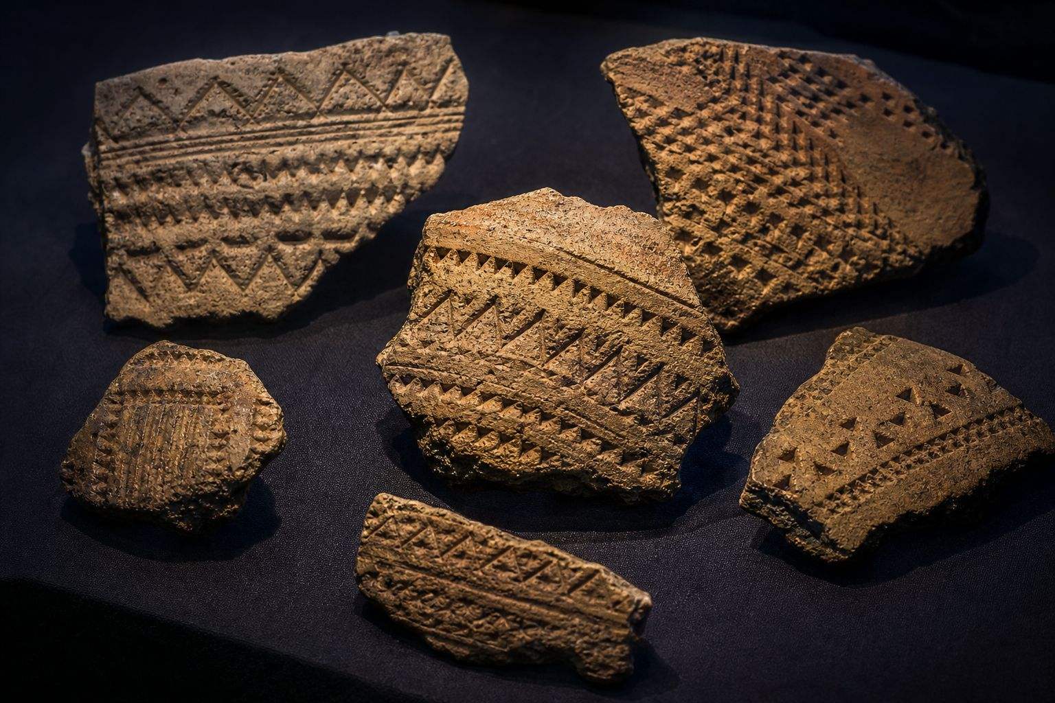
Archaeologists trace the first voyages into the remote Pacific to the Lapita culture, named after its pottery, stamped with fine geometric patterns. Its people reached the Bismarck Archipelago near New Guinea, then Fiji, Tonga and Samoa by about 1000 BC.
Then came a long pause. Radiocarbon dates, which measure how much carbon-14 is left in ancient seeds and charcoal, from forty-seven islands show that East Polynesia, the islands east of Samoa, was reached much later: the Society Islands, including Tahiti, around AD 1025 to 1120.
The far corners, Hawaiʻi, New Zealand and Rapa Nui, followed in one great burst between AD 1190 and 1290. Try stepping through the eras on the globe.
Lapita pottery Sherds with stamped geometric patterns. AI-generated still.
from 1600 BC Solomon Islands
by 1000 BC Fiji, Tonga, western Polynesia
Lapita (Britannica)
Society Islands
1025–1120
Hawaiʻi, NZ, Rapa Nui
1190–1290
Settlement dates, East Polynesia (PNAS, 2011) From more than 1,400 radiocarbon dates on 47 islands.
~100 years
to reach Hawaiʻi, New Zealand and Rapa Nui
3
corners of the Polynesian Triangle
The far corners (PNAS, 2011)
Chapter I · Out of Asia
Lapita and the long pause
Encyclopaedia Britannica: the Lapita culture, about 1600–500 BC, is named after a pottery type first studied at Lapita, New Caledonia, often decorated with geometric patterns stamped into wet clay; its people, skilled sailors who came from Taiwan and other parts of East Asia, reached the Bismarck Archipelago, the Solomon Islands from about 1600 BC, and Fiji, Tonga and western Polynesia by 1000 BC; they were presumably the original settlers of Melanesia, much of Polynesia and parts of Micronesia. University of Hawaiʻi, on Wilmshurst et al. in PNAS (2011): more than 1,400 radiocarbon dates from 47 islands show the Society Islands were settled around AD 1025–1120 and remote East Polynesia, including New Zealand, Hawaiʻi and Rapa Nui, in one major dispersal between AD 1190 and 1290.
Try it: step through the eras; each era lights up the islands settled by then.
The globe, routes and ocean scenes are simplified teaching models: island positions are approximate, routes are drawn as smooth arcs, and distances on the ocean scene are not to scale.
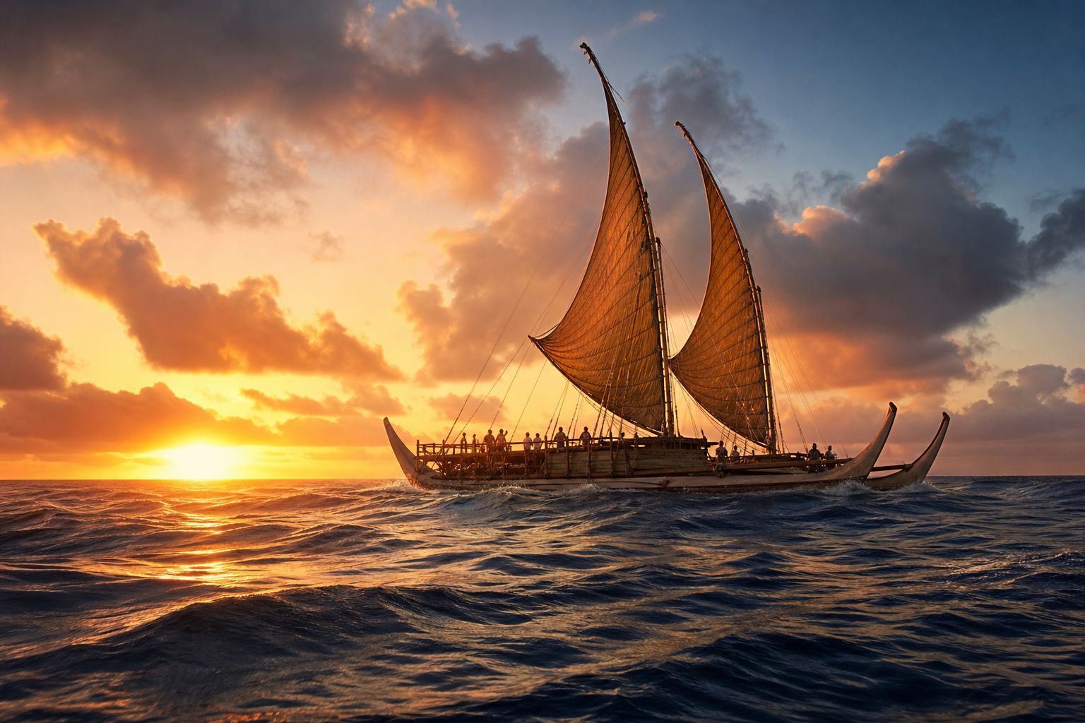
They sailed double-hulled canoes: two hulls joined by a deck, driven by sails and paddles. Long-distance canoes were typically about twenty metres long and could cover a hundred and fifty to two hundred and fifty kilometres a day. The largest, like the Fijian ndrua, reached thirty-six metres and were said to carry up to two hundred and fifty people.
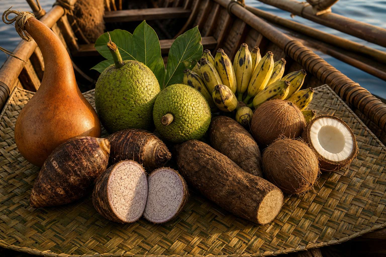
These were not drifting rafts. They carried everything needed to start a new life: taro, breadfruit, bananas, yams and sugar cane, coconuts for food and drink, and pigs, dogs and chickens. Water was stored in gourds, and rain was caught in the sails.
These canoe plants and animals turn up on most Polynesian islands. Drifting by accident could not have brought them all, so the voyages were planned.
~20 m
typical length
150–250 km
a day
5–15
typical crew
A long-distance canoe (Te Ara)
36 m
long
up to 250
people, by reports
The largest: the Fijian ndrua (Te Ara)The canoe plants Taro, breadfruit, coconuts, bananas and yams on a mat. AI-generated still.
Te Ara: long-distance double-hulled canoes such as the Hawaiian waʻa kaulua were typically about 20 m long and could travel 150–250 km a day, with crews of five to 15; the Fijian ndrua reached 36 m and reportedly carried up to 250 people; food on board included bananas, taro, kūmara, breadfruit, yams, chickens, pigs and fish, coconuts gave food and drink, and water was kept in gourds and caught from rain in the sails. PBS Wayfinders: taro, bananas, yams, breadfruit and sugar cane, with pigs, dogs and chickens, appear on most Polynesian islands; accidental drift voyages were unlikely to bring them all, so voyagers carried them deliberately.
The globe, routes and ocean scenes are simplified teaching models: island positions are approximate, routes are drawn as smooth arcs, and distances on the ocean scene are not to scale.
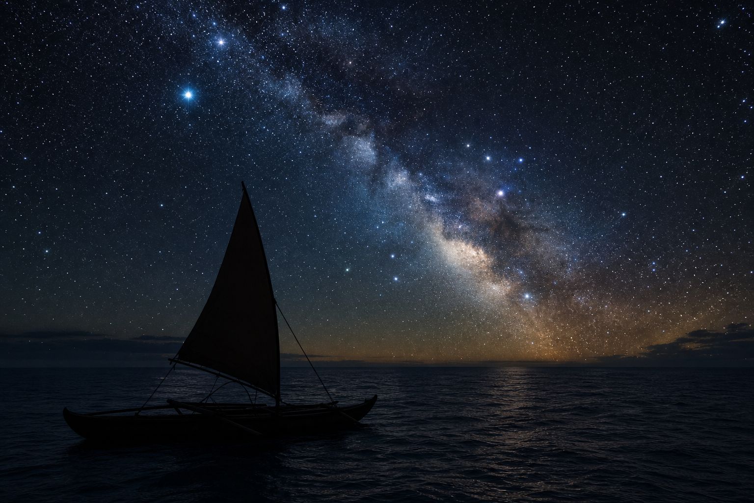
How do you steer across open ocean with no instruments? The first answer is the sky. Navigators memorise where stars rise and set on the horizon, and steer towards a star low in the sky, switching to the next when it climbs too high. Seven to twelve stars could guide a whole night.
The Hawaiian star compass, developed by the master navigator Nainoa Thompson from what his teacher Mau Piailug taught him, divides the horizon into thirty-two houses, each eleven and a quarter degrees wide. It exists only in the navigator's mind.
A star that rises in one house always sets in the matching house on the other side. Some stars pass straight overhead an island: sail beneath one, and you are within about eighty kilometres of that island. Arcturus, for example, passes over Hawaiʻi.
Stars on the horizon The Milky Way rising over a dark sea. AI-generated still.
7–12
stars are enough for one night
One night’s guide (Te Ara)
32
houses around the horizon
11.25°
per house
~220
stars a navigator learns
The star compass (Polynesian Voyaging Society)
A star passing straight overhead marks a latitude
Arcturus for Hawaiʻi
Under it: within about 80 km of the island
Zenith stars (Te Ara)
Chapter III · Reading sky and sea
The star compass
Polynesian Voyaging Society: the Hawaiian star compass, developed by master navigator Nainoa Thompson, is drawn from what Mau Piailug taught (“This mental construct of the star compass with its Hawaiian names is from Mau”); it is “a mental construct and not physical like a western compass”; it divides the horizon into 32 houses 11.25° apart; celestial bodies travel parallel paths, so a star rising in a given house sets in the matching house on the opposite side; navigators memorise the rising and setting of about 220 stars. Te Ara: navigators steered towards a star on the horizon and switched to another when it rose too high or set; seven to 12 stars were enough for one night; sailing beneath a zenith star placed a navigator within about 80 km of the target island, Arcturus for Hawaiʻi.
Try it: step through the stars and see a rising house and its matching setting house. The star paths are schematic.
The globe, routes and ocean scenes are simplified teaching models: island positions are approximate, routes are drawn as smooth arcs, and distances on the ocean scene are not to scale.
Under cloud, navigators read the ocean. They kept a steady angle to the long swells pushed up by the trade winds, feeling how the canoe rolled and pitched. A rope trailed behind the canoe showed, by its angle, whether the canoe was slipping sideways off course.
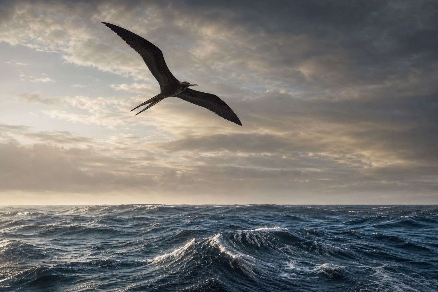
Nearing land, nature gives clues. Birds that fish at sea and fly home at sunset point the way: terns about fifty kilometres out, frigatebirds up to a hundred. Clouds pile up over high islands and can be seen a hundred and fifty kilometres away.
So a tiny island is really surrounded by a much wider target. Switch between the signs and watch the target grow. Pinkish cloud can even reveal a reef, and green cloud a forest.
Trade-wind swell Long ocean swells, a frigatebird overhead. AI-generated still.
Terns
~50
Gannets, petrels
~70
Frigatebirds
~100
Clouds over a high island
~150
How far out a sign of land can be seen (Te Ara)
Waves bouncing back off land: 50–300 km
Green or pinkish cloud: forest or reef
Driftwood, leaves, the scent of land
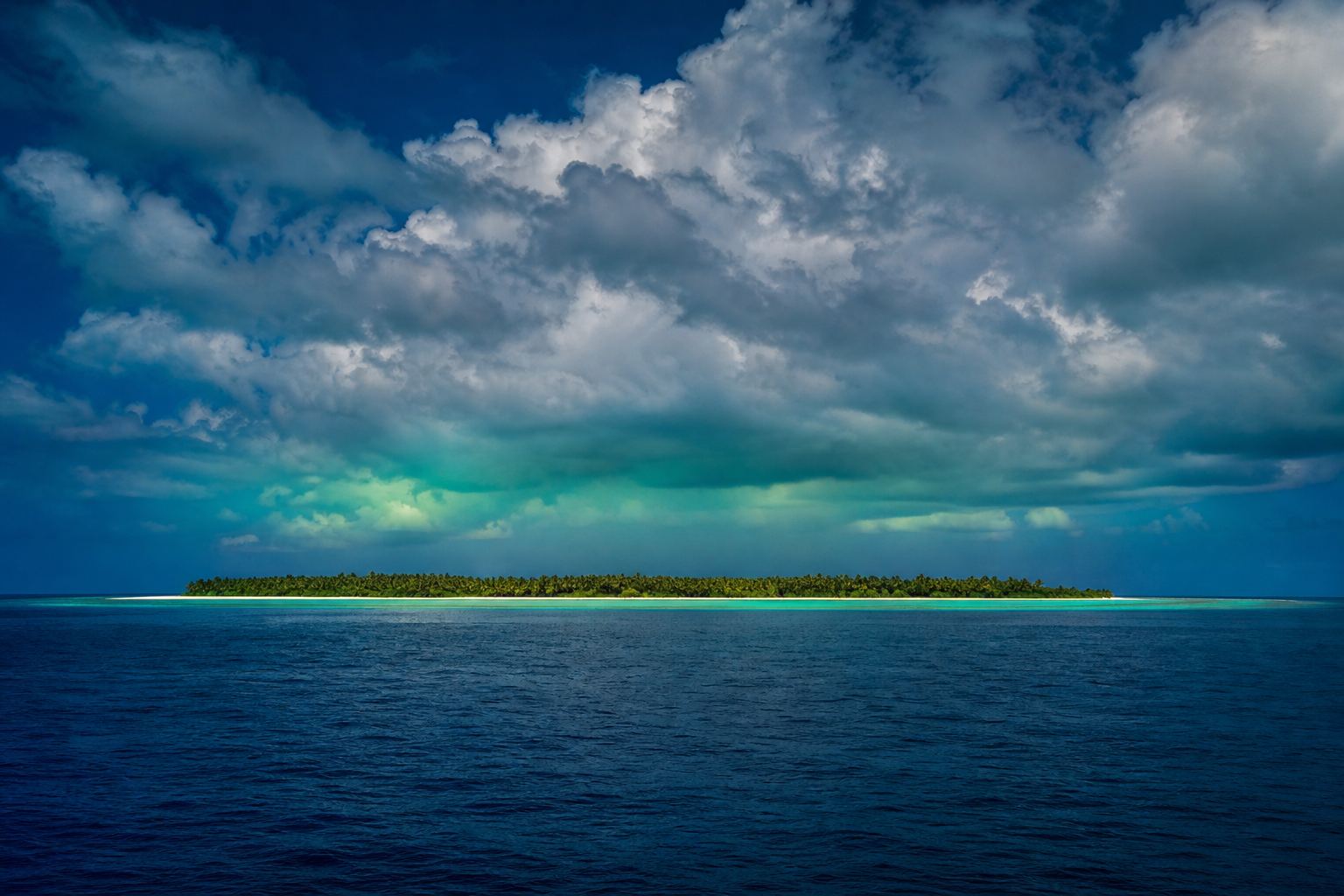
More signs (Te Ara)Cloud over a low island Over a small atoll, cloud can be seen only about 50 km away. AI-generated still.
Chapter III · Reading sky and sea
Reading the sea
Te Ara: when skies were overcast, navigators kept a constant angle to the steady swells pushed up by the trade winds; birds that fish at sea and return to land at sunset indicate land: frigatebirds range up to about 100 km from land, gannets and petrels about 70 km, terns about 50 km; clouds over high islands can be seen about 150 km away and over small atolls about 50 km; pinkish cloud indicates a reef and green cloud forest; waves bouncing back off an island can be detected about 50 km from small islands and up to 300 km from land masses the size of New Zealand.
Try it: the rings show how far each sign reaches around one island, drawn to the distances above.
The globe, routes and ocean scenes are simplified teaching models: island positions are approximate, routes are drawn as smooth arcs, and distances on the ocean scene are not to scale.
Hawaiʻi, New Zealand and Rapa Nui mark the corners of the Polynesian Triangle. The new study traces who settled its eastern half: Tahiti's founding generation, roughly eight hundred people, arrived around 1070.
According to the study, Mangarevans settled Rapa Nui in the twelve hundreds, and some of their descendants probably sailed on to Hawaiʻi. Each new island was founded by a small group, so the genes of a few founders became common.
This founder effect is more than ten times stronger in Native Hawaiians than in groups often studied for it in Europe. Among eastern Polynesians it also made some rare gene variants, linked to kidney disease and vision loss, more common, which the researchers say deserve medical study.
Rapa Nui A windswept volcanic coast. AI-generated still.
~1070 Tahiti founded by ~800 people
1200s Mangarevans settle Rapa Nui
1200s A subset sails on to Hawaiʻi
Filling East Polynesia (Science, 2026)
> 10×
stronger in Native Hawaiians than in the Amish, Finns or Ashkenazi Jews, groups well known for it
2–3%
of eastern Polynesians studied carry one of three rare variants
Founder effects (Live Science)
Chapter IV · The triangle
Founders
West Hawaii Today / Reuters: Tahiti’s founding generation was roughly 800 people arriving around 1070; Rapa Nui was settled in the 1200s by people from Mangareva and a subset sailed on to Hawaiʻi, likely in the same century; Mangarevan ancestry is the second-largest source for Native Hawaiians after Rapa Nui ancestry; founder effects concentrated rare variants linked to kidney disease and blindness. Live Science: the founder effect in Native Hawaiians is more than 10 times larger than in the Amish, Finns and Ashkenazi Jews; three rare variants linked to dislocated lenses, progressive vision loss and kidney failure were found in 2–3% of the eastern Polynesians studied, and Stanford’s Alexander Ioannidis argues for more research into clinically significant variants. This is education, not medical advice.
The globe, routes and ocean scenes are simplified teaching models: island positions are approximate, routes are drawn as smooth arcs, and distances on the ocean scene are not to scale.
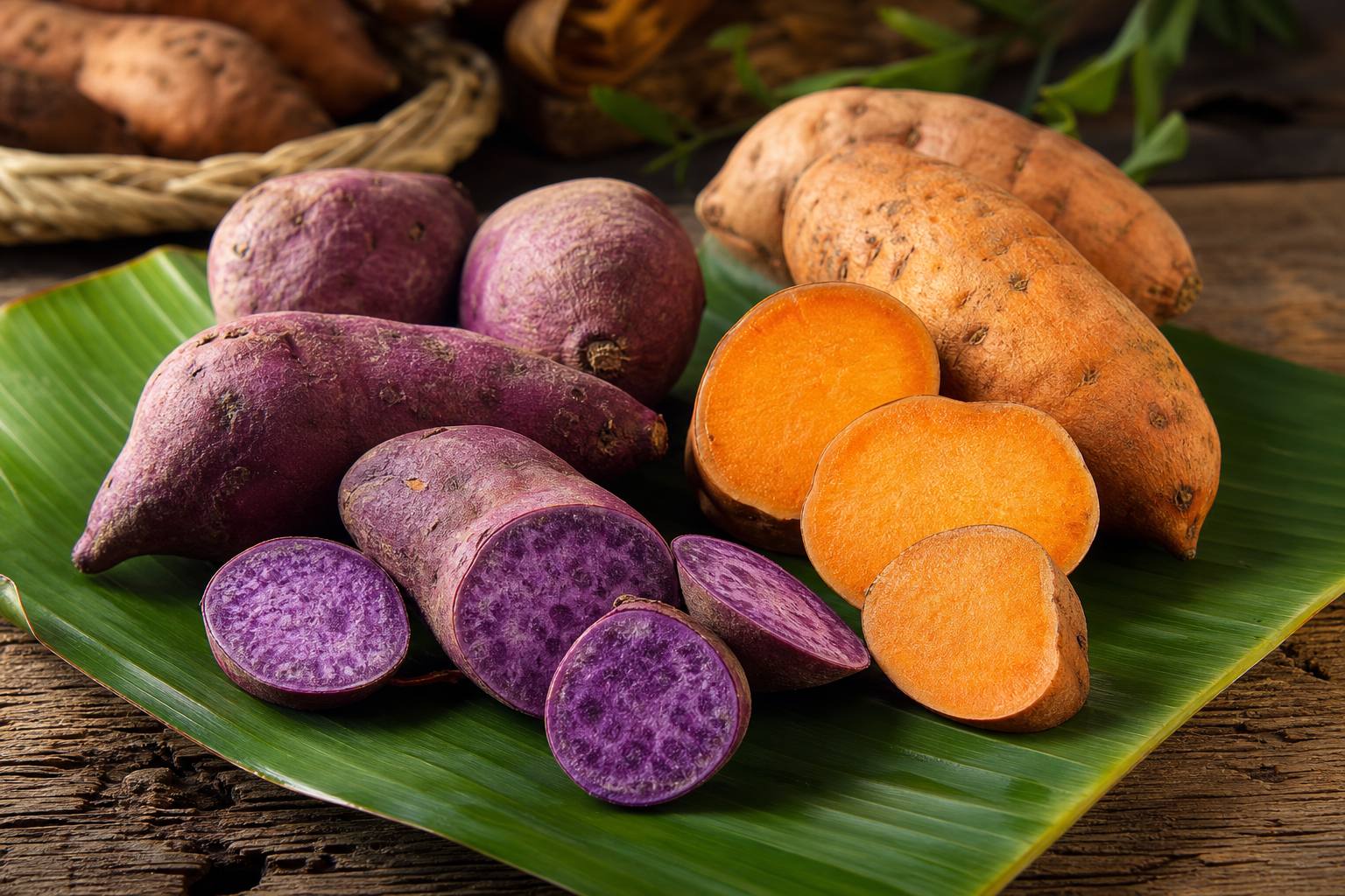
Did they reach the Americas? The sweet potato, first domesticated in South and Central America, was growing in Polynesia before Europeans arrived, and its Polynesian name seems related to an Andean word.
In 2020 a genetic study in Nature found Native American ancestry in Polynesians, traced to people of what is now Colombia, and estimated that contact happened around AD 1200, about when the eastern islands were being settled. Whether the two peoples met on an island or on the South American coast is still debated, but the meeting came centuries before Europeans entered the Pacific.
The sweet potato Sweet potatoes on a banana leaf. AI-generated still.
~AD 1200
estimated date of contact
Colombia
where the Native American ancestry traces to
Polynesian–Native American contact (Nature, 2020)
Did the mixing happen on an island…
…or on the South American coast?
Either way, before Europeans
Still debated (Live Science, 2026)
Chapter IV · The triangle
Meeting the Americas
Stanford Medicine, on Ioannidis et al. in Nature (8 July 2020): the team found Native American ancestry in Polynesians traced to modern-day Colombia and dated the contact to around AD 1200, roughly when Polynesian people were first settling those islands; the sweet potato, domesticated in South and Central America, also grew in Oceania before European contact, and its Polynesian name appears related to an Indigenous Andean word. Live Science (2026): it is still unclear whether that mixing happened on an island or on the continent.
The globe, routes and ocean scenes are simplified teaching models: island positions are approximate, routes are drawn as smooth arcs, and distances on the ocean scene are not to scale.
By the twentieth century, European ships had replaced the voyaging canoes across most of Polynesia, and much of the old knowledge had faded. In 1973, as a scientific experiment to test whether the old voyages could be sailed, the Polynesian Voyaging Society began building a twenty-metre double-hulled canoe: Hōkūleʻa.
On the first of May 1976 it left Maui for Tahiti, guided without instruments by Mau Piailug, a master navigator from Satawal in Micronesia. He steered by stars such as Antares, and by the swells. He had never sailed this route before.
After thirty-one days at sea, Hōkūleʻa reached Papeʻete on the fourth of June, where more than seventeen thousand people came to greet it. This year marks fifty years since that voyage.
A replica canoe A double-hulled canoe leaving a bay at dawn. AI-generated still.
1 May
left Honolua Bay, Maui
4 Jun
arrived Papeʻete, Tahiti
31
days at sea
Maui to Tahiti, 1976 (Maui Now)
The voyages showed that “navigation without modern instruments was possible.”on Hōkūleʻa’s 1976 and 1980 voyages
Te Ara: colonisation replaced canoes with European ships; the Polynesian Voyaging Society built Hōkūleʻa, a 20-metre double-hulled canoe, and its voyages to Tahiti, in 1976 guided by Mau Piailug and in 1980 by his student Nainoa Thompson, showed that navigation without modern instruments was possible. Polynesian Voyaging Society: the project began in 1973; Mau Piailug was a traditional navigator from Satawal, a small island in Micronesia; more than 17,000 people gathered at Papeʻete to greet the canoe. Maui Now: Hōkūleʻa left Honolua Bay, Maui, on 1 May 1976, made landfall at Mataiva on 1 June and arrived at Papeʻete on 4 June after 31 days at sea; 1 May 2026 marked the 50th anniversary. Popular Science: Mau steered toward the rising point of Antares, the “Fishhook of Maui”, and watched swells and birds.
Try it: sail the 1976 route on the globe. The line is drawn as a smooth arc, not the canoe’s exact track.
The globe, routes and ocean scenes are simplified teaching models: island positions are approximate, routes are drawn as smooth arcs, and distances on the ocean scene are not to scale.
Long before compasses and charts arrived, people crossed the largest ocean on Earth on purpose, with families, plants and animals on board, and settled islands across it, from Hawaiʻi to New Zealand to Rapa Nui.
They did it with knowledge held in memory: the houses of the stars, the feel of the swells, the flight of birds at dusk. The new genetic study shows how far that knowledge carried them.
Which routes linked the far islands? How often did canoes sail back home? Genes, carbon dates and voyaging canoes are still filling in the answers.
from 1600 BC Lapita voyagers reach the Solomon Islands
by 1000 BC Fiji, Tonga, Samoa
AD 1025–1120 Society Islands
AD 1190–1290 Hawaiʻi, New Zealand, Rapa Nui
1976 Hōkūleʻa sails to Tahiti
2026 Genes link Hawaiʻi and Rapa Nui
Into the Pacific
The routes between the far islands
How often voyagers returned
Where the meeting with the Americas happened
Still open
Stills are AI-generated
Routes and island positions are approximate
The canoe and ocean scenes are models
About this film
Epilogue · Sources
Sources
Every fact in this film comes from the sources below. The chapter stills and pictures are AI-generated illustrations; no real people are shown. The globe uses NASA Blue Marble imagery with approximate island positions and smooth route arcs; the canoe, the star compass and the ocean scene are teaching models. The film draws on Native Hawaiian and Polynesian voyaging knowledge as published by the Polynesian Voyaging Society and Te Ara.