On 26 August 2026 a mass of rock and glacier ice fell from Langtang Lirung in the Himalaya and swept down valleys in Nepal and Tibet; scientists from World Weather Attribution called it a compound crisis of warming, thawing ice and unstable rock. This film explains the established science of landslides behind that news: the balance of gravity against friction and cohesion on a slope, the factor of safety, why water in the ground is the commonest trigger, the main kinds of mass movement from rockfalls to debris flows and creep, the triggers from rain and earthquakes to volcanoes and people, landslide dams and the floods they release, the Vajont disaster of 1963, and how places like Hong Kong learned to watch their slopes.
Interactive 3D film11 min1963 to 2026Published 4 November 2026
How landslides work, what sets them off, and how we watch for them.
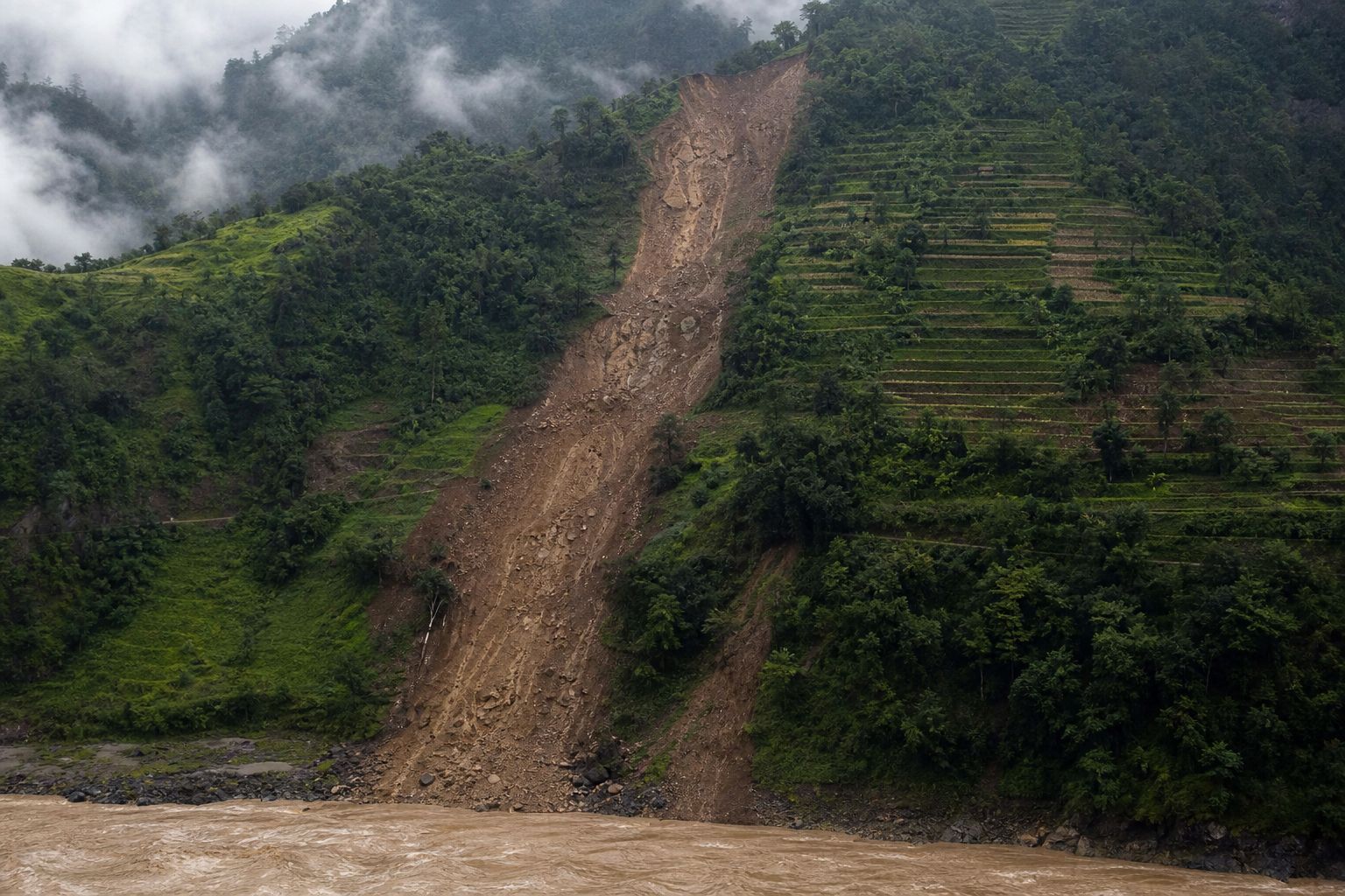
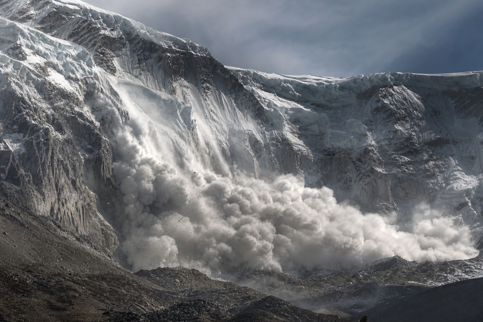
On the morning of 26 August 2026, a huge mass of rock and glacier ice broke off Langtang Lirung, a Himalayan peak near Nepal's border with Tibet.
It became a torrent of water, ice and boulders that wrecked villages on both sides of the border. By mid-September more than fourteen hundred people were confirmed dead, and thousands were still missing.
Six weeks later, another landslide blocked the Budhi Gandaki River in Gorkha, then burst through.
Scientists called the first disaster a compound crisis. To see why, we need the physics of a slope.
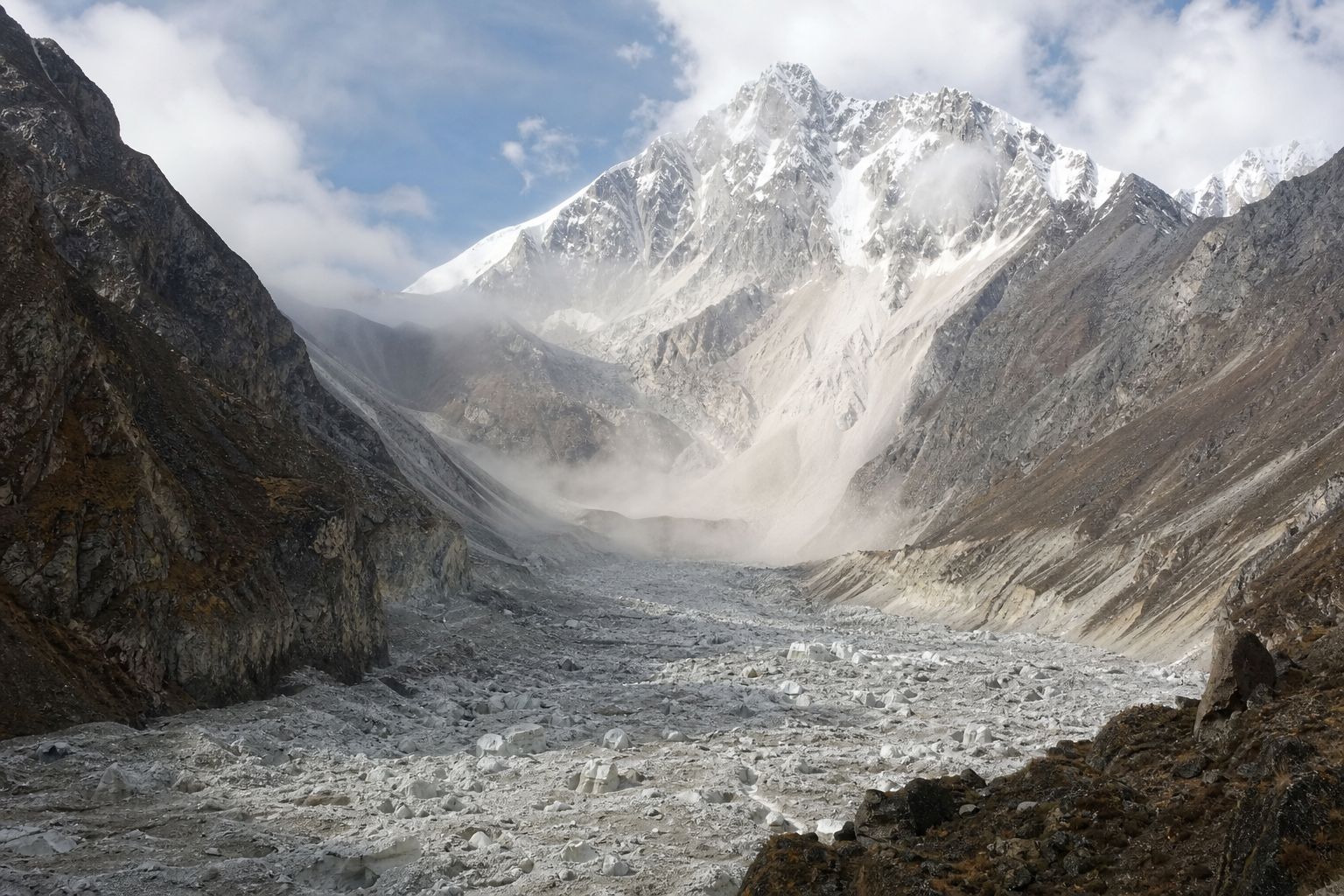
The morning after Mud, ice blocks and boulders fill a valley floor below a scarred peak. AI-generated still.
1,446
dead in Nepal and China
6,669+
still missing
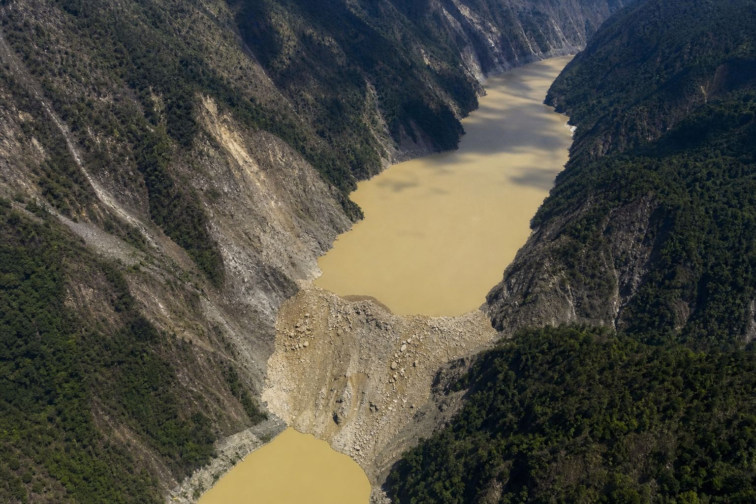
Al Jazeera, as of 17 September 2026Gorkha, 11 October A lake backs up behind fresh landslide debris in a river gorge. AI-generated still.
Why a slope stands, and when it cannot
Falls, slides, flows and creep
Rain, quakes, volcanoes, people, ice
How warnings work
Coming up
Prologue
Nepal’s year of falling mountains
On 26 August 2026 a rock-ice avalanche from the Lirung massif became a fast, long-runout debris flow that destroyed the Gyirong border crossing and villages in Nepal and Tibet. Al Jazeera, reporting a World Weather Attribution study on 17 September, gave 1,446 dead and at least 6,669 missing in the two countries. On 11 October a landslide dammed the Budhi Gandaki River in Gorkha district; the dam broke at about 6 am and a debris flood ran downstream (Dave Petley, The Landslide Blog).
Casualty figures changed for weeks and differ between sources; those shown are attributed with their date. The rest of the film is established landslide science.
The 3D scenes are simplified teaching models, not to scale.
Geologists use the word landslide for any movement of rock, soil or debris down a slope. It can fall, topple, slide, spread or flow.
Landslides happen wherever there are slopes. One study counted 4,862 fatal landslides between 2004 and 2016 that were not caused by earthquakes. They killed 55,997 people.
About three quarters were in Asia, and the number set off by people was rising.
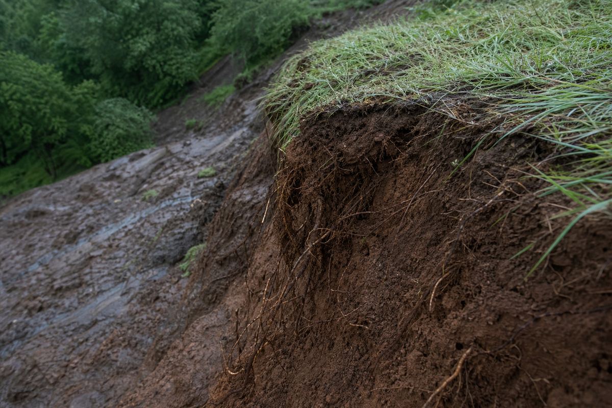
The head of a slide Torn turf and roots at the top edge, where the ground broke away. AI-generated still.
4,862
fatal landslides, 2004–2016, earthquakes excluded
55,997
deaths
Froude & Petley, 2018
~75%
of fatal landslides were in Asia, 2004–2016
Where they happenCrowded hillsides Homes, roads and slopes share the same steep ground. AI-generated still.
Prologue
What counts as a landslide
The USGS defines a landslide as the downslope movement of rock, soil or artificial fill; the material may fall, topple, slide, spread or flow. Froude and Petley (2018) compiled 4,862 distinct fatal non-seismic landslide events from January 2004 to December 2016, which killed 55,997 people. Asia had about 75% of them, and the authors found landslides triggered by human activity, mainly construction, illegal mining and hill cutting, were increasing.
Picture a block of soil on a hillside. Gravity pulls it straight down, but on a slope that pull splits in two.
One part presses the block into the hill. The other drags it downhill. The steeper the slope, the bigger the downhill part.
Tilt the slope yourself, and watch the two arrows trade places.
downhill=Wsinθinto the slope=Wcosθ
W
the block’s weight
θ
slope angle
Splitting the weight W on a slope of angle θSteep ground On the steepest stretch of the hillside the soil has already given way. AI-generated still.
10°
17%
20°
34%
35°
57%
50°
77%
Share of the weight pulling downhill
Chapter I · Gravity against grip
Two parts of one pull
On a plane tilted at angle θ, the weight W of a block resolves into W sin θ along the slope, which drives it downhill, and W cos θ at right angles to the slope, which presses it in. At 10° about 17% of the weight pulls downhill; at 50° about 77%. The figures are sin θ.
The 3D scenes are simplified teaching models, not to scale.
Holding the block back are two kinds of grip. Friction grows the harder the block is pressed into the slope. Cohesion is the glue between grains, from clay, roots or natural cement.
Engineers compare grip and pull in one number, the factor of safety: the grip resisting movement, divided by the pull driving it.
Above one, the slope stands. At one, it is on the edge. Below one, it must move.
Dry sand has no glue at all. Its grip comes only from grains locking together, and that sets a limit on how steep it can stand, called its friction angle. So a pile of dry sand settles at about the same steepness each time.
FS=stress drivingstrength resisting
FS>1
stable
FS<1
failing
Factor of safety
> 1
stands
= 1
on the edge
< 1
moves
The thresholdDry sand Grains trickle down the cone’s sides until the slope stops steepening. AI-generated still.
Chapter I · Gravity against grip
The factor of safety
The factor of safety is the ratio of the strength available to resist failure to the stress driving it. F > 1 is stable, F = 1 is the threshold and F < 1 means the slope should be failing. Strength has two parts in the usual Mohr–Coulomb description: cohesion, the strength present with no normal stress, and friction, which adds strength in proportion to the effective normal stress through tan φ, where φ is the friction angle. For a long uniform slope with no cohesion and no water, the same equations give F = tan φ / tan θ, so the slope is on the edge when its angle equals φ; the steepness at which a pile of dry sand comes to rest is close to this, varying with the size and shape of the grains.
The 3D scenes are simplified teaching models, not to scale.
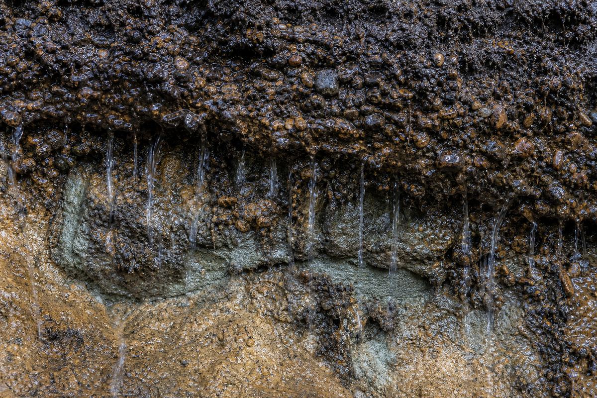
Now add water. Rain soaks in and fills the spaces between the grains, and that water pushes outward on them.
This pore pressure props the grains apart, so they press on each other less. Engineers call what is left the effective stress, and friction depends on it. The slope weighs the same, but its grip has weakened.
The US Geological Survey calls saturation a primary cause of landslides. Press rain, and watch the factor of safety sink.
Saturated ground Water seeps from between grains and pebbles in a dark, wet soil face. AI-generated still.σ′=σ−u
σ
stress pressing grains together
u
pore water pressure
σ′
what friction actually feels
Effective stress
1.31
factor of safety, dry
0.71
factor of safety, soaked
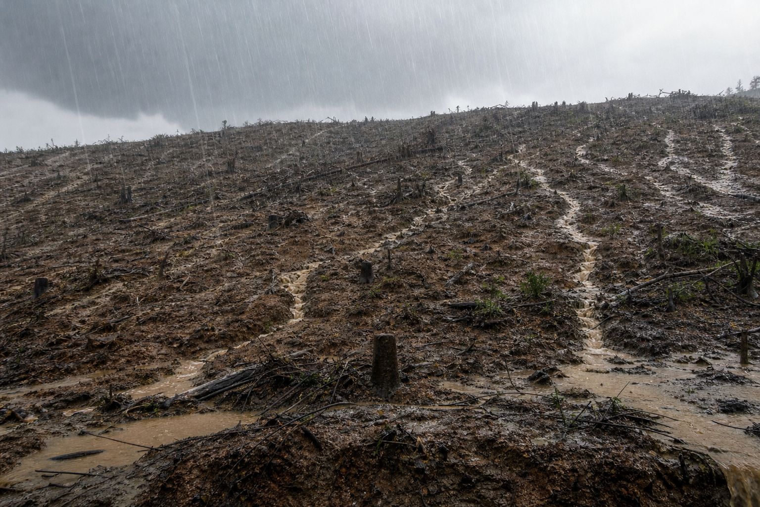
This model slope at 32°Bare slopes in a storm Rills of runoff cut across a stripped hillside. AI-generated still.
Chapter I · Gravity against grip
Why water is the commonest trigger
Effective normal stress is the normal stress minus the pore water pressure. When the ground is saturated, pore pressure becomes positive and reduces the effective stress, so the frictional part of the strength falls. Water does not change the cohesion or the friction angle themselves; it acts through the pore pressure. The USGS lists saturation by water as a primary cause of landslides, from intense rain, snowmelt and changes in groundwater or in water levels along coasts, dams and riverbanks.
The 3D scenes are simplified teaching models, not to scale.
When a slope fails, how it moves depends on what it is made of, how wet it is and how steep. Geologists sort landslides by the motion.
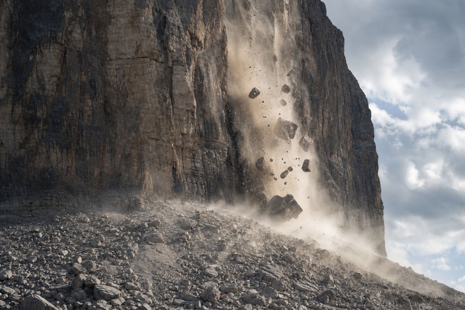
In a fall, rock breaks from a cliff and drops through the air, bouncing and rolling. In a topple, a column tips forward over a pivot near its base.
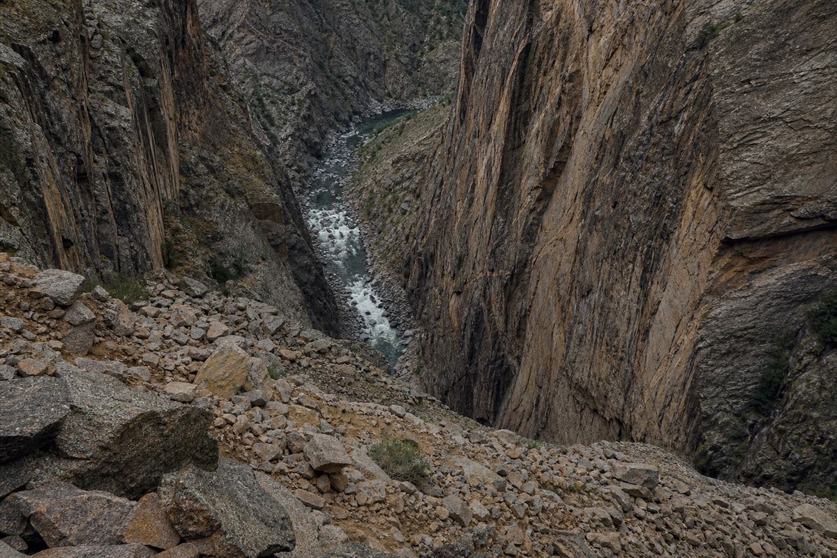
Over the years the fallen blocks pile up as a fan of rubble at the foot of the cliff.
Falls and topples
Slides, rotational or translational
Flows: debris, mud, earth
Creep and lateral spreads
The USGS sorts them by motionRockfall Blocks break from a limestone face in a haze of dust. AI-generated still.Rubble below A jumble of broken rock fills a gorge floor. AI-generated still.
Chapter II · Five ways to fall
Falls and topples
In the USGS classification, falls are abrupt movements of rock or boulders that detach from steep slopes or cliffs and move by free fall, bouncing and rolling. Topples are the forward rotation of a unit about a pivot point below or low in the unit.
The 3D scenes are simplified teaching models, not to scale.
In a slide, a mass moves along a surface of weakness beneath it.
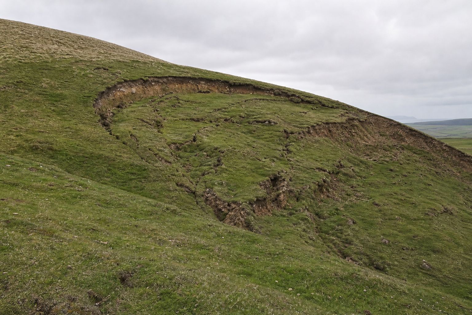
If that surface is curved like the bowl of a spoon, the block rotates as it sinks, and leaves a crescent-shaped scarp at the top. That is a rotational slide, or slump.
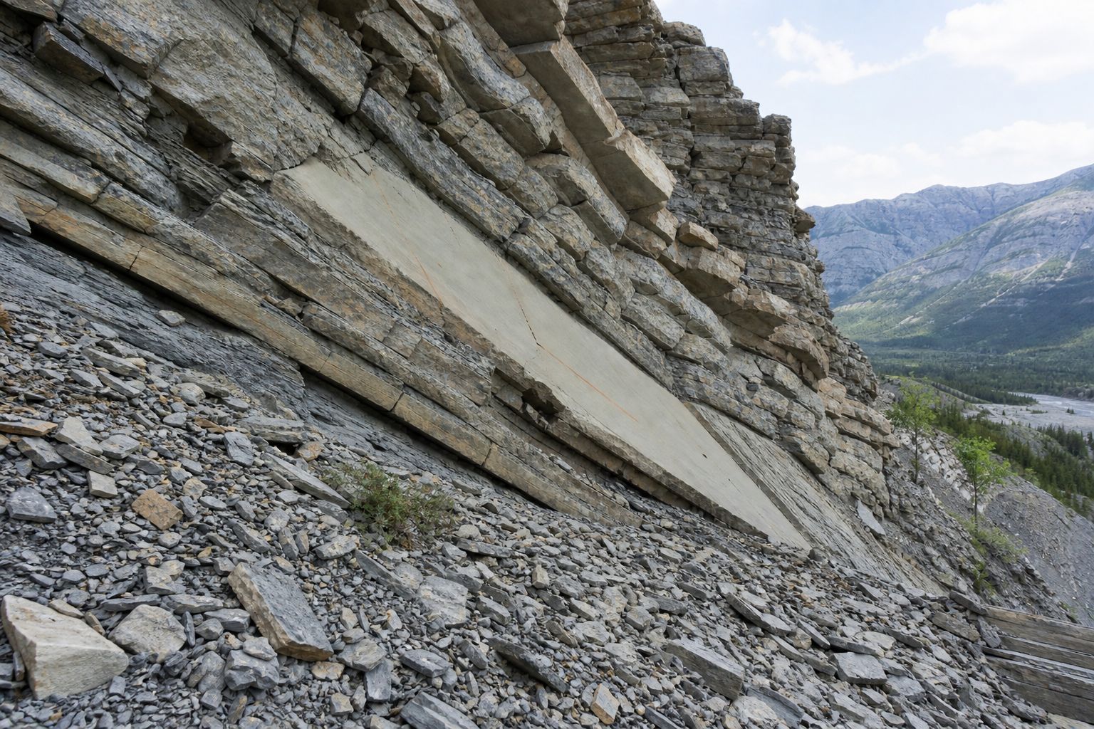
If the surface is a flat layer, such as a bed of clay between rocks, the mass glides along it with little turning. That is a translational slide.
Slump The block tilts back as it drops, so its top ends up sloping into the hill. AI-generated still.
A curved headscarp
Cracks across the slope
Bulging ground at the toe
Signs of a slideBedding planes Layers dip toward the valley, the kind of surface a slab can glide on. AI-generated still.
Chapter II · Five ways to fall
Rotational and translational slides
A slide has a distinct zone of weakness that separates the moving material from the more stable material below. In a rotational slide the surface of rupture is curved concavely upward and the movement is roughly rotational about an axis parallel to the slope. In a translational slide the mass moves out or down along a roughly planar surface with little rotation; a block slide is a translational slide of one or a few coherent units.
The 3D scenes are simplified teaching models, not to scale.
Add enough water, and the moving mass stops behaving like a solid and starts to flow.
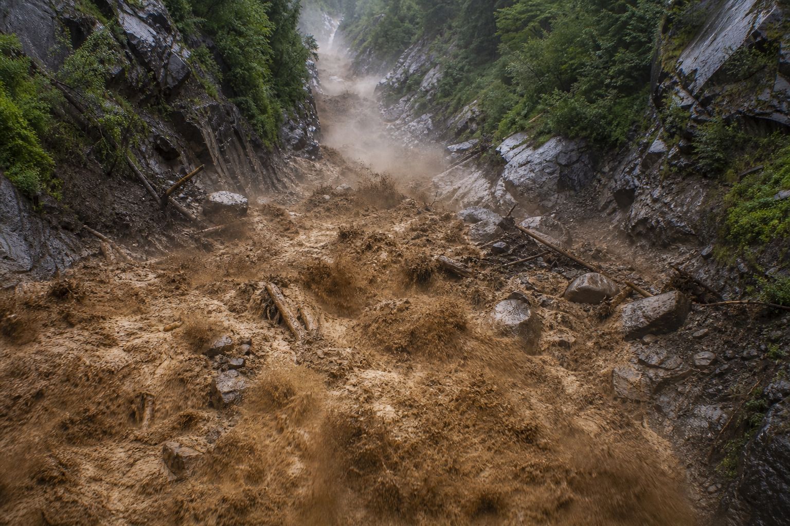
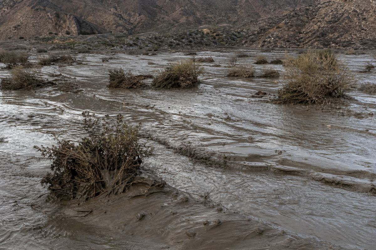
A debris flow is a fast slurry of soil, rock, water and air that pours down channels. With more fine silt and clay, it is a mudflow, what the news often calls a mudslide.
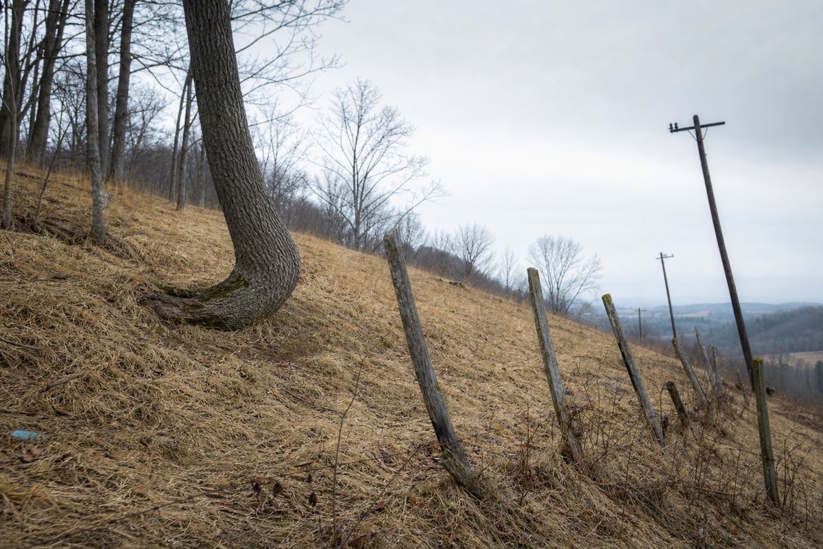
At the other extreme is creep: soil moving too slowly to see, except in fence posts and tree trunks bent downhill over the years.
Debris flow Boulders and broken trees ride a brown surge down a gully. AI-generated still.Mudflow deposit Flow ridges in glossy mud that has spread across a valley floor. AI-generated still.Creep Posts lean downhill and trunks curve at their base. AI-generated still.
< 50%
fine grains in a debris flow
≥ 50%
sand, silt and clay in a mudflow
USGS: what is in the slurry
Chapter II · Five ways to fall
Flows, creep and spreads
The USGS describes a debris flow as a rapid mass movement in which loose soil, rock, organic matter, air and water form a slurry; less than half of it is fine material. A debris avalanche is a very rapid to extremely rapid debris flow. A mudflow is an earthflow wet enough to flow rapidly, with at least 50% sand, silt and clay; news reports often call these, and debris flows, mudslides. Creep is imperceptibly slow, steady downslope movement, shown by curved tree trunks and tilted poles or fences. Lateral spreads occur on very gentle slopes or flat ground, usually when saturated loose sediments liquefy, often during earthquakes.
The 3D scenes are simplified teaching models, not to scale.
Water is the commonest trigger. In March 2014, after a February and March with up to twice the usual rain, a hillside of sand and glacial clay above Oso, in Washington State, gave way.
Its debris averaged about sixty-five kilometres an hour, crossed a valley about 800 metres wide and killed 43 people. As it moved, the soaked soil liquefied.
Ground that has been wet for months needs only one last storm.
150–200%
of normal rain in Feb–Mar
~19 million US tons
of sand and glacial till
Oso, Washington, 22 March 2014 (USGS)A wet season Runoff streams over ground that can hold no more water. AI-generated still.A bluff gives way Grey sand and clay spread across a forested valley and pond the river. AI-generated still.
2
stages of failure, in about a minute
500–6,000
years ago, earlier slides of the same kind
What USGS found later
Chapter III · What tips the balance
Oso, 2014
On 22 March 2014 about 19 million tons of sand and glacial till failed above the Steelhead Haven community near Oso, Washington, killing 43 people. February and March rainfall was 150–200% of the long-term average, with the heaviest rain late in the wet season when the ground was nearly saturated. The USGS estimates the debris averaged about 40 mph; it failed in two stages over about a minute, the soil liquefied in the second, and it crossed a valley about half a mile wide. Similar slides happened there 500 to 6,000 years ago.
The 3D scenes are simplified teaching models, not to scale.
Earthquakes shake slopes loose. In Nepal's 2015 earthquake, landslides buried the village of Langtang, in the same valley as Langtang Lirung, and killed more than three hundred and fifty people.
Volcanoes can bring down whole mountainsides. On 18 May 1980, the north side of Mount St. Helens collapsed: about two and a half cubic kilometres of rock, the largest landslide recorded in historic time.
It raced more than twenty kilometres down the valley, at well over two hundred kilometres an hour.
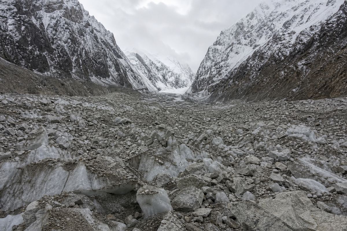
A buried valley floor A fan of boulders and ice fills the floor between steep snowy walls. AI-generated still.
350+
killed by earthquake-triggered landslides
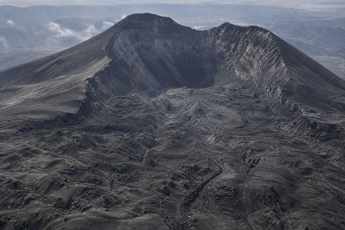
Langtang village, 2015A volcano’s missing side A horseshoe-shaped crater opens toward a hummocky field of debris. AI-generated still.
Mount St. Helens, 1980
~2.5
Langtang Lirung, 2026
0.2–0.5
Vajont, 1963
~0.26
How much rock came down
~2.5 km³
of rock
~24 km
down the North Fork Toutle
>240 km/h
top speed
Mount St. Helens, 18 May 1980 (USGS)
Chapter III · What tips the balance
Earthquakes and volcanoes
Shaking can trigger slides directly and also loosens soil so that water infiltrates faster; the USGS notes that earthquakes in steep landslide-prone areas greatly increase the likelihood of landslides. In 2015, earthquake-triggered landsliding at Langtang killed more than 350 people. At Mount St. Helens on 18 May 1980, the USGS describes the rockslide-debris avalanche, about 2.5 km³ by one estimate, as the largest landslide-debris avalanche recorded in historic time; it travelled about 24 km down the North Fork Toutle River at more than 150 mph (about 240 km/h).
The 3D scenes are simplified teaching models, not to scale.
People tip the balance too: by cutting into the foot of a slope for a road, loading its top with buildings, or clearing the trees whose roots bind the soil.
In November 1988, floods and landslides struck villages in Nakhon Si Thammarat, in southern Thailand. After those floods, Thailand banned logging.
Worldwide, landslides set off by construction, mining and hill cutting are becoming more common.
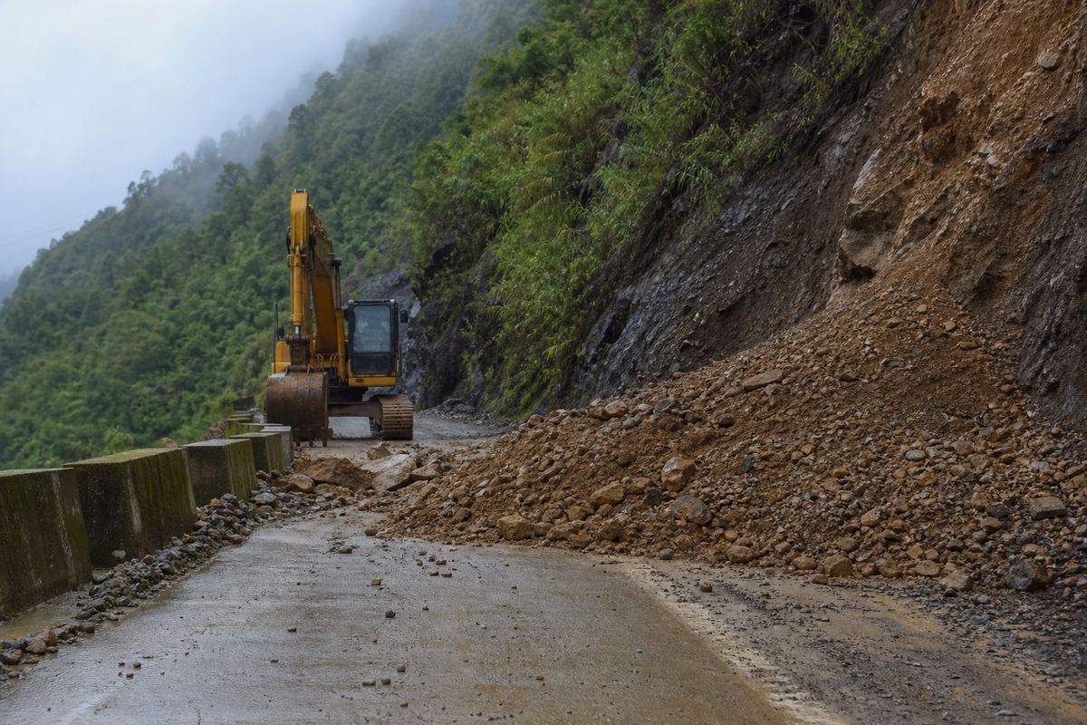
A road cut Soil and stones spill onto a mountain road below a steep cut. AI-generated still.
22 Nov 1988 Kathun, Phipun district, Nakhon Si Thammarat
after 1988 logging banned after the floods
11 Aug 2001 Nam Ko, Lom Sak, Phetchabun: 136 dead
Two Thai disasters
Excavating the toe of a slope
Loading the crest
Clearing forest
Leaking pipes, irrigation, mining
How people load the dice
Chapter III · What tips the balance
Human triggers
The USGS lists human causes including excavation of a slope or its toe, loading of the slope or its crest, drawdown of reservoirs, deforestation, irrigation, mining, artificial vibration and leaking water services. Froude and Petley (2018) found landslides triggered by construction, illegal mining and hill cutting increasing worldwide. In Thailand, landslides struck Ban Kathun, Phipun district, Nakhon Si Thammarat, on 22 November 1988; after the massive 1988 flooding the government banned logging. On 11 August 2001 a landslide at Nam Ko, Lom Sak, Phetchabun, killed 136.
The 3D scenes are simplified teaching models, not to scale.
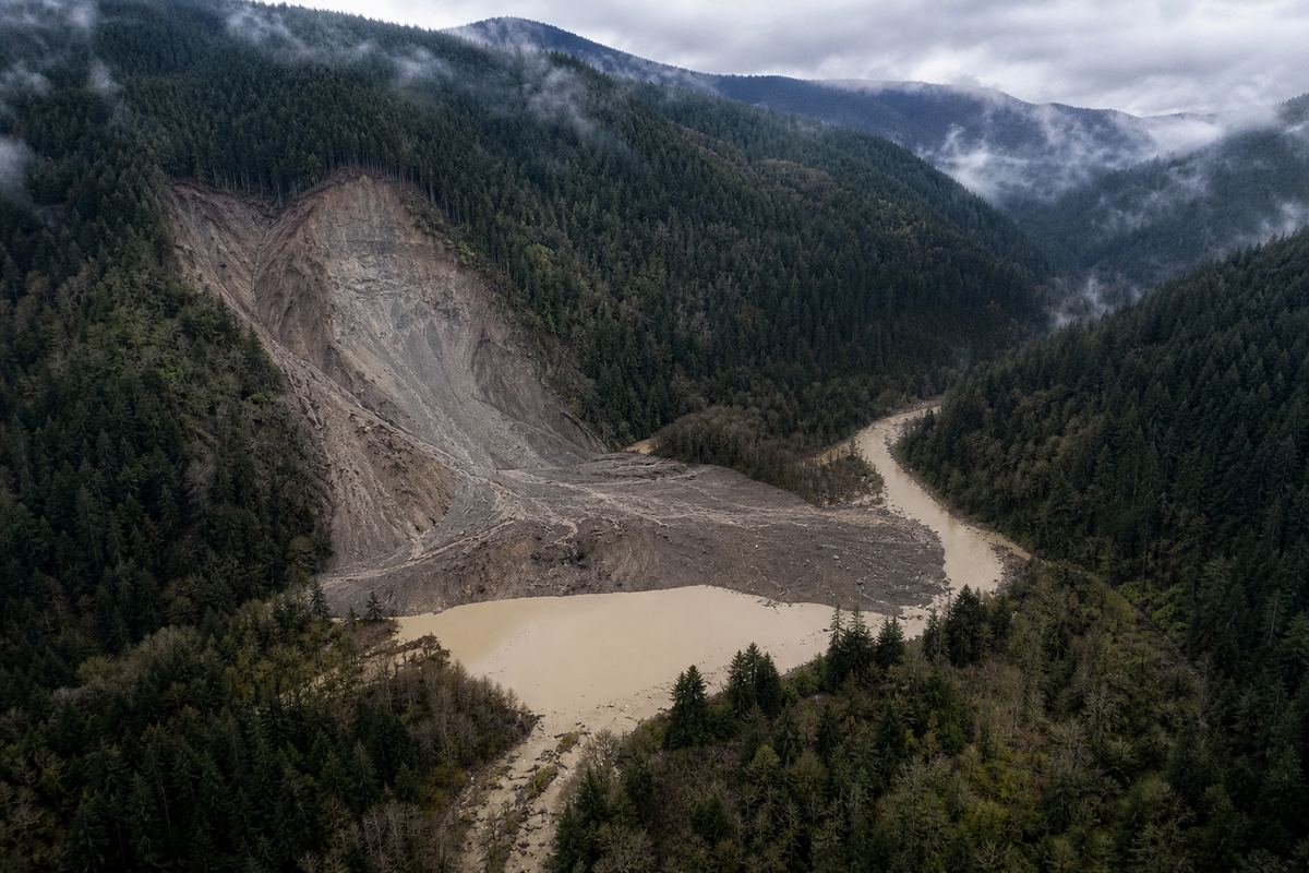
When a landslide falls into a narrow valley, it can block the river with a dam of loose rubble.
Water piles up behind it. A dam that was never compacted often leaks or overflows, and it can fail all at once.
That is what happened on the Budhi Gandaki on 11 October 2026. A landslide dammed the river at around four in the morning. Around six the dam broke, and a debris flood swept downstream.
Warnings reached people downstream, but about five people are thought to have died. Press breach to watch the lake empty.
A blocked gorge Muddy water backs up behind a ridge of fresh debris. AI-generated still.
~7.6 m
deep where the river was blocked (25 ft)
~4 km
long lake (2.5 miles)
Oso, 2014: a lake behind the debris (USGS)
~04:22 seismic signal of the landslide
~06:00 the landslide dam breaches
after houses, bridges and a hydropower camp damaged
Budhi Gandaki, 11 October 2026 (Petley)
Houses and roads
Bridges
A hydropower project camp
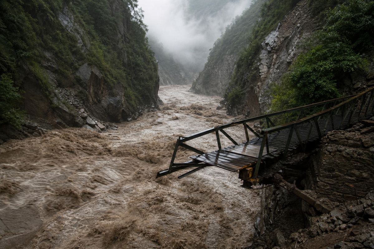
Damaged downstream (Petley)Downstream A brown, debris-laden surge tears past a broken footbridge. AI-generated still.
Chapter IV · A river blocked
Landslide dams
The USGS notes that landslides can dam rivers, causing backwater flooding upstream and flooding downstream when the dam fails. On the Budhi Gandaki in Gorkha district, Nepal, Dave Petley reports a landslide recorded seismically at about 04:22 local time on 11 October 2026, possibly a rock avalanche near Chumchet (the timing preliminary), followed by a breach of the landslide dam at about 6 am. Houses, roads, bridges and a camp for the Budhi Gandaki hydropower project were damaged; warnings reportedly reached people, and he wrote that five people had probably been killed. At Oso in 2014 the debris dammed the North Fork Stillaguamish River up to 25 feet deep, creating a lake about 2.5 miles long that drained by mid-May.
The 3D scenes are simplified teaching models, not to scale.
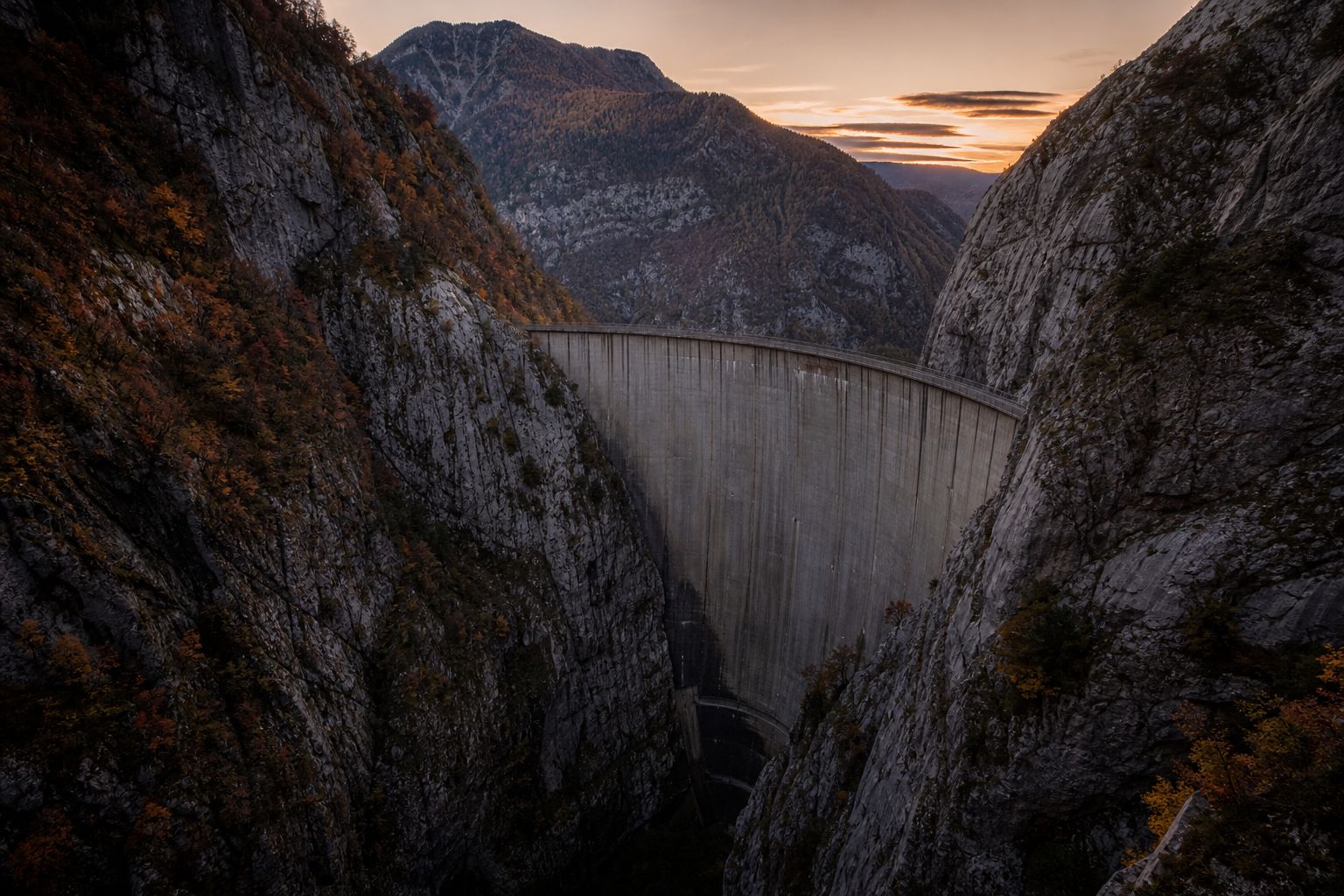
A landslide into a lake can be just as deadly. On the night of 9 October 1963, about two hundred and sixty million cubic metres of rock slid into the reservoir behind the Vajont Dam in Italy, 262 metres tall.
It pushed out a wave that rose far above the dam and poured over its crest into the valley below.
The wave destroyed the town of Longarone and other villages. According to Italy's Civil Protection Department, 1,917 people died. The dam itself was left standing.
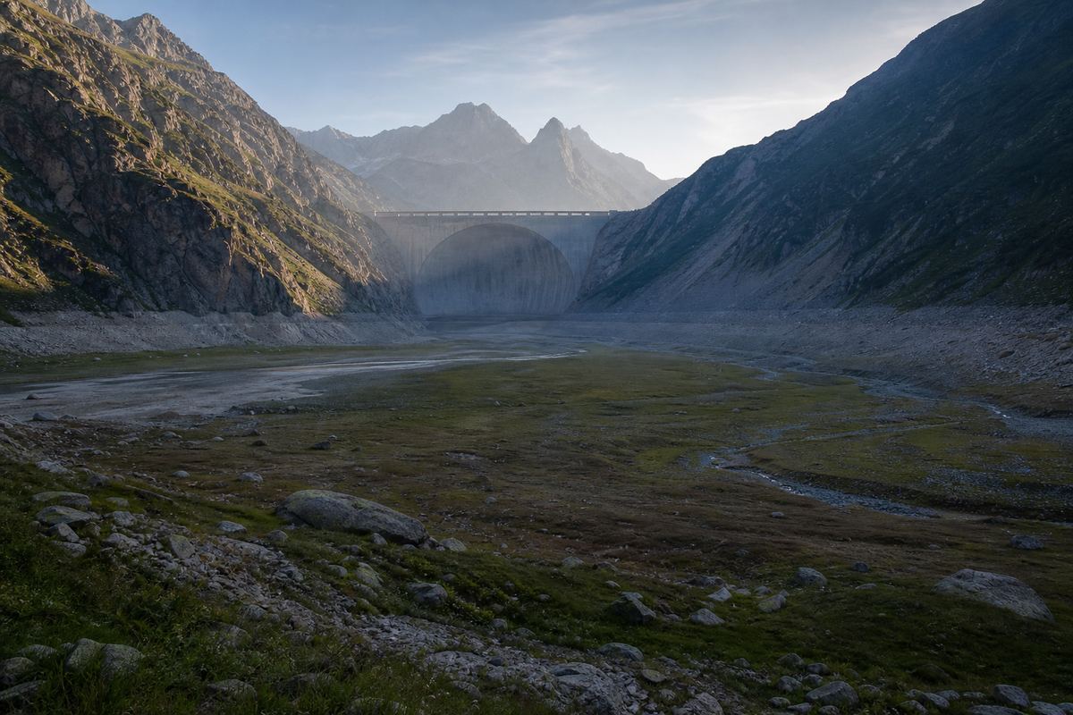
A thin arch dam A tall concrete arch wedged in a narrow limestone gorge. AI-generated still.A gorge filled Broken rock chokes a narrow gorge between bare walls. AI-generated still.
~260 million m³
of rock (Britannica)
150–200 m
the wave rose above the dam (Britannica)
Vajont, 9 October 1963Below the dam A wide scoured floor of gravel and new grass in the valley beneath the arch. AI-generated still.
1,917
dead
400
of them never found
Italian Civil Protection Department
Chapter IV · A river blocked
Vajont, 1963
Britannica gives the Vaiont (Vajont) Dam a height of 262 m and describes about 260 million m³ of rock sliding into its reservoir on 9 October 1963, sending a wave 150–200 m above the dam that spilled over the crest and flooded the valley; it gives about 2,000 dead. Italy’s Civil Protection Department gives 1,917 victims, 400 of whom were never found, and names Erto, Casso and Longarone among the places hit.
The 3D scenes are simplified teaching models, not to scale.
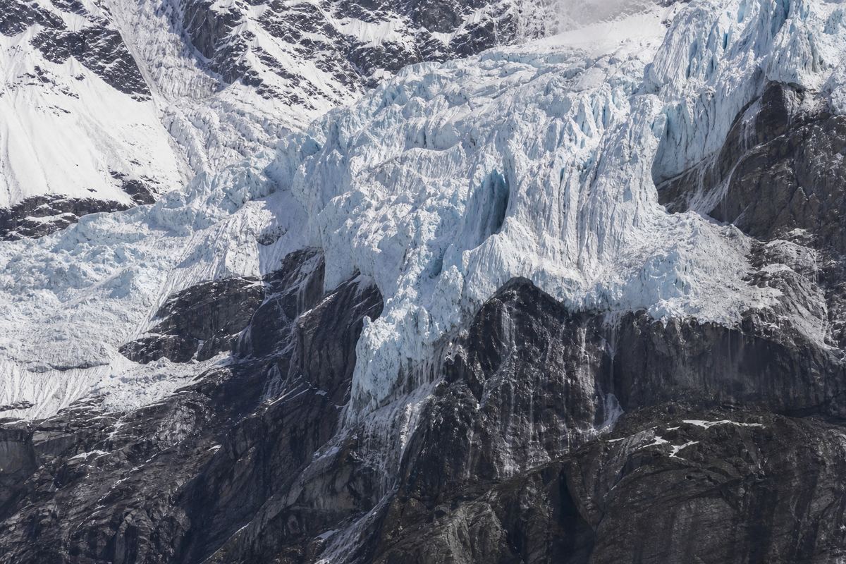
Now back to Langtang Lirung. High in the Himalaya, ice and frozen ground work like cement in cracked rock.
By one geologist's estimate, a slab of ice and rock covering about a fifth of a square kilometre dropped around one point two kilometres. Early analyses put the flow that followed at around fifty metres a second, running up to a hundred kilometres downstream.
The US Geological Survey found that the shaking recorded that morning came from the collapse itself, not from an earthquake.
World Weather Attribution scientists found that warming had raised the freezing level, thawing ice and frozen ground after record summer heat. Damage from the 2015 earthquake may have played a part too. They called it a compound crisis.
A hanging glacier Ice cliffs cling to a steep face; dark wet rock shows where ice has melted back. AI-generated still.
~0.2 km²
of ice and rock (Daniel Shugar)
~1.2 km
vertical drop
~52 m/s
flow speed, early analyses
Estimates reported for 26 August 2026The collapse A cloud of ice and rock dust pours down a giant peak. AI-generated still.
“There is no doubt that climate change is one of the drivers.”quoted by Al Jazeera, 17 September 2026
Friederike Otto, Imperial College London
Long-term warming and thaw
Record heat and extra meltwater
Rock already weakened, perhaps by the 2015 quake
Three ingredients, per WWA
Chapter V · Ice that held the rock
A compound crisis
The collapse began as a rock-ice avalanche from the Lirung massif at 5,200–5,400 m and became a fast, long-runout debris flow; geologist Daniel Shugar estimated about 0.2 km² of ice and rock fell roughly 1.2 km vertically; other analyses cited by Wikipedia put the debris at about 52 m/s, travelling up to 100 km. The USGS found the seismic signal was generated by the collapse, not by a preceding earthquake. A World Weather Attribution report (17 September 2026) called it a compound crisis: long-term warming raised the freezing level, thawing ice and permafrost; record July–August heat about 5 °C above normal and heavy snow in late 2025 added meltwater; the 2015 magnitude 7.8 earthquake may have weakened the slope, though its role is uncertain. The region’s flood early-warning system was configured for monsoon and perennial floods and did not detect the event in time.
Estimates of volume and speed come from early analyses and may be revised.
The 3D scenes are simplified teaching models, not to scale.
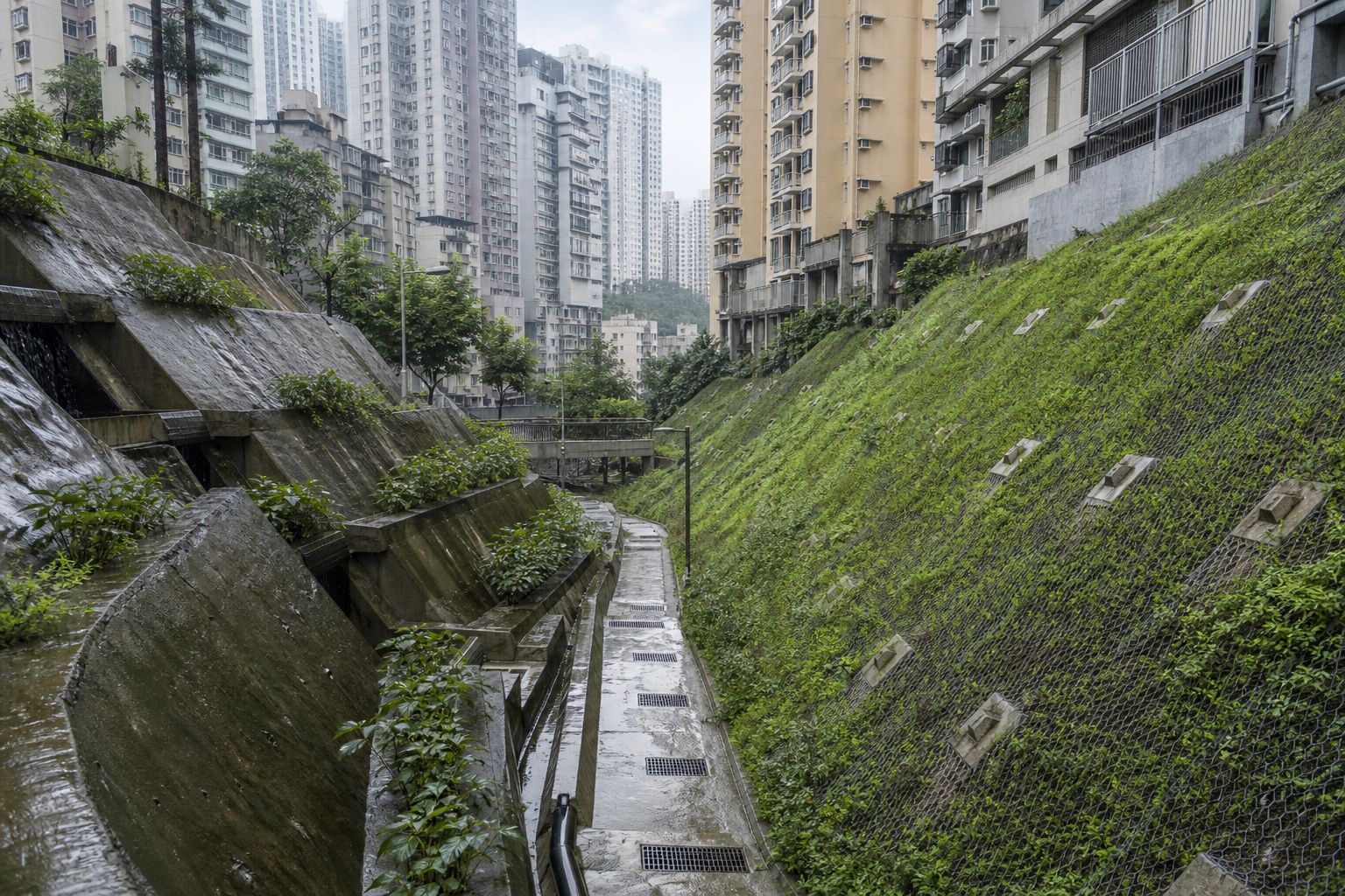
Landslides cannot be stopped everywhere, but the risk can be cut. After deadly landslides in the 1970s, Hong Kong set up its Geotechnical Engineering Office in 1977, to control how hillsides are built on, checked and kept up.
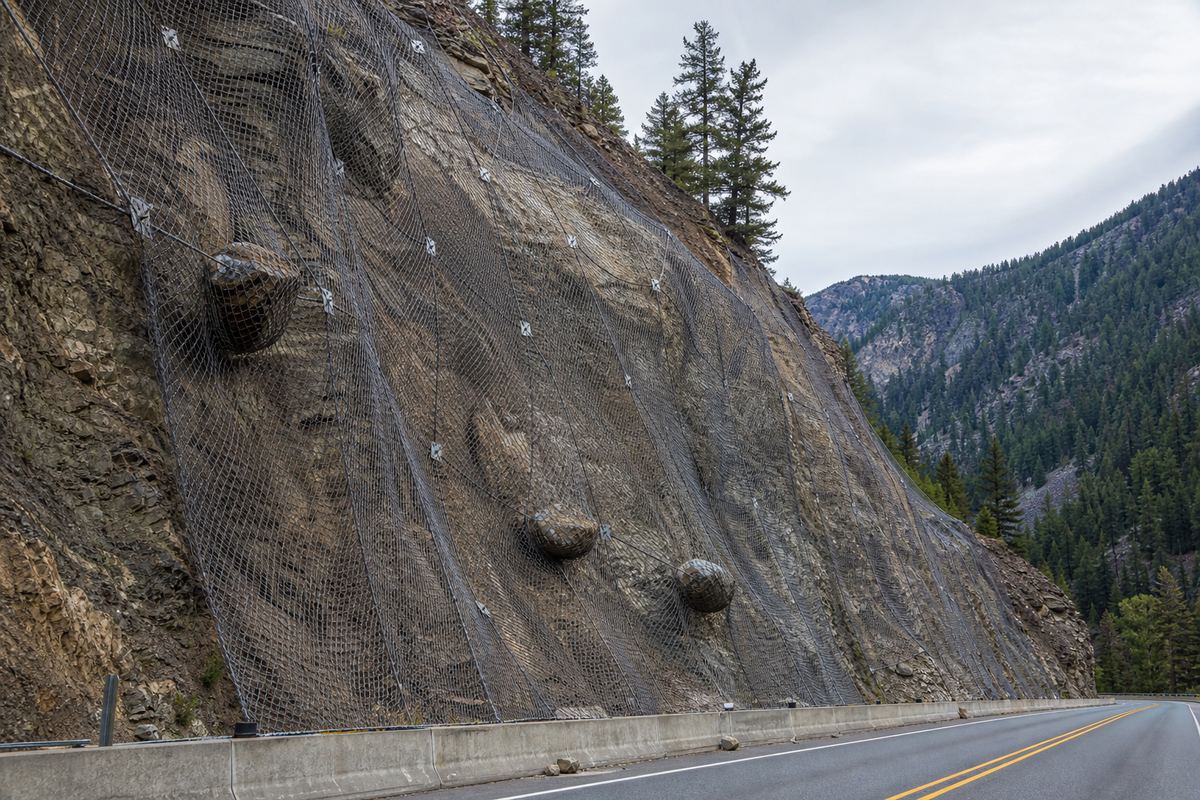
Engineers drain slopes so water cannot build up, pin rock with anchors and nets, and plant vegetation to bind the soil. Press drain, and see the water table fall.
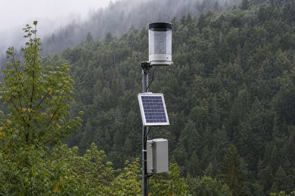
Warnings are built on rain. Scientists match past storms with the landslides they set off, and draw a threshold: when this much rain falls in this many hours, slopes start to fail.
The Langtang collapse showed the gap. The region's flood warning system was set up for monsoon and other floods, and it did not catch this collapse in time.
Engineered hillsides Concrete-faced terraces, drains and planted slopes between tall apartment blocks. AI-generated still.
Contain the risk from new building
Reduce the risk to what is already built
Lessen the harm when slides happen
Hong Kong’s three strategiesRock netting Anchored mesh drapes a rock cut; a catch fence holds a few boulders. AI-generated still.A=0.4D0.5
A
rain so far in the storm
D
hours it has rained
One USGS threshold, burned slopes in California The lowest of three curves; heavier rain brings bigger debris flows.Counting the rain An automatic rain gauge with a small solar panel on a forested slope. AI-generated still.
Chapter VI · Watching the slopes
Living with landslides
Hong Kong’s Geotechnical Engineering Office was formed in 1977, after the Sau Mau Ping landslide of 1976, on the advice of an independent panel of international experts, to regulate hillside development and the design, construction and maintenance of slopes. Its strategy contains the risk from new development, reduces the risk to existing development and minimises the consequences of landslides, including by issuing landslip warnings. The USGS derives rainfall intensity–duration thresholds such as A = 0.4D^0.5 (accumulation A against duration D) from past storms and debris-flow responses on recently burned slopes in the San Gabriel Mountains, and uses them in an emergency-response decision chart.
The 3D scenes are simplified teaching models, not to scale.
Every disaster in this film began the same way: on one slope, on one day, the pull downhill grew bigger than the grip.
Many slopes warn before they go: new cracks or bulges in the ground, tilting trees and poles, water ponding where it never did, a stream that suddenly rises or falls. If you see them, tell the local authorities, and leave if it is safe.
Mountains will keep letting go. The science is about seeing it coming.
1963 Vajont, Italy
1977 Hong Kong’s Geotechnical Engineering Office
1980 Mount St. Helens, USA
1988 Nakhon Si Thammarat, Thailand
2014 Oso, USA
2015 Langtang village, Nepal
2026 Langtang Lirung and the Budhi Gandaki, Nepal
Landslides in this filmWarning signs (USGS) Leaning poles and fence posts on a slope that is slowly moving. AI-generated still.
Cracking, knocking or groaning sounds
A rumble like a passing freight train
A stream that suddenly rises or falls in a storm
USGS: signs a slide is moving
How fast is mountain permafrost thawing?
Can satellites spot slopes speeding up in time?
How to warn for rare, fast events?
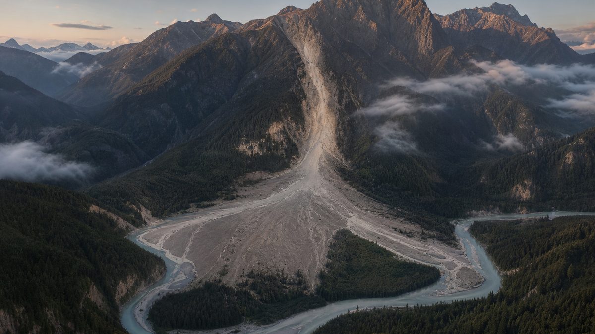
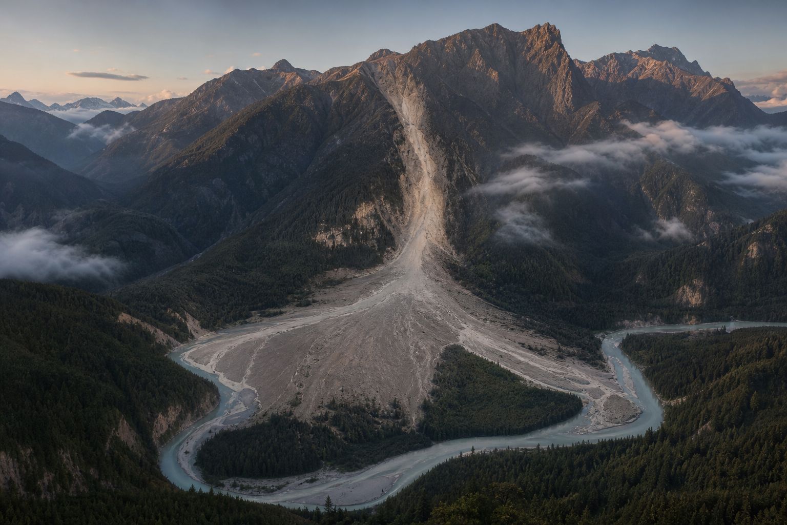
Open questionsThe mountains will move again A pale scar and a fan of debris reach a winding river at dawn. AI-generated still.
Epilogue · Sources
Sources
Every fact in this film comes from the sources below. The chapter stills and pictures are AI-generated artist’s impressions; they show no real places, people or events. The slope, the landforms, the dam and the valleys in 3D are simplified teaching models, not to scale. Casualty figures for 2026 are attributed with their date and may be revised. Warning signs are from the USGS and are general; follow local authorities’ advice.