Earth · Physics
How European windstorms work
Where cold air meets warm, and the sky pulls the air away.
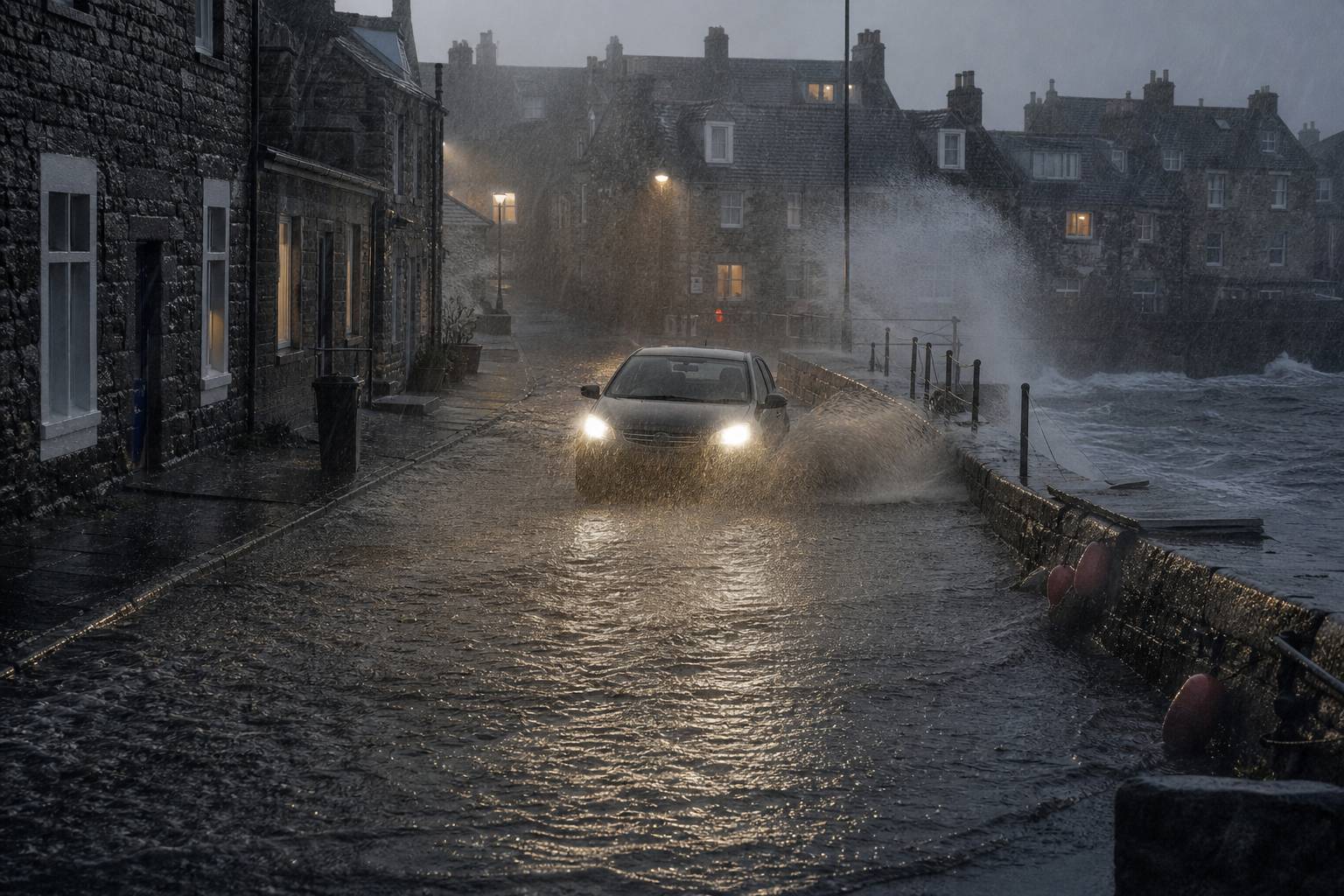
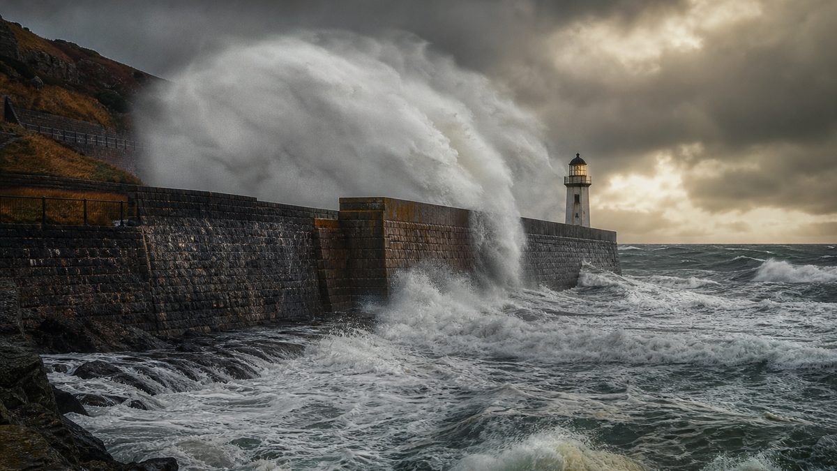
Gusts of a hundred and thirty-five kilometres an hour in western Scotland. More than a hundred and fifty thousand homes without power. Hundreds of flights cancelled.
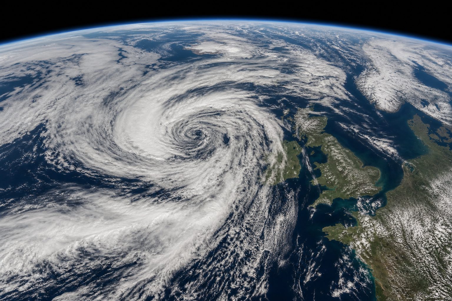
Between the twenty-third and twenty-fifth of October 2026, two named storms, Austen and Boelo, crossed northern Europe one after the other.
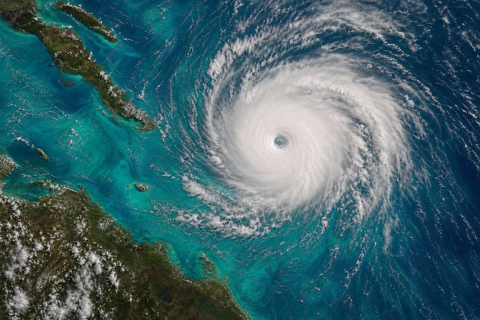
These storms are not hurricanes. So what builds them?
| Britain | ~82,000 |
|---|---|
| France | ~60,000 |
| Germany | 10,000+ |
- Austen
- named 20 Oct; southern England, Fri 23 Oct
- Boelo
- named 22 Oct; Scotland and N. Ireland, Sun 25 Oct
- Cold air, warm air and the jet stream
- How a low spins up
- Fronts, weather bombs and sting jets
- Why storms get names
Austen and Boelo
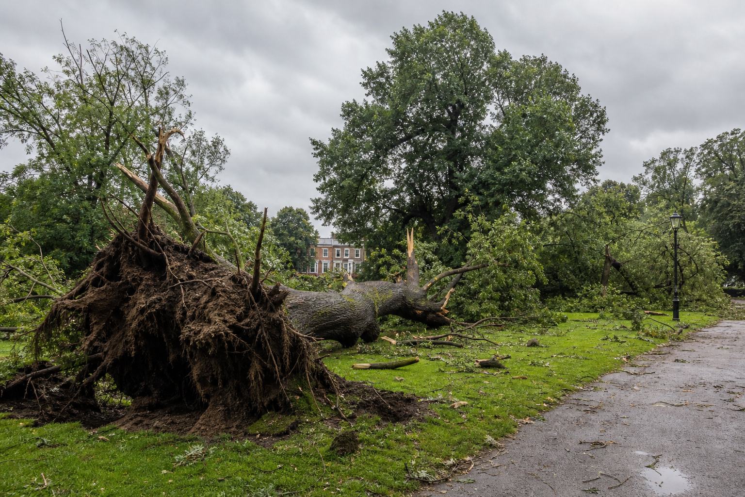
Euronews: Storm Austen struck southern England on Friday 23 October 2026 and moved across northern continental Europe; Storm Boelo brought disruption to Scotland, Northern Ireland and northern England on Sunday 25 October. Gusts reached 135 km/h in Argyll and Bute. More than 150,000 homes temporarily lost power: about 82,000 in Britain, nearly 60,000 in France and at least 10,000 in Germany. Hundreds of flights were cancelled or diverted, ferries were cancelled from Scotland to Denmark, and four people were hurt by falling trees in Brussels. Met Office: Austen was named on 20 October and Boelo on 22 October. ITV: two storms so close together are usually expected between November and March.
The map is a teaching model: coastlines come from Natural Earth, but the low, its isobars, fronts, jet stream and the moving air are drawn from a simplified model, not from a forecast.
Sources: Euronews (25 Oct 2026): storms batter northern Europe, cutting power to more than 150,000 homes; Met Office: UK Storm Centre; ITV News (20 Oct 2026): forecasters warn two storms could hit the UK in 48 hours