On 17 October 2026 Pakistani forces and the Afghan Taliban exchanged fire along their border, in a year of repeated clashes. This film explains the history of that border, the Durand Line: the Great Game between the British and Russian empires, the Anglo-Afghan wars, the 1893 agreement between Mortimer Durand and Emir Abdur Rahman Khan, the survey along mountain watersheds, the Pashtun and Baloch peoples it divided, Partition in 1947 and the Pashtunistan dispute, border closures, Pakistan's fence, and how each government sees the line today. Draw the line, follow the watershed, close the border and build the fence.
Interactive 3D film10 min1830 to 2026Published 19 October 2026
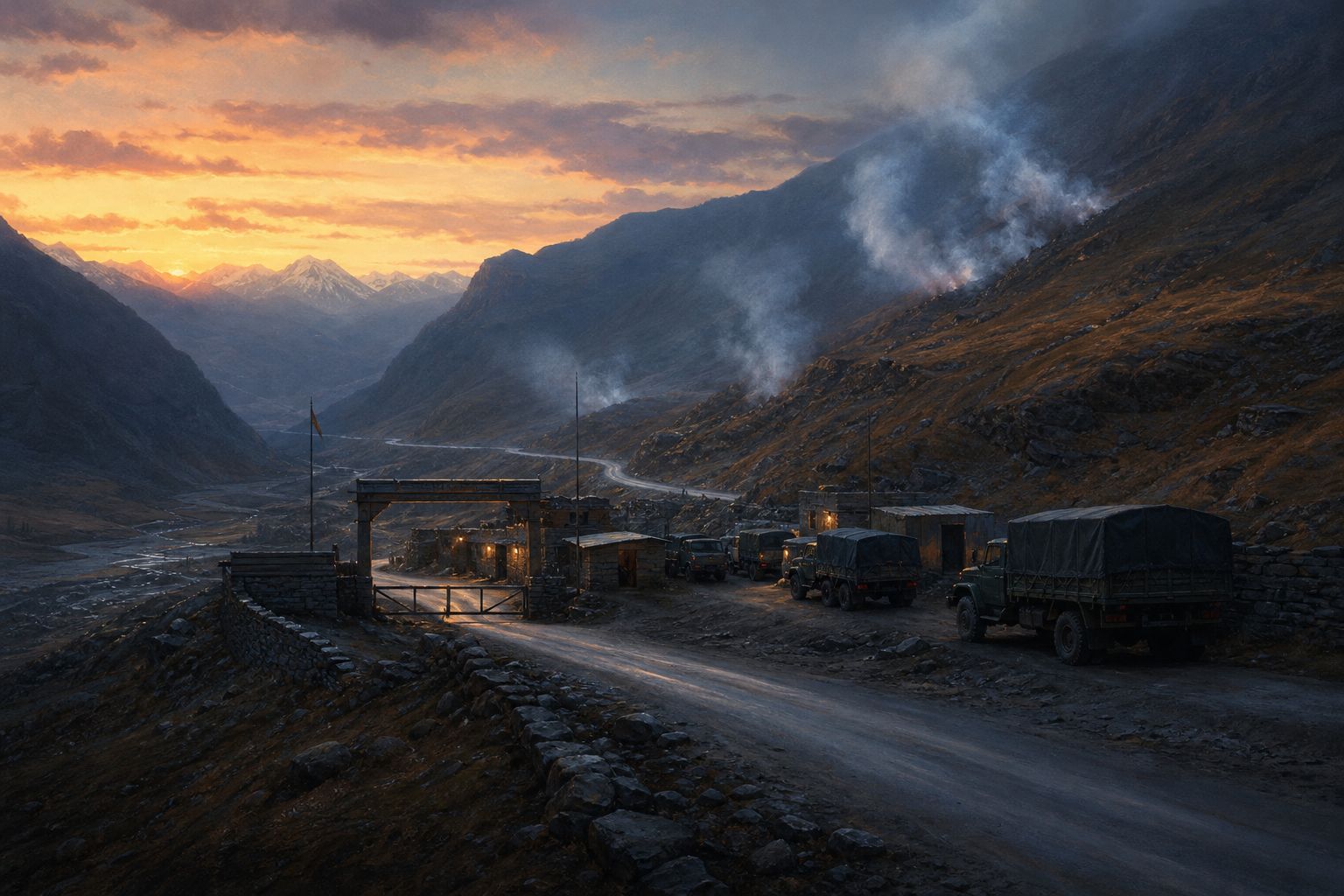
On the seventeenth of October 2026, Pakistani troops and forces of Afghanistan's Taliban government exchanged fire for hours along their shared border, in the Kurram district of north-western Pakistan.
Pakistani officials said fighters of the Pakistani Taliban, a separate group allied with Afghanistan's rulers, had tried to cross from Afghanistan. Kabul gave no immediate comment.
The border they fought along runs for about two thousand six hundred kilometres. It is called the Durand Line. It was drawn by an empire more than a hundred and thirty years ago, and no Afghan government has formally accepted it since 1947.
2,800+
militant attacks since January
3,000
people killed, mostly in the north-west and Balochistan
Inside Pakistan, this year (Pakistani authorities)
1,100+
civilians killed or injured by cross-border violence, UN mission count (Sept 2026)
Inside Afghanistan, this yearThe Durand Line Britannica gives its length as about 1,600 miles; other sources range from 2,450 to 2,640 km. AI-generated still.
Prologue · The news
Clashes on the border
AP, 17 October 2026: according to three Pakistani security officials, fighting lasted for hours in Kurram district, Khyber Pakhtunkhwa; Pakistani state media said troops destroyed Taliban posts and killed an unspecified number of Pakistani Taliban militants trying to cross. There was no immediate comment from the Taliban government. The UN Assistance Mission in Afghanistan (UNAMA) said in September it had documented more than 1,100 civilian casualties from cross-border violence in Afghanistan this year.
This film tells the history of the line. Figures about the current fighting come from each side or from the UN and are attributed. How to use: pick a chapter or press ← →; drag to rotate.
The map is schematic: the line is drawn through approximate points, and the terrain is illustrative.
To understand the line, go back to the nineteenth century. The Russian Empire was pushing south across Central Asia. The British ruled India and wanted to keep Russia far from it.
Their rivalry for influence, fought with spies, diplomats and sometimes armies, but never as a direct war between the two, became known as the Great Game.
Afghanistan sat in the gap between them, a mountain kingdom that each empire wanted on its side, or at least on no one else's.
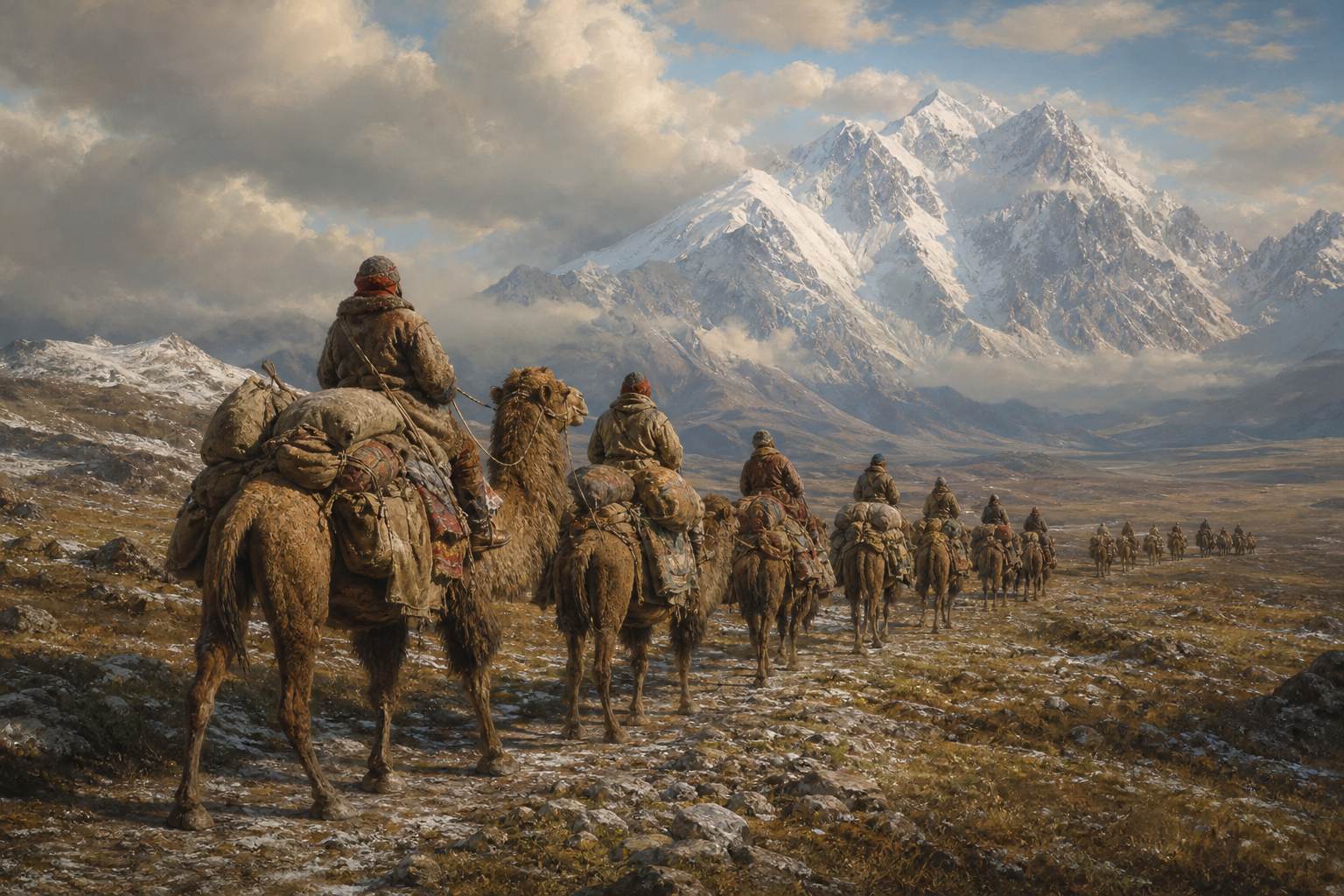
Central Asia Historians often date the Great Game from 1830, when Britain sought a trade route to Bukhara. AI-generated still.
1830 traditional start
1839–42 First Anglo-Afghan War
1878–80 Second Anglo-Afghan War
1895 Pamir agreement, Afghanistan a buffer
1907 Anglo-Russian Convention
The Great Game
Russian Empire: expanding south through Central Asia
British India: guarding its north-west
Afghanistan, Persia, Tibet: where influence was contested
Around the board
Chapter I · The Great Game
The Great Game
A 19th-century rivalry between the British and Russian empires for influence in Central Asia, mainly Afghanistan, Persia and Tibet. It involved military interventions and diplomacy but never a direct full-scale war between the two powers. It is traditionally dated from 1830 and ended with the Anglo-Russian Convention of 1907.
The arrows in the scene are schematic, not historical frontiers.
Britain invaded Afghanistan twice. In the first Anglo-Afghan War, from 1839, it put its own candidate on the throne in Kabul. Afghan revolts forced a British retreat in 1842 that ended in disaster.
In 1878, after a Russian mission reached Kabul, Britain invaded again. The Treaty of Gandamak in 1879 left Afghans to run their own country, but gave Britain control of Afghanistan's foreign affairs: its dealings with every other country.
Afghanistan also gave up several frontier districts in the south, such as Pishin and Sibi, lands that today lie inside Pakistan.
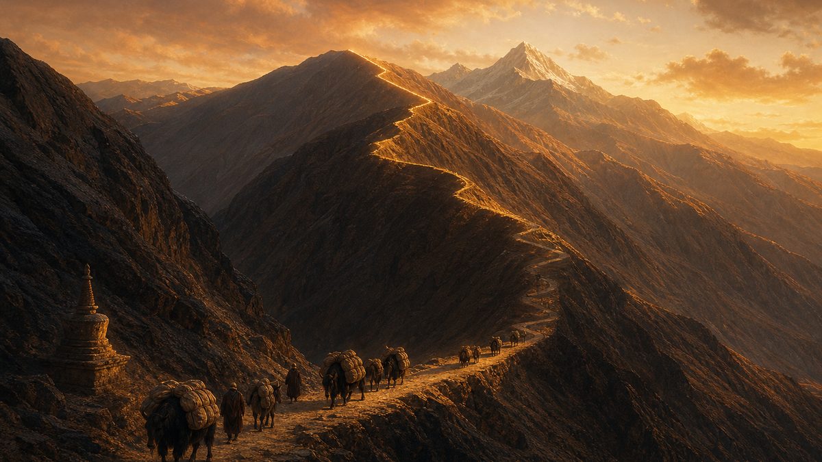
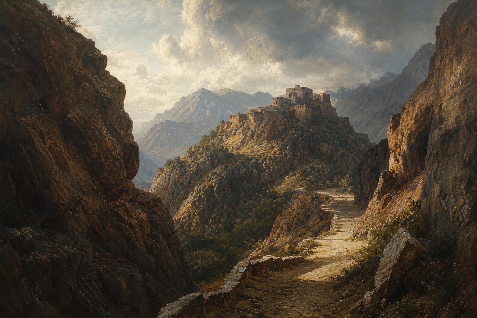
The passes Armies, traders and envoys all moved through a handful of mountain passes between Kabul and the Indus plain. AI-generated still.
First Anglo-Afghan War (1839–1842): Britain invaded to depose Dost Mohammad Khan and install Shah Shuja; Afghan revolts led to the 1842 withdrawal from Kabul, a major British defeat. Second Anglo-Afghan War (1878–1880): after an uninvited Russian mission to Kabul, Britain invaded. The Treaty of Gandamak (1879) gave Britain control of Afghan foreign affairs and ceded Pishin, Sibi, Harnai and Thal Chotiali.
On the twelfth of November 1893, in Kabul, the British diplomat Sir Mortimer Durand and Afghanistan's ruler, Emir Abdur Rahman Khan, signed an agreement.
It fixed where each side's sphere of influence ended: Afghanistan on one side, British India on the other. Whether that made it a full international border is exactly what the two sides would later dispute. It ran from the high mountains in the north-east to the deserts where Afghanistan meets Persia.
Two years later, Britain and Russia also agreed Afghanistan's northern edge, adding a thin strip of land, the Wakhan Corridor, so that the two empires would never touch. The line on the map took Durand's name.
Kabul, 1893 Britannica: Durand persuaded the emir to accept the line as an international boundary. AI-generated still.
sphere of influence: where a power has the say, without formally owning it
international border: the agreed edge of a sovereign state
Two words that matter
1895
Pamir agreement, 10 September
a buffer
between Russian and British territory
The Wakhan Corridor
Chapter II · Drawing the line
The Durand Line Agreement
On 12 November 1893 Sir Henry Mortimer Durand, a British diplomat of the Indian Civil Service, and Emir Abdur Rahman Khan signed an agreement fixing the limit of their respective spheres of influence. Britannica: Durand persuaded the emir to accept it as an international boundary. The Pamir protocols of 10 September 1895 set Afghanistan’s northern border with the Russian Empire and created the Wakhan Corridor.
The line in the scene is drawn through approximate points.
A line on a map is not yet a border on the ground. From 1894 to 1896, joint British and Afghan teams surveyed about thirteen hundred kilometres of it.
Across the high mountains they often followed the watershed, the crest of a ridge where rain divides: water on one side flows one way, water on the other side flows the other.
Some sections took far longer: the Khyber stretch was only settled by a treaty in 1921.
The boundary survey The section from the Kabul River to China was declared demarcated in 1896, along a watershed ridge-line. AI-generated still.
the line runs along the highest crest
rain west of it drains to one valley system
rain east of it drains to another
A watershed boundary
1894–96 joint survey, about 1,300 km
1896 Kabul River to China section declared demarcated
22 Nov 1921 treaty settles the Khyber section
1933–34 small adjustment at Arundu
Fixing the line
Chapter II · Drawing the line
Demarcation
A joint survey from 1894 to 1896 covered about 1,300 km. The section from the Kabul River to China was declared demarcated in 1896 on the basis of a watershed ridge-line. A treaty of 22 November 1921 finalised the Khyber section; a minor adjustment was made at Arundu in 1933–34.
The ridge in the scene is a schematic model of a watershed, not a real mountain.
The mountains were not empty. The line cut across the lands of the Pashtuns, a people united by the Pashto language and the largest group in Afghanistan, and in the south across the Baloch.
Tribes, clans and families found themselves on both sides. For many, the mountain passes were simply the way to markets, pastures and relatives.
That division is the root of the dispute that came later.
Pashtun country Britannica: Pashtuns live mainly between the Hindu Kush in Afghanistan and the northern Indus River in Pakistan. AI-generated still.
Pashtuns: Pashto speakers, north and centre of the line
Baloch: in the south, toward Iran
the 1893 agreement said nothing about asking them
Peoples on both sides
Pashto
a shared language (Britannica)
largest
ethnic group in Afghanistan
What unites Pashtuns
Chapter II · Drawing the line
Peoples divided
The line divides the Pashtun and Baloch peoples. Britannica: the Pashtuns are united by a common language, Pashto, and are the largest ethnic group in Afghanistan; they live primarily between the Hindu Kush and the northern Indus.
The shaded area in the scene is a rough illustration of where Pashtuns live, not a census map. The third point in the list is our summary: the agreement was made between the two governments.
In 1919 a new Afghan ruler, Amanullah Khan, rejected the Gandamak treaty and declared full independence. A short war with British India followed.
The Treaty of Rawalpindi, in August 1919, recognised Afghan independence and Afghanistan's right to its own foreign affairs. It also reaffirmed the Durand Line as the frontier.
Afghan rulers confirmed the frontier again in later treaties, in 1921 and 1930. For the moment, everyone kept to the line.
Feb Amanullah becomes emir, declares independence
3 May Afghan forces enter British India
3 Jun ceasefire
8 Aug Treaty of Rawalpindi
1919
… reaffirmed as the political boundary separating Afghanistan from the North West Frontier.National Army Museum, London, on the Durand Line in the 1919 treaty
1919
Rawalpindi
1921
Anglo-Afghan treaty
1930
later treaty
The frontier reaffirmed
Chapter II · Drawing the line
The Third Anglo-Afghan War
National Army Museum: Amanullah became amir in February 1919, repudiated the Treaty of Gandamak and declared independence; Afghan detachments entered British India on 3 May; he ordered a ceasefire on 3 June. The Treaty of Rawalpindi (8 August 1919) recognised full Afghan independence and the right to conduct its own foreign affairs, and reaffirmed the Durand Line. Afghan rulers reaffirmed the frontier in treaties of 1921 and 1930 (Wikipedia).
In August 1947 British India was partitioned into India and Pakistan. The lands east of the Durand Line became part of Pakistan, and Pakistan inherited the line as its western border.
Some Pashtun leaders had called for an independent Pashtunistan instead. Kabul backed the idea, and that year Afghanistan was the only country to vote against Pakistan joining the United Nations.
In 1949 a grand assembly in Kabul, a loya jirga, declared that it recognised neither the Durand Line nor any similar line, and called the earlier agreements void.
2
new states: India and Pakistan
21 June 1947
Bannu resolution calls for an independent Pashtunistan
August 1947
Afghanistan has never recognized the Durand Line between the two countries as an international border.Barnett Rubin, scholar of Afghanistan, to RFE/RL, 2006
A loya jirga 26 July 1949: the assembly called the earlier agreements void. The UN never acted on it. AI-generated still.
Chapter III · 1947
Two positions
Pakistan inherited the line in 1947 and holds that, under the international-law principle that new states keep their borders at independence (uti possidetis, see next step), no new agreement is needed. The UK stated in 1950 that the Durand Line is the international frontier and Pakistan its inheritor. Afghanistan voted against Pakistan’s UN admission in 1947, citing Pashtun self-determination; on 26 July 1949 a loya jirga declared it recognised “neither the imaginary Durand nor any similar line”. No Afghan government has formally recognised the line since 1947.
Pashtunistan means different things to different people: for many Pashtuns a divided homeland; for Islamabad, a claim on parts of its territory (RFE/RL).
So who keeps which border when an empire leaves? International lawyers point to a principle called uti possidetis: a new state keeps the frontiers it had on the day of its independence.
The International Court of Justice, the United Nations' top court, calls it a general principle, meant to stop new states being torn apart by fights over their frontiers.
Pakistan relies on this principle, and points out that most Pashtuns east of the line chose Pakistan in 1947. Afghan governments answer that the only choice offered then was India or Pakistan. Press the two buttons to compare their maps.
Latin for roughly “as you possess”
first used as Spain’s American colonies became independent
African states pledged to follow it in 1964
Uti possidetis, in plain words
… to prevent the independence and stability of new States being endangered by fratricidal struggles …International Court of Justice, Burkina Faso/Mali, 1986, on uti possidetis
UK, 1950: the line is the international frontier
Afghan governments: Pashtun self-determination; 1949 jirga called the agreements void
Two readings
Chapter III · 1947
Uti possidetis
ICJ, Frontier Dispute (Burkina Faso/Mali), 1986: uti possidetis, first invoked in Spanish America, is a general principle tied to the attainment of independence, aimed at preventing the independence and stability of new states being endangered by fratricidal struggles over frontiers. The OAU’s Cairo resolution of July 1964 pledged member states to respect the frontiers existing on independence. Pakistan holds that this principle makes a separate agreement unnecessary (Wikipedia).
The ICJ case concerned an African border, not this one; it is cited only for what the principle says.
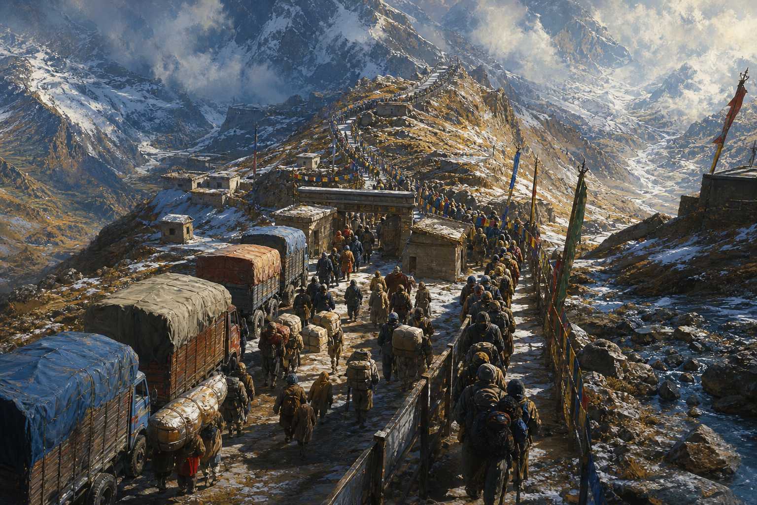
Afghanistan has no coast. Much of its trade to the sea has to pass through Pakistan, through crossings such as Torkham, near the Khyber Pass, and Chaman in the south.
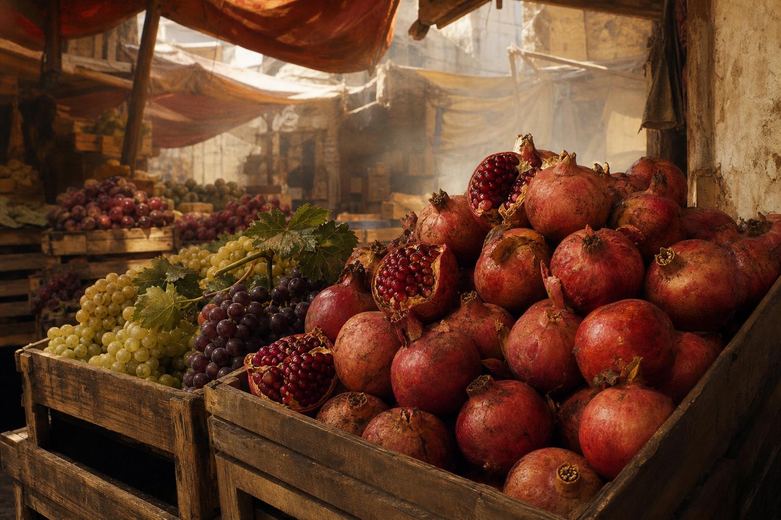
When the dispute flared, the gates closed. In 1955 Pakistan shut the border for about five months. In September 1961 the two countries broke off relations, just as Afghan grapes and pomegranates were due to be exported.
Trade fell sharply. In 1963 Afghanistan's prime minister, Mohammad Daoud Khan, the champion of the Pashtunistan cause, resigned, and with help from the Shah of Iran the border reopened. Press Open to let the traffic through.
0 km
of coastline
2
main crossings to Pakistan: Torkham and Chaman
A landlocked countryA harvest with nowhere to go In 1961 the Soviet Union offered to buy the fruit and airlift it out; Afghan planes flew crops to India in 1961 and 1962. AI-generated still.
customs revenue fell sharply
foreign-exchange reserves badly depleted
Afghanistan leaned on Soviet transit routes and aid
What the closures did
Chapter IV · Open and shut
Closures, 1955 and 1961–63
Library of Congress country study: in 1955 Pakistan closed the border for about five months (Wikipedia: after protesters attacked Pakistan’s embassy and consulates in Afghanistan in March 1955, in a row over Pakistan’s merger of its western provinces). On 6 September 1961 Afghanistan and Pakistan broke diplomatic relations, halting cross-border traffic as grape and pomegranate exports were due; the USSR offered to airlift the fruit. Customs revenues and trade fell sharply. In March 1963 King Zahir Shah asked Daoud to resign, citing the economic damage of his Pashtunistan policy. The border reopened in 1963, largely through the mediation of the Shah of Iran (Wikipedia).
For most of its history the line was lightly marked and easy to cross. In 2017 Pakistan began building a fence along it, saying it was needed to stop militants. The line is marked by two hundred and thirty-five crossing points.
By April 2023, Pakistani officials reported, ninety-eight percent of the fence was complete.
Critics, including a former Pakistani diplomat writing in Arab News, say it has split families and cut local trade and visits across the line.
235
crossing points marked along the line
$532 million +
estimated cost (2019)
The fence (Pakistani figures)
Jan 2019
900 km
Apr 2023 (98%)
≈ 2,550 km
Fence completed In January 2022 Pakistan’s interior minister said only 20 km remained.
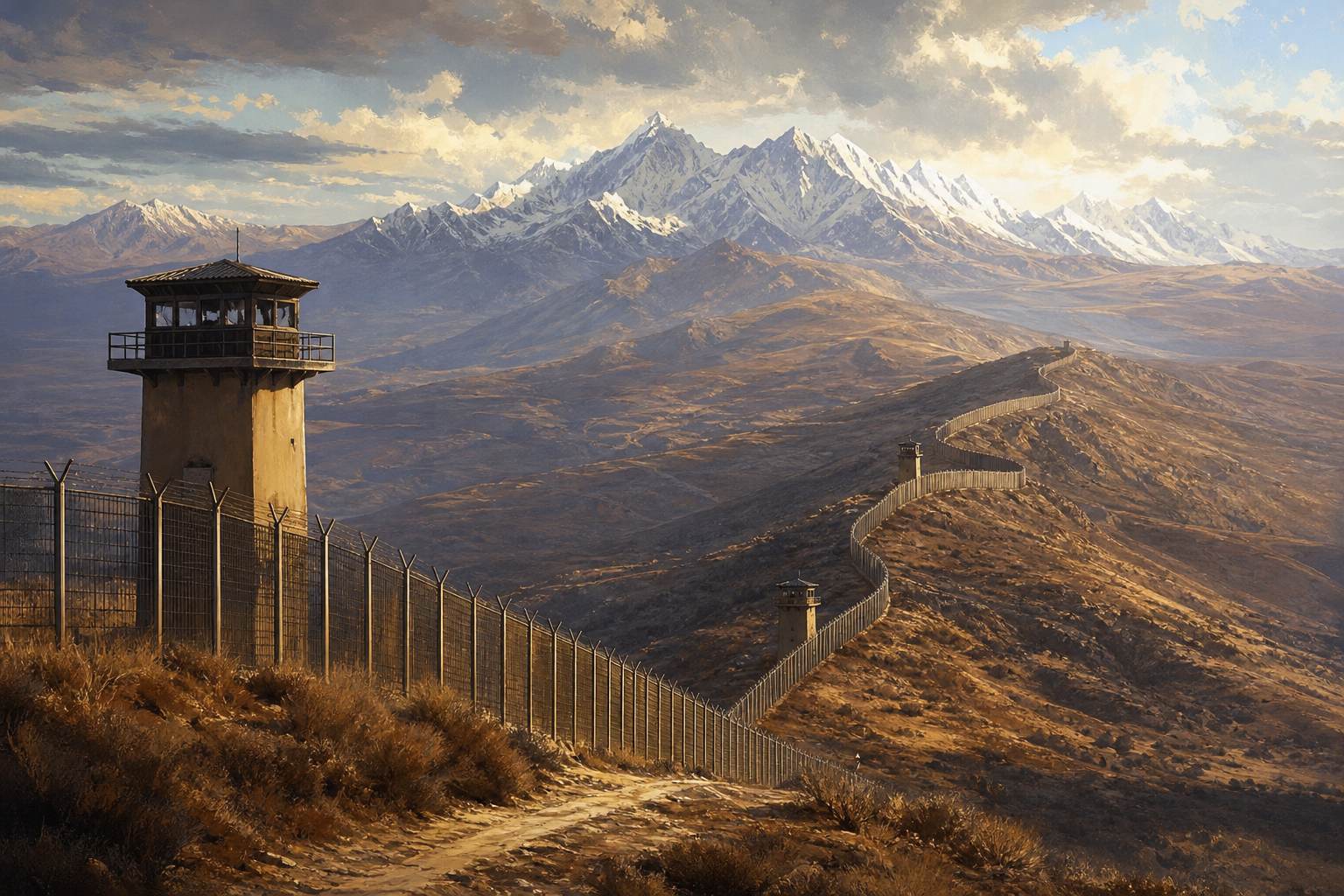
Crossing points An Arab News opinion piece put the fence’s cost at more than $1 billion, higher than the official estimate. AI-generated still.
Chapter IV · Open and shut
The fence
Pakistan began building a fence and barrier in 2017. By January 2019, 900 km were complete; the project was estimated to cost at least $532 million and the line had 235 crossing points. In January 2022 the interior minister said 20 km remained; by April 2023, 98% of the fencing was reported complete (Wikipedia, citing Pakistani officials).
The Arab News piece (2023) is an opinion column by a former Pakistani diplomat and is cited only for its view of the fence’s effects. In the bars, 98% of about 2,600 km is drawn as ≈ 2,550 km.
When the Taliban returned to power in Kabul in 2021, Pakistan's leaders at first welcomed it. Instead of calm, the border became more violent.
Pakistan blames most attacks on its soil on the Pakistani Taliban, the T T P, a separate group allied with the Afghan Taliban, and says its leaders shelter in Afghanistan. Kabul denies this.
After deadly clashes in October 2025 and a ceasefire brokered by Qatar and Turkey, fighting returned. In February 2026 Pakistan declared what it called open war, and talks since have not produced a lasting peace.
Pakistan: TTP fighters operate from Afghanistan; strikes target militant camps
Afghan Taliban: denies sheltering the TTP; accuses Pakistan of harbouring ISIS-K, the regional branch of the Islamic State group, which Pakistan denies
Each side says
Oct 2025 deadliest clashes since 2021; Qatar–Turkey ceasefire
27 Feb 2026 Pakistan declares “open war”
Mar 2026 three-day Eid ceasefire; clashes resume
2026 China-mediated talks, no formal agreement
17 Oct 2026 exchange of fire in Kurram
2025–2026 (CFR tracker)Crossings under strain CFR: in October 2026 Pakistan declared a state of emergency in Khyber Pakhtunkhwa, the province along much of the line. AI-generated still.
Chapter V · Today
The line today
Council on Foreign Relations tracker: Pakistan struck targets in Afghanistan in October 2025 in the deadliest clash since 2021; Qatar and Turkey brokered a temporary ceasefire. After attacks in Islamabad and Bajaur in February 2026, Pakistan struck camps in Nangarhar and Paktika, fighting spread, and on 27 February Pakistan declared “open war”. A three-day Eid ceasefire in March did not hold; China-mediated talks produced no formal agreement. Pakistan says TTP fighters operate from Afghanistan; the Taliban denies sheltering them.
Casualty figures in this conflict are disputed; this film cites only figures attributed to the UN mission or to a named side.
So the Durand Line began as a deal between an empire and an emir. Most of the world treats it as Pakistan's border; no Afghan government has formally accepted it.
The Pashtun families it divided still live on both sides, now with a fence between them.
Today's fighting has its own causes, from militant groups to politics in both capitals. But it is fought along a line whose meaning the two neighbours have never agreed on.